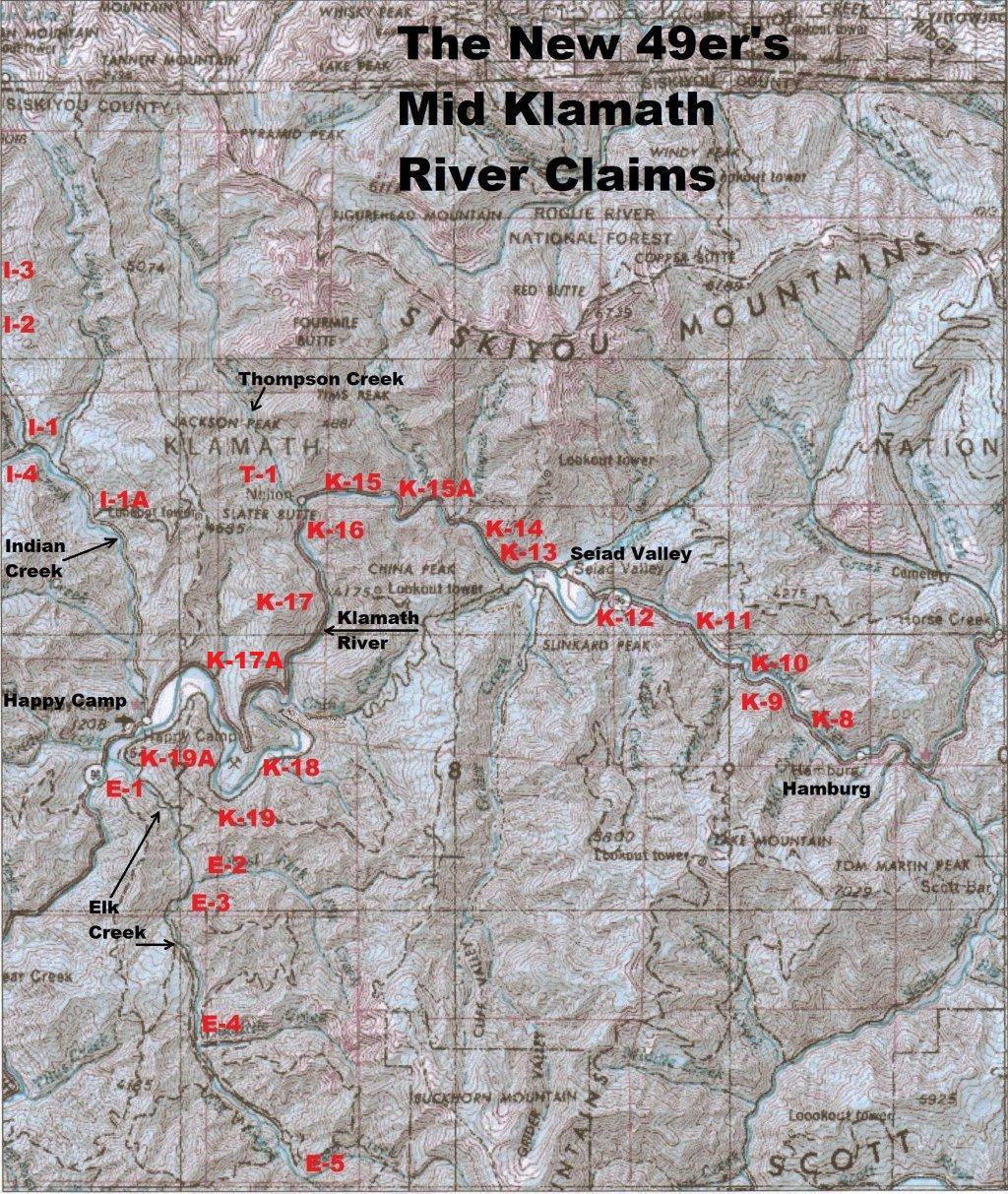
Important note concerning Mining & Dredging Seasons on this Property
Google Earth Coordinates: 41 44’41.4″N 123 21’21.8″W
To view the content from the link above you will need to have Google Earth installed on your home computer. Download Google Earth
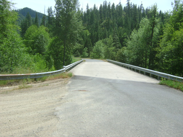
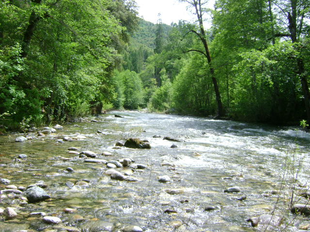
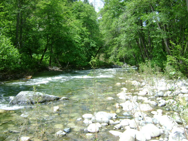
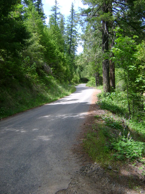
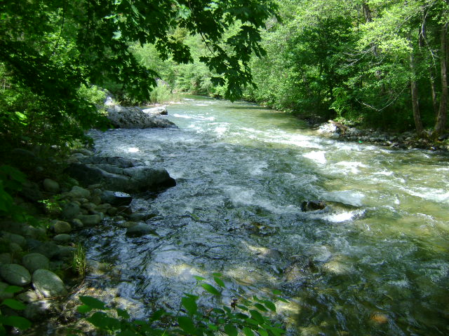
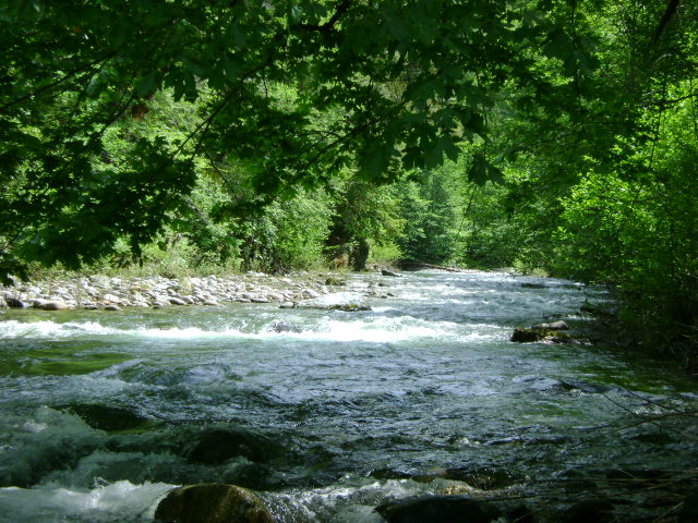
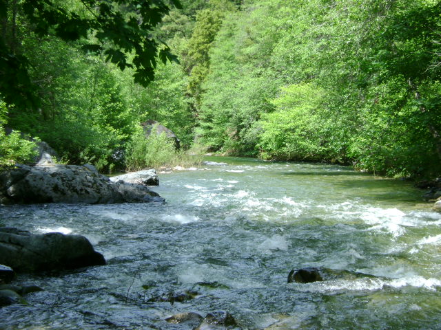
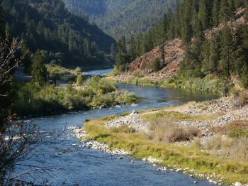
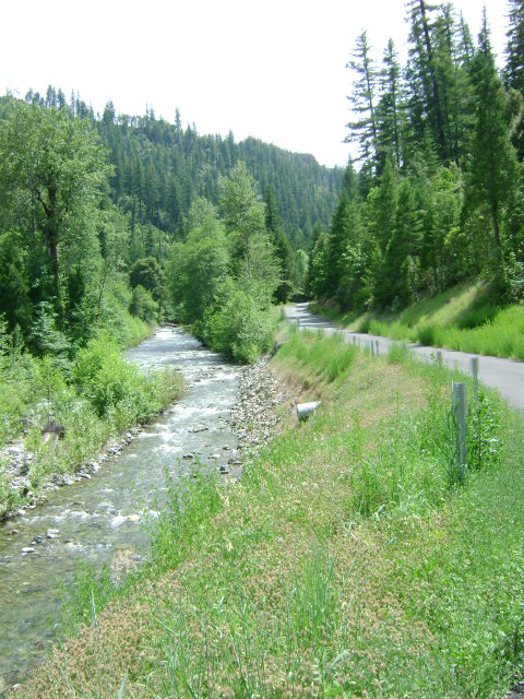
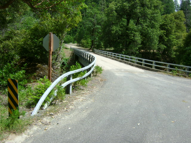
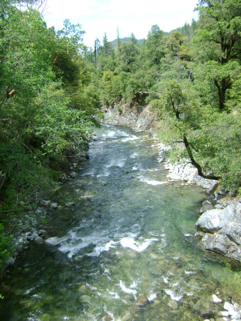
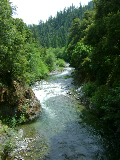
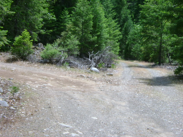
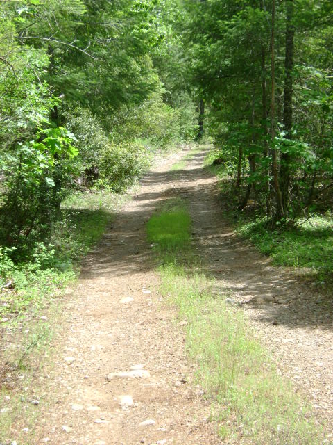
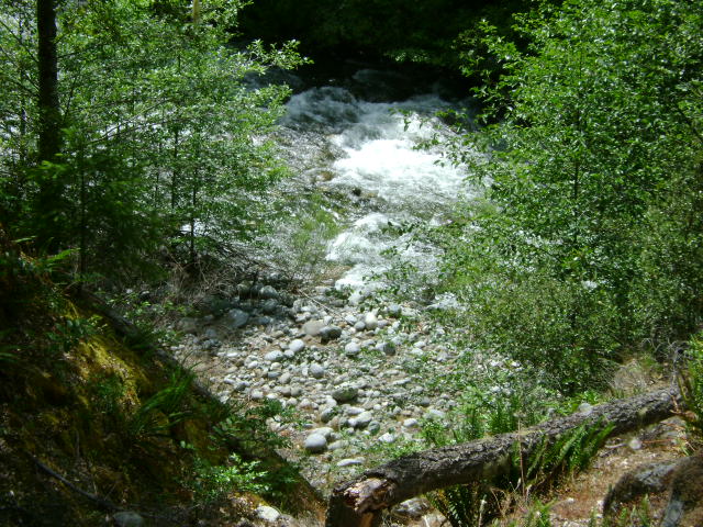
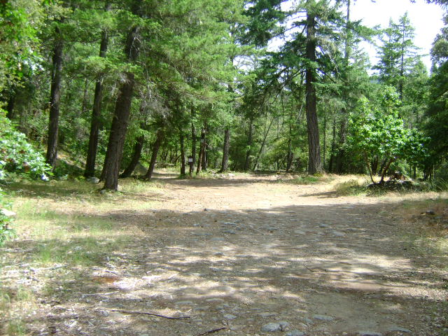
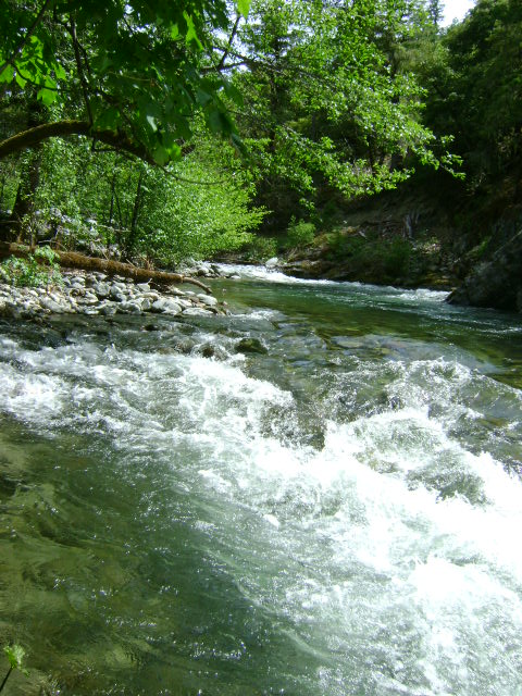
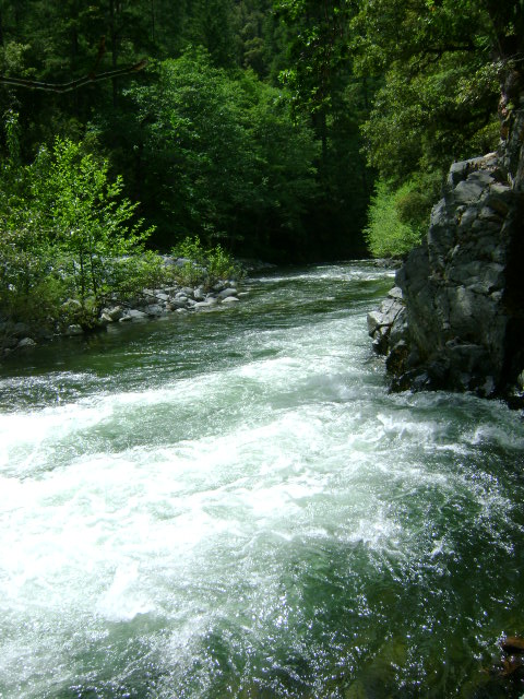
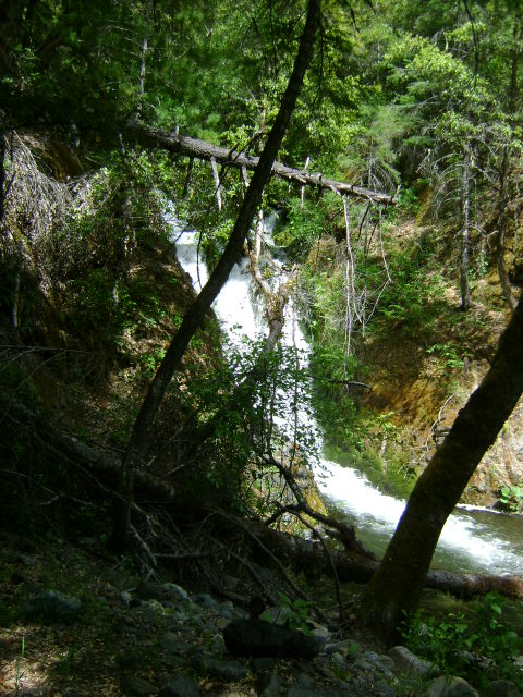
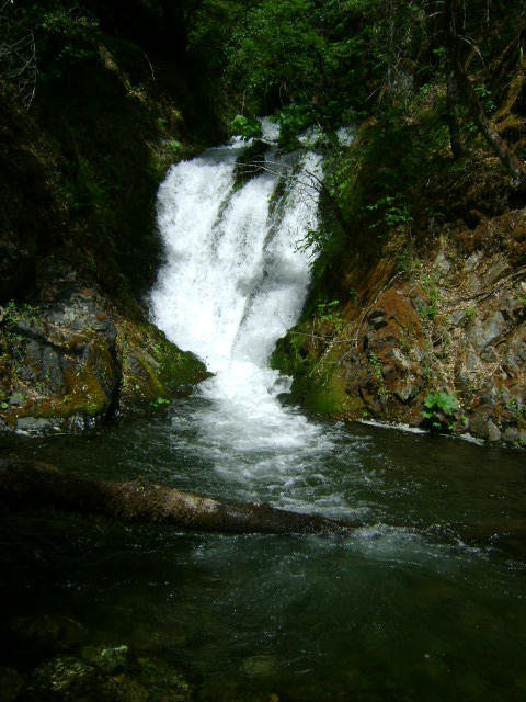
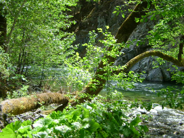
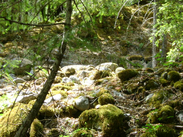
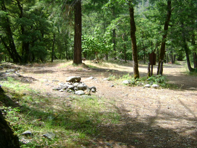
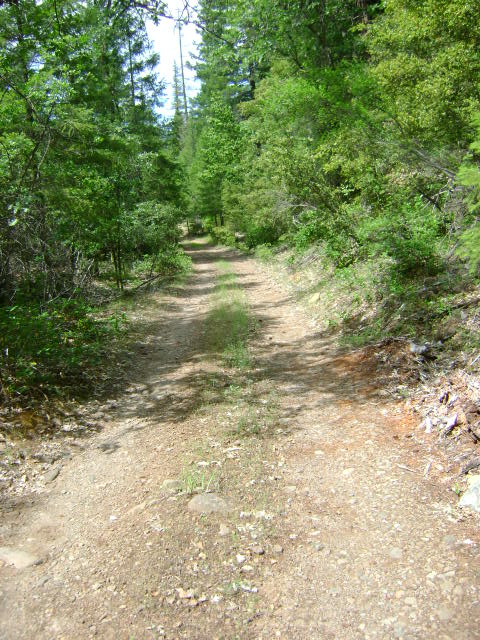
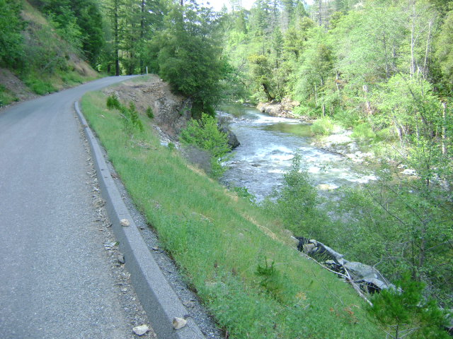
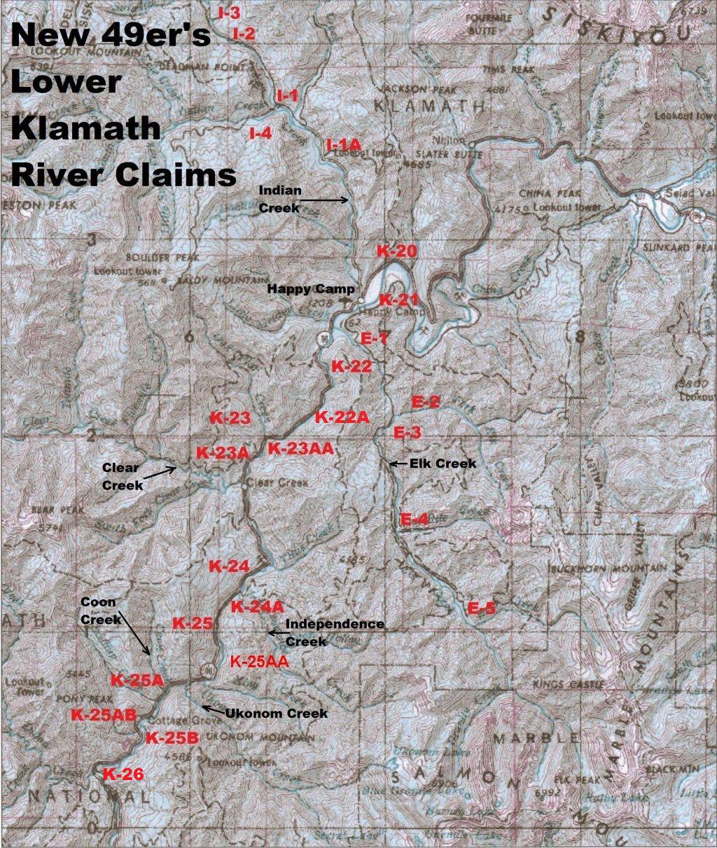
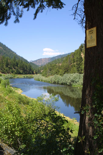
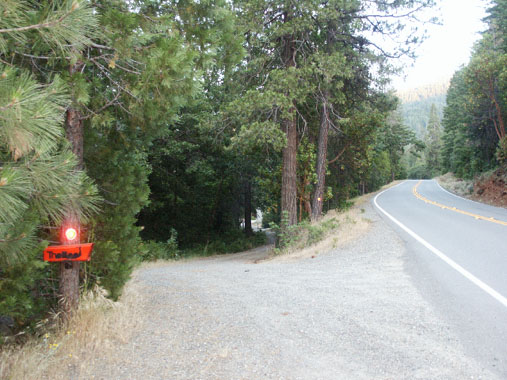
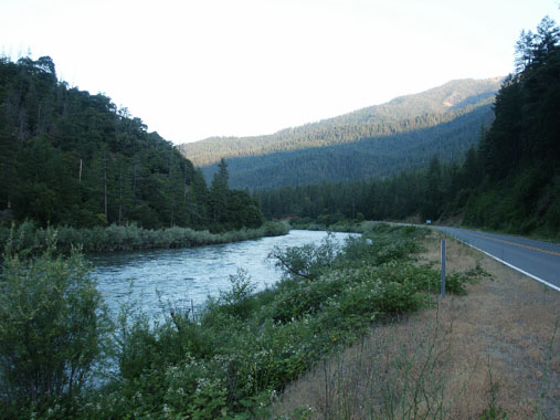
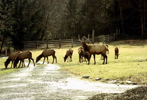
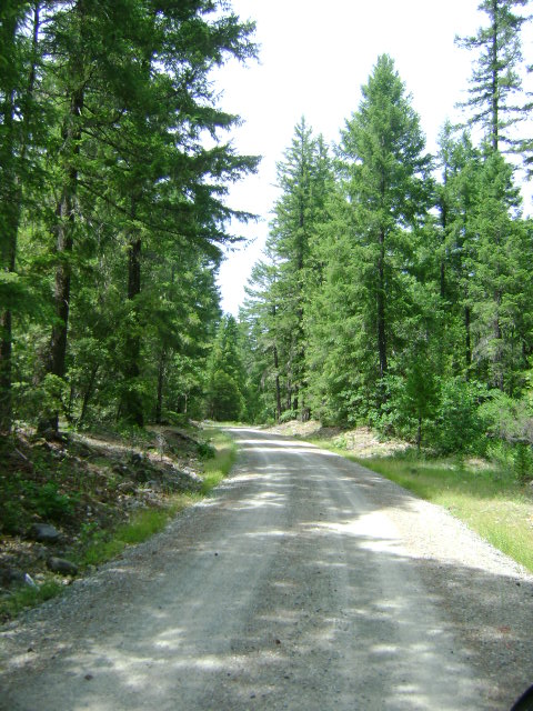
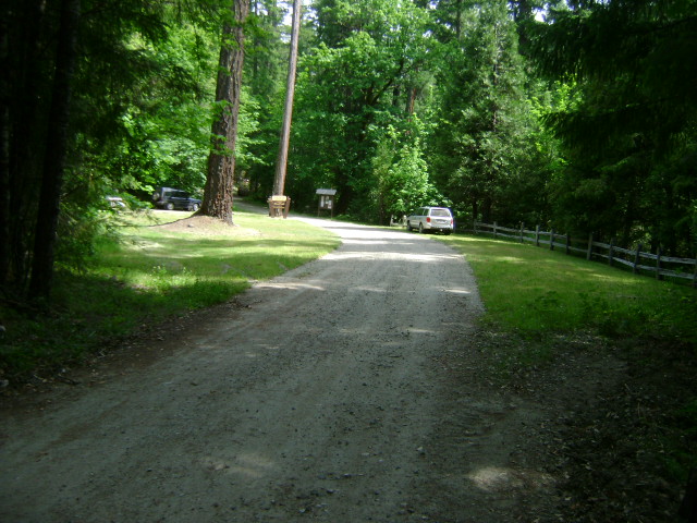
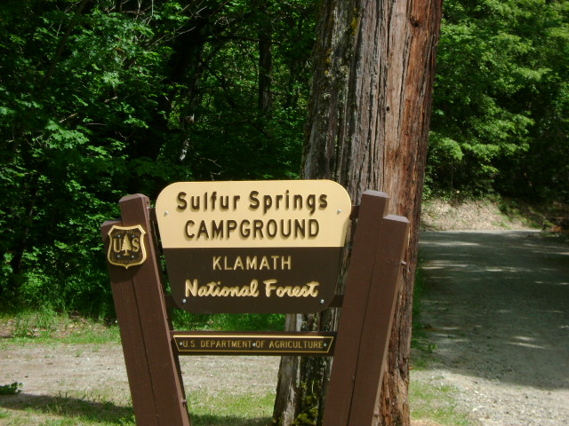
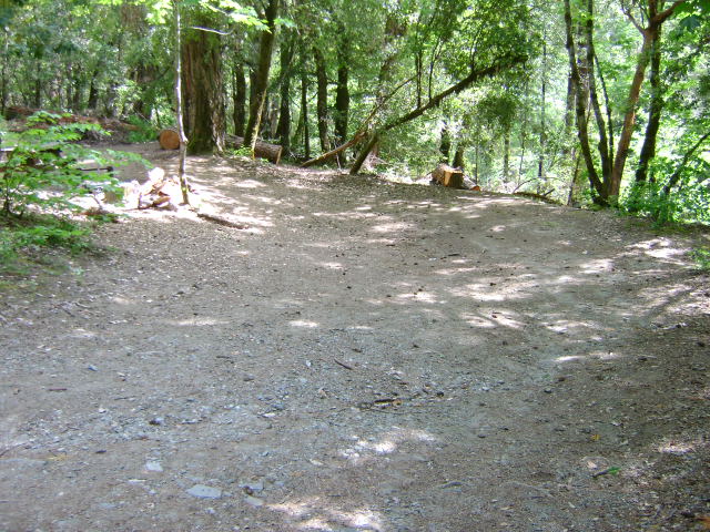
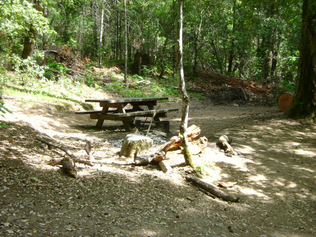
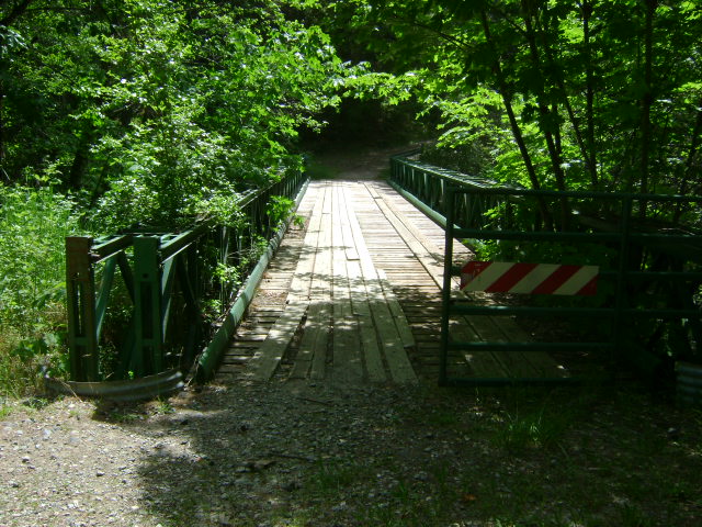
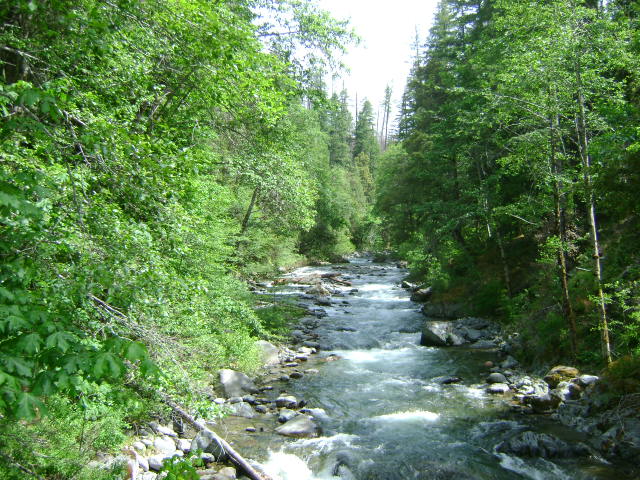
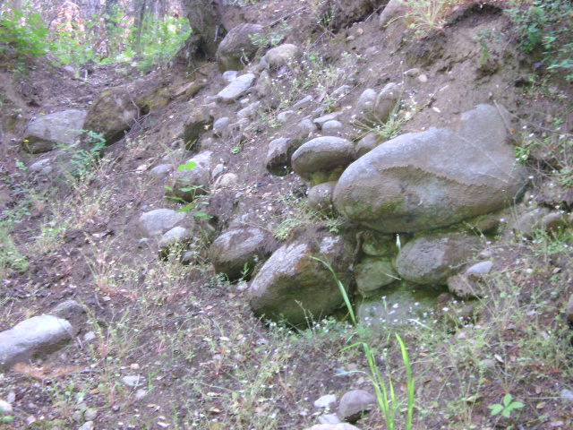
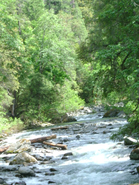
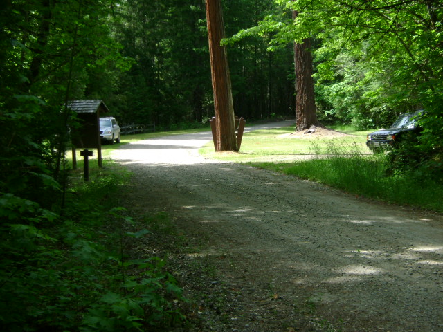
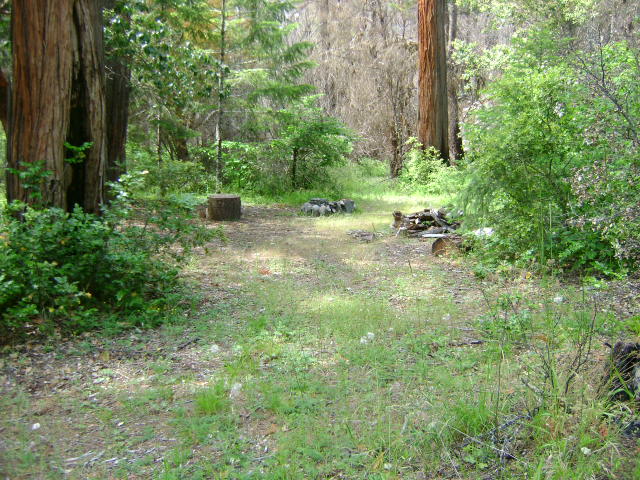
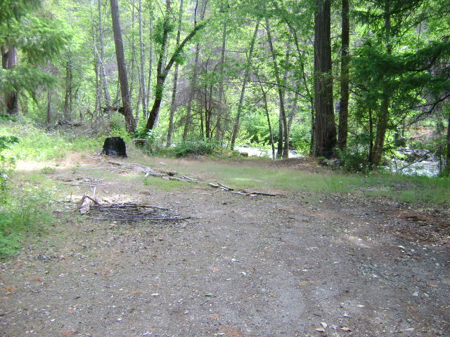
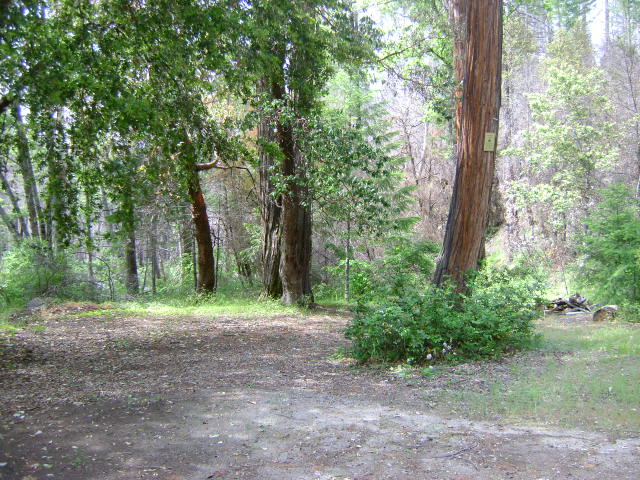
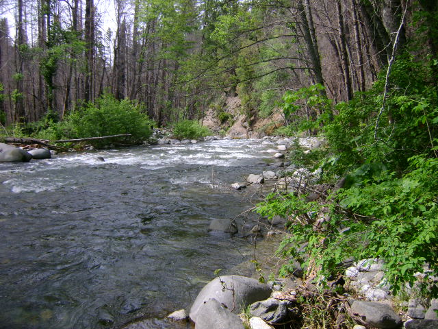
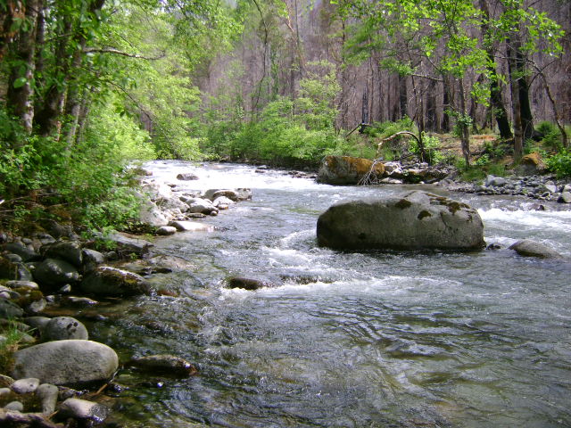
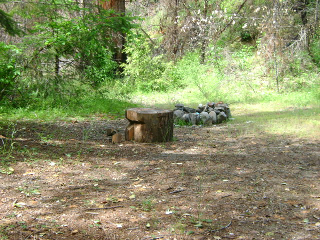
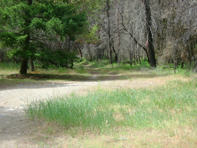
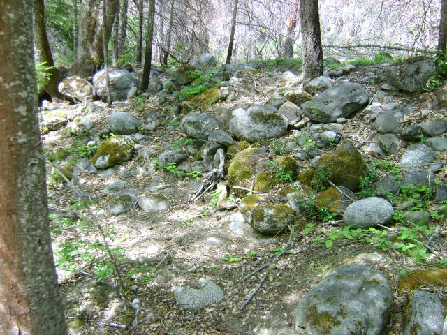
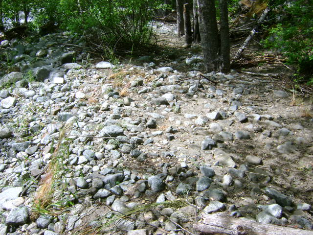
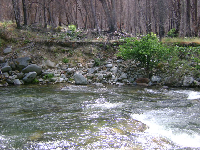
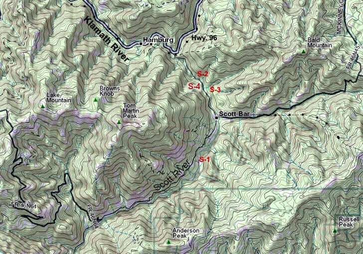
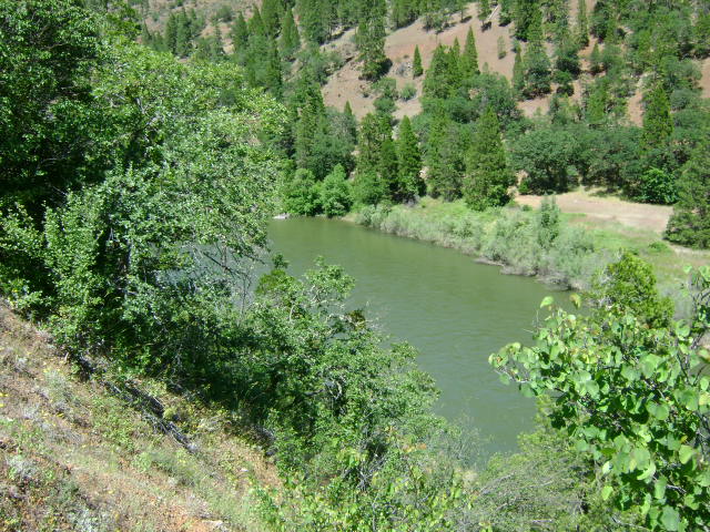
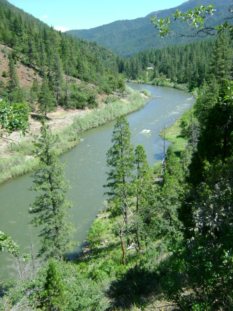
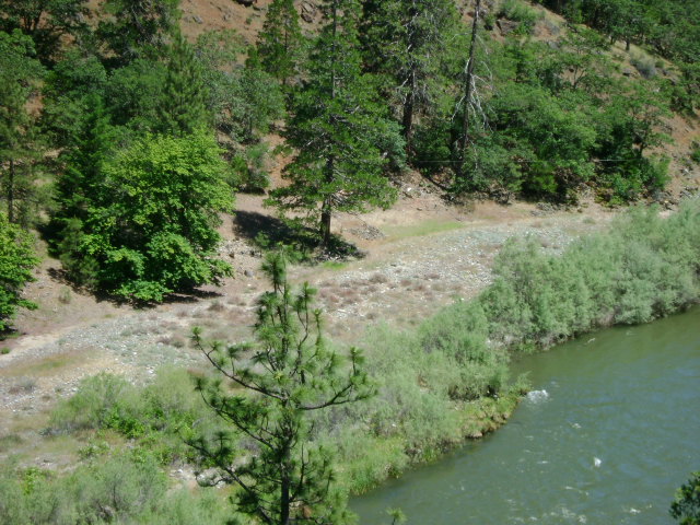
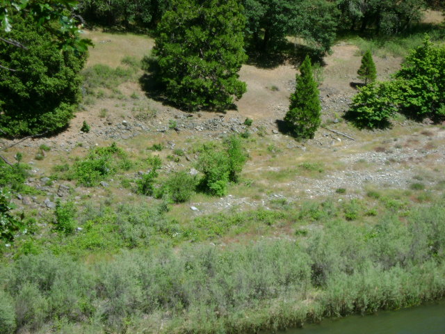
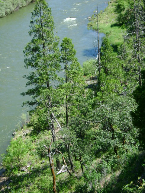
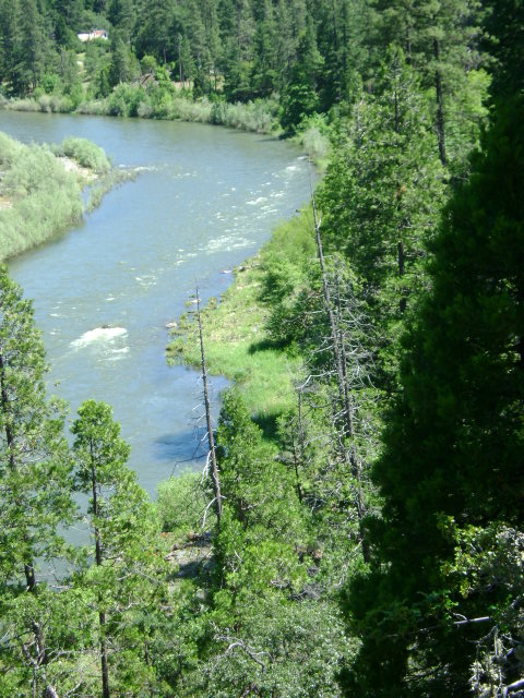
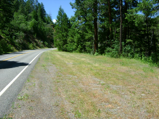
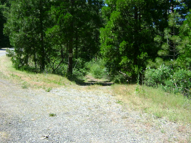
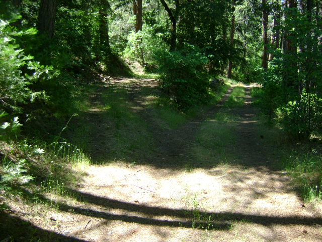
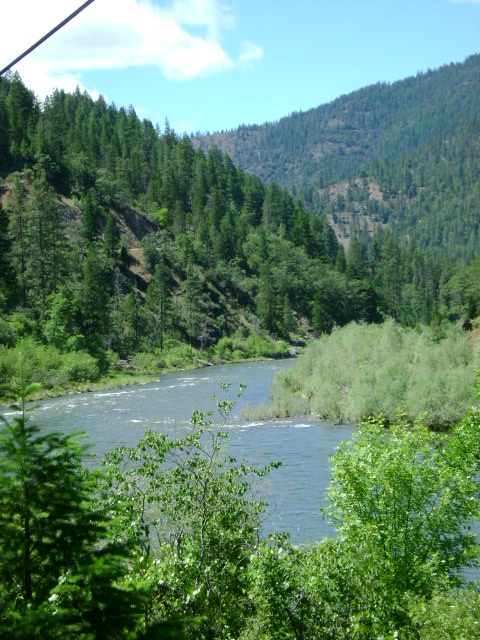
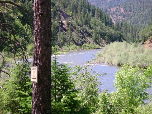
E-3 ELK CREEK CLAIMS AT THE 5-MILE BRIDGE – The lower creek boundary is marked 1/10 of a mile upstream from the 5-mile bridge on Elk Creek Road. The 5-mile bridge is the first bridge which crosses Elk Creek when driving up there from Highway 96. The first creek access and campground is located about 1/5 of a mile further upstream. When dredging in this area, please be careful not to disturb or undermine the special boulder fish weirs which have been constructed to improve the fishery habitat. There is a second access road and camping area located 1.3 miles further up Elk Creek Road from the 5-mile bridge. This access road is a bit narrow, and we suggest you look before driving in. The upper creek boundary is posted on a tree alongside the creek at the end of this road and camping area.
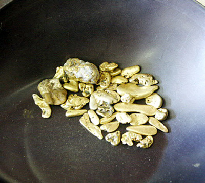
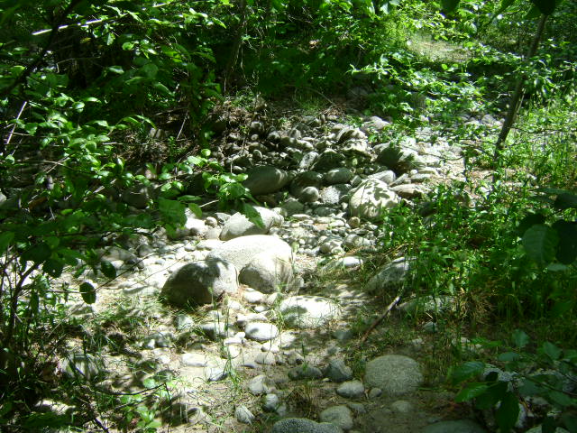
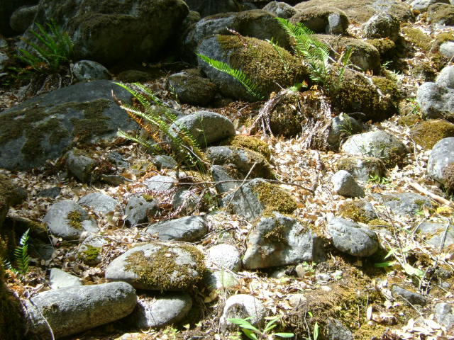
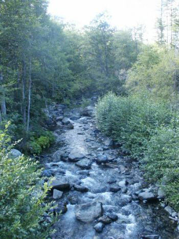
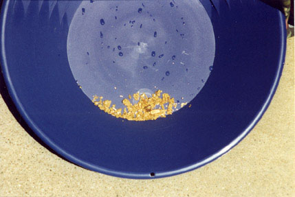
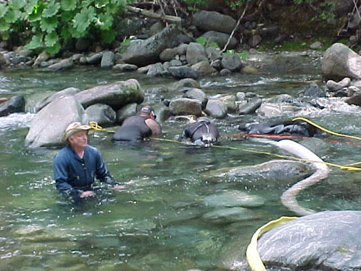
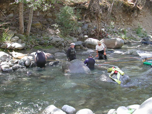
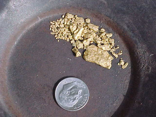
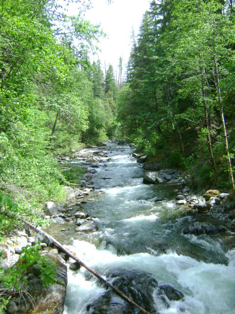
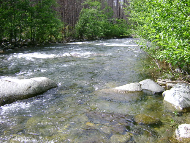
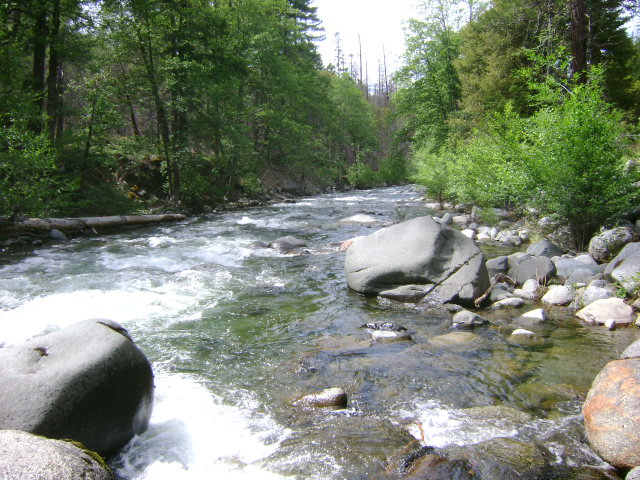
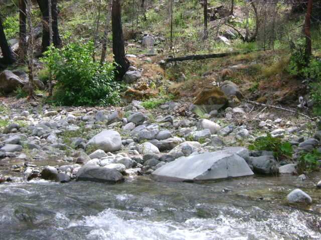
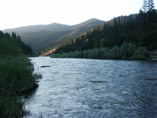
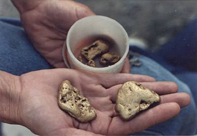
PROSPECTS: Members have done exceptionally well on these claims using suction dredges. The gold seems to come off bedrock and out of the lowest strata of gravels. There is a lot of nuggets and jewelry gold. Several members have come back year after year to dredge these claims. Gravel depth can be shallow to 8 or 9 feet thick, depending on the location. Most of the member activity has been at the lower portion of these claims. Prospects for the upper portion look just as promising. One woman dredging on the adjoining claim downstream recovered 10 ounces of gold nuggets in just one day using a 5-inch dredge. So the potential is great!