Important note concerning Mining & Dredging Seasons on this Property
Google Earth Coordinates: 41 52’37.11″N 123 19’16.44″W
To view the content from the link above you will need to have Google Earth installed on your home computer. Download Google Earth
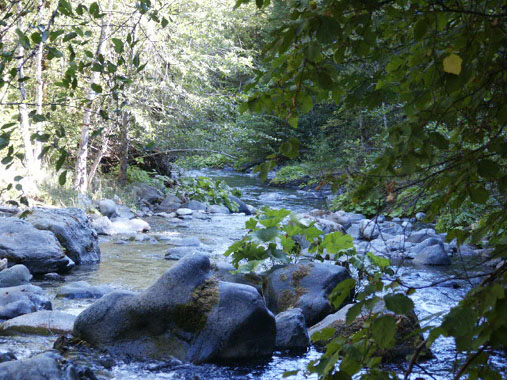
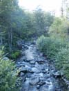
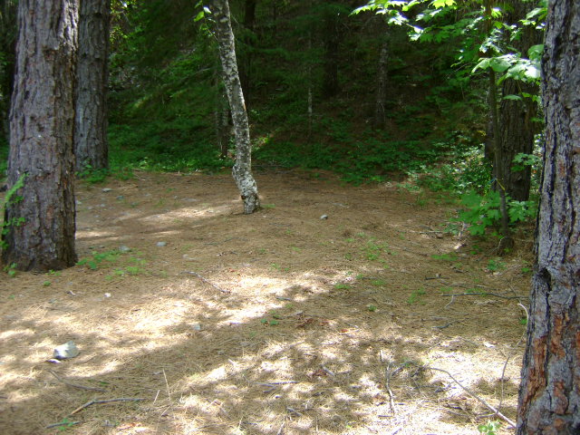
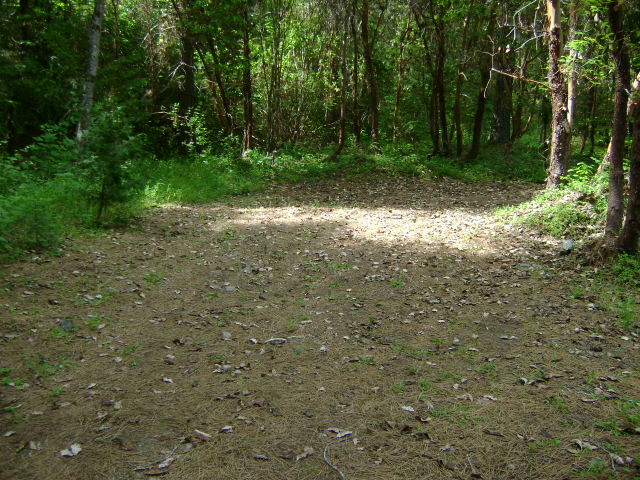
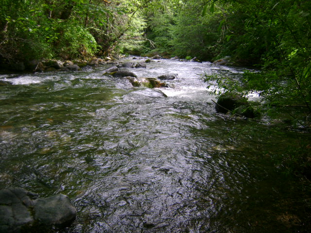
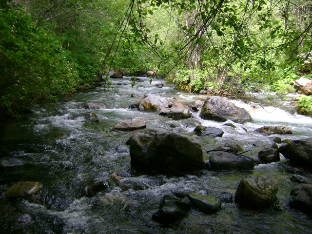
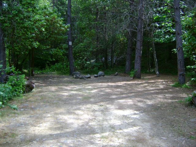
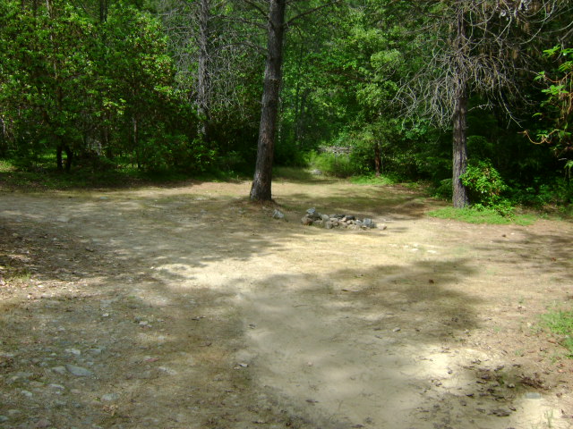
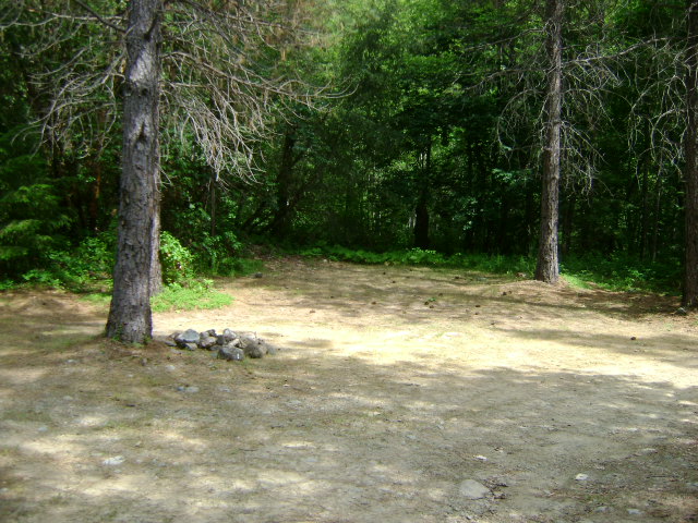
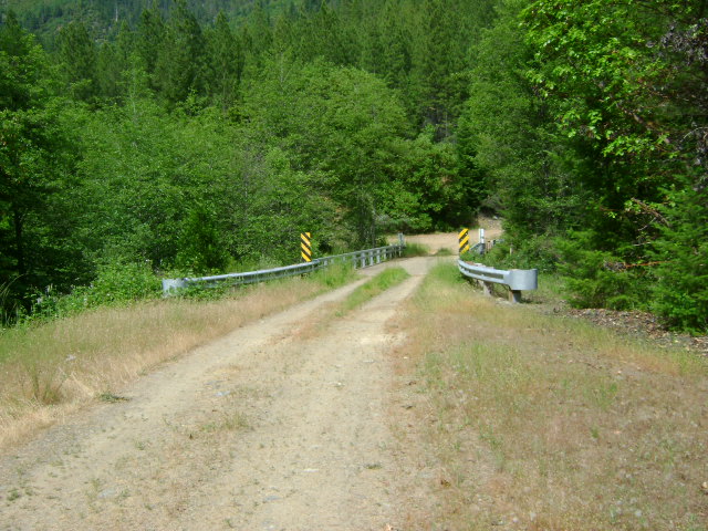
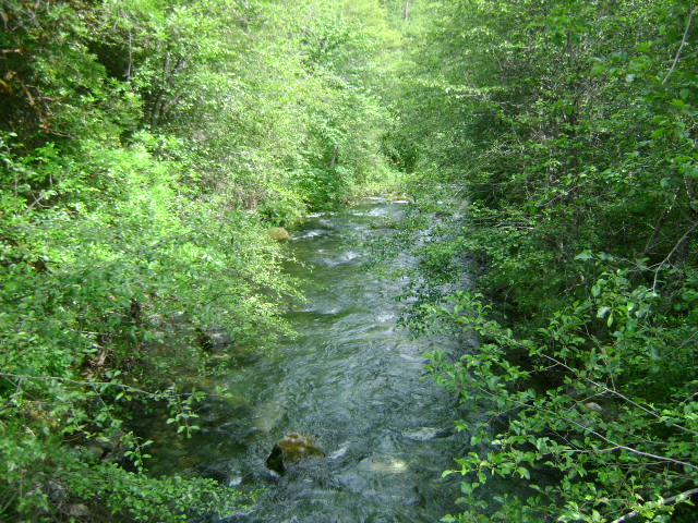
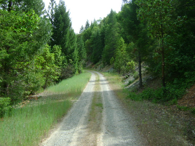
T-1 LOWER THOMPSON CREEK CLAIMS – are located on Thompson Creek, which is 10.9 miles upriver from Happy Camp. The creek is marked with a sign on the Highway 96 Bridge which crosses the creek. Since there is private property at the lower end of the creek (Thompson Creek Lodge), our claims must be accessed by a Forest Service road (road #18N01) which is located 3/10 of a mile towards Happy Camp on Highway 96 from Thompson Creek. Since our claims take in miles of the lower end of the creek, there are several points of access. Approximately 1.6 miles up the #18N02 access road, it splits three ways. Taking the right-hand road (may need some brushing) will lead you to the lower-end of our claims. The middle road will take you to the upper end of T-1. This road is not maintained anymore. So we suggest you check it out before driving an RV or pulling a trailer on this road. ATV’s might be a big help to gain access on this creek. To access the lower end of T-1, take the right-hand split in the road. The road will lead you to a small bridge that crosses Thompson Creek 1.3 miles from the split. Just before the bridge, you can take a right turn into a camping area and creek access. The lower creek boundary is a long way down the creek from there. There is another old creek access road that you will pass on the way in, but it will likely need some brushing to make it passable. You can also take a left turn just before the small bridge that will take you onto a 4WD very primitive road, which splits left and right, just after crossing a small feeder creek. All of these primitive roads are overgrown with brush and may require some work before use. They lead to creek access points further up and downstream. There is limited camping space in both areas. We highly suggest you look, before driving into these areas. There is another lower creek access and camping area which can be reached by crossing over the small bridge and taking an immediate left up another primitive road. We suggest you look before driving in. To reach the upper access area of T-1, rather than take the right split in the road (1.6 miles up #18N01 from Highway 96) which leads you to the small bridge, you would take the center option in the road and follow it 4 miles from the split. The right-hand turn follows an overgrown and primitive road which leads to a parcel of private property. The private property is the upper boundary of T-1. Watch for the appropriate posted signs. There is limited camping at the bottom. The bottom of the road is just upstream from the upper boundary of T-1.
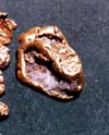
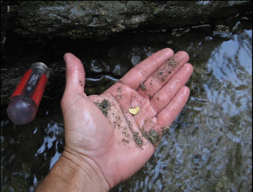
PROSPECTS: Thompson Creek has good gold, and much of it is big and slabby. One old-timer (named Briggs) found a pocket of gold up Thompson Creek that was so rich, he was able to retire. His gold was found in slabs-which is typical of Thompson Creek gold. Members have found gold all along T-1, wherever they have dredged. Some do better along the edges, and some find it in the center of the creek. The gold seems to be associated with boulders and bedrock. The gold is spotty-meaning that in some places you find none, and in other places you find plenty. Because access is not easy on most of T-1, member dredging has been limited to the direct access areas. We had several members doing well mining out of the creek in a gravel bar below the lowest campground. They were finding fine gold and flakes in the streambed gravels. Overall, the prospects look excellent. If you are dredging, you must reach bedrock, most often in the boulders, in order to do well. Some areas have bedrock exposed or within a foot or two. Here is a nugget which one of our members recently located with a metal detector. Other areas have several feet, or up to 8 or 9 feet of gravel and material over top of bedrock.


