

Important note concerning Mining & Dredging Seasons on this Property
Google Earth Coordinates: 41 50’10.5″N 123 10’31.3″W
To view the content from the link above you will need to have Google Earth installed on your home computer. Download Google Earth
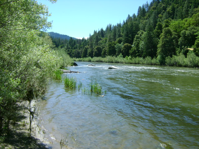
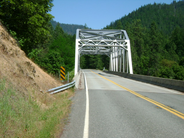
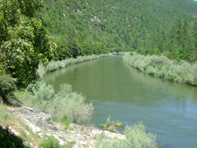
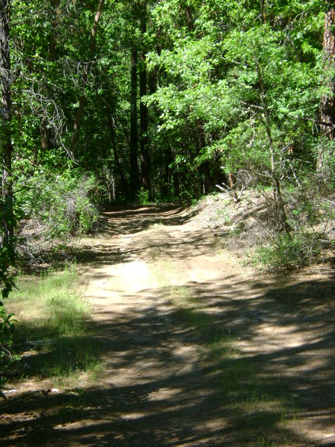
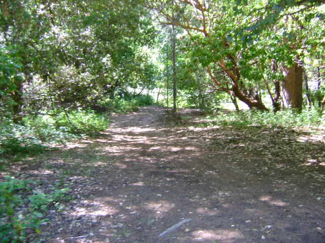
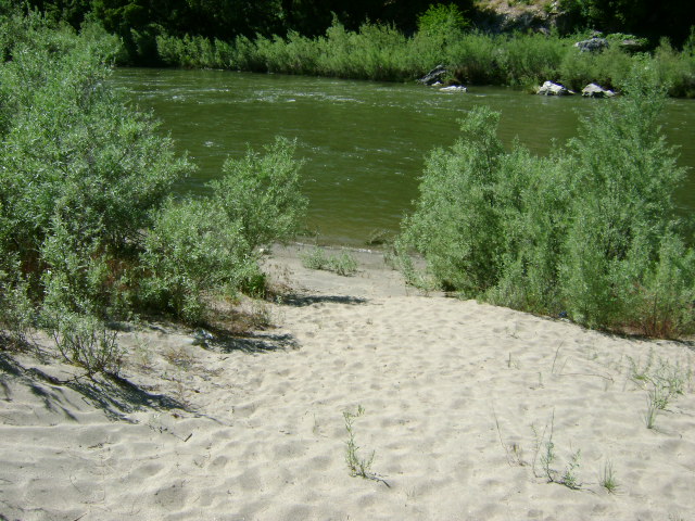
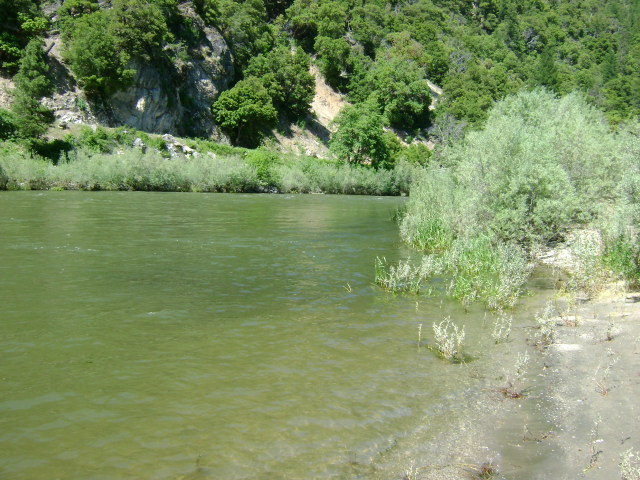
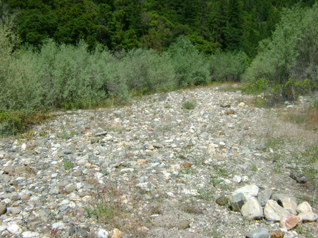
K-12 UPPER SEIAD CLAIMS – are located 1.2 miles upriver from where Highway 96 crosses Seiad Creek. The Highway 96 bridge across the Klamath River serves as the lower boundary of this claim. Access to the the upper half is blocked by some private property that extends across the river, and the owners are fond of their privacy. Look for the signs the owner has posted along the river. Therefore, access to the upriver portion must be done by boat or from Ladd Road in Seiad Valley, located just north from the bridge where Highway 96 crosses the river.
PROSPECTS: We have very little information about how members have done on this claim. However, the prospects look promising because rich gold deposits have been dredged from the river during recent years from the claims located just up and down river.

Upper Klamath :: Upper-mid Klamath :: Mid Klamath :: Lower Klamath
Elk Creek :: Indian Creek :: Scott River :: Thompson Creek
Salmon River Main Stem :: Salmon River North Fork
Master List of Mining Properties


