

Important note concerning Mining & Dredging Seasons on this Property
Google Earth Coordinates: 41 51’36.6″N 123 18’33.3″W
To view the content from the link above you will need to have Google Earth installed on your home computer. Download Google Earth
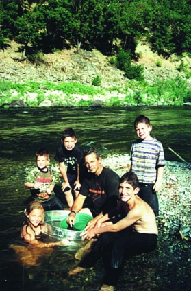
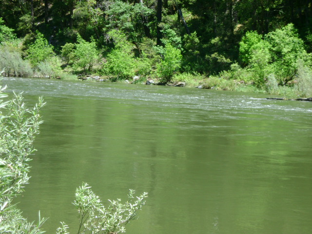
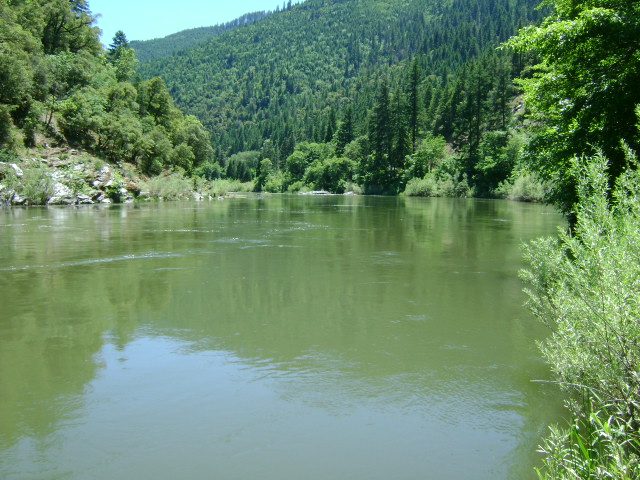
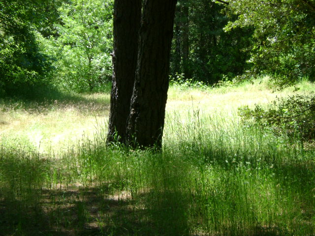
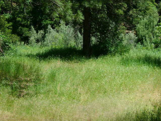
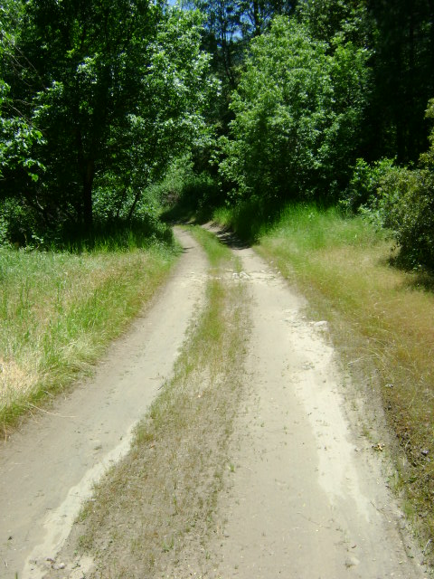
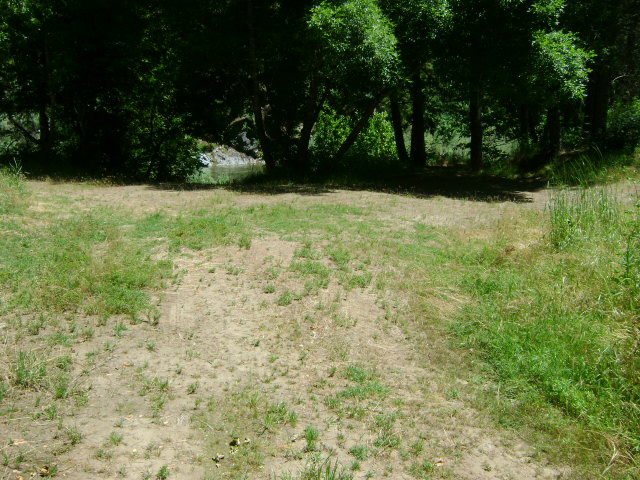
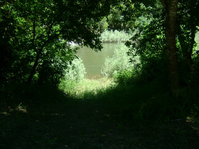
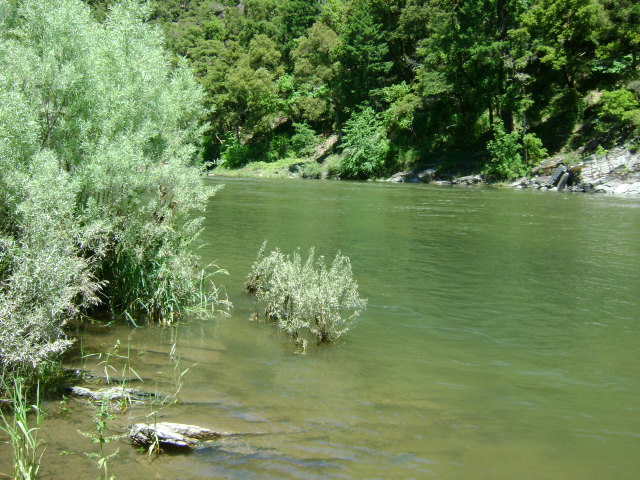
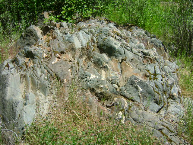
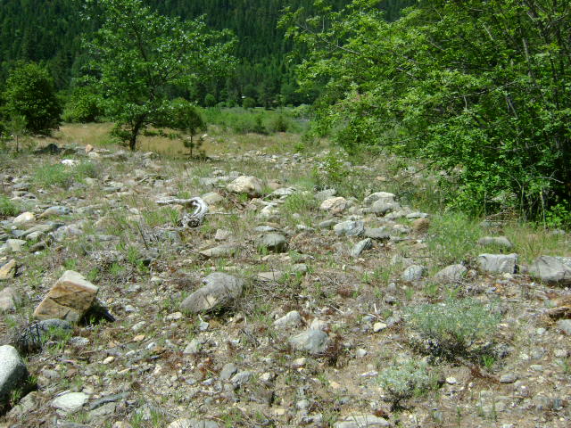
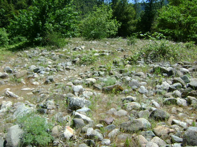
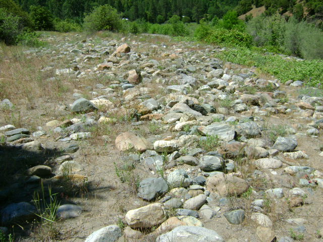
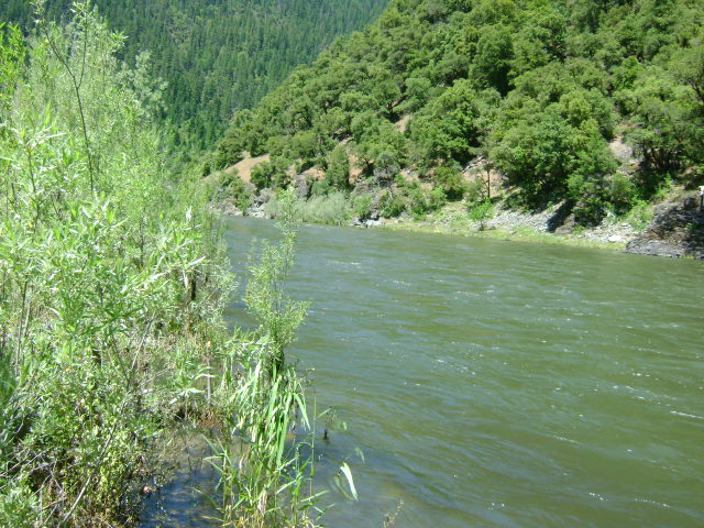
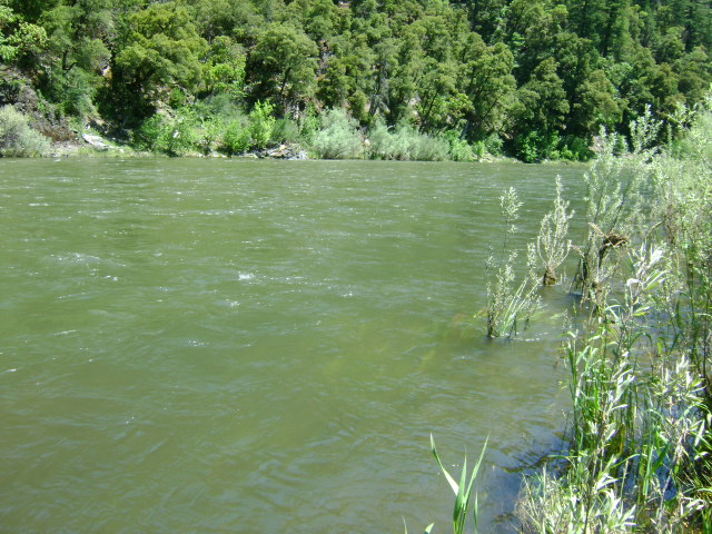
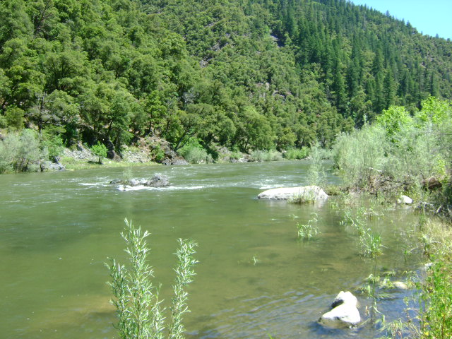
K-16 ANDERSON CAMPGROUND CLAIMS – Located approximately 11 miles upriver from Happy Camp on Highway 96. The upriver boundary (mile marker 52.50) is located just downriver from the confluence of Thompson Creek. Look for the large piece of bedrock jutting up out in the river on the Hwy 96-side of the river. There is a “Private Property” sign hanging in some brush there alongside of the river. The downriver boundary (mile marker 51.85) is posted on a tree alongside the road, just downriver from the lower access to our campground. The campground (long-term) is located between Highway 96 and the Klamath River, 1/4 mile downriver from Thompson Creek near mile marker 52.28. Look for a “No Hunting” sign at the beginning of the road that leads into the campground off Hwy 96 towards the river. This is a popular camping area. There are several parcels of private property located between Highway 96 and the river, between Thompson Creek and our campground-but most of the private property does not come near the Klamath River. There is one small piece of private property that extends out about to the center of the river, directly at the confluence of Thompson Creek. The primary access to this claim is from the campground river access points.
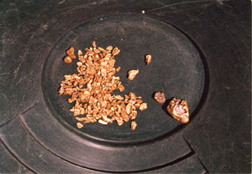
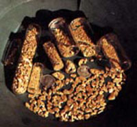
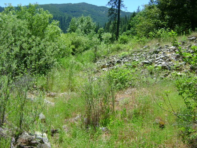
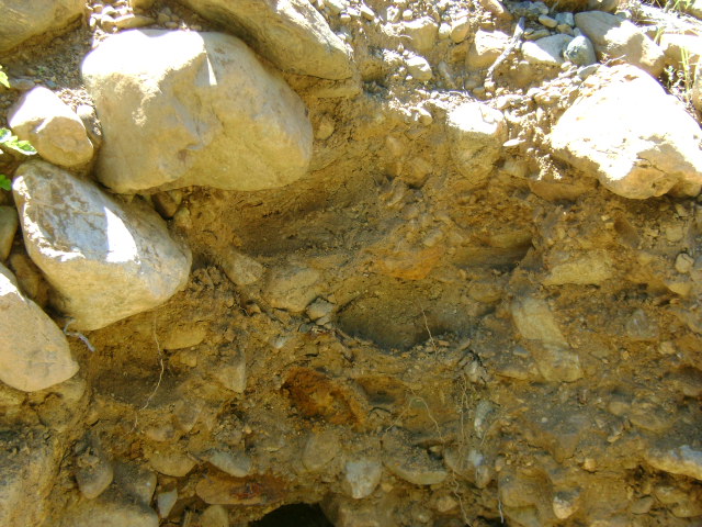
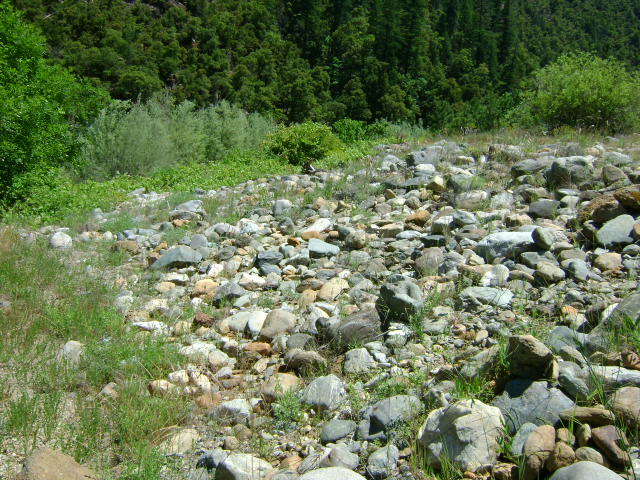
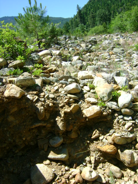
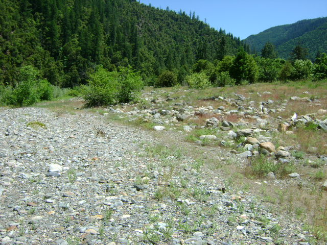
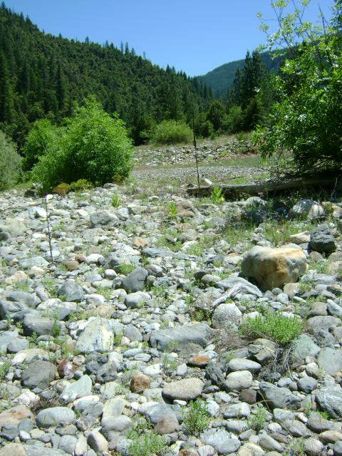
PROSPECTS:This is a very rich section of the Klamath River, with hundreds of ounces of gold having been recovered by members during the past several years-mostly by dredging. There are nice nuggets being recovered from the road-side of the river downstream from Thompson Creek. Water and gravel depth ranges from shallow to deep, depending on where you go. Gravel tends to be shallow on both banks on the upper half of the claim, while deep in the middle. Only about 1/3 of the claim has been mined by members, if that, and good potential is present for new, rich strikes to be made. There is excellent panning and high-banking opportunity on the Highway-96 side of the river, from the bottom to the top-end of the claim. If you look towards the upper-end of the property, you will see that there are at least 3 separate levels of streambed up out of the water that deserve testing.


Upper Klamath :: Upper-mid Klamath :: Mid Klamath :: Lower Klamath
Elk Creek :: Indian Creek :: Scott River :: Thompson Creek
Salmon River Main Stem :: Salmon River North Fork
Master List of Mining Properties


