


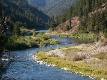
“Here follow the mining properties available to our members on the Klamath River along Highway 96 between the small town of Hamburg and the upstream side of Happy Camp.”
- Map of mid-Klamath River Area
- Google Earth view of the mid-River properties
- Mill Creek Claims (K-8)
- Negro Creek Claims (K-9)
- O’Neil Creek Claims (K-10)
- Schutts Gulch Claims (K-11)
- Upper Seiad Claims (K-12)
- Lower Seiad & Portuguese Creek Claims (K-13)
- Lower Seiad & Portuguese Creek Claims (K-14)
- Mega Hole Claims (K-15A)
- Glory Hole Claims (K-15)
- Anderson Campground Claims (K-16)
- Seattle Creek Canyon Claim (K-17)
- China Creek Claim (K-17A)
- Gordon’s Ferry Claim (K-18)
- Morgan Point Claims (K-19)
- Lower Woods Bar Claim (K-19A)


