

Important note concerning Mining & Dredging Seasons on this Property
Google Earth Coordinates: 41 51’49.1″N 123 16’6.1″W
To view the content from the link above you will need to have Google Earth installed on your home computer. Download Google Earth
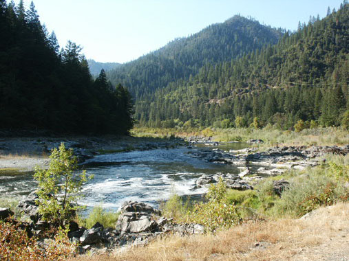
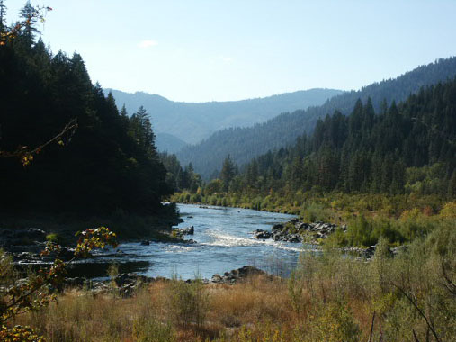
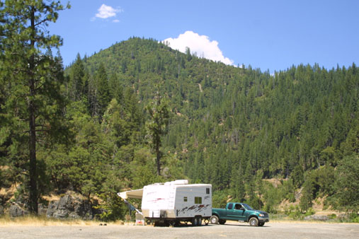
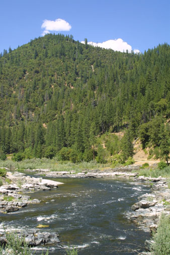
K-15A MEGA HOLE – The Mega Hole claims are quite long, the upriver boundary being located on a tree between the river and Hwy 96 near mile marker 55.62, about a ¼-mile below Fort Goff Creek – which is located about four miles upriver from Thompson Creek. The downriver boundary butts up against the Upper Glory Hole claims (K-15 at lower-Savage Rapids). Fort Goff Creek is easy to find, because there is a developed rest area at that location. There are also a few parcels of private property between Highway 96 and the river, toward the lower end of the Mega Hole claim. These parcels are posted. Otherwise, there is good access to most of the Mega Hole. The lowest parcel of private property, just above the Glory Hole, is a developed garden with a fence around it. That parcel extends 20 feet out into the river. Otherwise, most of the river is included along our mining claim. Longer-term camping areas for members are located on both sides of the highway, near Savage Rapids (mile marker 55.13), including on the large highway pull-off.
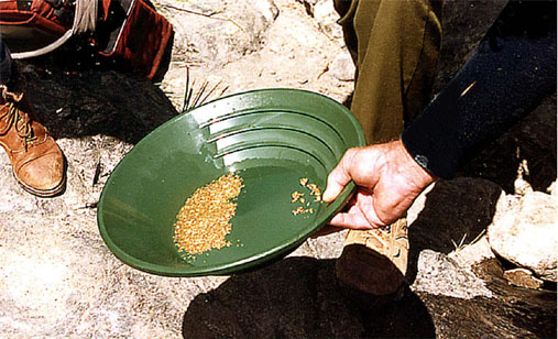
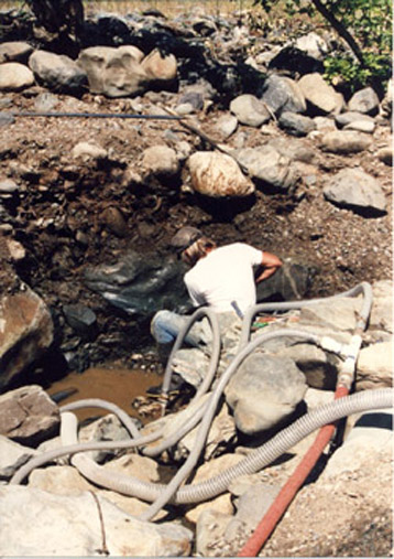
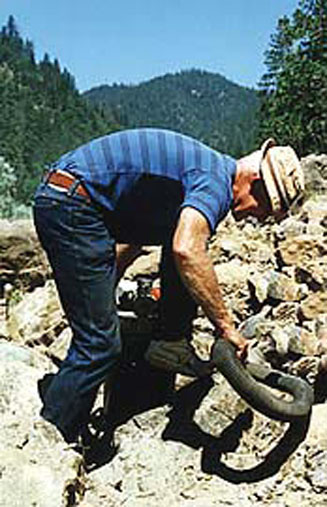
PROSPECTS: The Mega Hole has been one of the Club’s richest mining properties, with members recovering (estimated) hundreds of ounces of gold during recent years. Much of the lower portion of the Mega Hole has been dredged, although there are areas that were missed. The surface gold (out of the water) is excellent on both sides of the river, with nugget-sized gold being recovered off the Highway-96 side. Bedrock can be shallow to deep, depending on where you go. The upriver end of the claim still shows excellent potential for dredging since it has not yet been adequately tested.
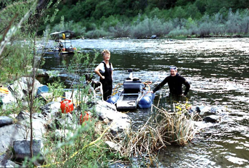
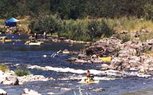
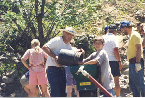
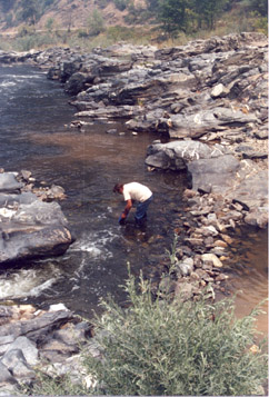
The Club sponsored a Group Dredging Project on this claim during a recent season. We did so well, that we followed up with another dredging project and struck high-grade at the upper-end of the claim.
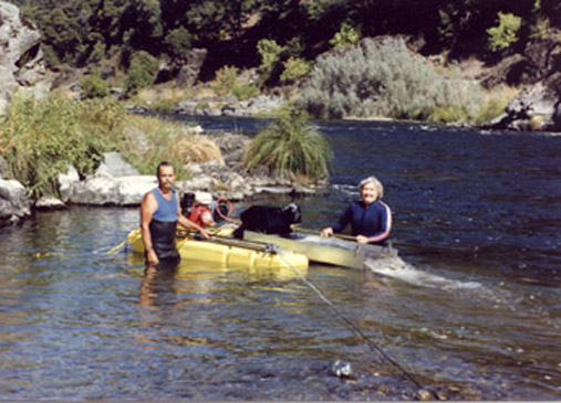
Dredging Gold with 24 people at K-14 & K-15A!
The Club then sponsored a Surface Mining Project on this claim. The high-banking was so good, that we followed up with another surface mining project and struck a high-banking production record at the top-end.
- Booming” in the Mega-Hole!
- Members Strike Gold & Adventure on New 49’er Properties!
- Recovering High-grade gold Along the Klamath River!
- We Made another Major High-banking Strike in the Mega Hole!
- Mining Gold at the Mega Hole with 86 Members!
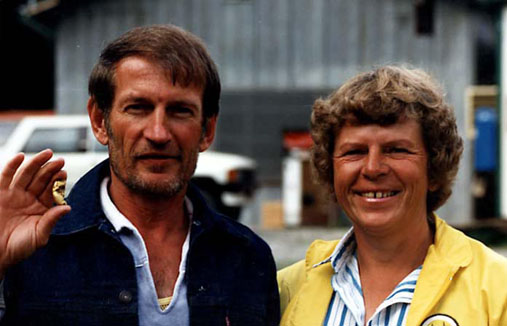
- Clarence and Cindy Kaiser
- Season is off to a Strong Start!


Upper Klamath :: Upper-mid Klamath :: Mid Klamath :: Lower Klamath
Elk Creek :: Indian Creek :: Scott River :: Thompson Creek
Salmon River Main Stem :: Salmon River North Fork
Master List of Mining Properties


