

Important note concerning Mining & Dredging Seasons on this Property
Google Earth Coordinates: 41 52’7.6″N 123 17’6.3″W
To view the content from the link above you will need to have Google Earth installed on your home computer. Download Google Earth
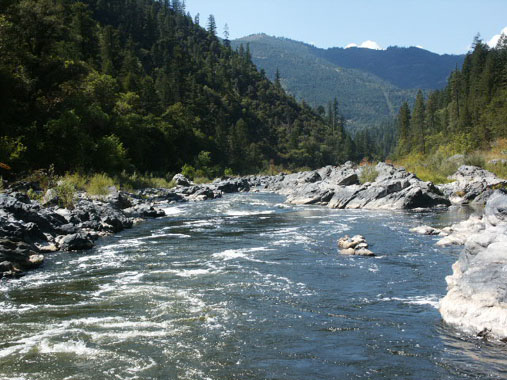
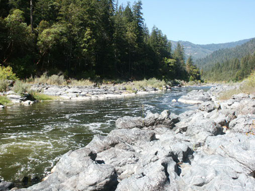
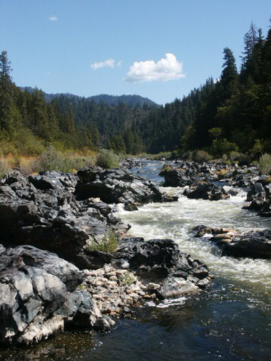
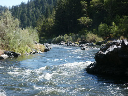
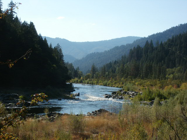
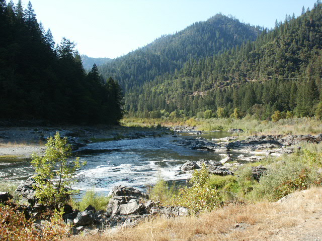
K-15 GLORY HOLE CLAIMS – The downriver boundary is located one mile upriver from the confluence of Thompson Creek. Tim’s Creek (mile marker 53.17) is the lower boundary of the Glory Hole Claims. The upper end of the Glory Hole Claim (mile marker 54.17) is located approximately one mile further upriver from Tim’s Creek, and adjoins the private property where the fenced garden is located between Highway 96 and the river. This fence marks the upper boundary of the Glory Hole, along with our boundary sign posted on a tree. K-15A (Mega-Hole) extends upriver from there. There are numerous developed paths and trails leading from Highway 96 into the Glory Hole Claims. All vehicle access to the claim is blocked by private property, although the access road to the upper end of the claim is open.
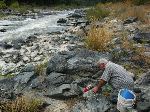
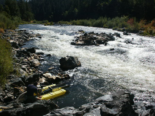
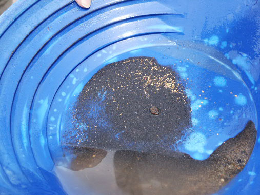
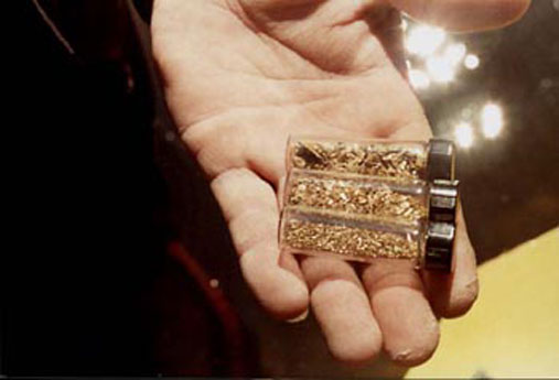
PROSPECTS:This is one of the richest claims owned by the Club, and has provided (estimated) hundreds of ounces of gold to members during past years. Much of the river has been dredged on these claims, and a large portion of the bank on the Highway 96-side of the river has been mined. The far bank remains relatively undisturbed because access requires a boat. Bedrock, or false bedrock, is generally shallow on these claims. A good portion of the lower claims has not been dredged yet. Therefore, it is likely that rich deposits still remain in place for the finding, both in the river, and all along the far bank. The rapids along the center of the claim have yet to be cleaned out, and offer excellent potential for experienced members.
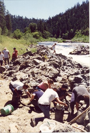
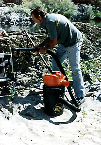
The Club sponsored a Group Dredging Project on this claim during the 2004 season.


Upper Klamath :: Upper-mid Klamath :: Mid Klamath :: Lower Klamath
Elk Creek :: Indian Creek :: Scott River :: Thompson Creek
Salmon River Main Stem :: Salmon River North Fork
Master List of Mining Properties


