

Important note concerning Mining & Dredging Seasons on this Property
Google Earth Coordinates: 41 52’43.0″N 122 33’18.0″W
To view the content from the link above you will need to have Google Earth installed on your home computer. Download Google Earth

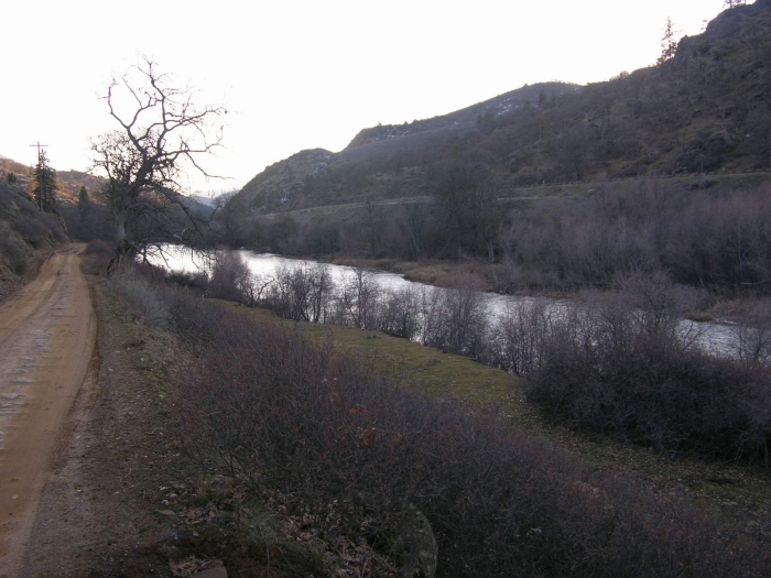
This property adjoins UK-3 at the lower-end. The upper boundary adjoins private property. Watch for our boundary sign on a tree next to Klamathon Road, near the fence which marks the private property (look for the sign which says “Tres Amigos”).
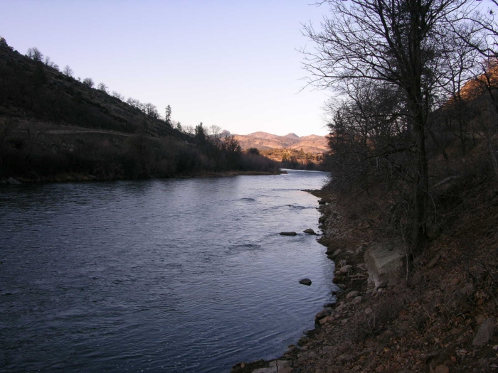
PROSPECTS: The prospects for high-grade gold deposits to be present on UK-3A are excellent. This is because all or most of the gold which Club members have been recovering from the other UK properties during the past 2 years has washed downriver directly across UK-3A. As high-grade gold deposits exist throughout the several-mile stretch of river just downstream, it is a near certainty that they will also exist on this new property.
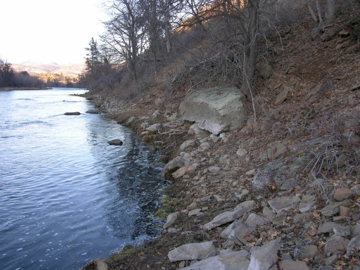
Recent large winter storms have made fresh cuts into original streambed along the edges of the river on this property. This indicates that the old-time miners overlooked the area, as they did along our other UK properties just downstream, where nearly the entire bottom of the river is virgin of earlier mining activity.
Aggressive sampling will be necessary to locate the rich gold deposits, because this stretch of river does not include any significant directional changes to help concentrate the main gold path along one side of the river or the other. There is a nice natural riffle (short section of faster water) at the top end of the property which should help create some pay-streaks.
Click on Thumbnail for larger image.

Upper Klamath :: Upper-mid Klamath :: Mid Klamath :: Lower Klamath
Elk Creek :: Indian Creek :: Scott River :: Thompson Creek
Salmon River Main Stem :: Salmon River North Fork
Master List of Mining Properties


