Important note concerning Mining & Dredging Seasons on this Property
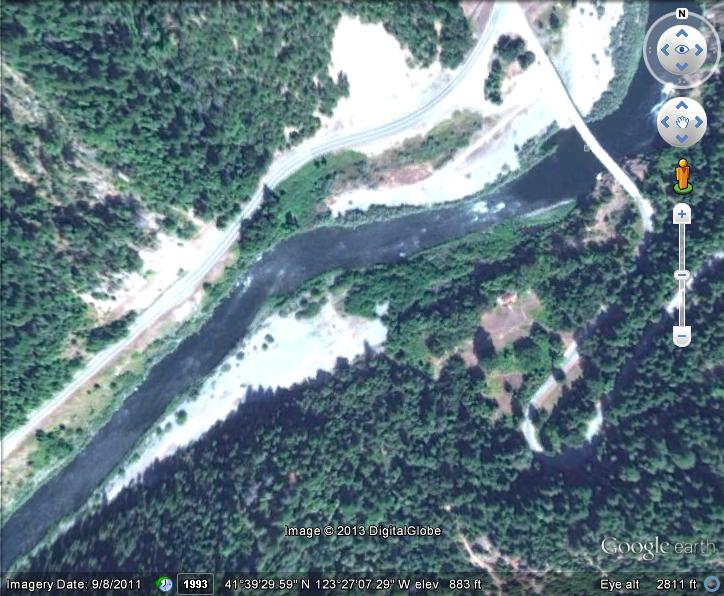
Google Earth Coordinates:
Upstream: 41°36’28.60″N 123°30’3.26″W
Downstream: 41°35’49.12″N 123°30’34.07″W
To view the content from the link above you will need to have Google Earth installed on your home computer. Download Google Earth

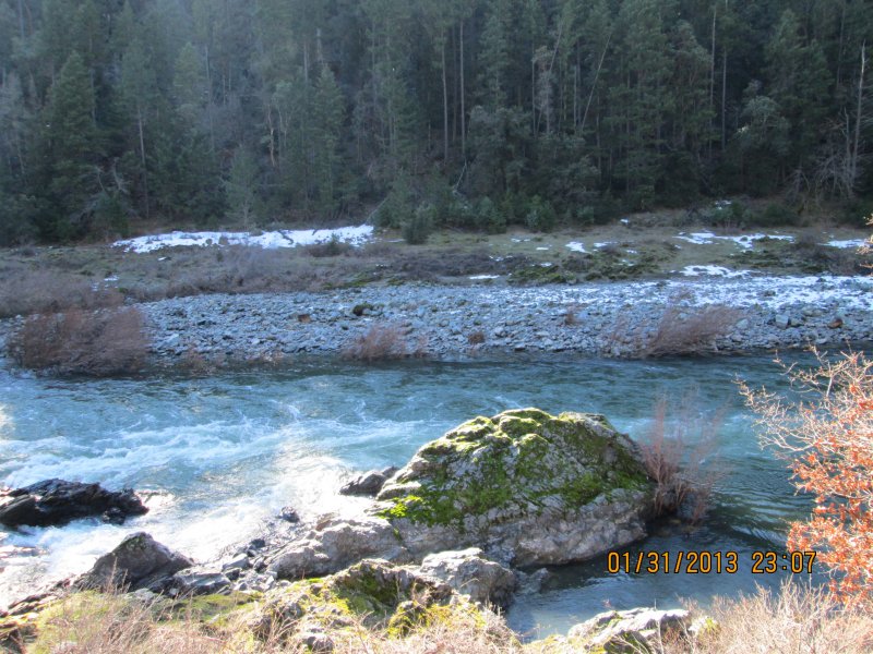
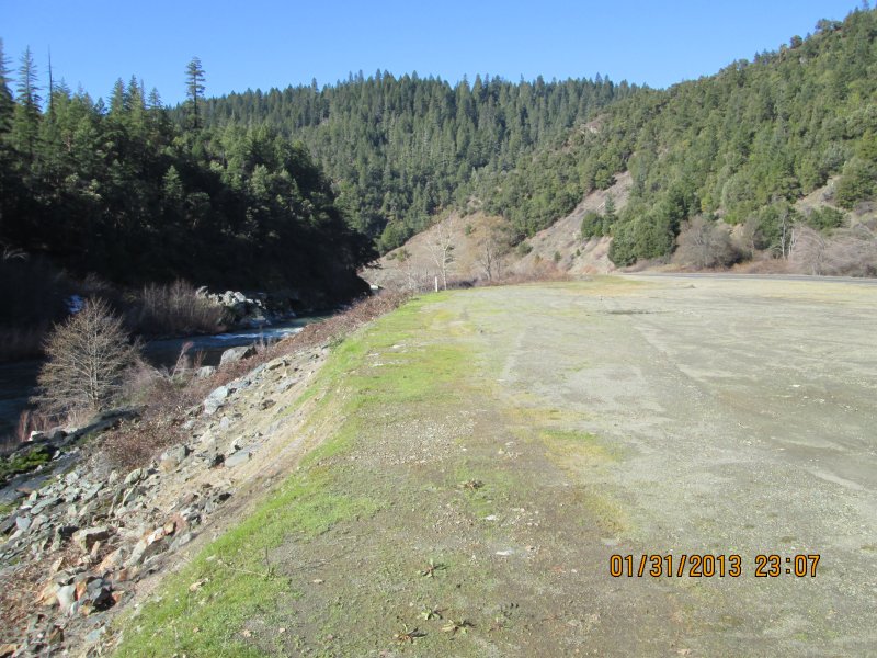
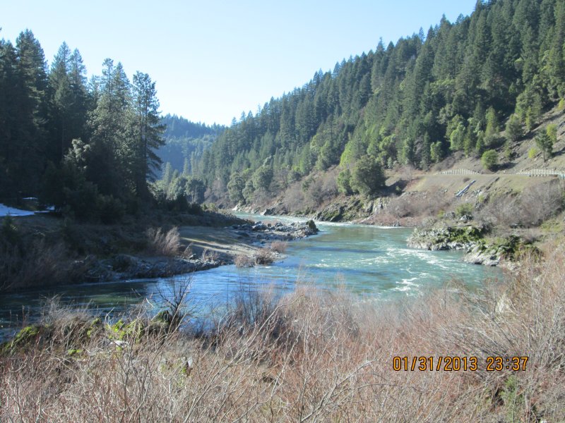
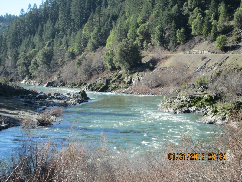
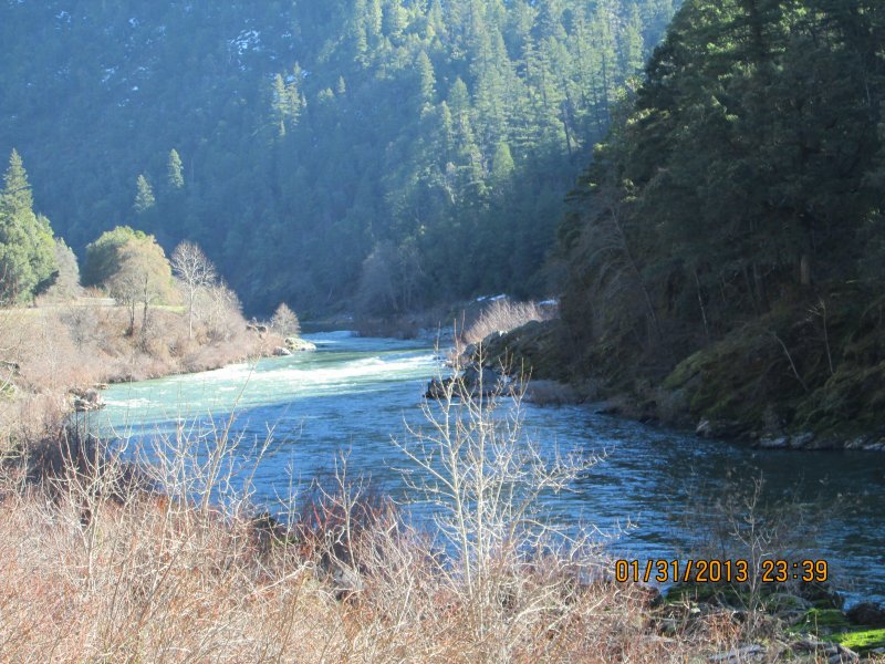
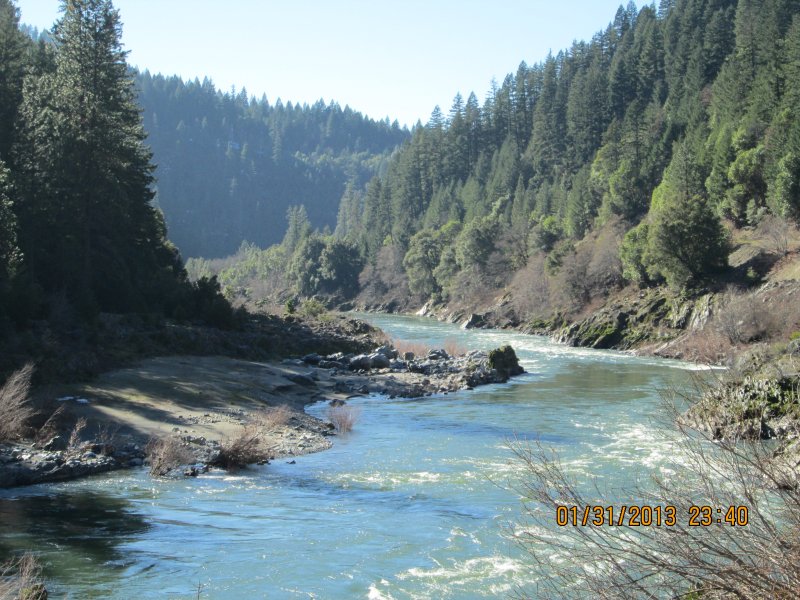
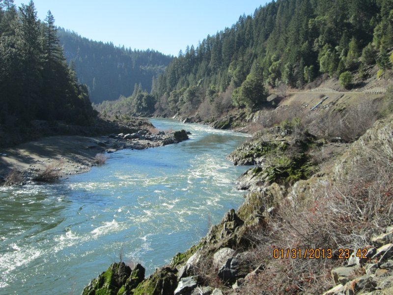
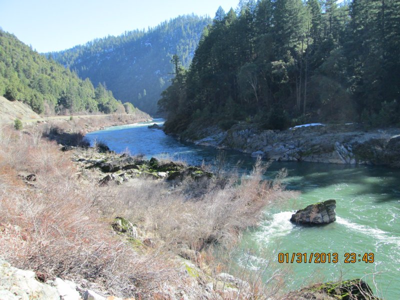
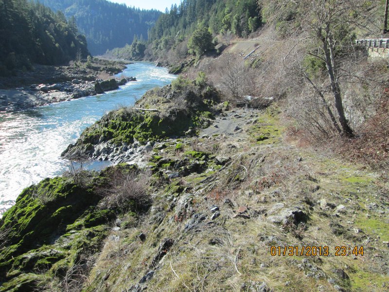
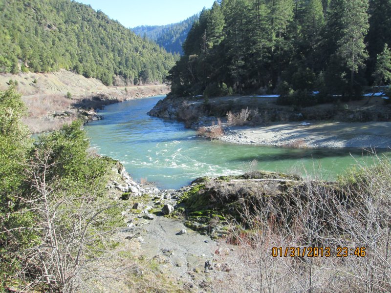
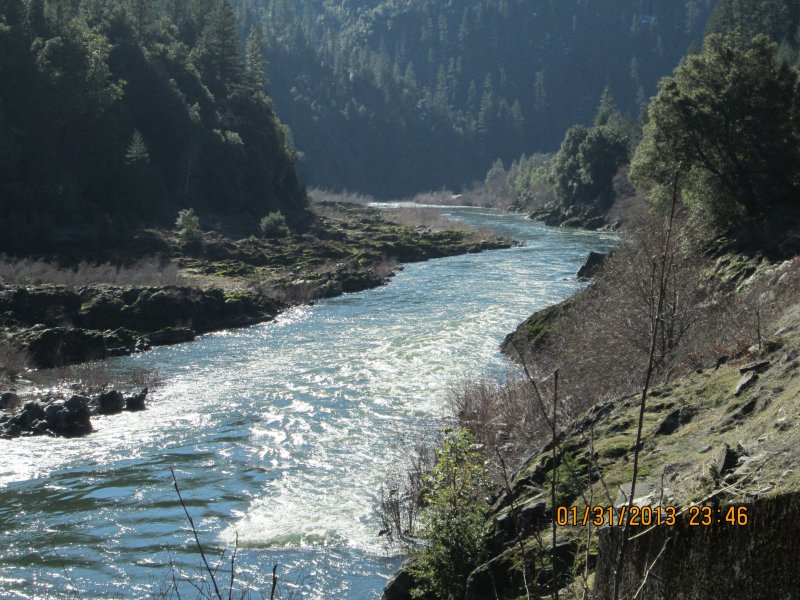
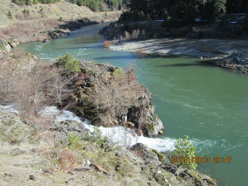
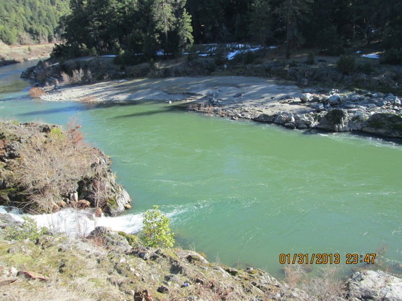
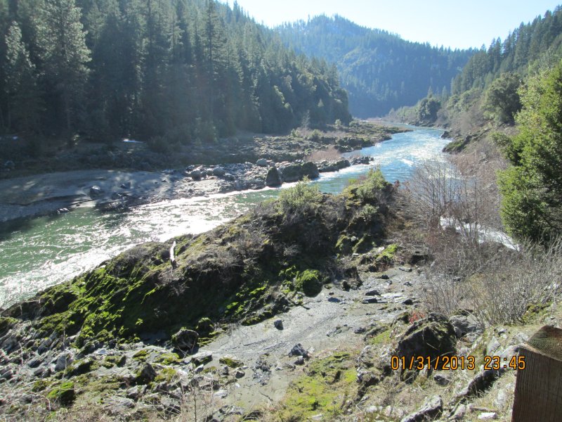
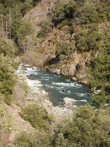
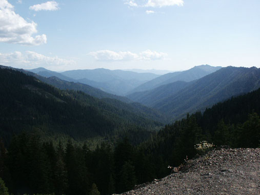
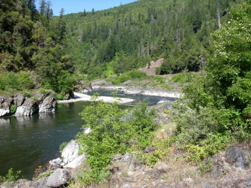
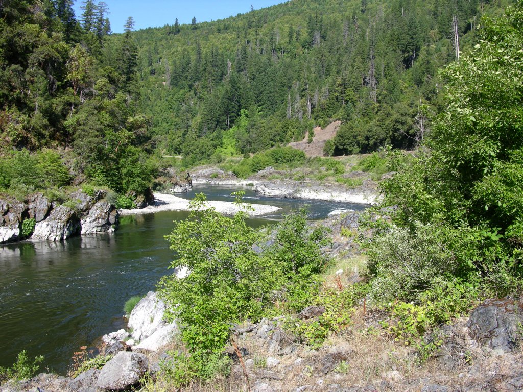
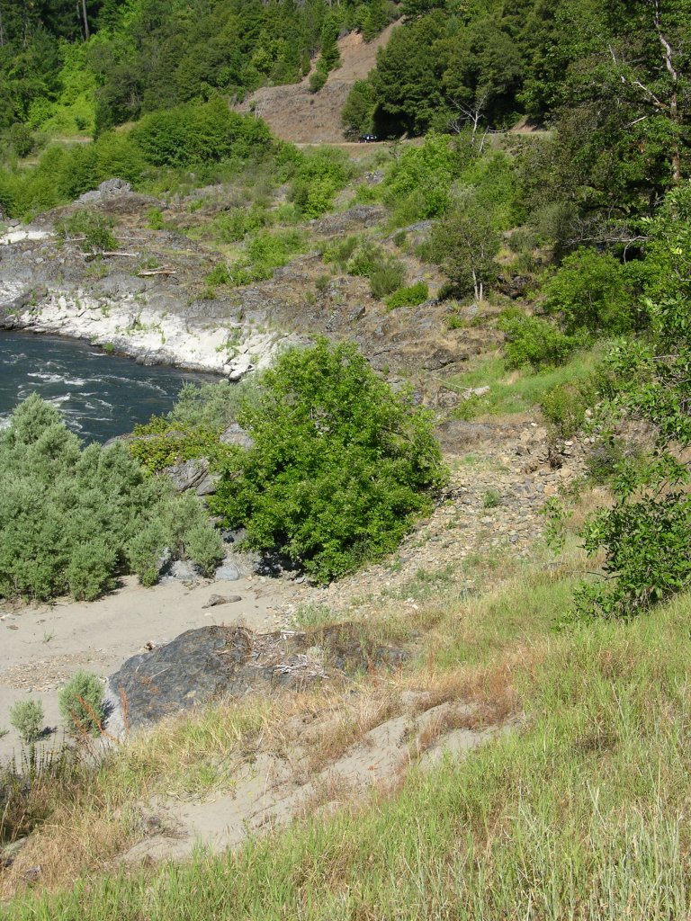
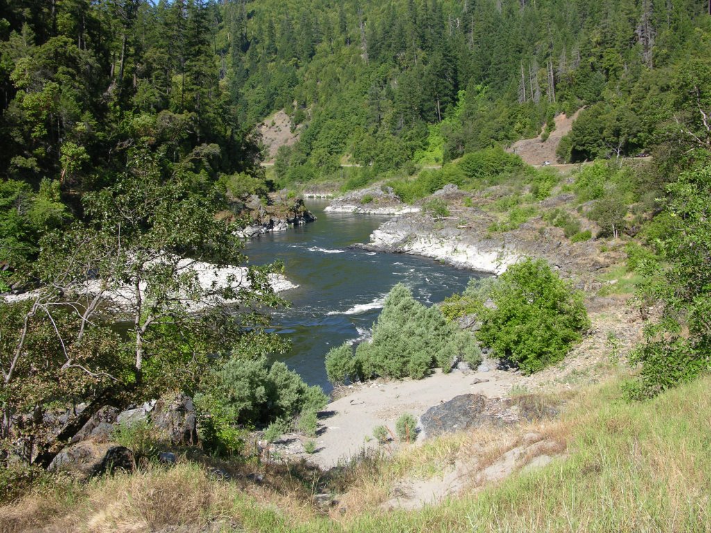
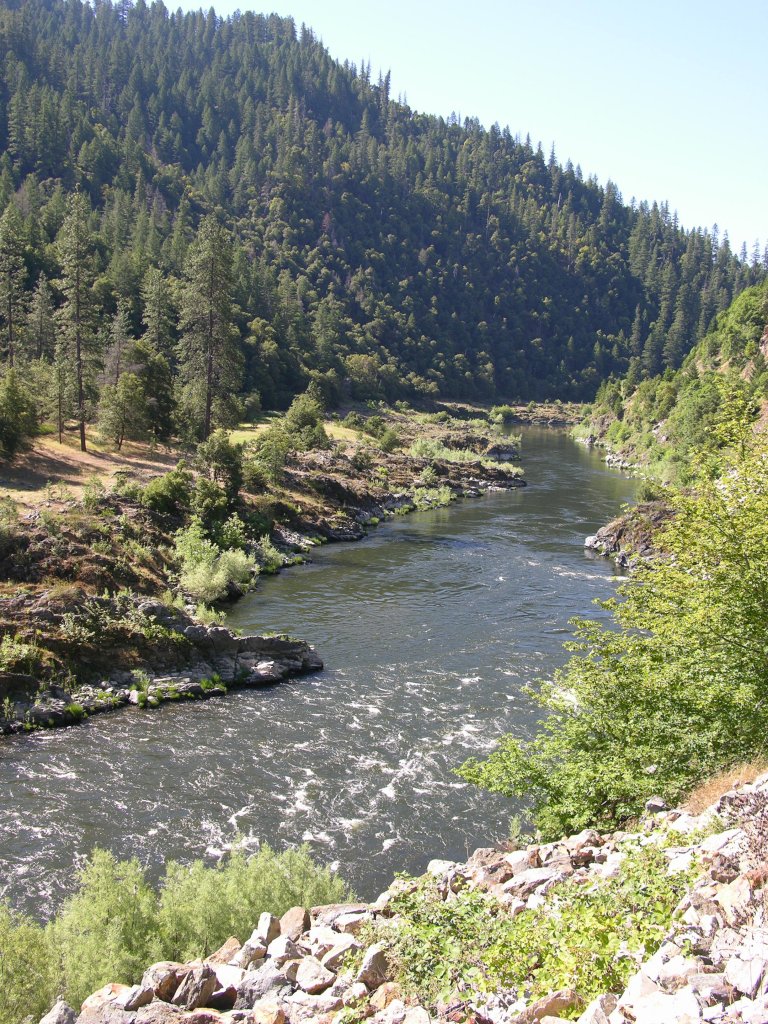
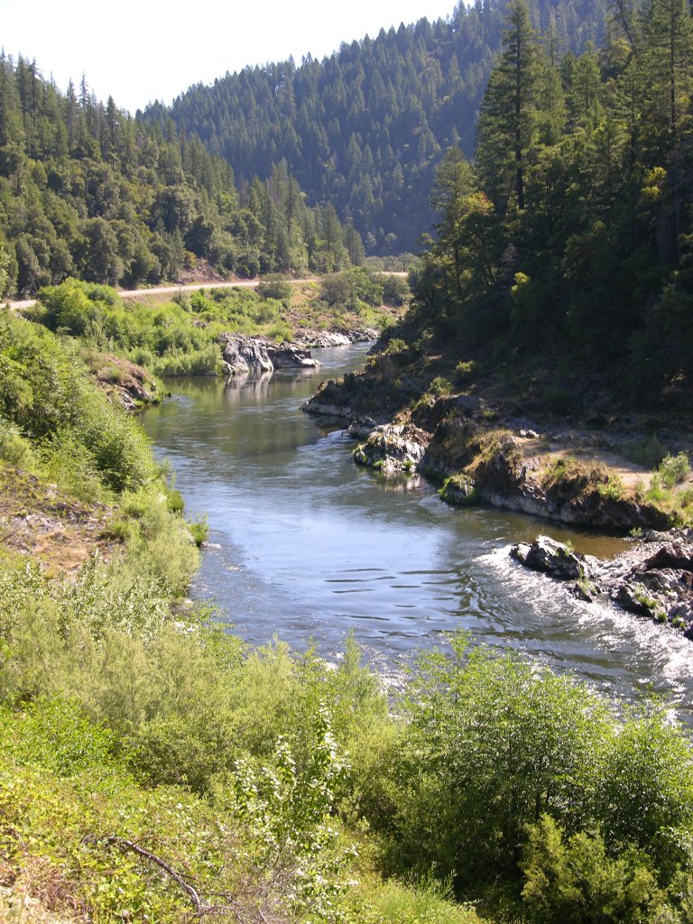
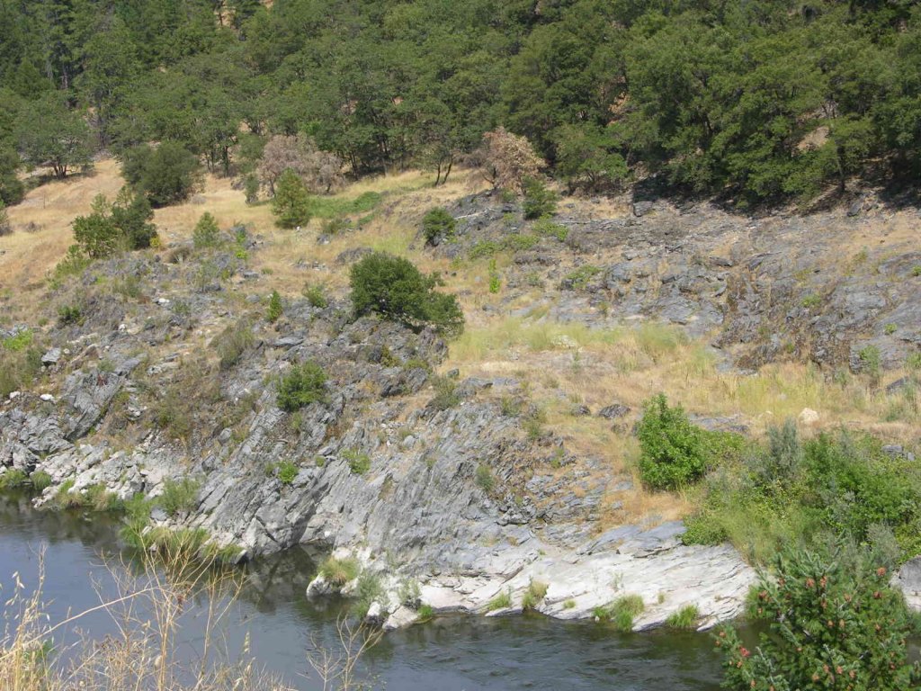
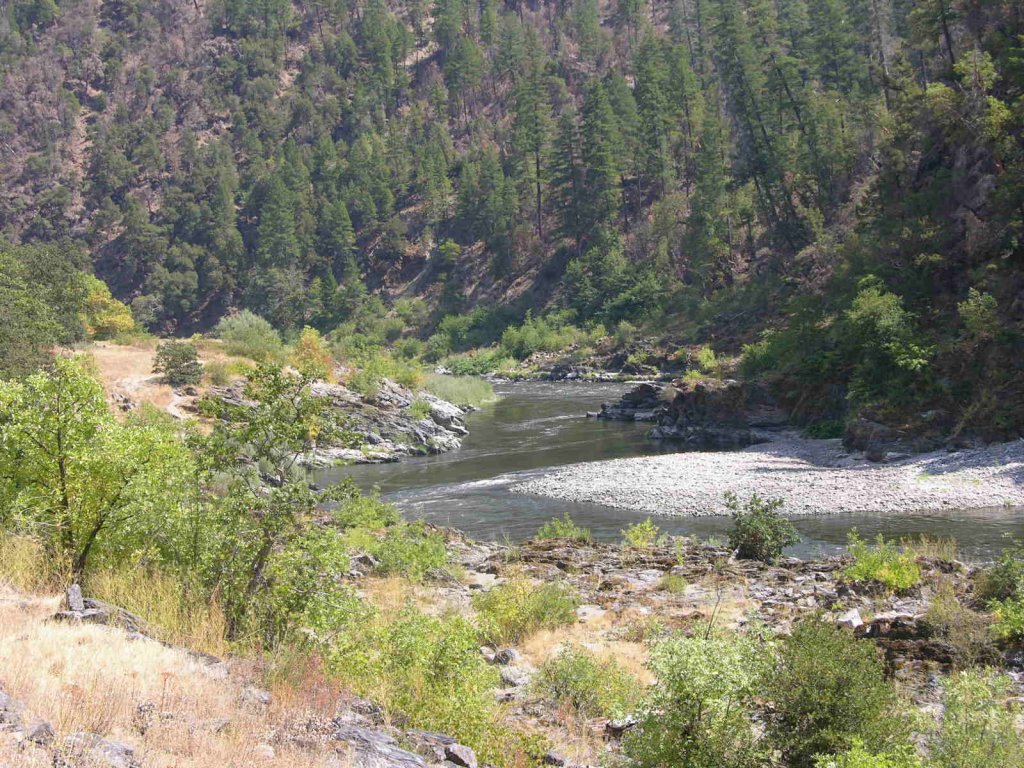
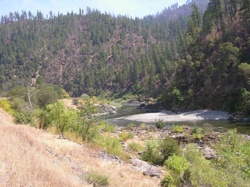
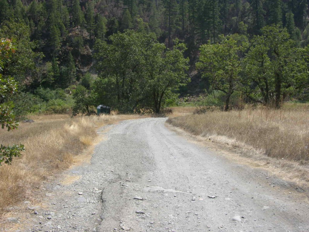
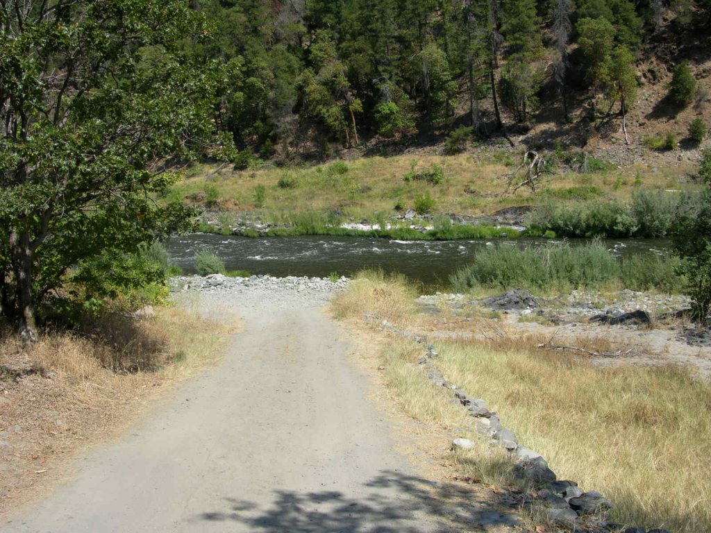
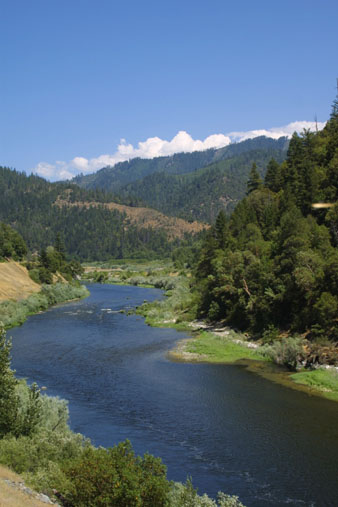
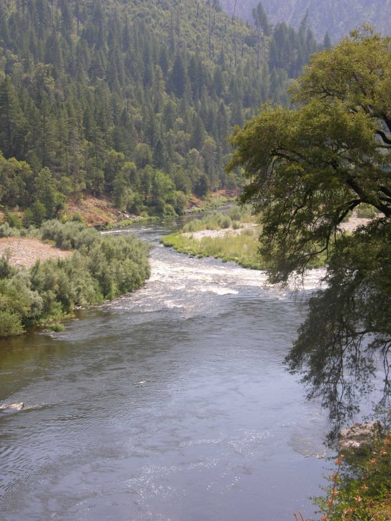
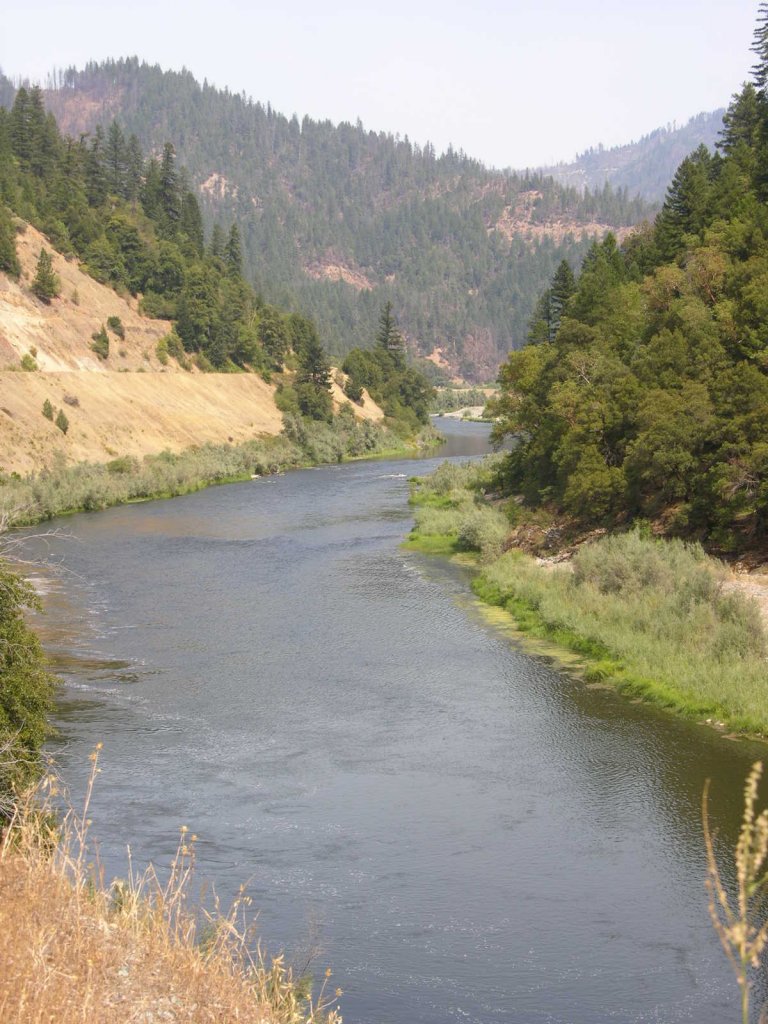
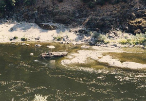
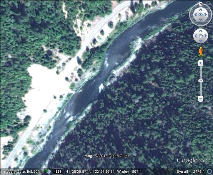
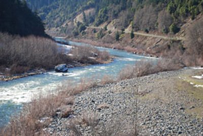
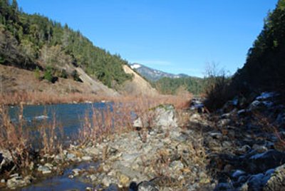
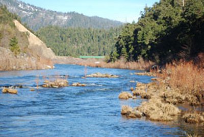
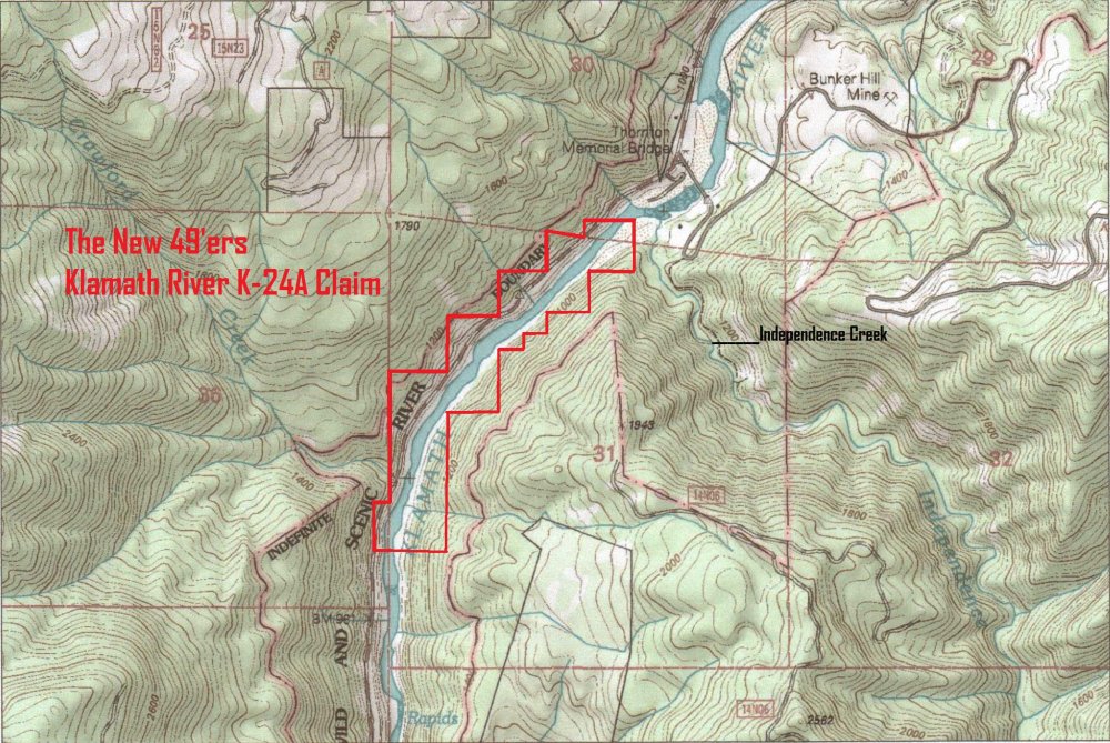
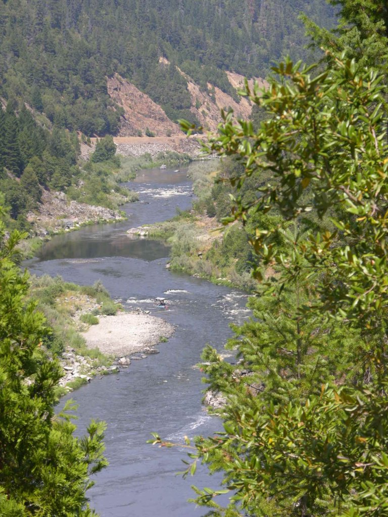
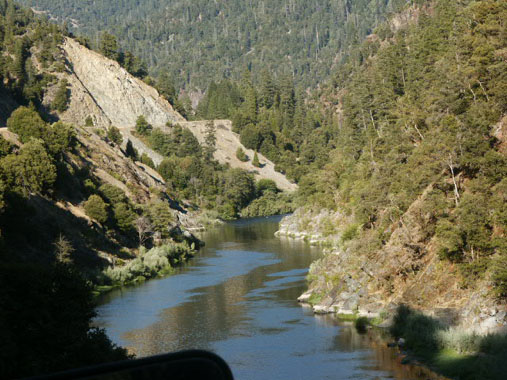
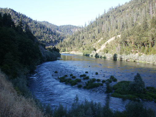
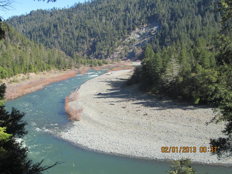
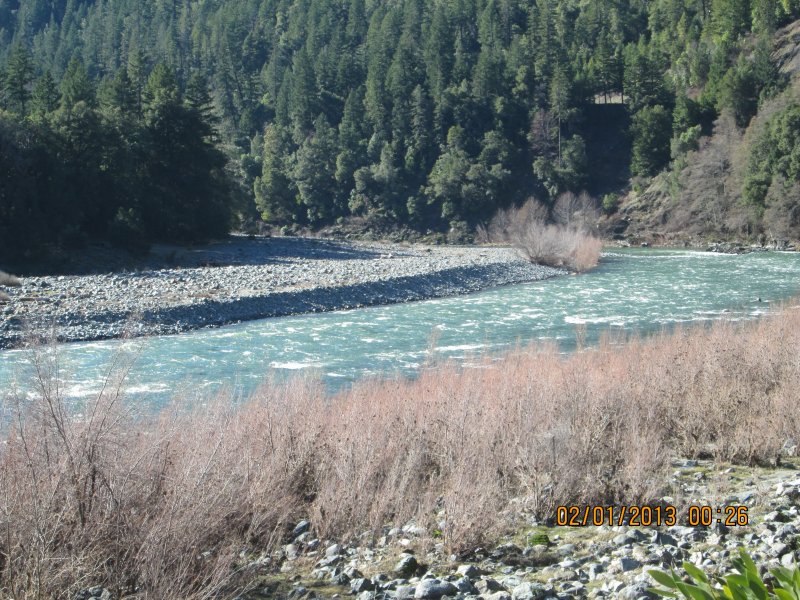
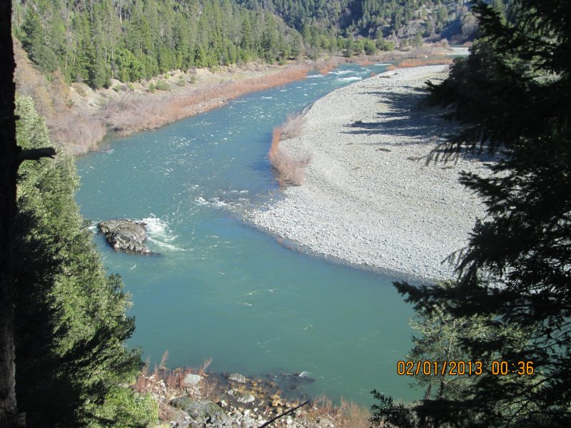
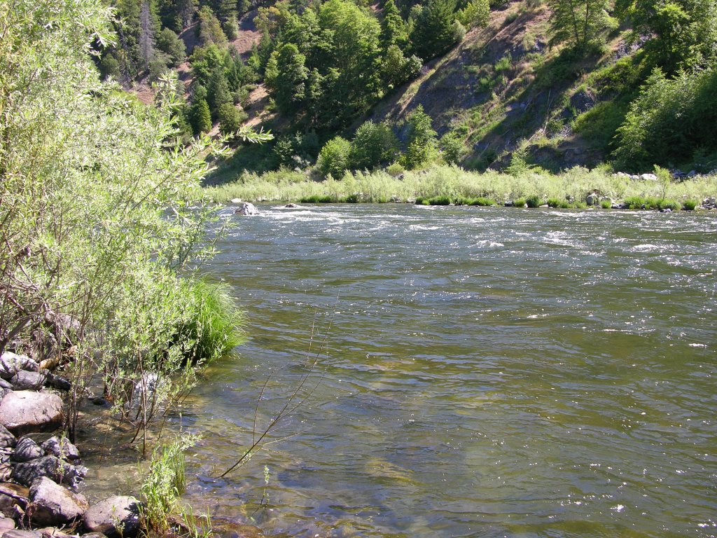
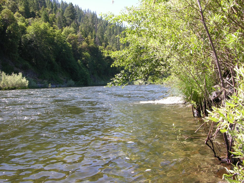
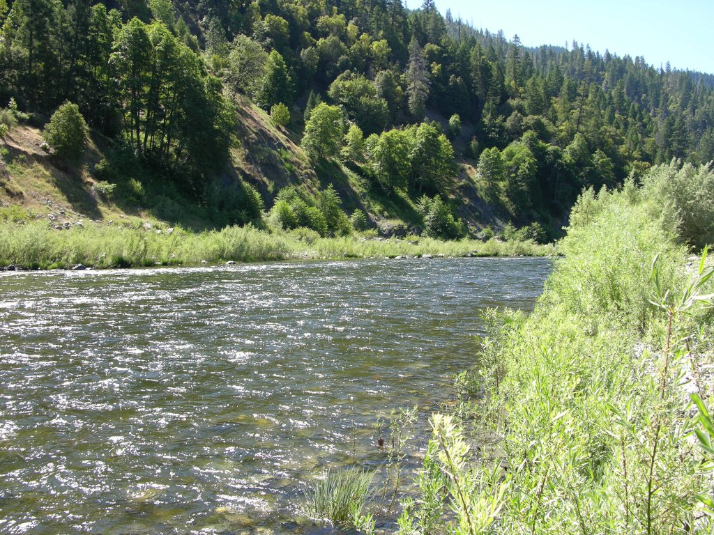
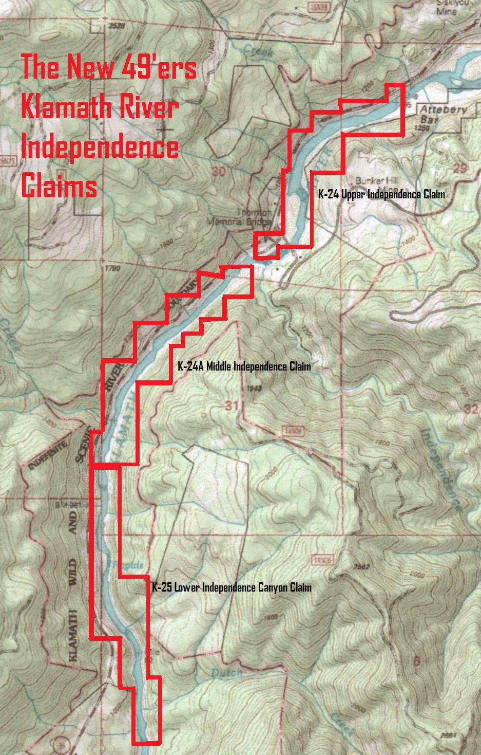
At long last, we have acquired the 1.7 mile stretch of Klamath River which connects our Coons Creek and Cottage Grove Properties. This is approximately twenty miles downriver from Happy Camp. This will now provide us with a continuous stretch of river that is more than 3.3 miles long. The lower boundary of K-25AB butts directly up against our Cottage Grove property at the access road near mile marker 21.93. The upper boundary butts up to the lower end of our Coons Creek property about 100 yards upstream from Swillup Creek near mile marker 23.41.
Here it is on Google Earth
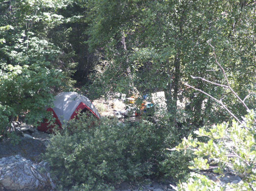
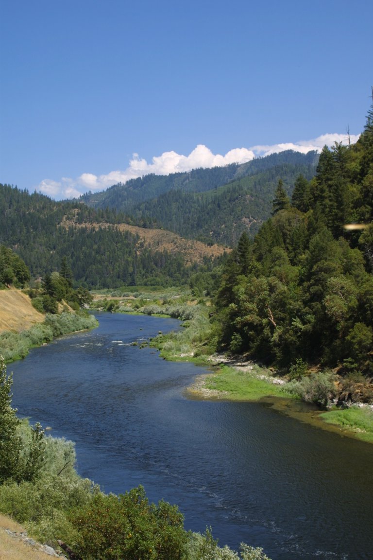
Important note: The upper portion of the river area on this property is landlocked by private property. Our mining claim takes in the river which flows around the private property. This is shown in this diagram on Google Earth. There is some kind of private fee camping area there that we don’t know anything about. You may be able to work something out with the owners. Otherwise, the upper portion of the claim will only be accessible by boat.
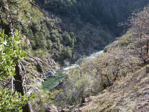
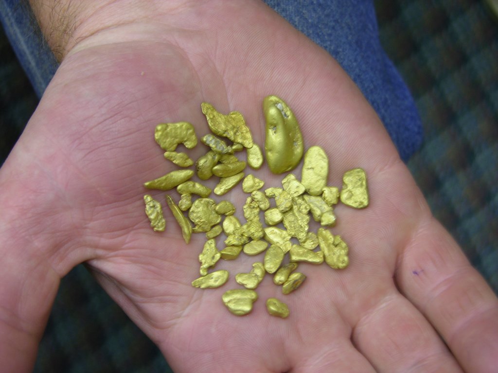
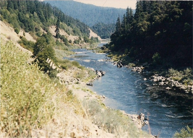
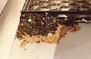
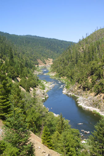
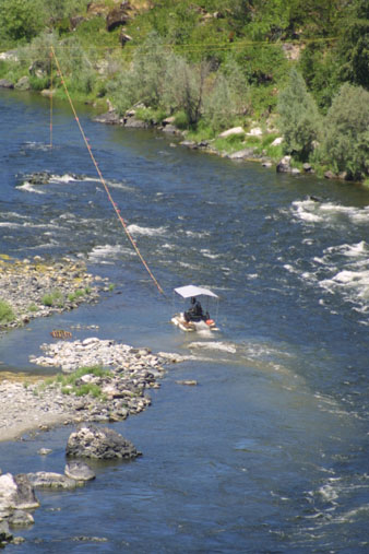
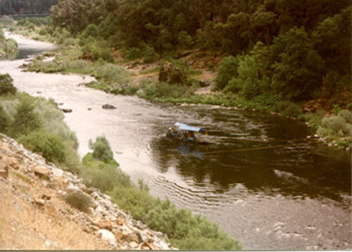
Note from Dave Mack: This is another area of the river where I personally have some early history dating back to 1984. In fact, this is the first place that I put a dredge into the Klamath River. I had five or six of my very first students with me, and I was going to show them how to sample. We started in an area just downstream of the huge bar on the upper half of the claim (towards the upper end of the river in the image above). Digging a small hole on the edge of the river exposed cemented gravel inside of a bedrock crack. It took us a while; but we picked the hard material out of the crack and found nuggets and chips of gold on the bedrock. But the going was very slow, so we turned our attention to the river.
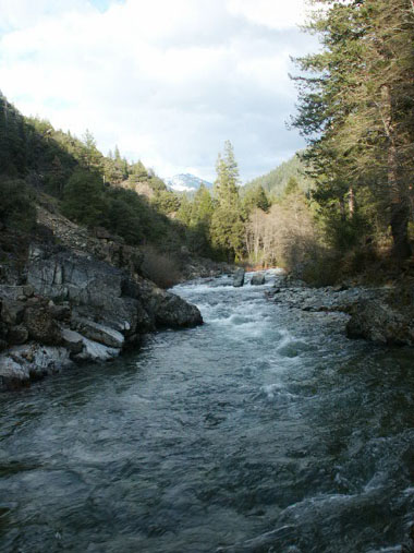
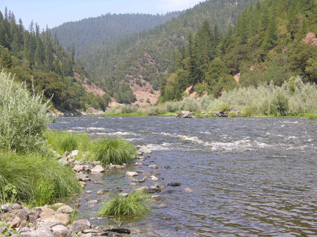
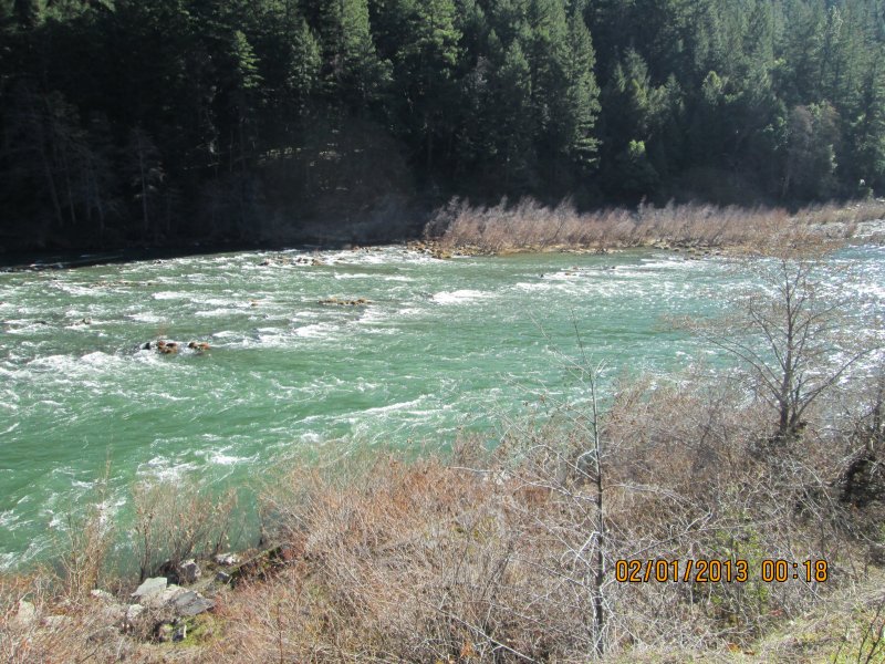
Floating my 5-inch dredge just out into the river, we started a sample hole between the bank and a section of faster water. I was used to the much smaller and tamer Trinity River; and frankly, I remember being overwhelmed by the size, depth and ferocity of the Klamath. The boulders were larger than I was used to; there seemed to be no bottom to the streambed material, and the river was so wide compared to what I was used to, it felt like we were just an ineffective needle in a haystack. There was also a nagging feeling in me that there was not going to be much gold in the Klamath River. We didn’t have enough experience there to know any better, yet.
The key moment was when I considered pushing on out to the edge of the fast water towards the middle of the river. I crawled out there underwater and took a look. The water was faster and deeper out there, but I could have done the sample, and it looked like I could get to bedrock in that place. I remember deciding there was not going to be any gold out there. These are the exact decisions we make that change our fate forever! Had I done that sample, I cannot even imagine how differently the world would have gone. In fact, I might not even be writing this newsletter right now! This was a good lesson, amongst many others over the years, why you should not give up hope too quickly.
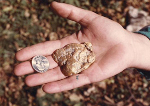
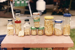
One of my students offered to buy the claim. He was excited that we found gold nuggets so easily along the edge of the river (under the cemented gravel). It was actually a group of ten claims. Having acquired plenty of other claims, and always in need of financial capital, I decided to sell him that stretch of river. That guy was a good student! After he finished my class, he went out and dredged the sample I neglected to do further out in the river. He struck it rich within the first hour! He ultimately dredged hundreds of ounces of gold from that single location! Selling those claims was something I have regretted doing ever since.
Unfortunately, my ex-student died of a heart attack shortly thereafter, and the property has been held in private hands ever since. The owners have refused to allow any outsiders to access the property. To my knowledge, no mining or prospecting has been done on this extensive property beyond the original strike. I have been waiting patiently to reacquire the long stretch of river for the past 30 years. Now we have it!
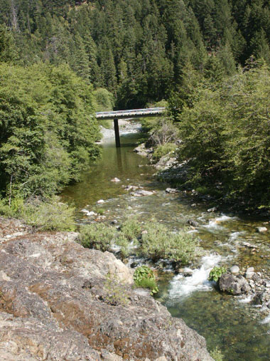
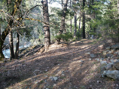
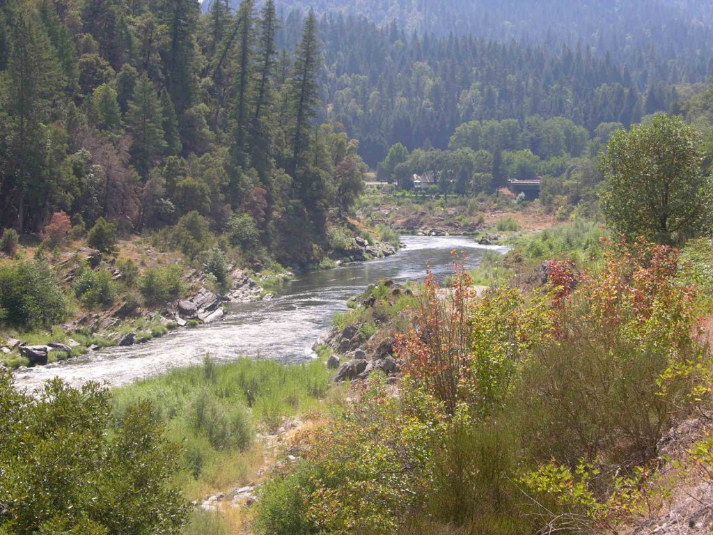
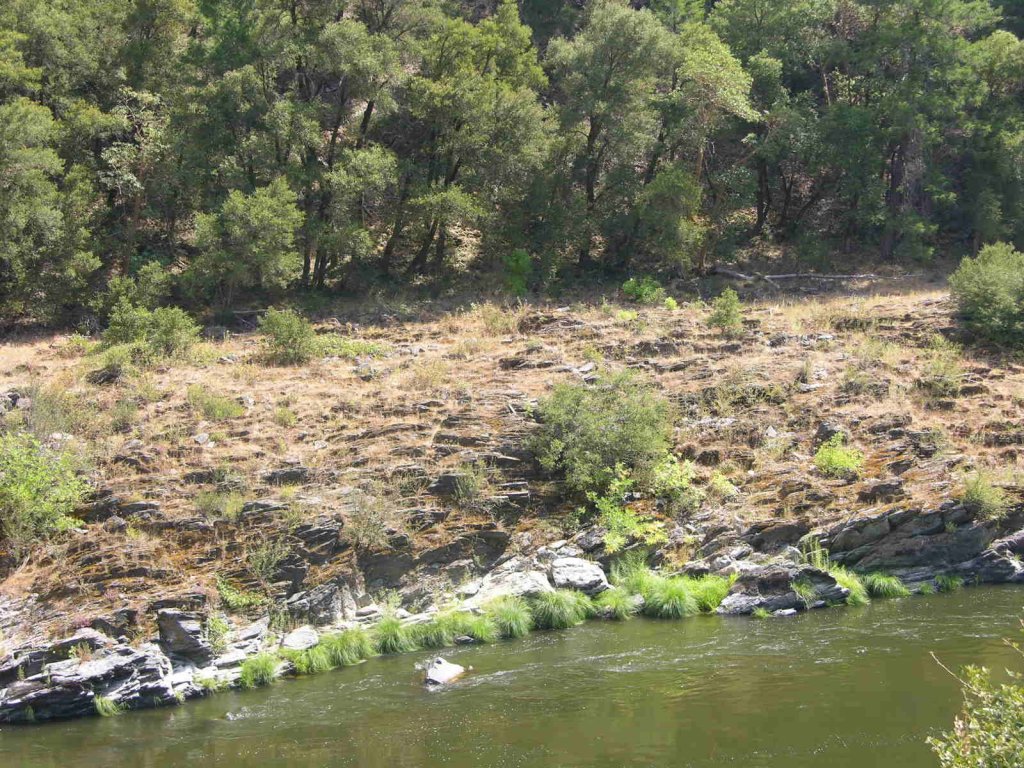
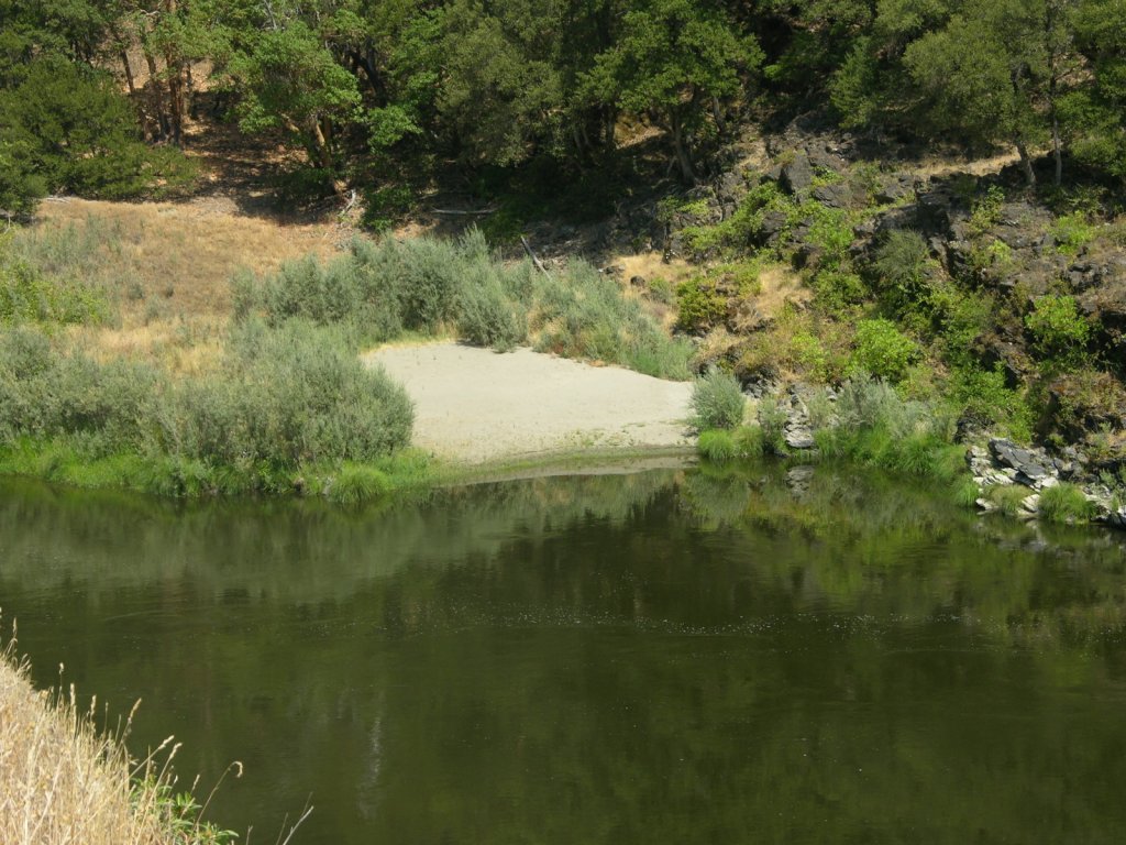
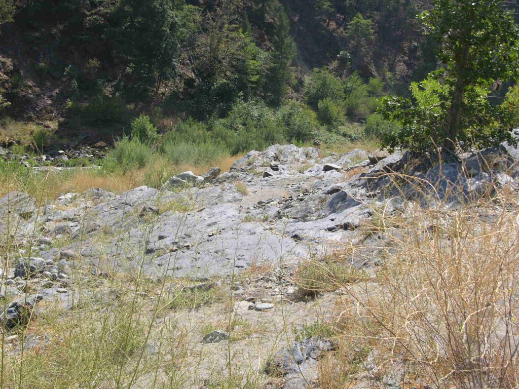
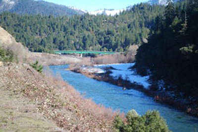
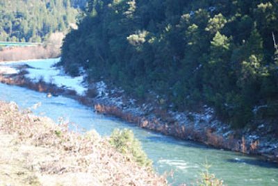
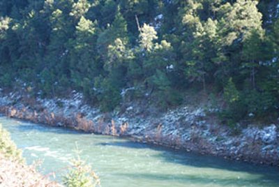
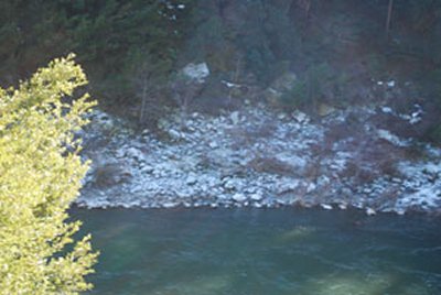
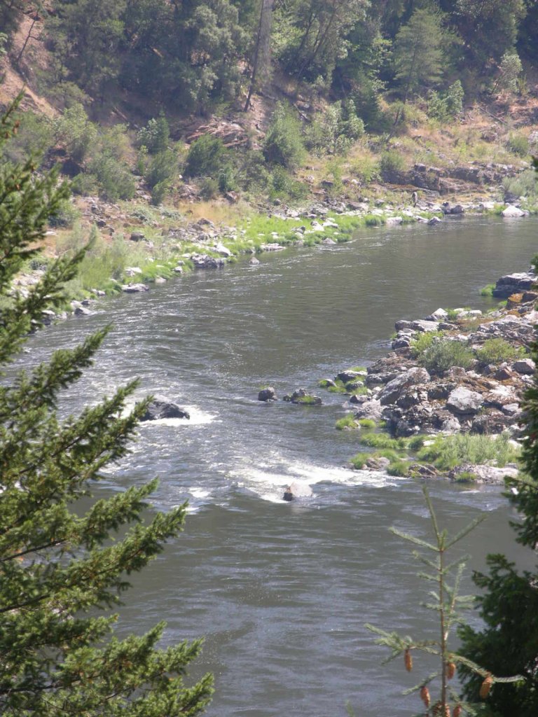
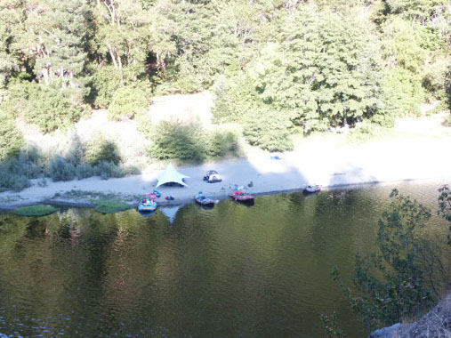
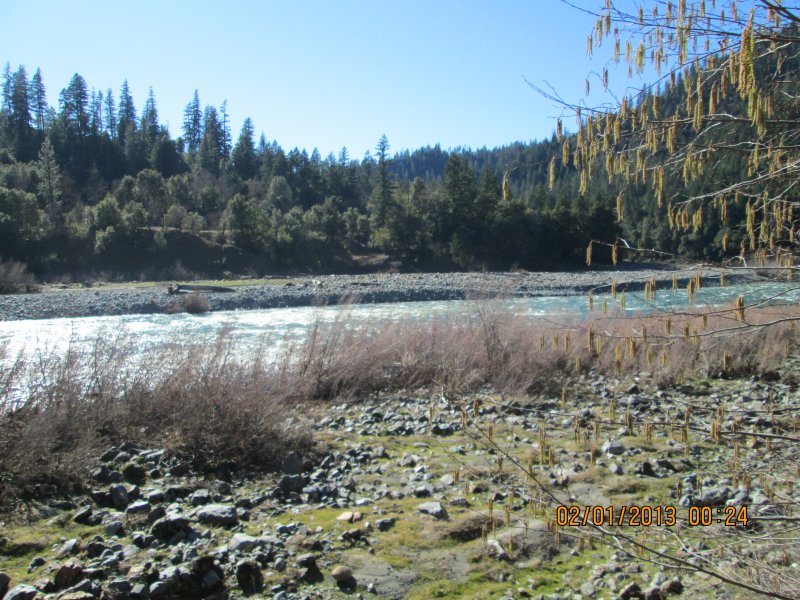
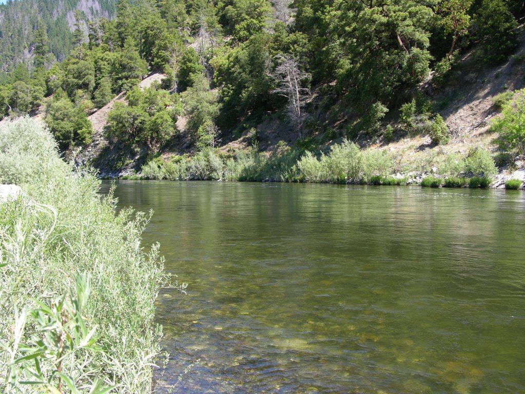
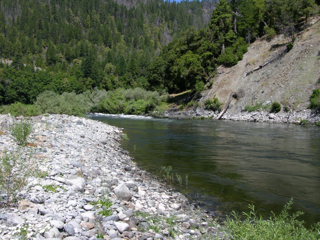
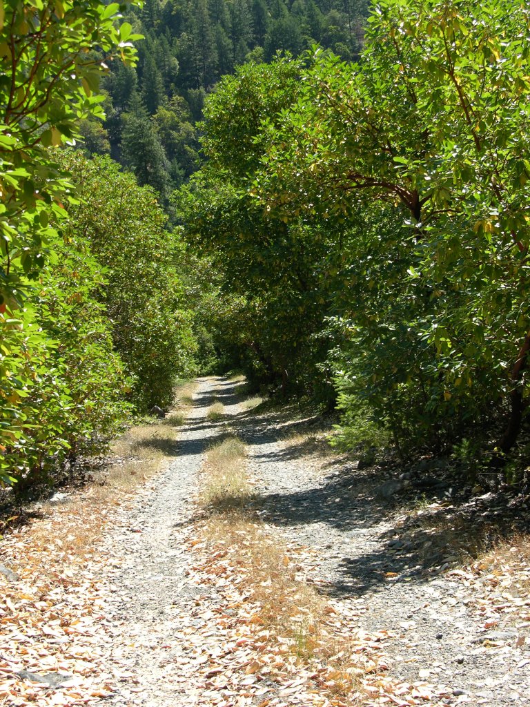
PROSPECTS: Besides the extensive underwater suction mining opportunity remaining on this property, there is also enough surface mining potential on both sides of the river to keep our members busy for the rest of our days. This is a huge property! There are extensive ancient hydraulic workings on the far side of the river which take up the lower half of the property. There may be some really good electronic prospecting opportunity over there!
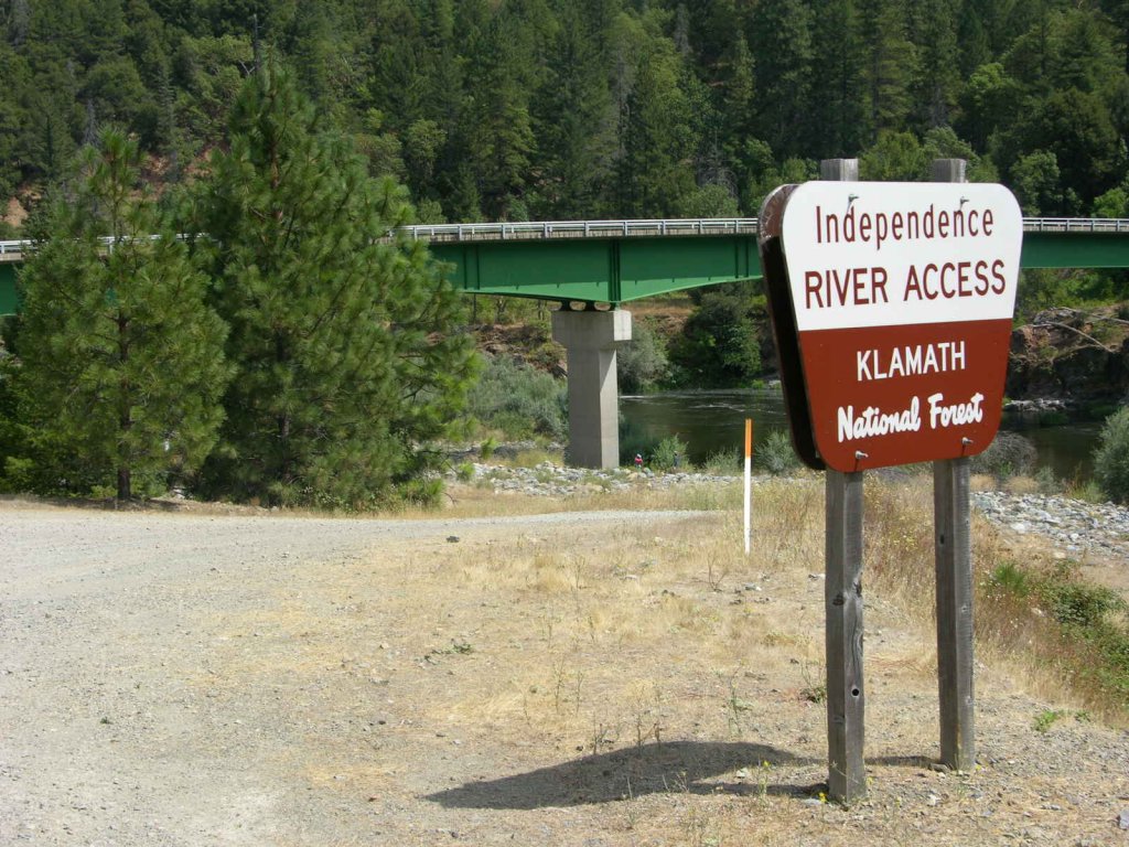
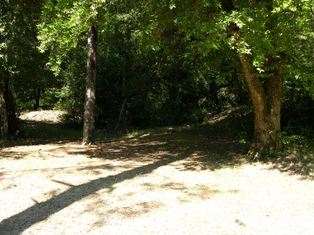
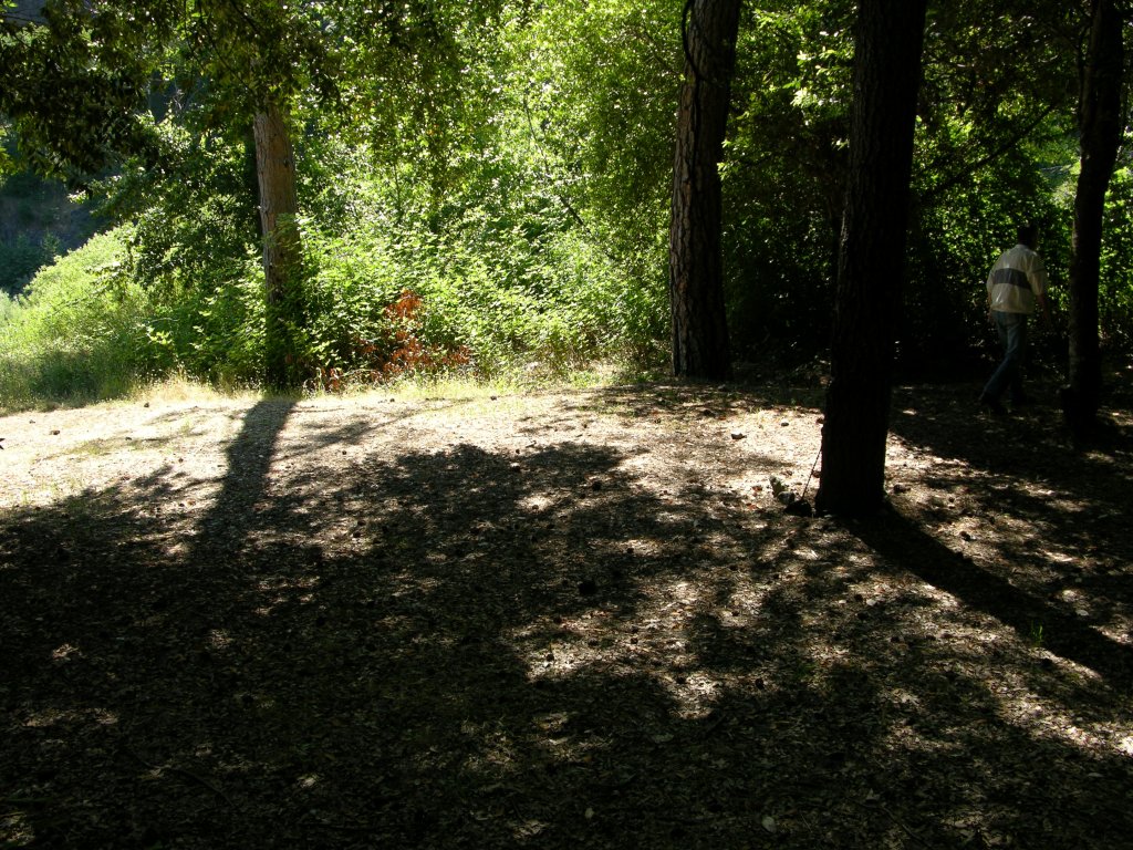
Click on thumbnail for larger image.


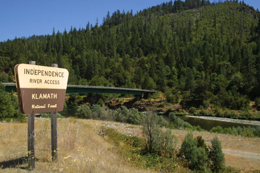

![Dscn78931[1]](http://www.goldgold.com/wp-content/uploads/2013/01/Dscn789311.jpg)
![Dscn78941[1]](http://www.goldgold.com/wp-content/uploads/2013/01/Dscn789411.jpg)


