

Important note concerning Mining & Dredging Seasons on this Property
Google Earth Coordinates: 41 36’46.6″N 123 29’49.3″W
To view the content from the link above you will need to have Google Earth installed on your home computer. Download Google Earth
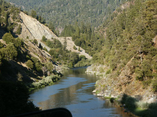
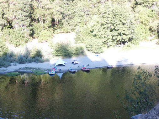
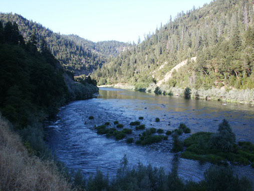
K-25A – COONS CREEK CLAIM – This is the lower portion of the canyon that begins up on K-25. It butts up to our K-25AB property downstream. The lower boundary sign (mile marker 23.41) is posted on a tree alongside Highway 96 about 100 yards from the bridge that crosses Swillup Creek. A short distance upriver is the USFS Coon Creek river access (mile marker 23.85) (toilet during summer months). Because the access receives a lot of use from rafters, the Forest Service has asked us not to park or camp down on the river access road. A camping area does exist on the other side of the river there. There is also a small camping area just downriver from the river access, up into Coon Creek on a short dead-end road (at mile marker 23.68). The upper claim boundary (mile marker 24.56) is marked alongside the river across from the confluence of Ukonom Creek – or just up river from the road-side picnic area along Highway 96 (mile marker 24.44).
Check it out on Google Earth.
IMPORTANT NOTE: Between June 15 and October 15, there will be no dredging within 500 feet upstream and 2000 feet downstream of the mouth of Ukonom Creek. This is an inaccessible area (deep canyon) of rapids at the upper end of our K-25A claim. During the same time periods, there is also no dredging within 500 feet of the mouths of Coon and Swillup Creeks.
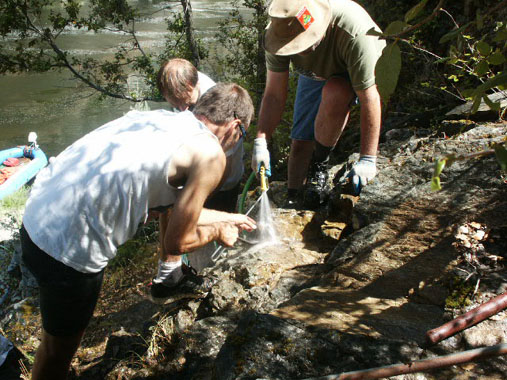
PROSPECTS: Gold has been found on the lower end of the claim, with the adjoining claims below Swillup Creek producing rich dredging deposits, as well. Members have been boating up into the canyon from the Coon Creek river access, and doing exceptionally well on the far bank using gold pans and vack-mining equipment. They are finding the gold along the exposed bedrock well up the hillside away from the river.


Upper Klamath :: Upper-mid Klamath :: Mid Klamath :: Lower Klamath
Elk Creek :: Indian Creek :: Scott River :: Thompson Creek
Salmon River Main Stem :: Salmon River North Fork
Master List of Mining Properties


