

Important note concerning Mining & Dredging Seasons on this Property
Google Earth Coordinates: 41 18’56.6″N 123 11’0.7″W
To view the content from the link above you will need to have Google Earth installed on your home computer. Download Google Earth

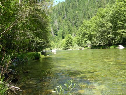
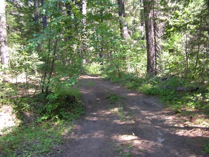
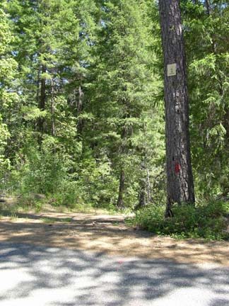
SAN-3A The lower-end of this claim is located 10.6 miles upriver from Forks of the Salmon. Look for a U.S. Forest Service sign that says “Garden Gulch Trail.” Club signs are posted on trees along the river-side of the Salmon River Road. There is an access road located around 1/10th of a mile down river from our lower boundary. Watch for the access sign on a tree. The access road leads to our claim and a nice camping area. The claim is about a ¼-mile long, and includes a lot of river diversity such as rapids and pools.


Upper Klamath :: Upper-mid Klamath :: Mid Klamath :: Lower Klamath
Elk Creek :: Indian Creek :: Scott River :: Thompson Creek
Salmon River Main Stem :: Salmon River North Fork
Master List of Mining Properties


