

Important note concerning Mining & Dredging Seasons on this Property
Google Earth Coordinates: 41 15’37.1″N 123 19’10.4″W
To view the content from the link above you will need to have Google Earth installed on your home computer. Download Google Earth
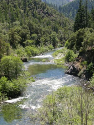
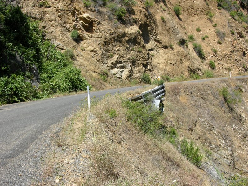
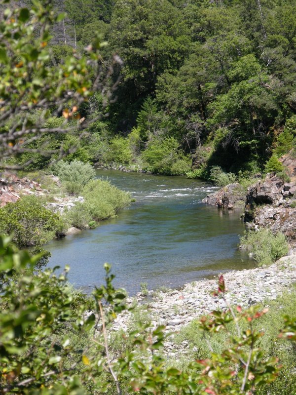
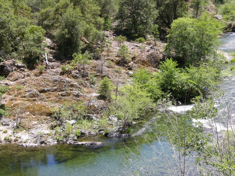
SAN-1 This claim is located just upriver from Forks of the Salmon. Look for our lower boundary sign on a tree just upriver from the post office. The upper boundary is located around 100 yards downstream from the first house on the left as you drive upriver from the Forks. Look for a gulch on the left, where a culvert passes under the road. That is the upper boundary. The claim is around 3/10ths of a mile long. Access is rather limited, but there are some areas where a person can get down to the river. There are some very nice pools and riffles along the claim, with lots of exposed bedrock, on the far side of the river. Please be careful not to park in any way that could obstruct traffic on the main road.

Upper Klamath :: Upper-mid Klamath :: Mid Klamath :: Lower Klamath
Elk Creek :: Indian Creek :: Scott River :: Thompson Creek
Salmon River Main Stem :: Salmon River North Fork
Master List of Mining Properties


