

Important note concerning Mining & Dredging Seasons on this Property
Google Earth Coordinates: 41°34’51.01″N, 123°32’8.76″W
To view the content from the link above you will need to have Google Earth installed on your home computer. Download Google Earth
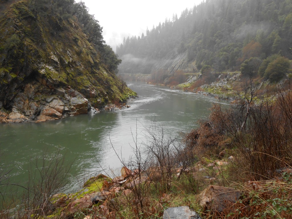
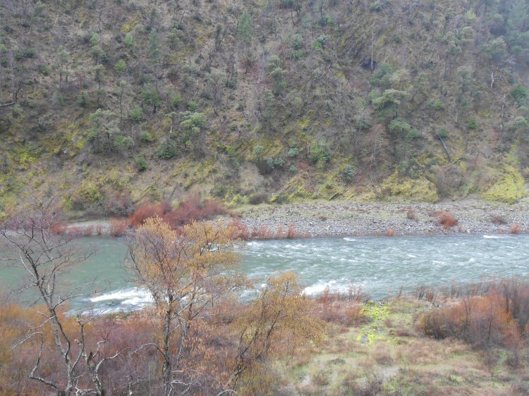
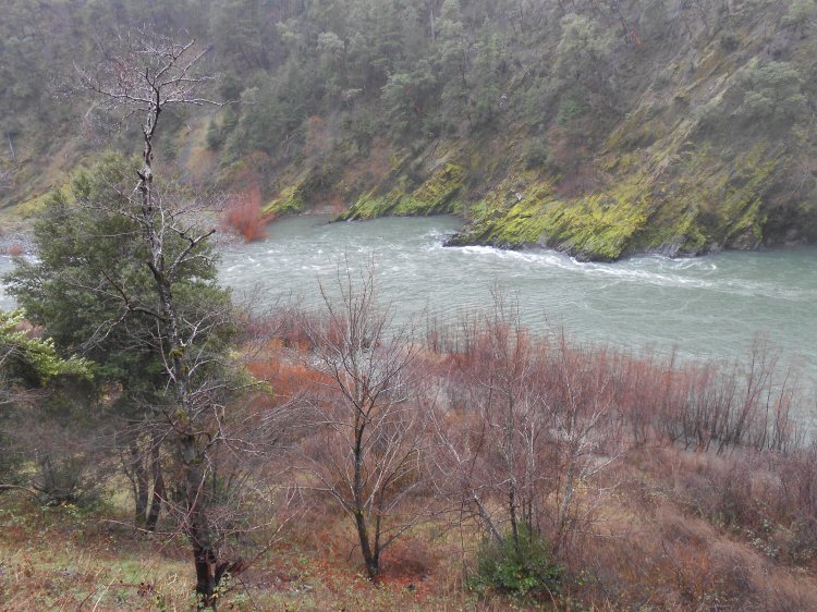
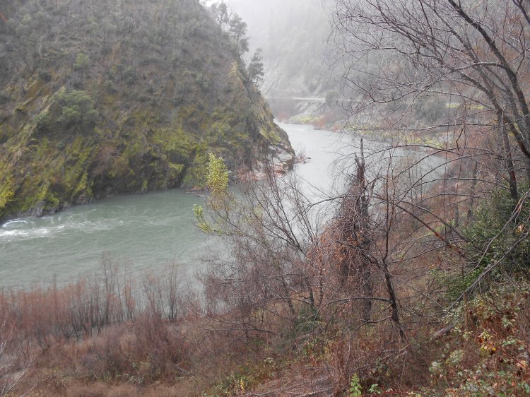
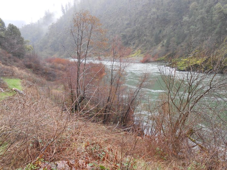
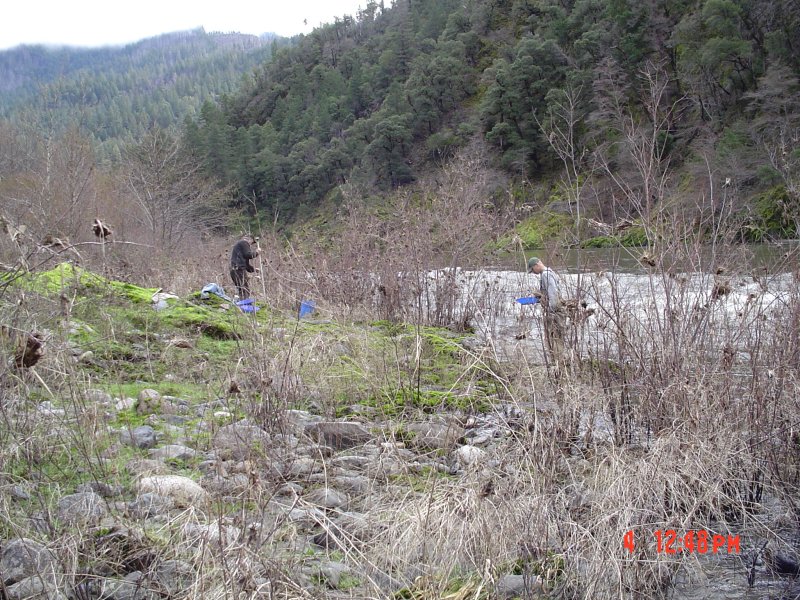
K-26 Three Creeks Gold Claim is located 20.4 miles downriver from Happy Camp, or about a quarter-mile upriver from the USFS Dillon Creek Campground. The property takes in just under a half-mile of the Klamath River. The upriver boundary can be found at Highway 96 mile marker 20.06.
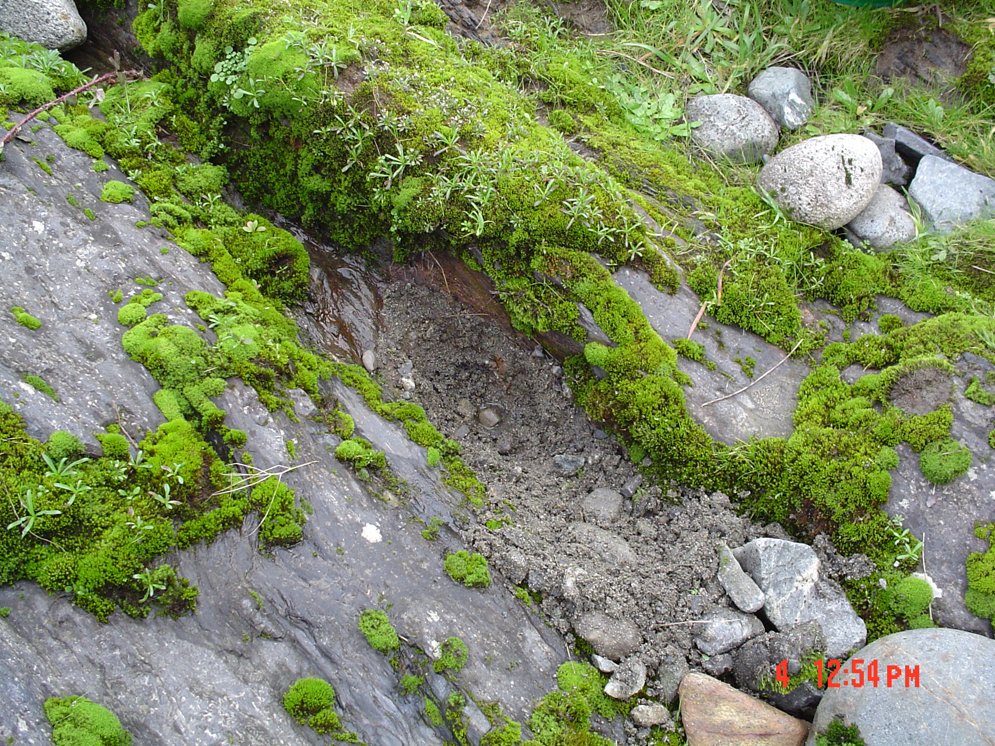
The nearest mile marker to the downriver boundary is 19.64. There are two large roadside pull offs located on this claim. At the large pull off, on the upstream side of the bend in the middle of the claim, there is about 50-yards-long path that has a gentle slope all the way to the river. Directly across the river on the upper end is a gravel bar.
Here follow some video segments to give you are better idea of what the property looks like. Please note that the video was captured during mid-winter when water levels are much higher than during summer flows:
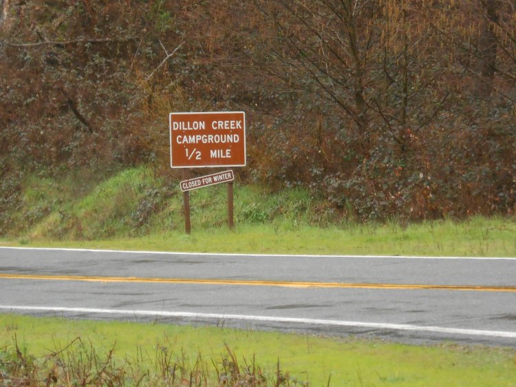
The Dillon creek campground just downstream (closed during the winter months) is a fee campground with toilets and water.
Here it is on Google Earth
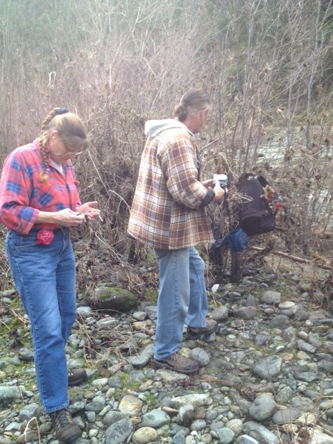
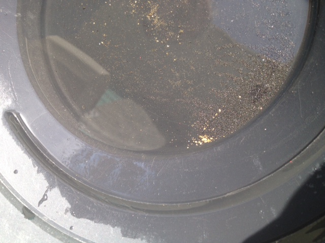
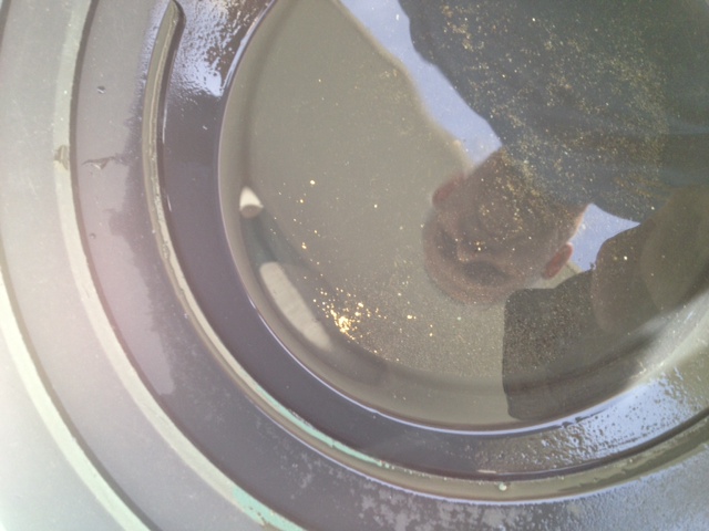
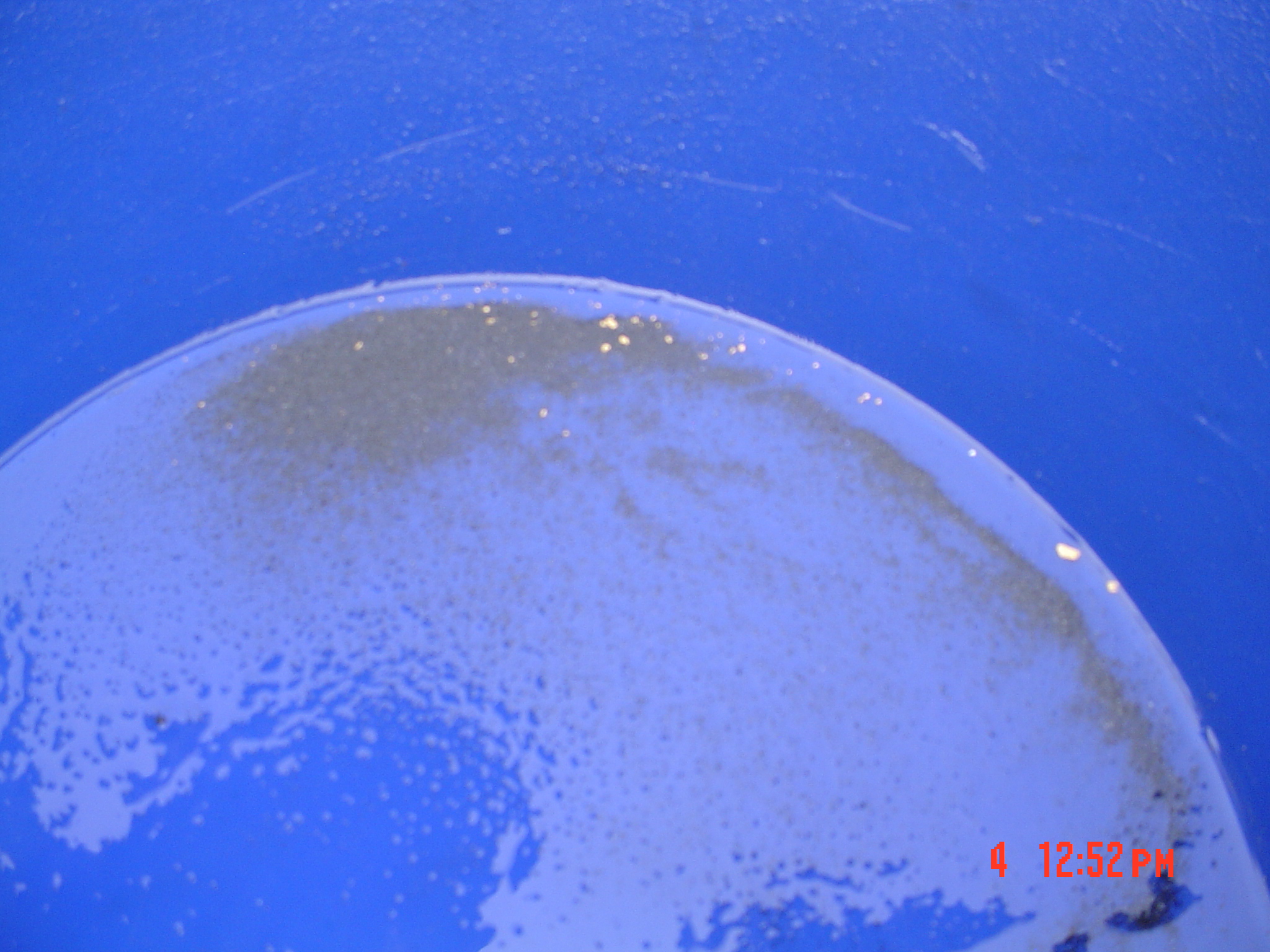
PROSPECTS: Here is another very proven section of the Klamath River. The first high-grade pay-streak Dave Mack and his partners found on the Klamath River was located about a mile downstream. One of Dave Mack’s original dredging students claimed this same section of river during their first year on the Klamath in 1984. He was recovering half ounce of gold per day using a 4-inch dredge on the roadside of the river not far downstream from the rapids. Something happened in the person’s personal life that he had to return home, and he never returned. To our knowledge, nobody has dredged in this section of river since that time. There is extensive bedrock showing on both sides of the river the entire length of this claim. Images here display gold which was recovered by our advanced sampling team along the roadside of the river up near the pathway.


Upper Klamath :: Upper-mid Klamath :: Mid Klamath :: Lower Klamath
Elk Creek :: Indian Creek :: Scott River :: Thompson Creek
Salmon River Main Stem :: Salmon River North Fork
Master List of Mining Properties


