

Important note concerning Mining & Dredging Seasons on this Property
Google Earth Coordinates: 41°37’2.59″N 123°28’59.66″W
To view the content from the link above you will need to have Google Earth installed on your home computer. Download Google Earth
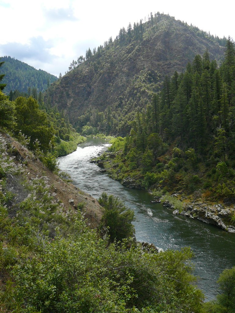
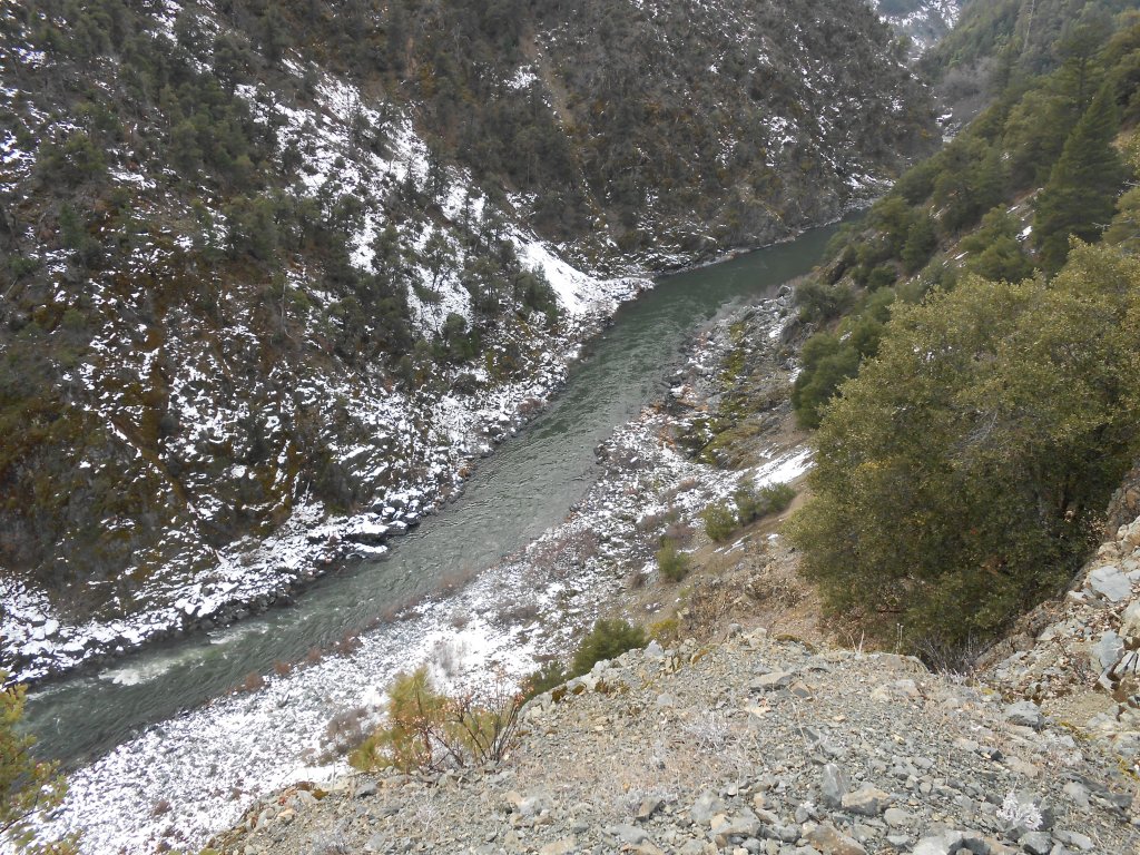
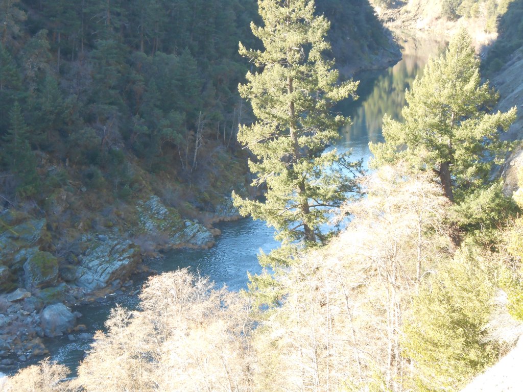
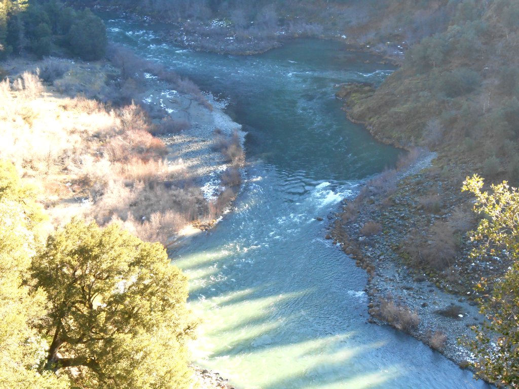
K-25AA – UKONOM GOLD CLAIM – Located about 16 miles downstream of Happy Camp, this property takes up 1.4 miles of a mostly remote portion of the Klamath River. It is upstream into the lower portion of the Independence canyon that begins up on our K-25 property. It butts up to our K-25A property downstream at the mouth of Ukonom Creek.
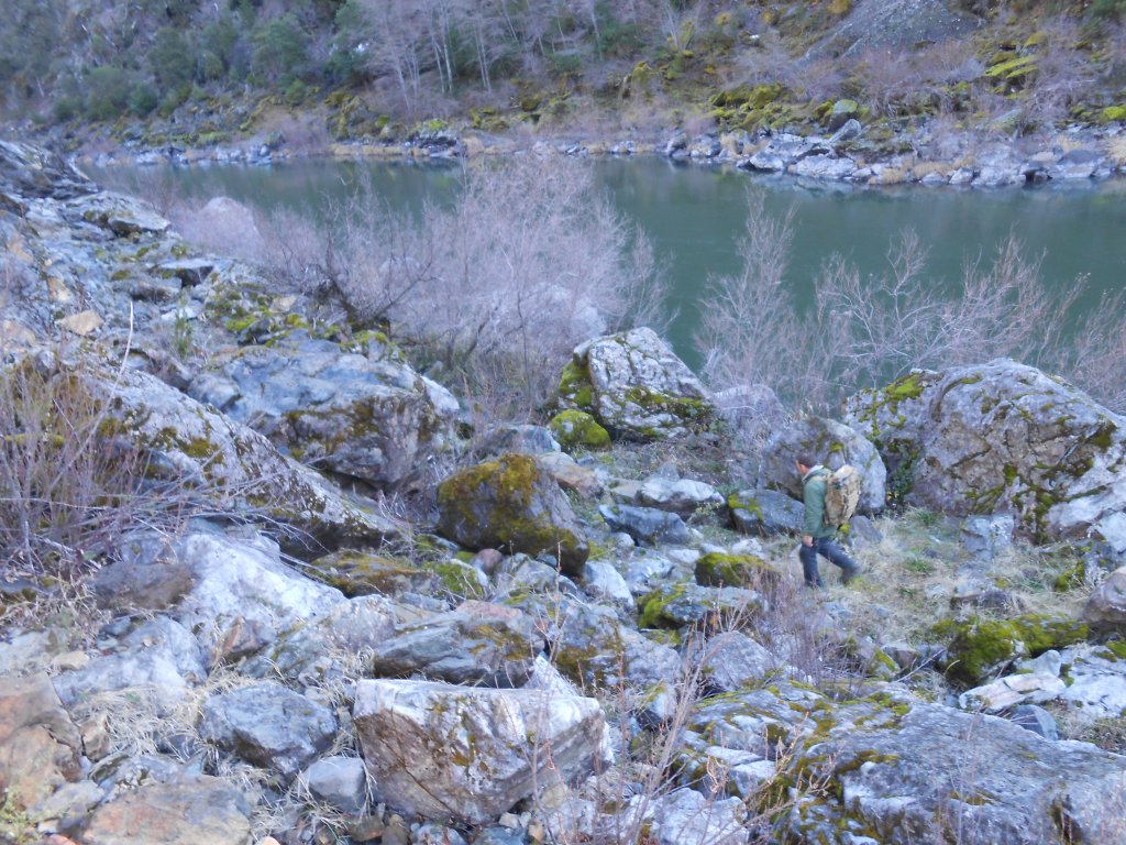
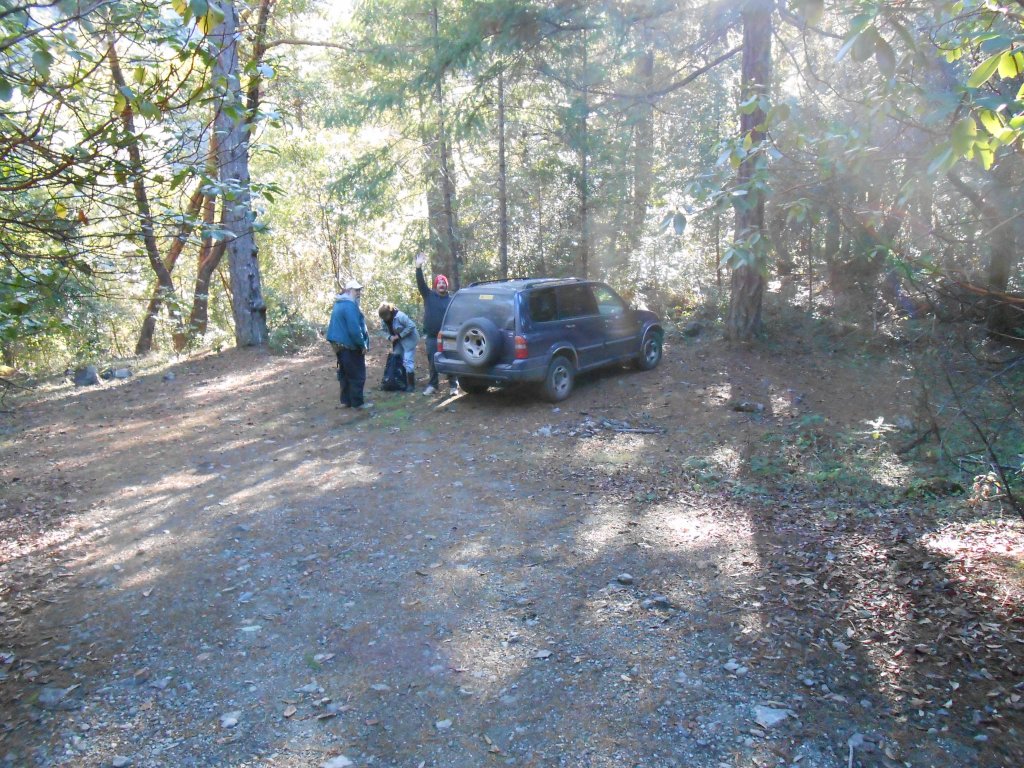
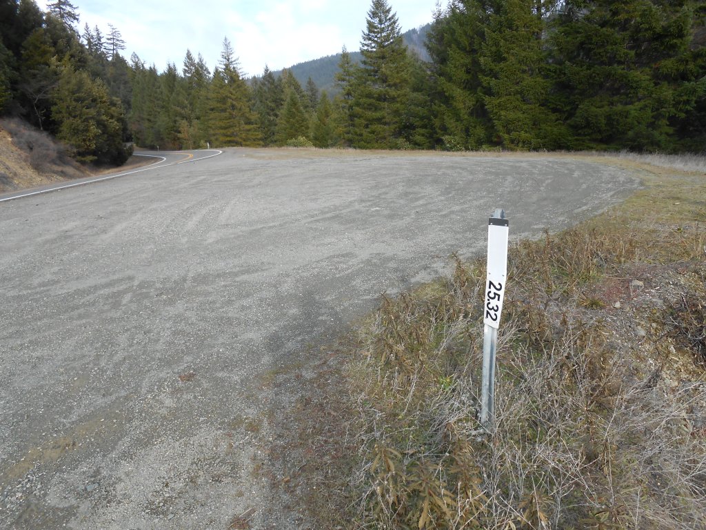
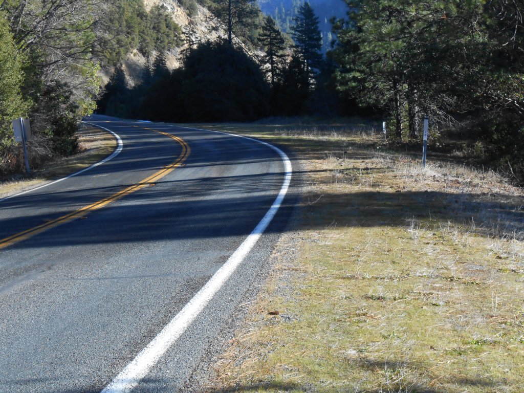
There is a sizable roadside pull-off towards the lower end of the property where you will find an unimproved road that leads to a hidden parking area with some limited camping (mile marker 25.2). You will find a narrow trail there that leads down to the river just upstream from Ukonom Creek. The trail is a very well defined, but rather steep most of the way down to the river. We have attached a rope to assist with safer passage. If you look around, you will find other trails near the lower end of the property, all of them rather steep and challenging, especially for packing gear. It is an elevation drop of around 100 feet to the river from Highway 96, so we recommend taking it light and easy on your first visit, and bring along some water and a snack. Don’t forget to bring along a camera, because the dramatic and remote landscape once you get down on the river might shock you into feelings like you have been transported into a lost world. Not been many people have visited this place!
The upper end of the property is landlocked by private property (see the kmz file on Google Earth just below). Please respect the private property signs on the access roads towards the upper end of the property. The lower end of this property butts up to our K-25A, then to K-25AB, and then to K-25B, allowing us a continuous length of 4.7 miles.
Here is K-25AA on Google Earth.
Here is K-25AA through K-25B on Google Earth.
IMPORTANT NOTE: Between June 15 and October 15, there will be no dredging within 500 feet upstream and 2000 feet downstream of the mouth of Ukonom Creek.
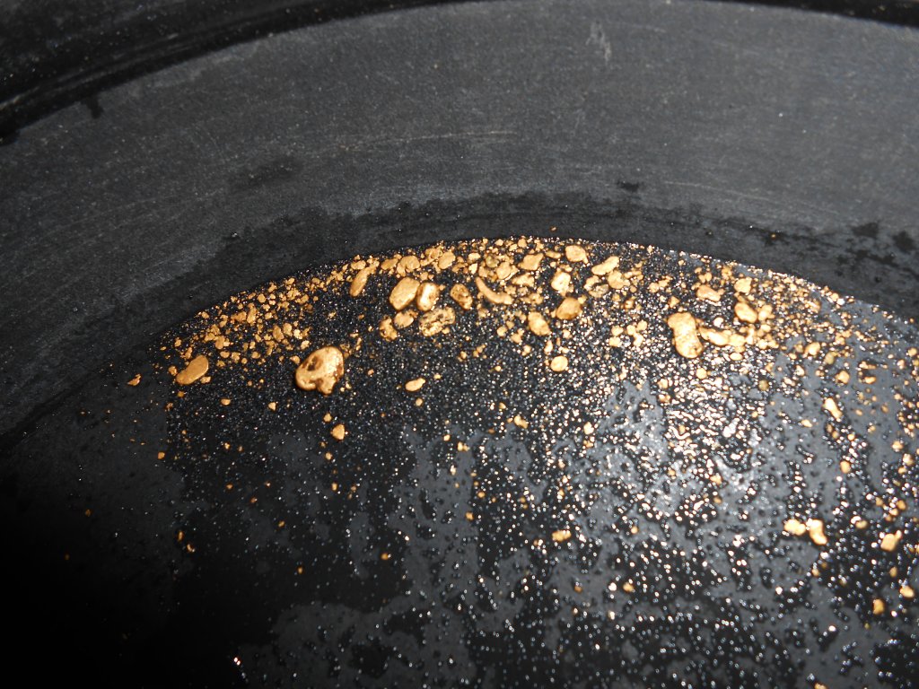
PROSPECTS: There are signs of historical mining activity up the hillside, and even across on the north side of Highway 96. The panning, crevicing and vack mining opportunities in the exposed bedrock on the bottom end of the property (where the trail leads) provide some of the best small-scale gold recovery you will find anywhere along our properties. We are assuming there is more of the same along the 1.4 mile stretch of river further upstream. We will need to find the old prospecting trails that will certainly lead into those areas. There will unquestionably be extraordinary opportunities for high-grade gold deposits within the active waterway.


Upper Klamath :: Upper-mid Klamath :: Mid Klamath :: Lower Klamath
Elk Creek :: Indian Creek :: Scott River :: Thompson Creek
Salmon River Main Stem :: Salmon River North Fork
Master List of Mining Properties


