

Important note concerning Mining & Dredging Seasons on this Property
Google Earth Coordinates: 41 38’17.2″N 123 27’55.4″W
To view the content from the link above you will need to have Google Earth installed on your home computer. Download Google Earth
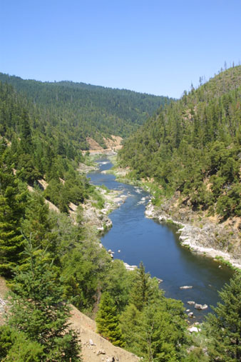
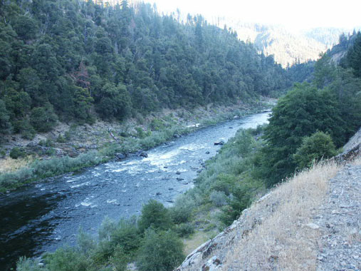
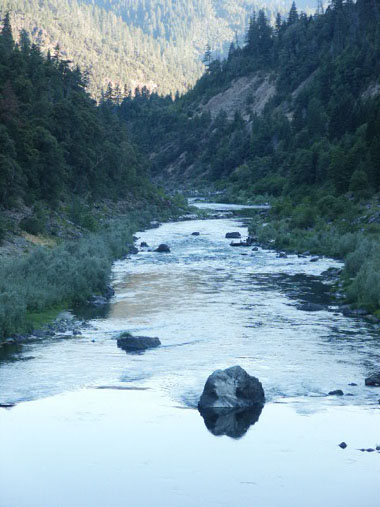
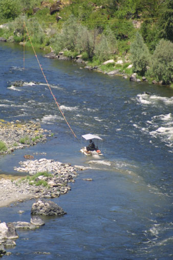
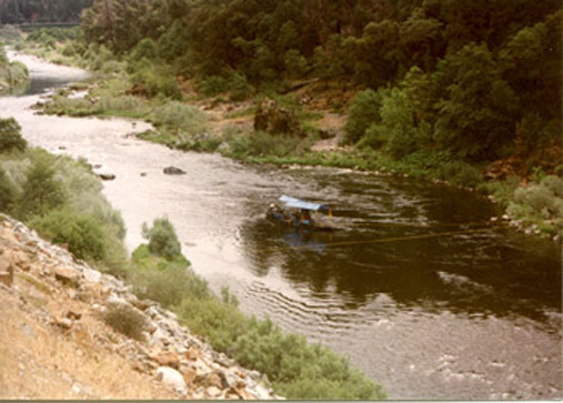
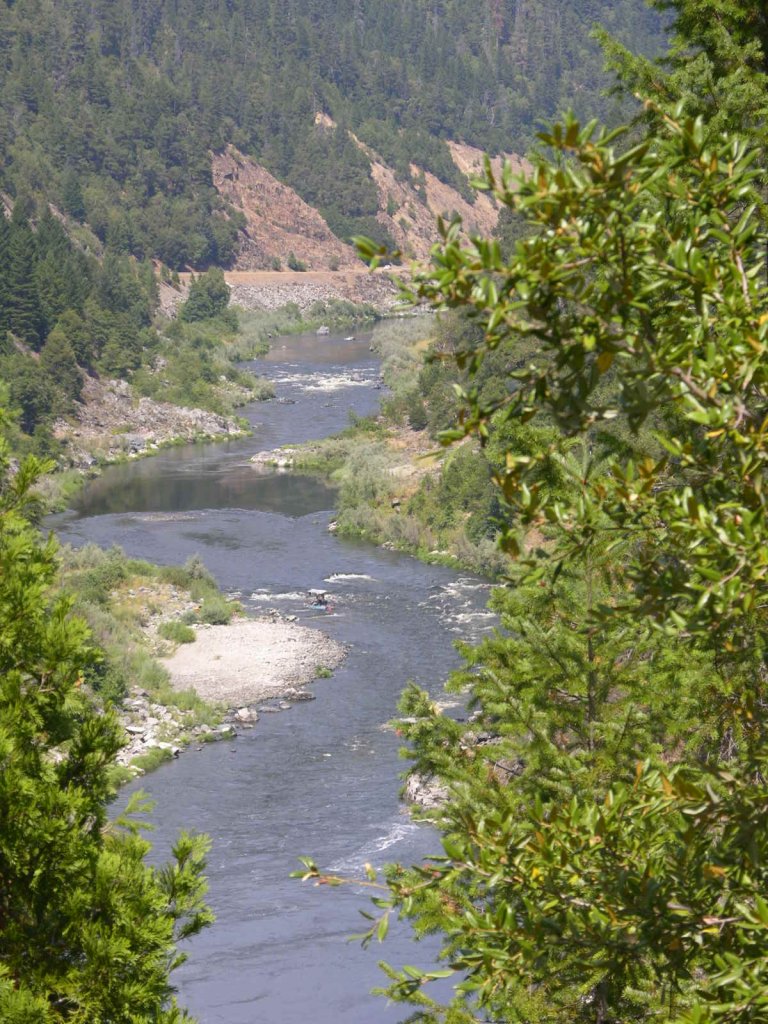
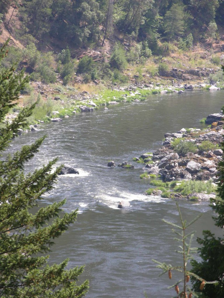
K-25 LOWER INDEPENDENCE CANYON CLAIM – The upriver boundary (mile marker 27.16) sign is posted on a tree alongside Highway 96, located 13.3 miles below Happy Camp-or about a mile downriver from the Independence bridge. The upper boundary is about 200 yards downriver from Crawford Creek, which passes under Highway 96 through a very large culvert. The upper end of this property butts up to our K-24A. The lower boundary is marked along Highway 96 at mile marker 26.29. The claim can be accessed by various paths and trails which have been created along the hillside. There is one old road which extends part way down to the river which some members are using for a trail. This is located in a large Highway 96 pull-off, just upriver from the most upriver private property. The location is marked with a claim sign. Camping can be done on this large pull-off.
Here it is on Google Earth
PROSPECTS: This is one of the richest mining properties owned by the Club. Hundreds (estimate) of ounces of gold have been dredged from the claim just above during the past several years. Some members have sampled and mined on the upper end of this claim and found the deposits to be very rich. Surface mining the exposed bedrock is also very good. The problem to overcome is access down the hill.


Upper Klamath :: Upper-mid Klamath :: Mid Klamath :: Lower Klamath
Elk Creek :: Indian Creek :: Scott River :: Thompson Creek
Salmon River Main Stem :: Salmon River North Fork
Master List of Mining Properties


