

Important note concerning Mining & Dredging Seasons on this Property
Google Earth Coordinates: 41°43’48.46″N, 123°26’2.94″W
To view the content from the link above you will need to have Google Earth installed on your home computer. Download Google Earth

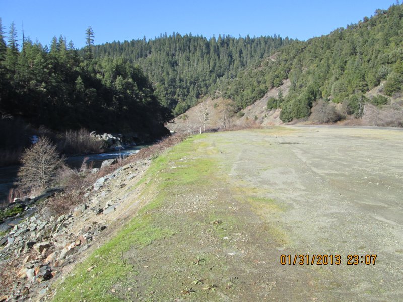
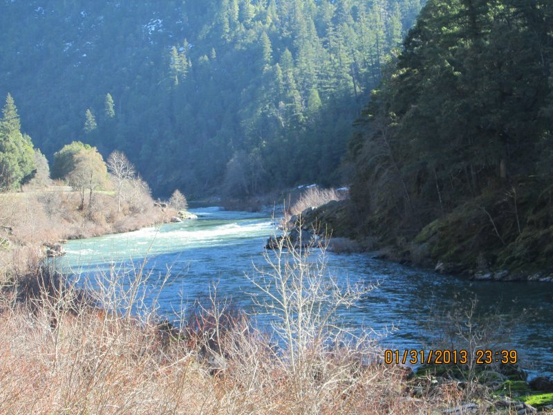
This ¾-mile property, about 9.3 miles downstream of Happy Camp, is not far upstream from our Wingate Property. Look for our upper boundary sign on a tree just upstream from the large pull-off on the side of Highway 96 — located 200 feet downstream from mileage marker 34.78. The lower boundary is directly across from U.S. Forest Service Road 15N32.
Here it is on Google Earth
Here it is in reference to K-23A on Google Earth.
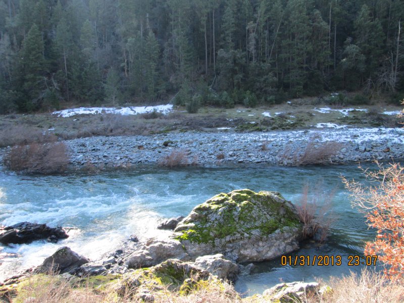
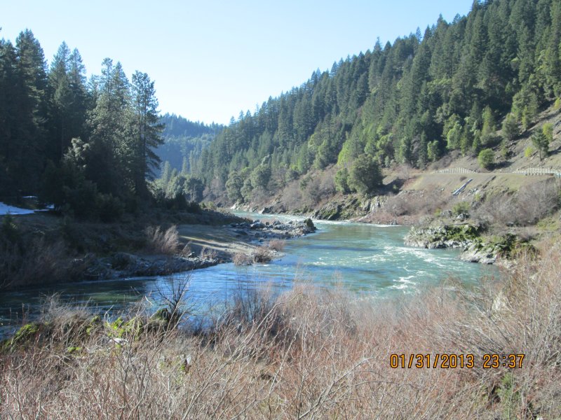
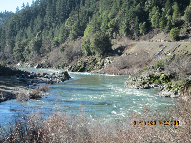
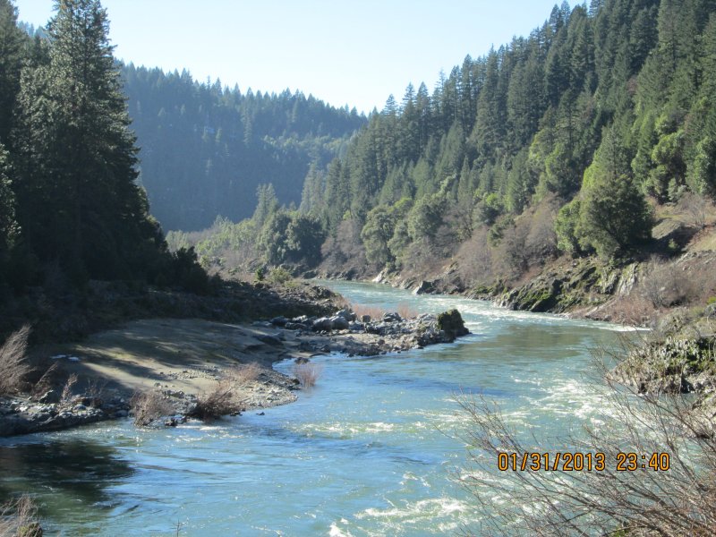
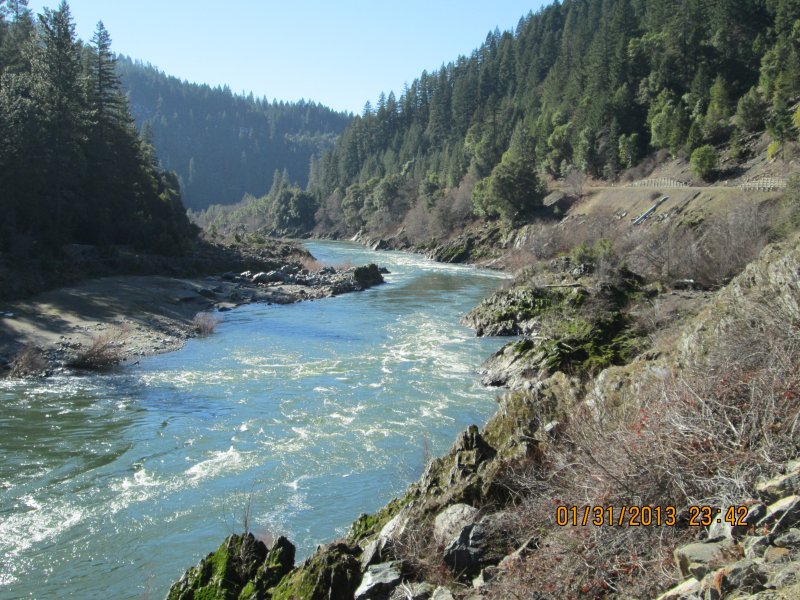
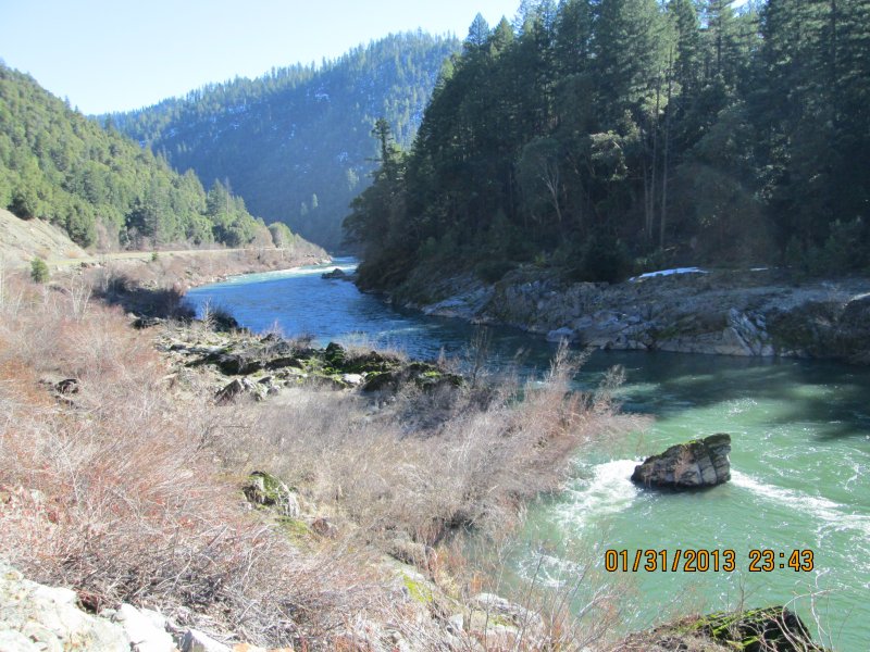
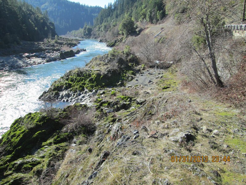
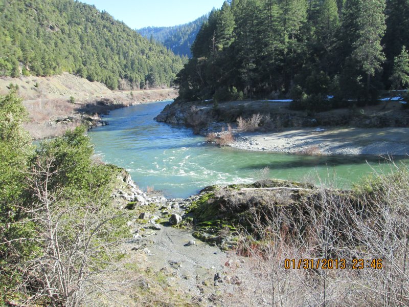
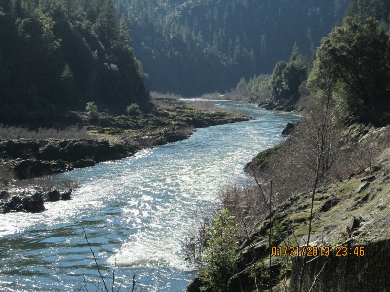
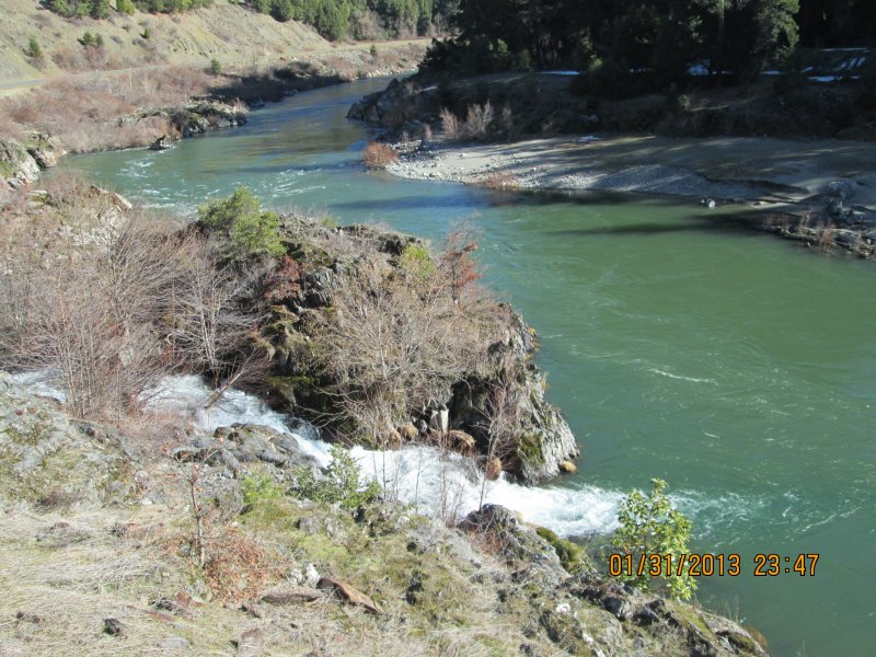
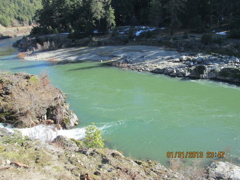
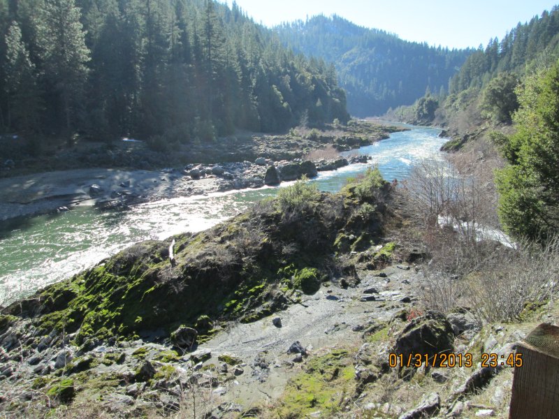
This is another area we have had our eyes on for many years, mainly because of the extensive stretches of exposed bedrock and high-banking opportunity on the far side of the river – especially for crevice mining both above and below the water.
There is also a sizable pull-off area along the side of Highway 96 for parking and camping directly on the property.
If you are planning to work this property, we suggest bringing a small boat, perhaps with a small motor. The best gold deposits will likely be found on the far side of the river.
PROSPECTS: This is a rich mining property which has been held in private hands since before we arrived on the Klamath River in 1984. The owners did not allow anyone to mining on the property, save for one old-timer that has been camping in the roadside pull-off, paddling a canoe over the far side of the river, and digging the gold out of exposed bedrock cracks every summer since at least 1984.


Upper Klamath :: Upper-mid Klamath :: Mid Klamath :: Lower Klamath
Elk Creek :: Indian Creek :: Scott River :: Thompson Creek
Salmon River Main Stem :: Salmon River North Fork
Master List of Mining Properties


