Important note concerning Mining & Dredging Seasons on this Property
Google Earth Coordinates: 41 54’59.10″N 123 27’59.10″W
To view the content from the link above you will need to have Google Earth installed on your home computer. Download Google Earth
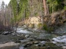
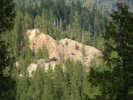
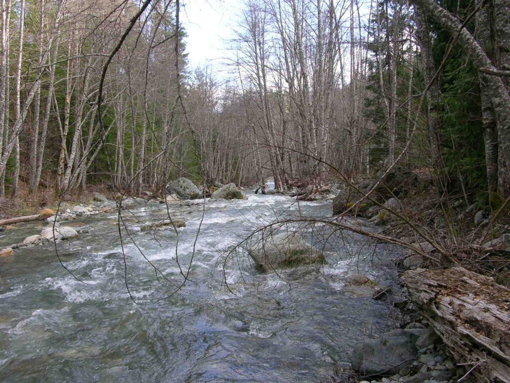
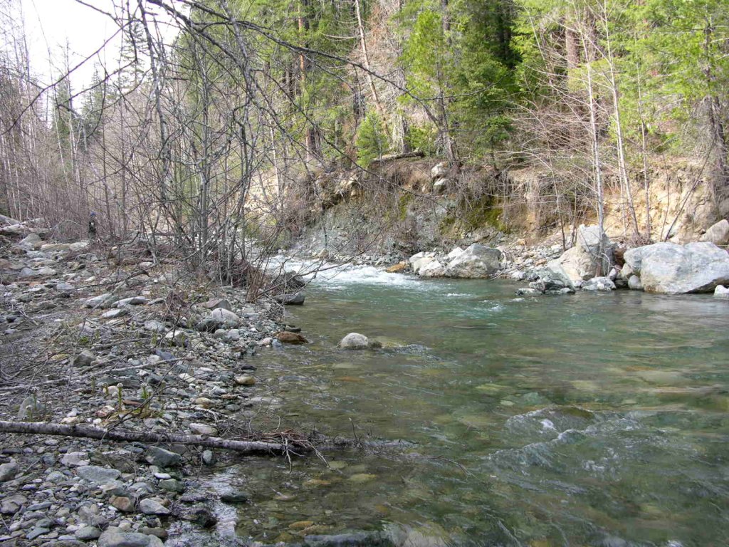
This property adjoins the upper-end of the Club’s I-2 property, just under the shadow of the historic Classic Hill Mine. The property then follows Indian Creek upstream all the way up to about a ¼-mile downstream of the Club’s I-3 property near the West Branch Campground on Indian Creek.
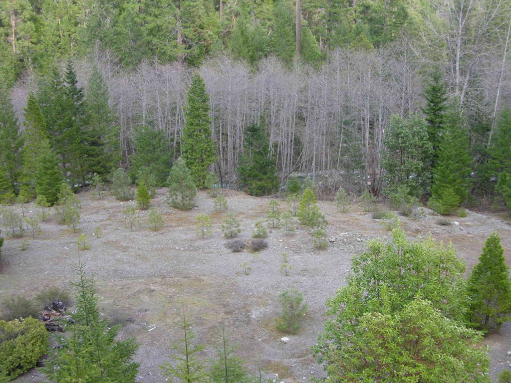
There is easy access towards the lower-end of this property (below the Classic Hill Mine), and near where Indian Creek Road crosses Indian Creek. Thereafter, Indian Creek Road winds its way up the hill towards Oregon, moving a bit further away from Indian Creek. However, there is a very nice unimproved dirt road which extends down onto this new property from up near the West Branch Campground. (Note; this road access was washed out during a storm in 2016) Access to this road may require getting a key from the Forest Service (USFS) in Happy Camp to get through 2 gates which are presently blocking passage for vehicle use. A large flood washed out the bridge to the West Branch Campground several years ago; and since the bridge has yet to be repaired, the USFS has closed the gates, probably for public safety reasons. Some people have been riding trail bikes past the gates to gain access to this road. The road is in pretty good shape. It provides access directly to the creek and a nice camping area on this new property.
The lower boundary of I-2A is not marked, because the boundary adjoins I-2, another long Club property which follows Indian Creek further downstream. The upper boundary of I-2A is marked with a New 49’er boundary sign on a tree alongside of Indian Creek Road. There is a ¼-mile stretch of Indian Creek which separates the upper-end of I-2A and the lower-end of the Club’s I-3.
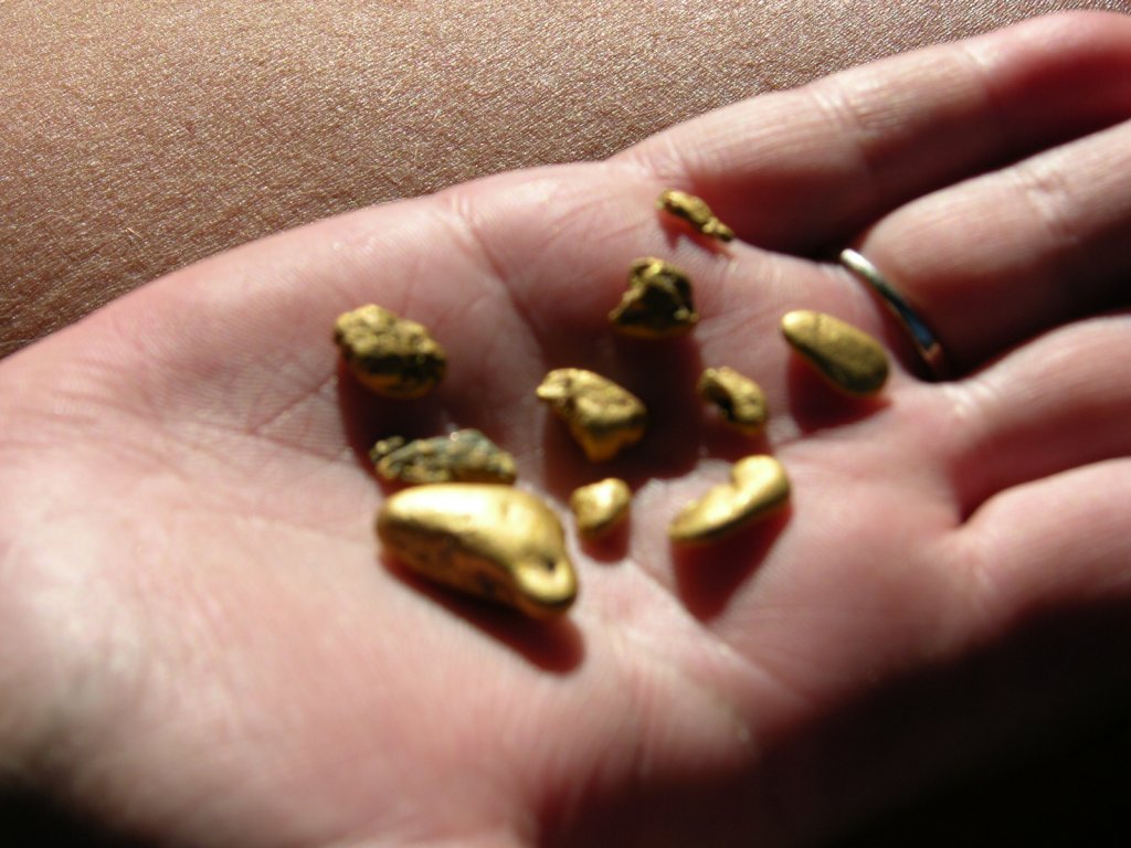
PROSPECTS: The prospects for high-grade gold and beautiful gold nuggets on this property are fantastic! One contributing reason for this is that the tail races from the famous Huey Mine discharged themselves directly into Indian Creek on this property!
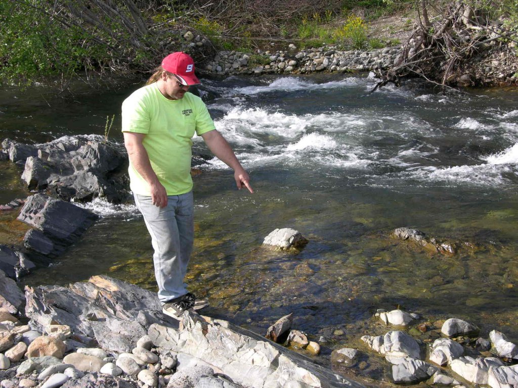
Several years ago, one of our more aggressive members, Dale Carnagey, dredged some sample holes on Indian Creek just below one of the tail races of the Huey Mine, and he was picking up really nice jewelry gold and nuggets before he realized that he was not on a Club property. To our knowledge, nobody has returned since Dale departed the area. In fact, it has been Dale’s constant encouragement that prompted the Club to acquire this property.
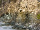
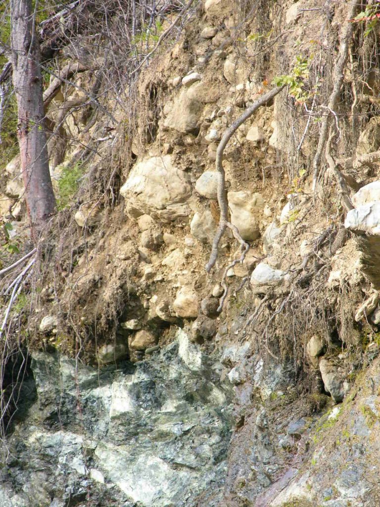
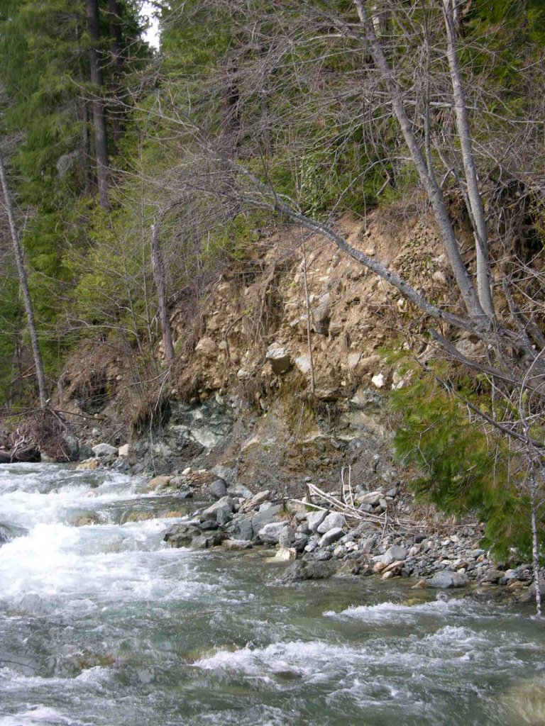
A closer look down along the creek (in the area where Dale was dredging) will show virgin streambed eroding off of the bedrock into the creek, directly beneath the Huey Mine. Wow, does that look good! No doubt, this is the result of the large winter storm which washed out the bridge to the West Branch Campground a few years ago.


