Important note concerning Mining & Dredging Seasons on this Property
Google Earth Coordinates: 41 55’54.6″N 123 28’28.7″W
To view the content from the link above you will need to have Google Earth installed on your home computer. Download Google Earth
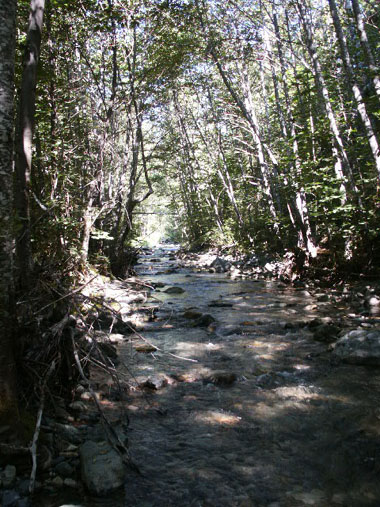
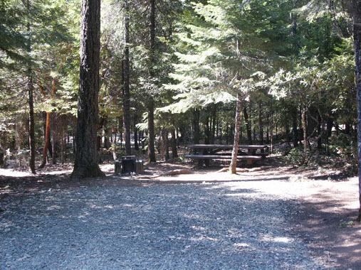
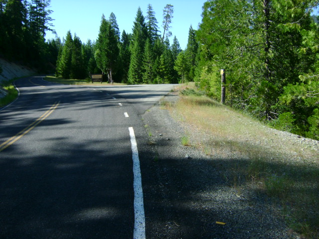
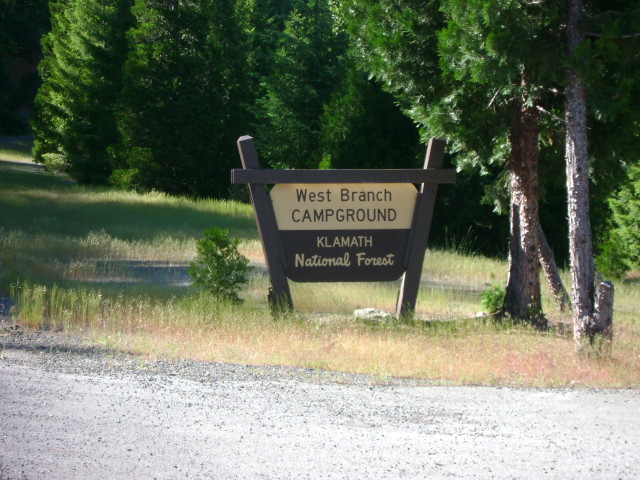
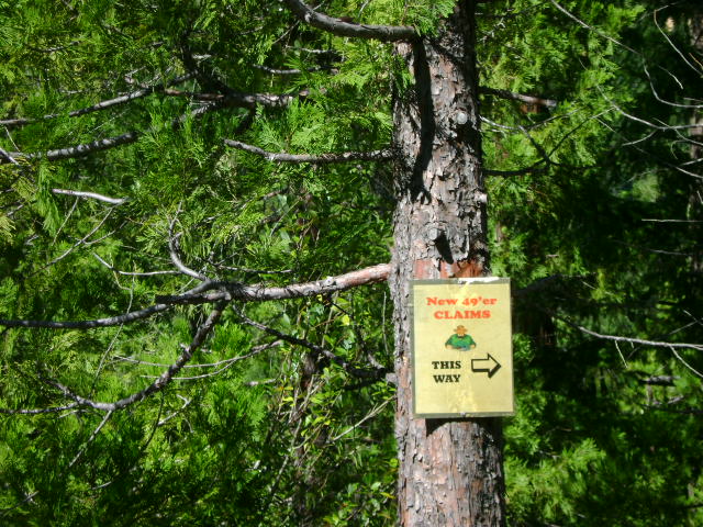
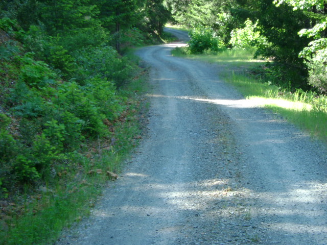
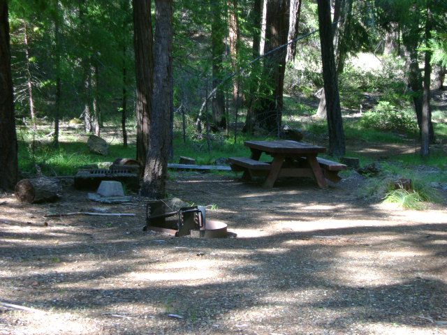
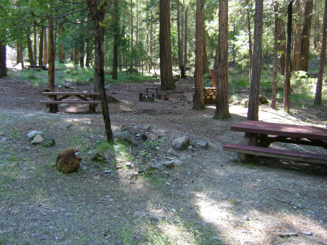
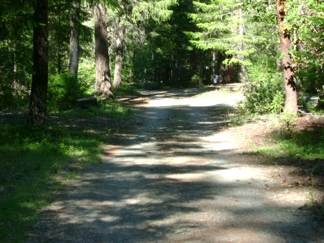
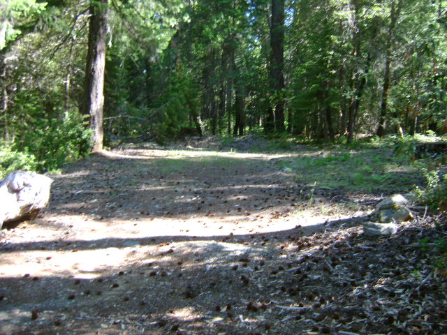
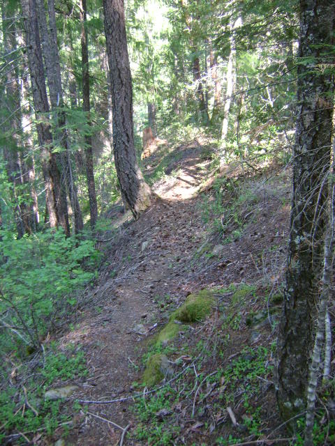
I-3 WEST BRANCH OF INDIAN CREEK CLAIMS – (Note; this road access was washed out during a storm in 2016) These claims are located 9/10 of a mile up Indian Creek Road from the last Indian Creek bridge-or approximately just short of 12 miles up Indian Creek Road from Happy Camp. Look for the U.S. Forest Service “West Branch” campground sign on the right side. The access road will *cross a bridge and lead into the campground, where you can take a right turn onto a one-way drive through, or you can go straight-which will lead you to another access road (#18N31A), which will go through a gate and take you near a creek access point further upstream. This road is somewhat primitive, so members should be cautious. The one-way road through the campground will lead you down toward the creek, where we have several trails leading directly to the creek. Watch for our signs. The boundary sign at the lower-creek boundary is posted on a tree about 1/4 mile downstream from the campground. The upper-creek boundary is so far up there, you will probably have difficulty finding the sign. Camping (for a fee) is allowed for two weeks in the developed Forest Service campground. Members wanting to stay longer may camp in a special access area at the lowest end of the campground. Watch for signs.
*This bridge was destroyed during the January flood of 2006, and is temporarily closed to vehicle traffic.
PROSPECTS: We had a number of members working the lower end of these claims, below the campground, several years ago-and all of them were excited about the gold they were recovering. Some large nuggets were found, along with lots of jewelry gold. Gravel depth was around 2-3 feet in this area. The gold was along the bedrock. Most of the claim has yet to be tested. Some reports by members indicate that the gravel may be deeper further upstream on the claims. We have a few reports that good gold has also been found on the upper end of the claims. This is not surprising in view of the gold being recovered off the lower end. The prospects are very good!