State Land area open to suction dredging under a General Authorization by Department of State Lands and a Water Quality Permit issued by the Department of Environmental Quality

GOOGLE EARTH COORDINATES: To view the content from the location links below you will need to have Google Earth installed on your home computer. Download Google Earth
UPSTREAM: 42 56’49.99″N, 123 20’08.50″W
DOWNSTREAM: 42 57’07.53″N, 123 20’09.09″W


This public area is open bank to bank, the entire width of the river. This location is in Douglas County proper and is just under half-mile in length. Known as “Lawson Bar,” this location is at the mouth of Cow Creek. It is a very popular area for dredging.
Access Point SU-13-A
GOOGLE EARTH COORDINATES: 42 56’53.56″N, 123 20’08.38″W


This public access point is at the end of Lawson Bar Road. It is gravel parking area right on the water’s edge, suitable for passenger cars. It is posted as a day use area by Oregon Department of Transportation.
Upper Klamath :: Upper-mid Klamath :: Mid Klamath :: Lower Klamath
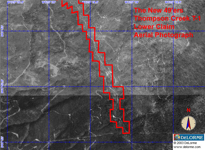
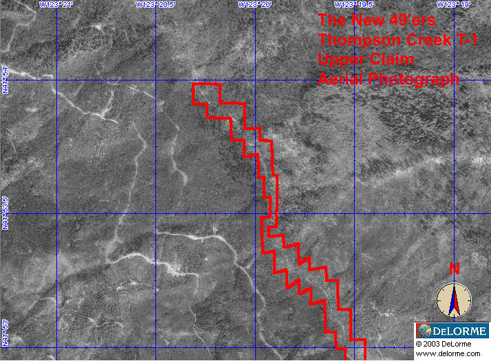
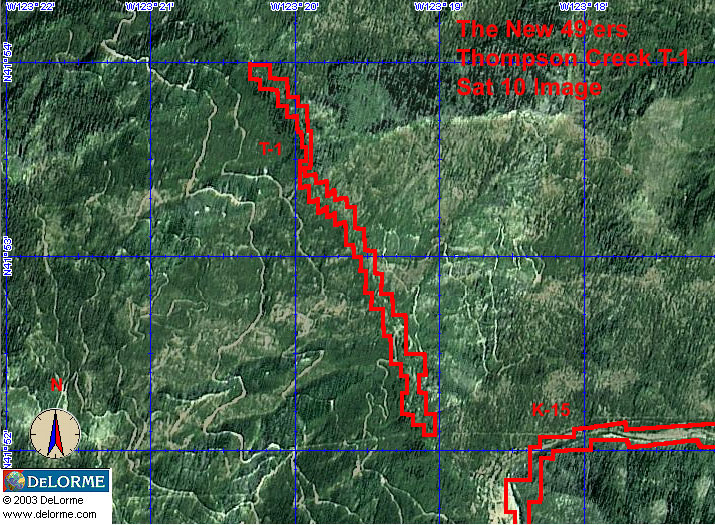
Elk Creek :: Indian Creek :: Scott River :: Thompson Creek
Salmon River Main Stem :: Salmon River North Fork
Master List of Mining Properties