ACCESSIBILITY: Most of the gold properties available to our members are near roads which parallel them, and are reasonably accessible. Under most conditions, 4-wheel drive vehicles are not needed. However, some people do like to get off by themselves, and we have plenty of property which will fulfill their needs for solitude and serenity.


Important note concerning Mining & Dredging Seasons on this Property

Google Earth Coordinates: 41 47’30.4″N 123 20’48.0W

To view the content from the link above you will need to have Google Earth installed on your home computer. Download Google Earth


K-19A LOWER WOODS BAR CLAIM – This claim begins just upstream from the Richardson Bedrock Mine (just upstream from Happy Camp), and follows the river all the way and connects with our Morgan Point claim at K-19.

There is private property between Highway 96 and this claim; so access can either be with the use of a boat from Happy Camp, or from a primitive river road access near the bottom of the claim on China Grade Road (on the other side of the river). You get to China Grade Road by driving down through Happy Camp and crossing the Klamath on the bridge below town. China Grade Road is just on the other side of the river, going in an upstream direction. The primitive access road (look for our sign on a tree 2.4 miles up China Grade Road) extends down near the river towards the lower-end of the claim. There is some limited camping down on the old access road.

IMPORTANT: All of the property on both sides of the river is private property except for the lower-end of this claim on the far side of the river. However, with the exception of a few points of private property which might extend a short distance out into the river, nearly all of the river is U.S. Forest Service land, and is part of our mining claim. Therefore, unless you have prior approval from private property owners, the only access to the upper portions of this claim is with the use of a boat.

PROSPECTS: Bedrock is showing all over the claim, so should be found also very shallow in the gravels. Several members have been dredging near the lower-end of the claim. The gold deposits should be very good, since the famous Muck-A-Muck hydraulic mine was located all along the inside bend of this claim.

Click on thumbnail for larger image.

Map Thumbnail

Topo
 

Upper Klamath :: Upper-mid Klamath :: Mid Klamath :: Lower Klamath
Elk Creek :: Indian Creek :: Scott River :: Thompson Creek
Salmon River Main Stem :: Salmon River North Fork
Master List of Mining Properties


Important note concerning Mining & Dredging Seasons on this Property

Google Earth Coordinates: 41 16’42.9″N 123 16’1.1″W

To view the content from the link above you will need to have Google Earth installed on your home computer. Download Google Earth


SAN-2 is located around 4 miles upstream on the North Fork from the Forks. Upper and lower boundaries are posted on trees alongside the Salmon River Road. There is a large flat area located along the lower end of the claim, which includes a good river access, and a lot of shaded area for camping. Long-term camping is allowed at this location. Look for the small sign that says: “Engine Fill site.”

There is a lot of bedrock showing along the edge of the river. This area is great for panning. There is a lot of original streambed showing along-side the active waterway. The upper portion of the claim is less accessible, but there is a good trail extending down from the road. Look for one of our claim signs on a tree near the trail-head. One of the most interesting features about this claim is the appearance of original streambed material alongside the river for the entire length of the claim. As this is a proven very rich section of river, the natural streambed material is a good sign that rich values should be present. Several members have been dredging up there and finding pretty good gold. The water is generally shallow and clear. The streambed material usually is not very deep to bedrock.

Click on thumbnail for larger image.

Map Thumbnail

Topo


Important note concerning Mining & Dredging Seasons on this Property

Google Earth Coordinates: 41 48’30.00″N 123 20’58.3″W

To view the content from the link above you will need to have Google Earth installed on your home computer. Download Google Earth


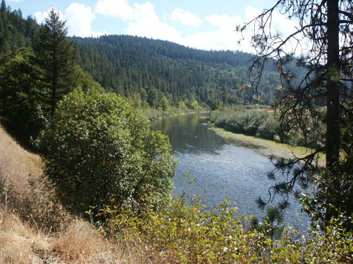
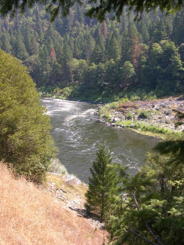
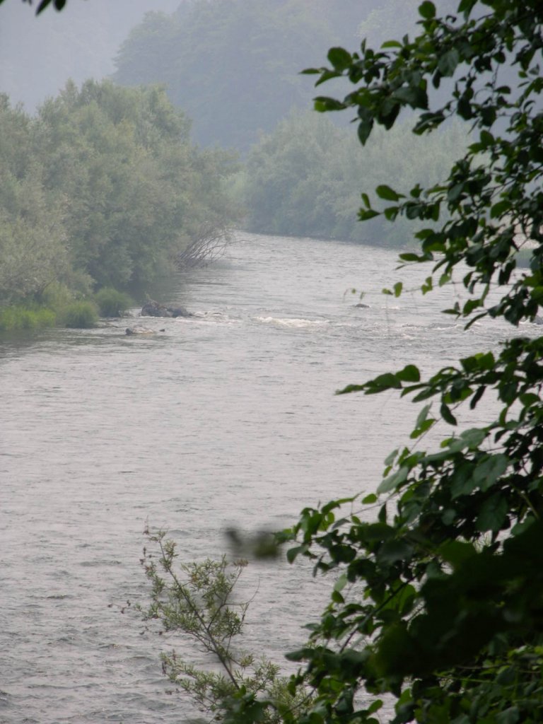
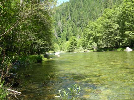
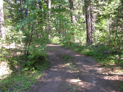
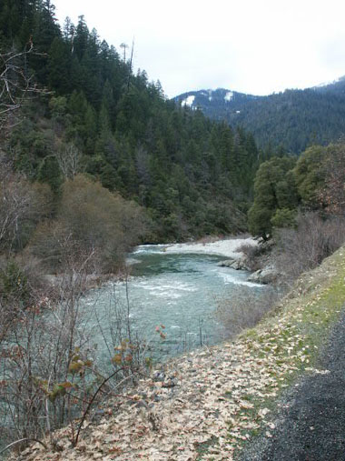
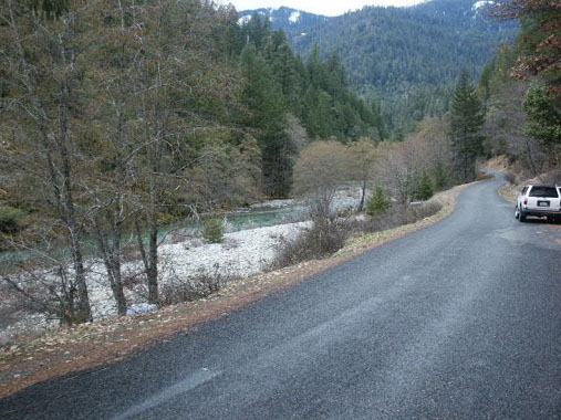
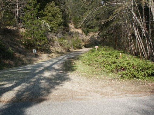
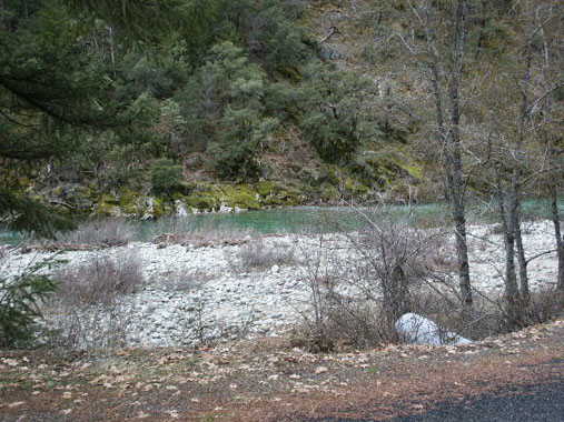
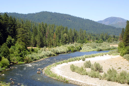
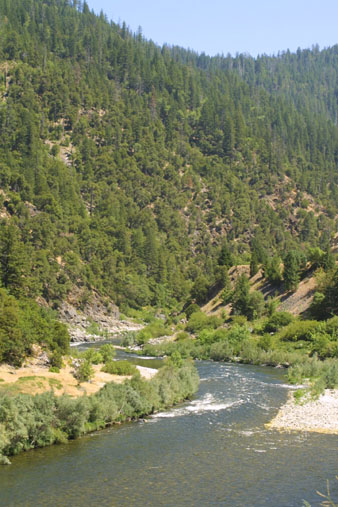
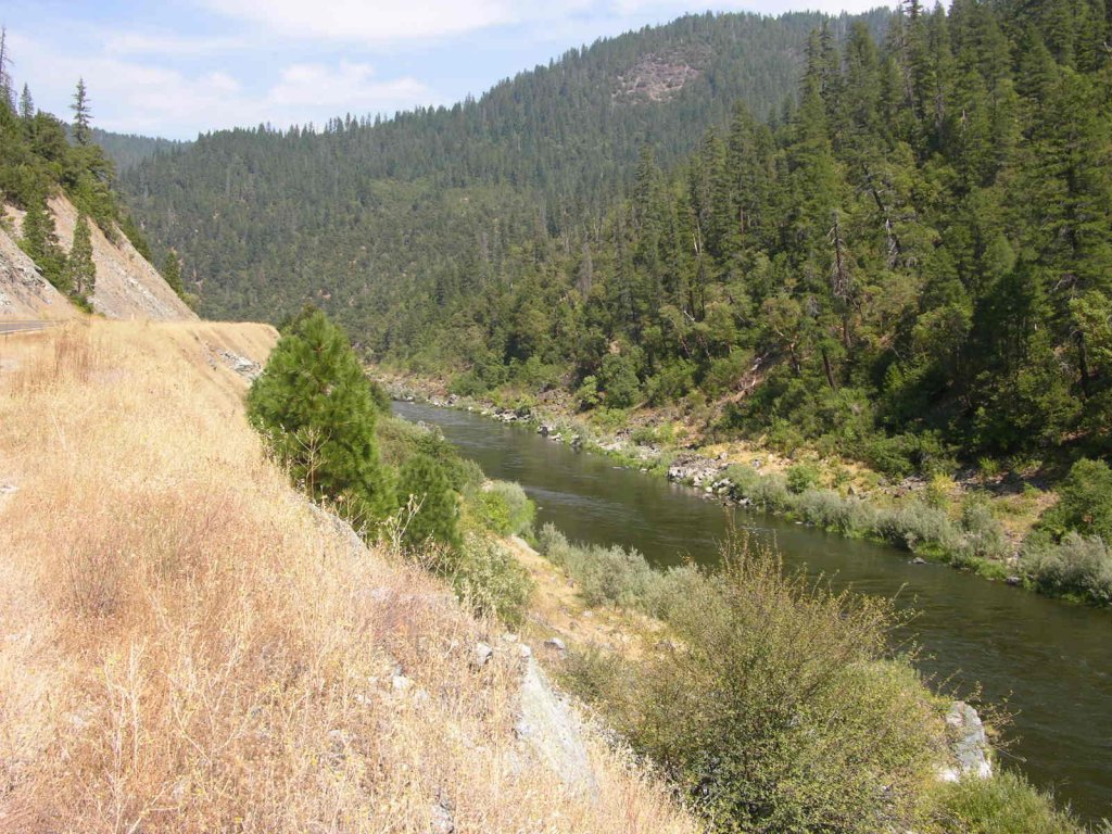
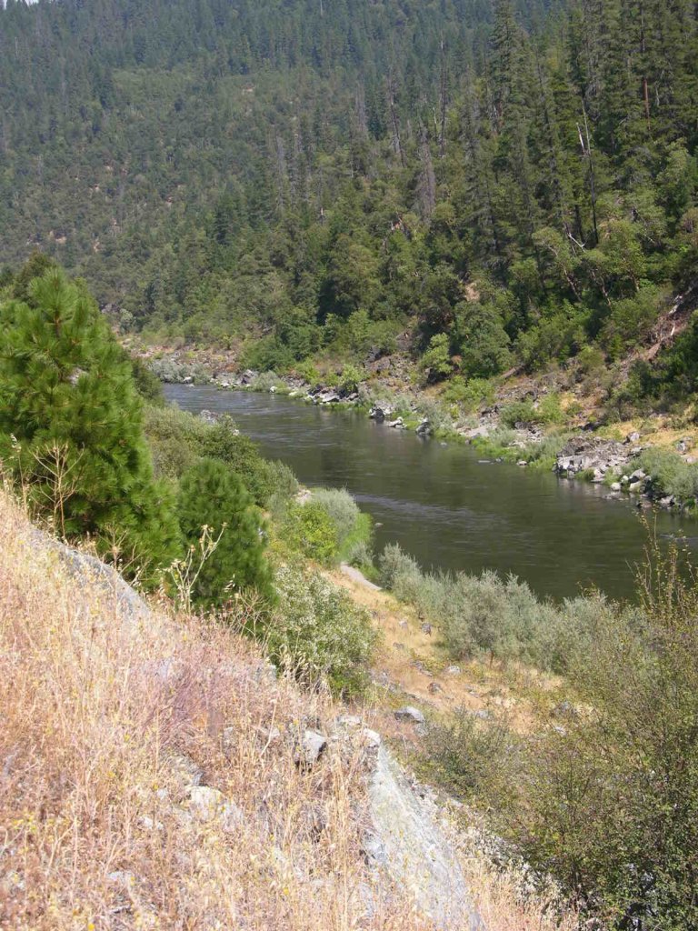
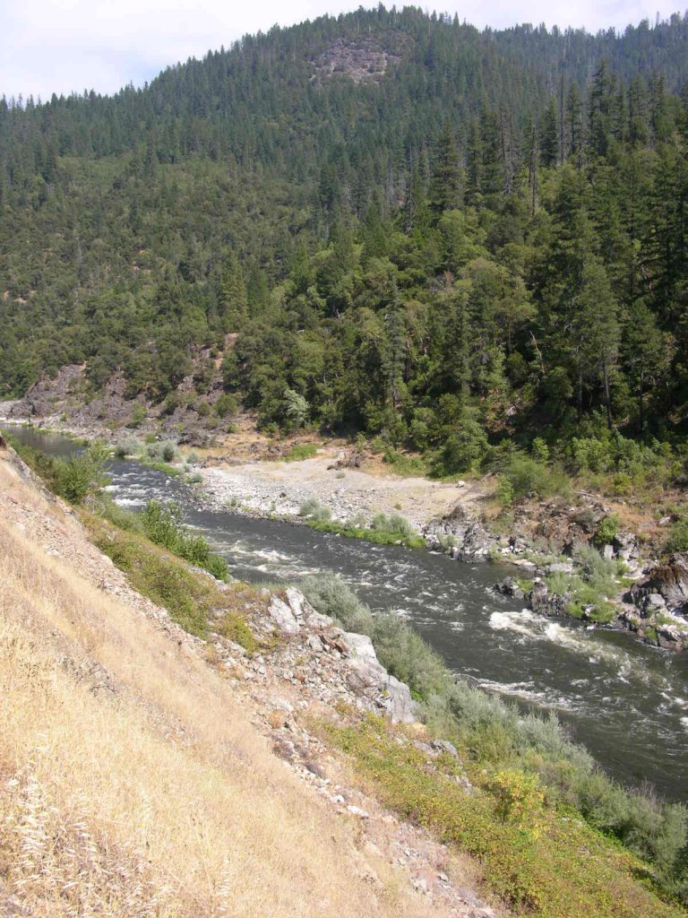
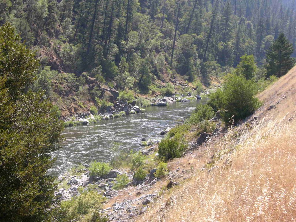
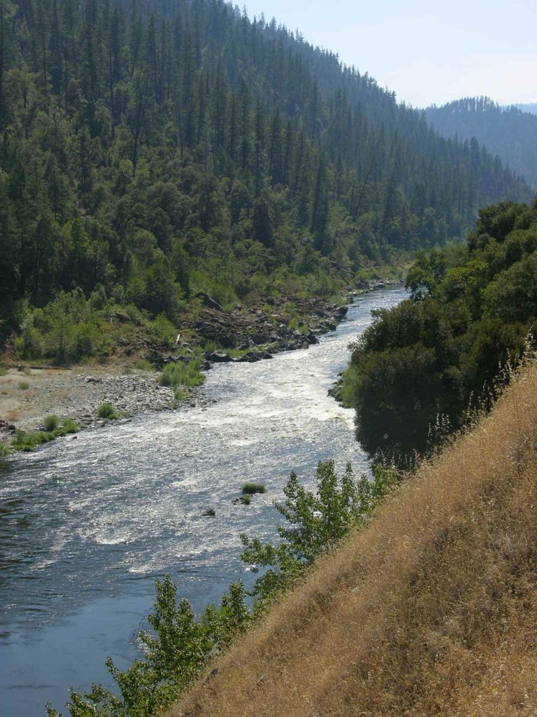
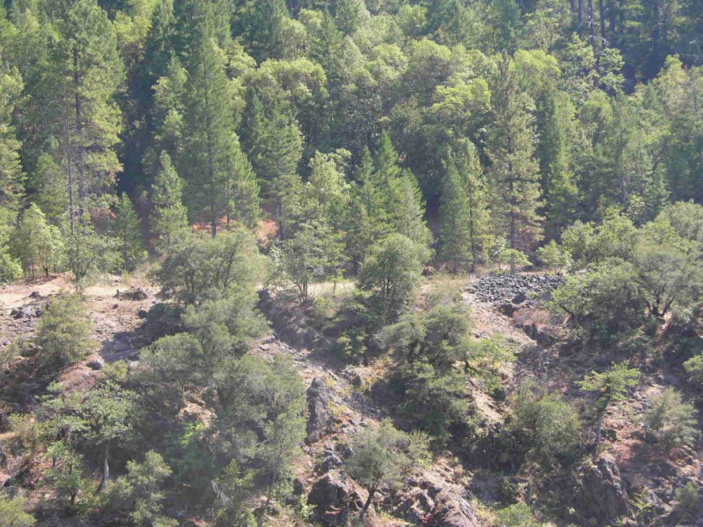
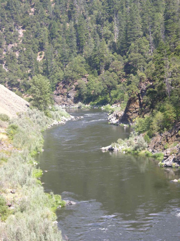
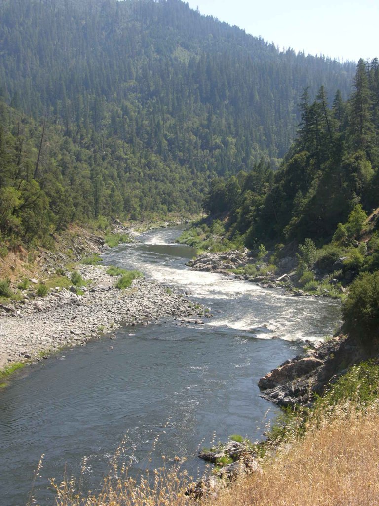
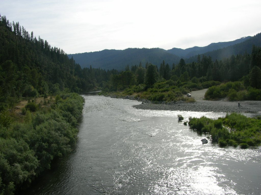
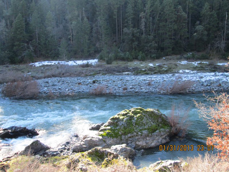
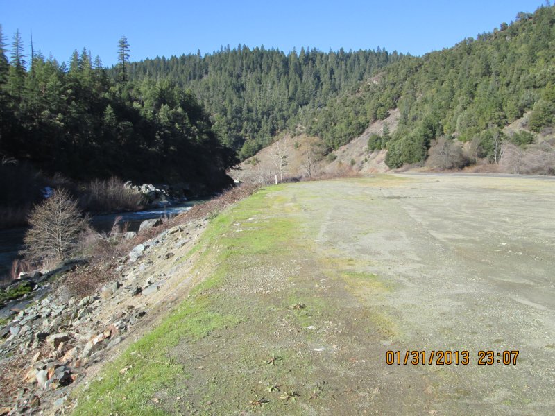
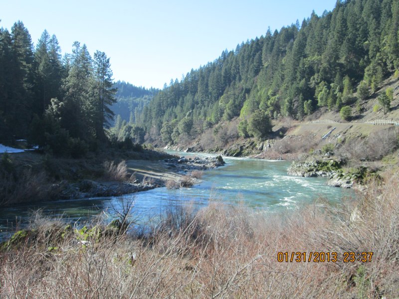
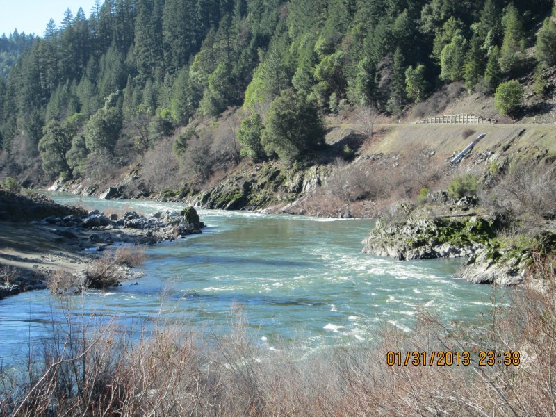
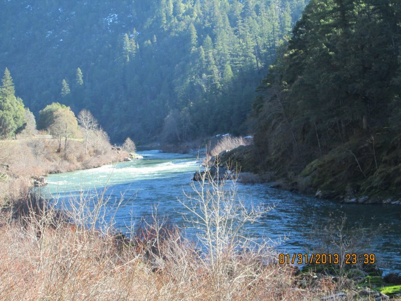
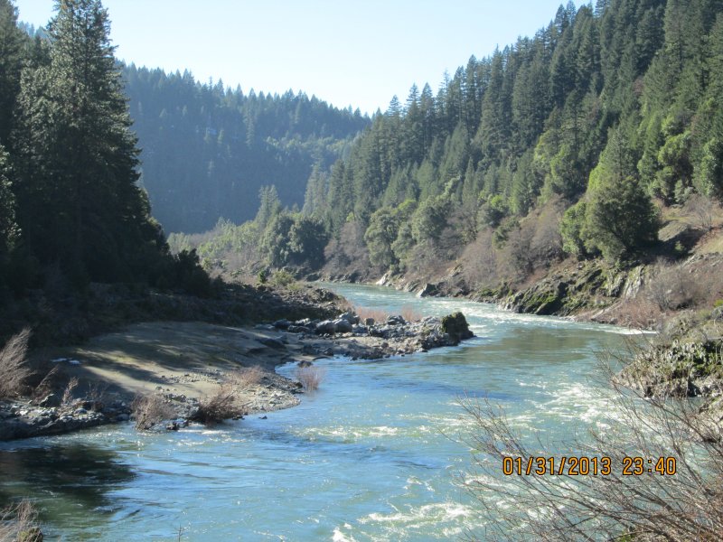
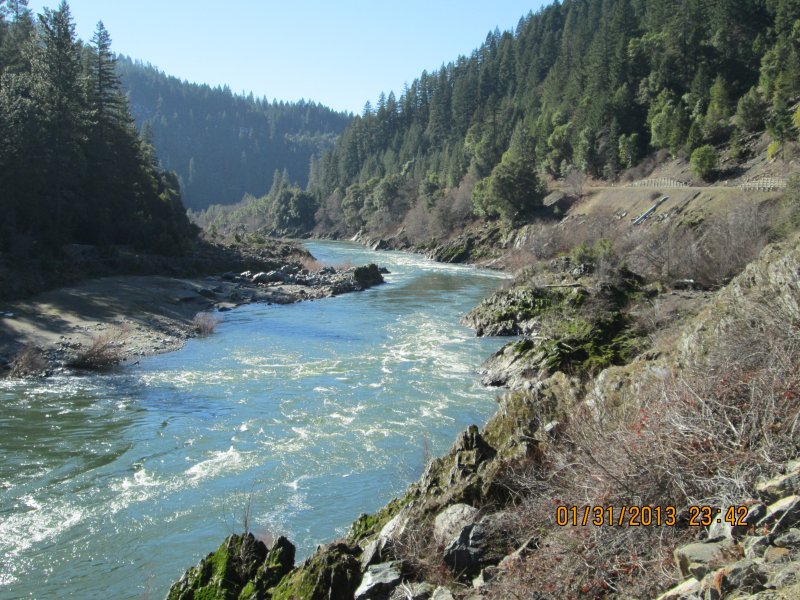
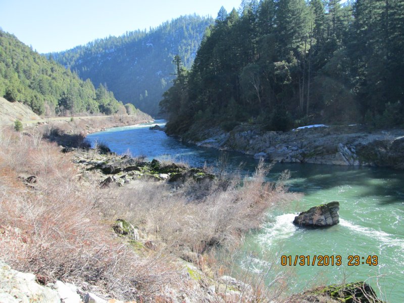
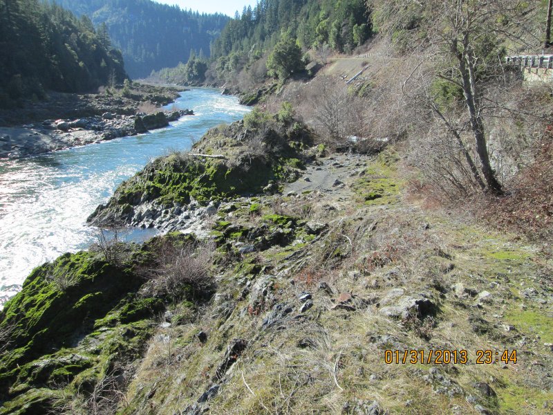
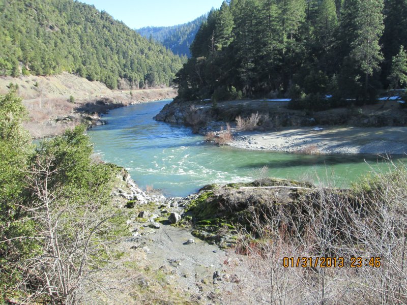
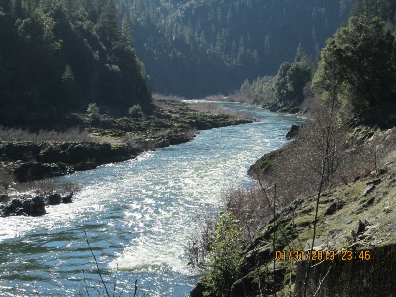
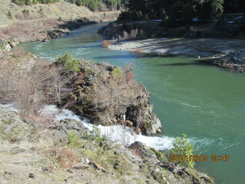
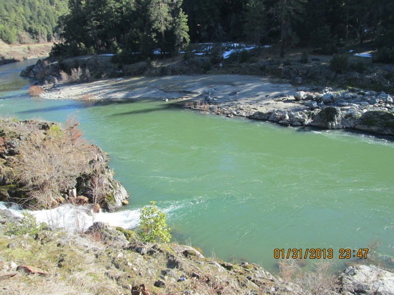
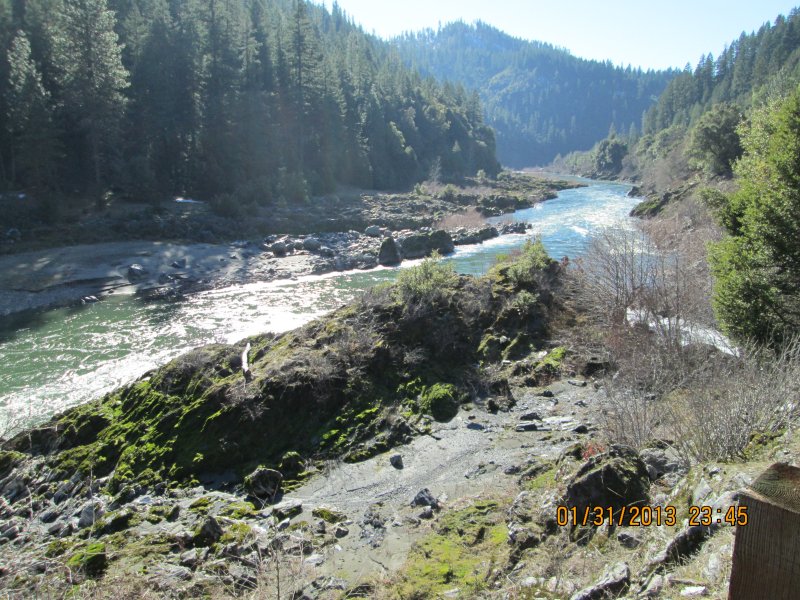
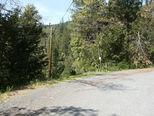
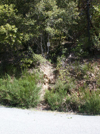
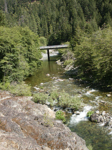
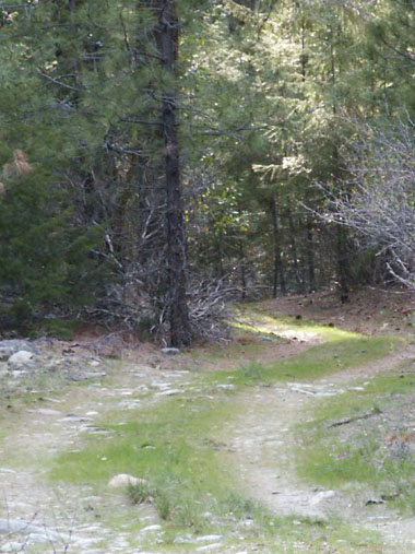
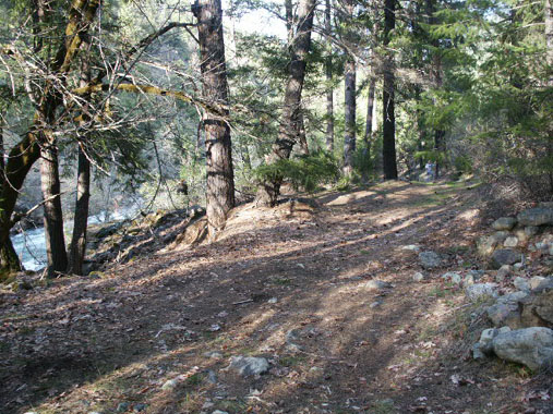
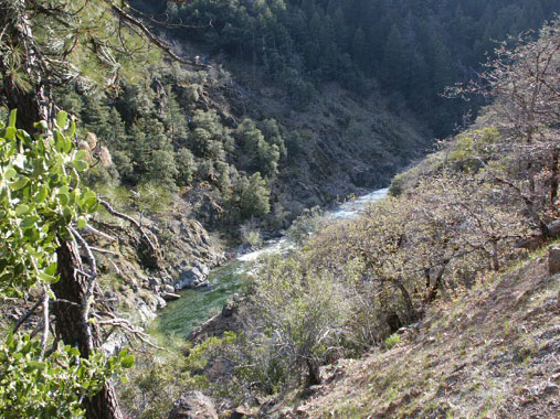
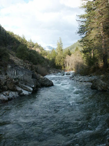
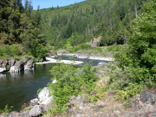
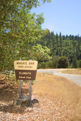
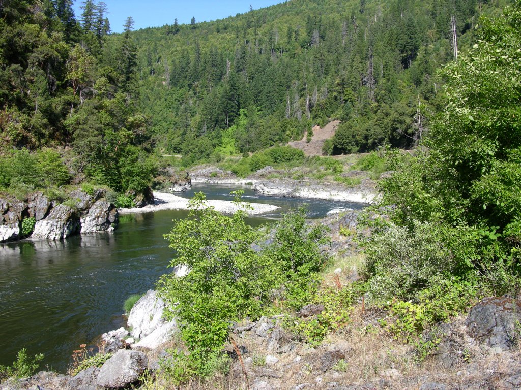
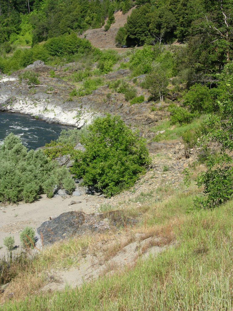
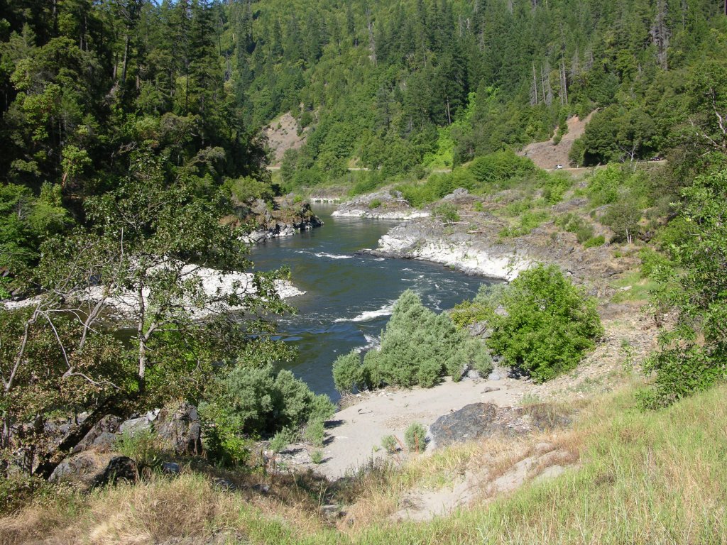
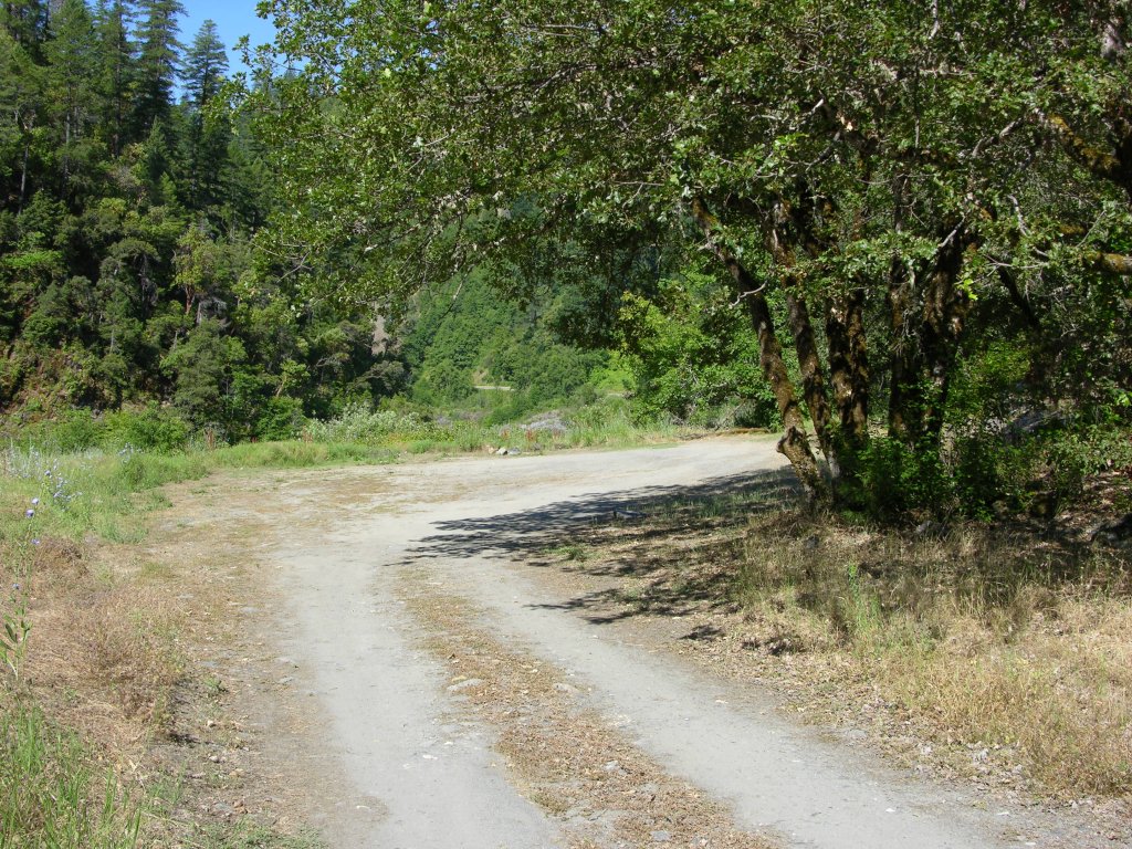
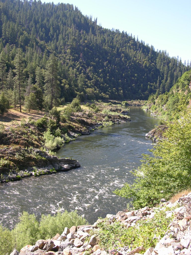
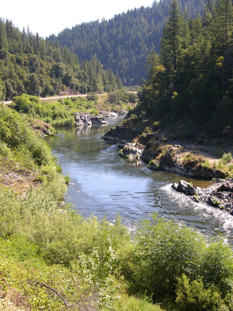
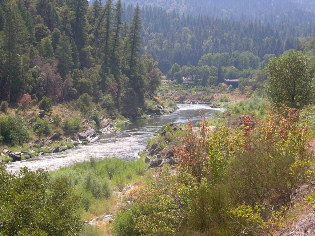
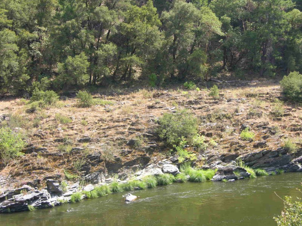
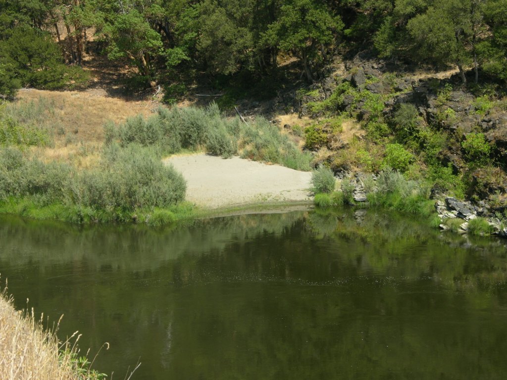
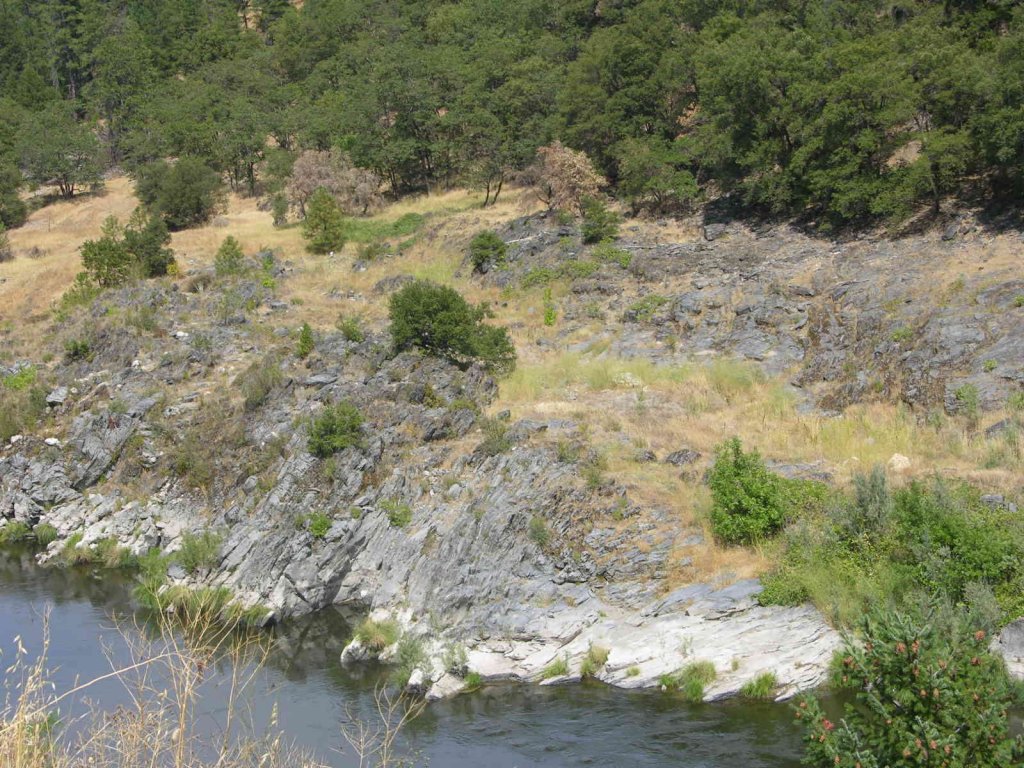
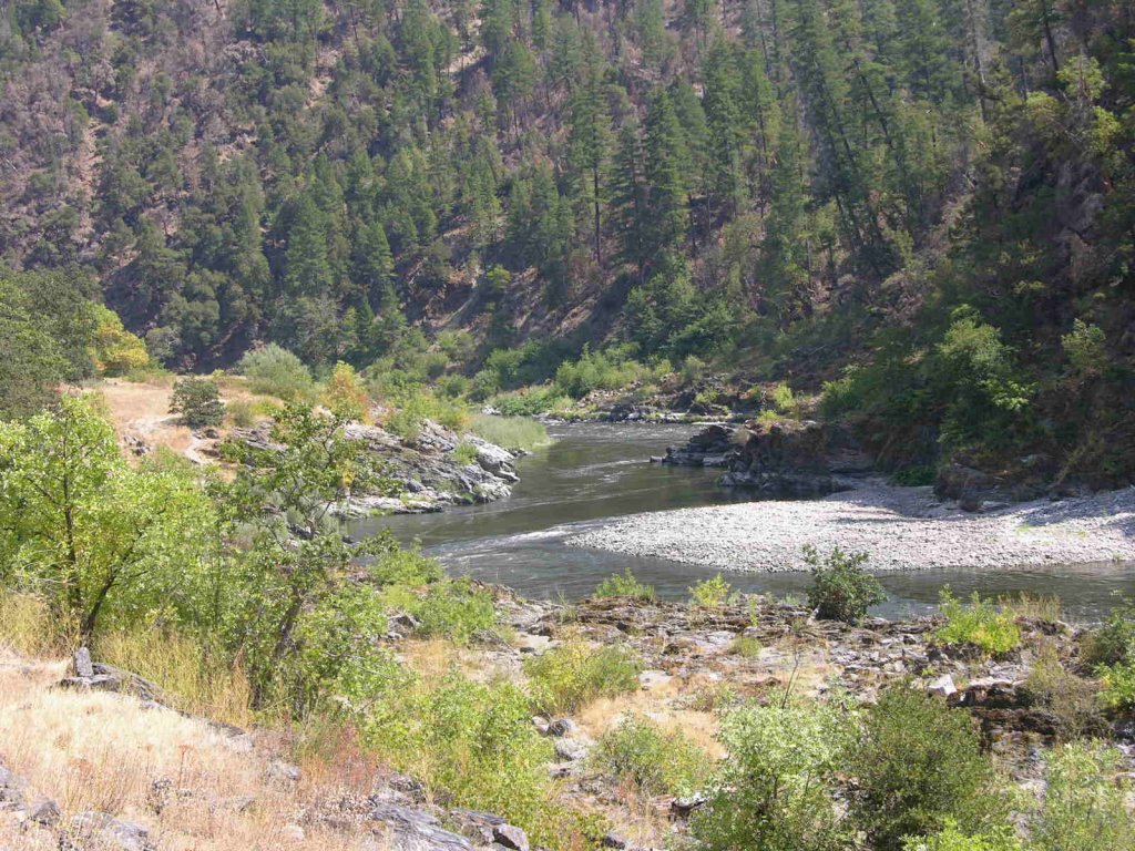
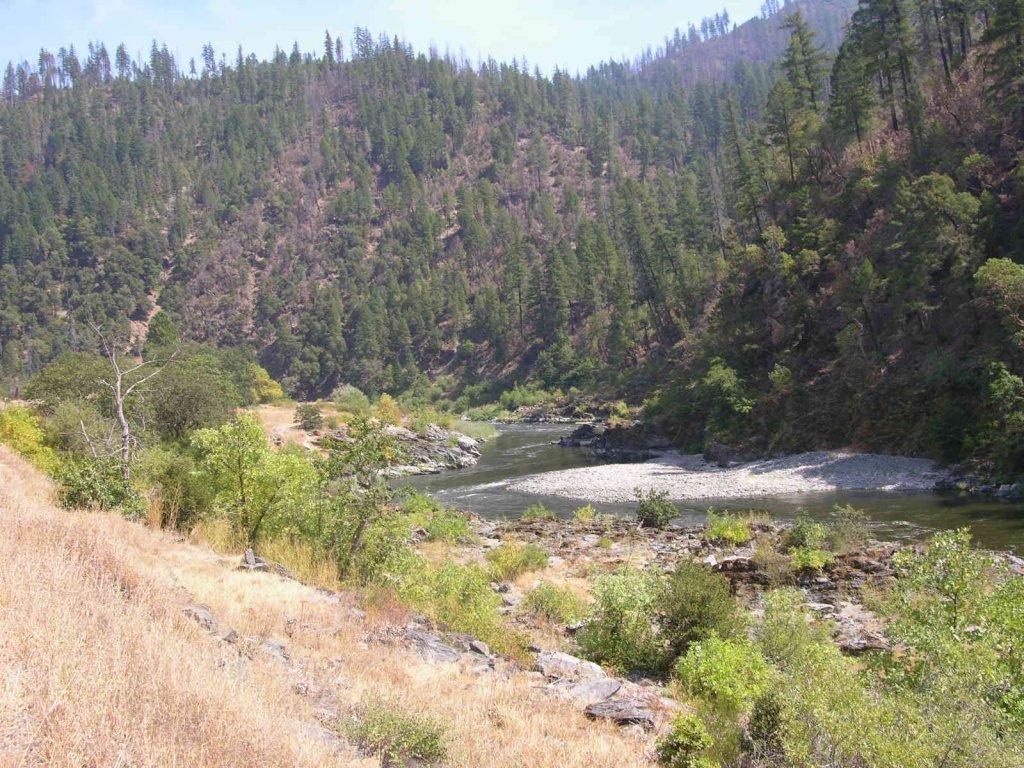
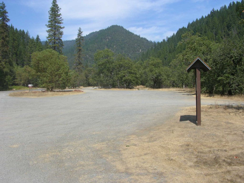
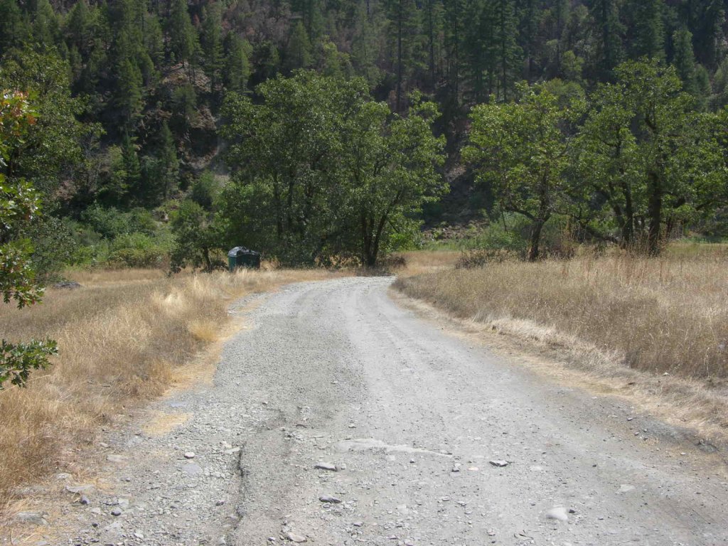
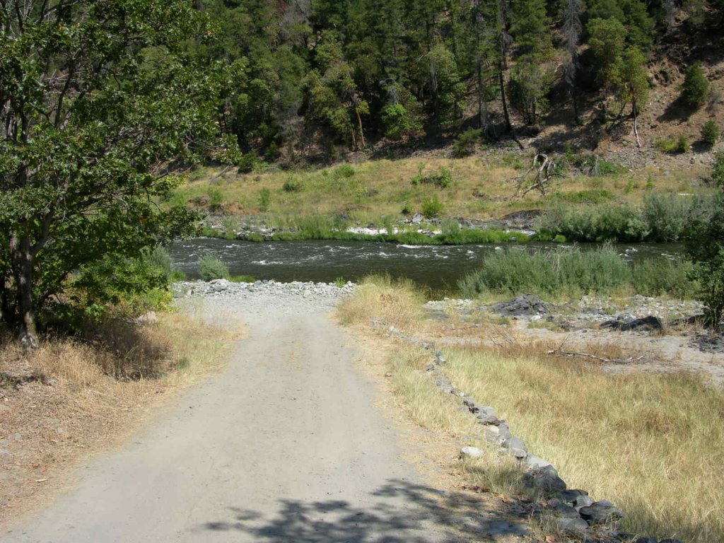
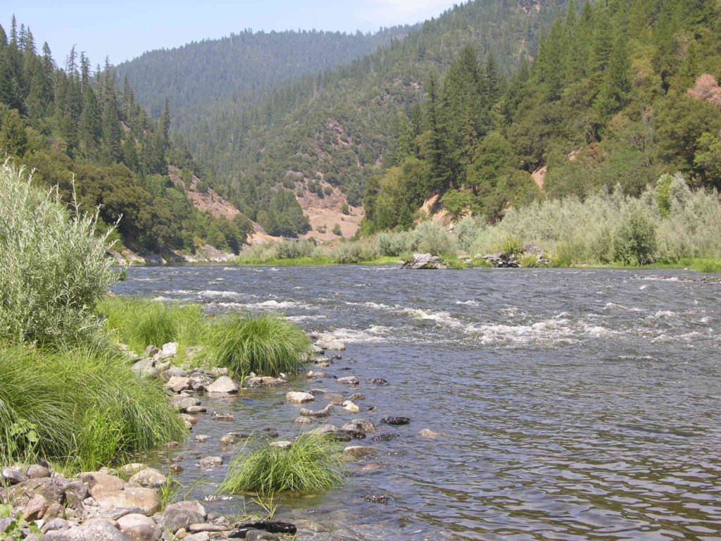
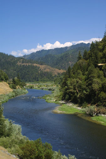
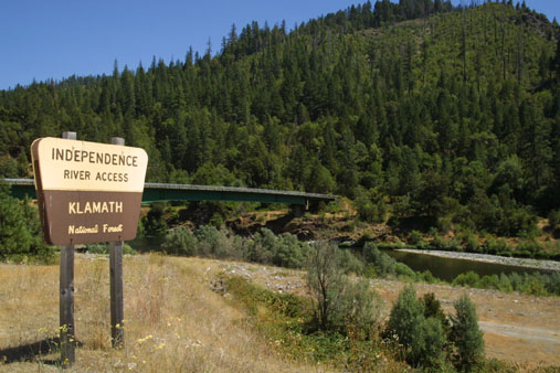
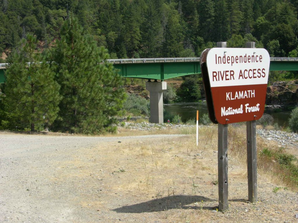
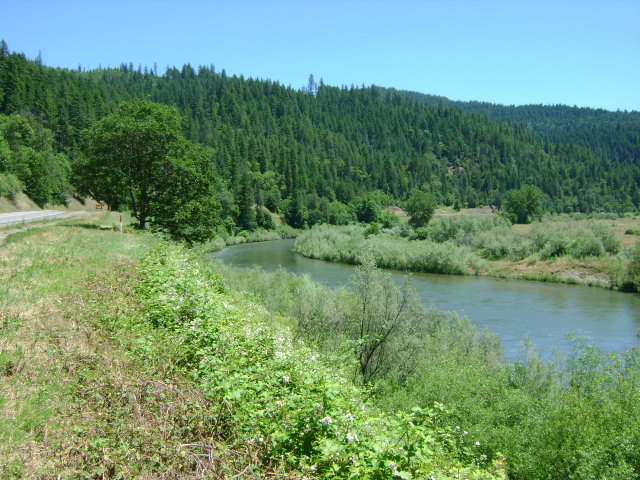
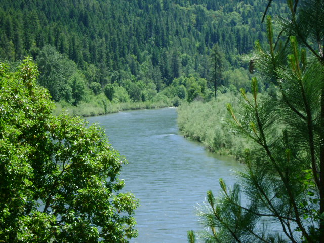
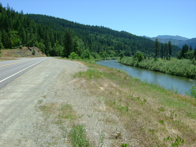
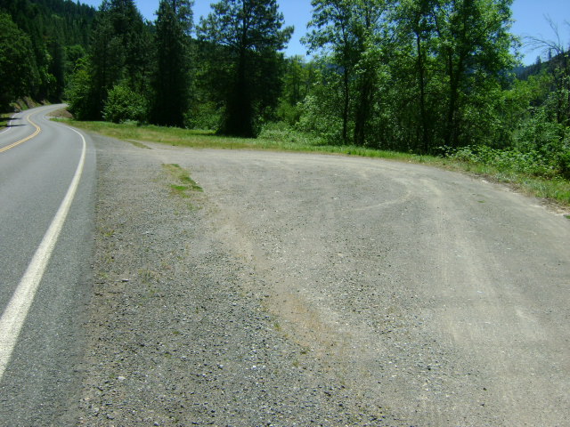
K-20 RICHARDSON BEDROCK CLAIM – The downriver boundary is down behind the old logging mill (private property). The upriver boundary (mile marker 43.53) is 7/10 of a mile upstream from the lower boundary, at the confluence Cade Creek, which is just downstream from the Klamath River Resort Inn. The far side of the river is private property owned by the local Native American Indian tribe. Access must be made from the Highway-96 side of the river. There is a trail leading to the river from a road pull-off toward the upper end of the claim.

Here it is on Google Earth

IMPORTANT NOTE: Between June 15 and October 15, there will be no dredging within 500 feet of Cade Creek at the upper end of K-20.

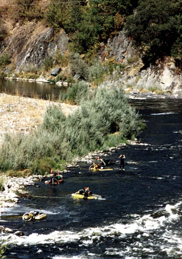
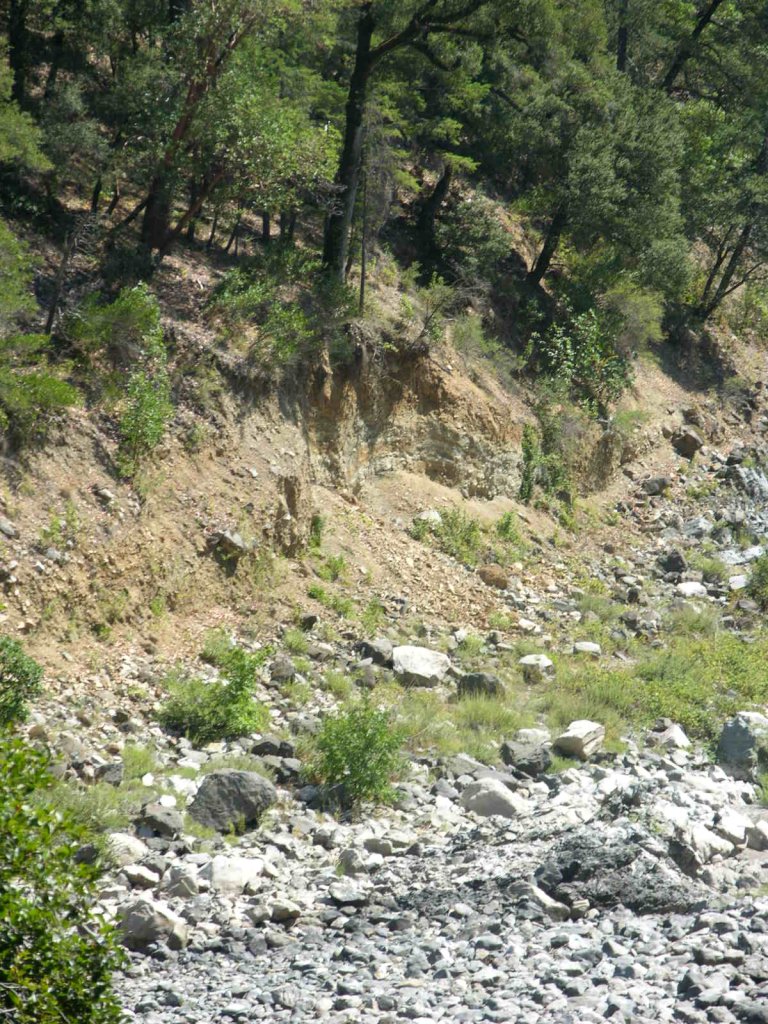
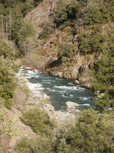
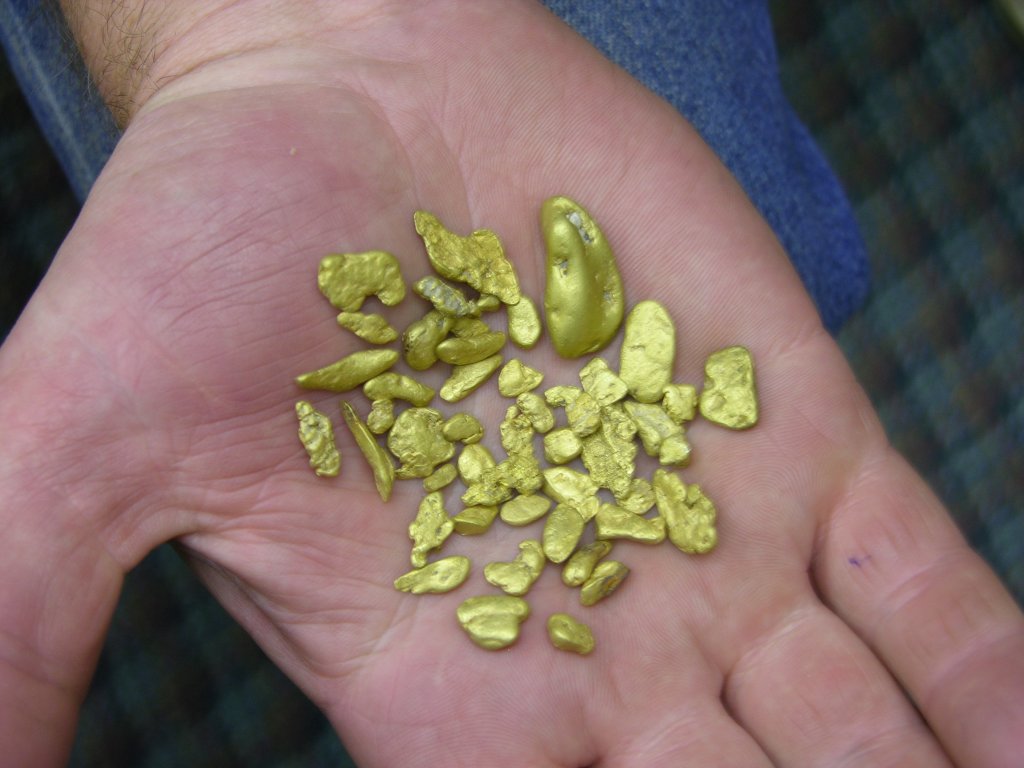
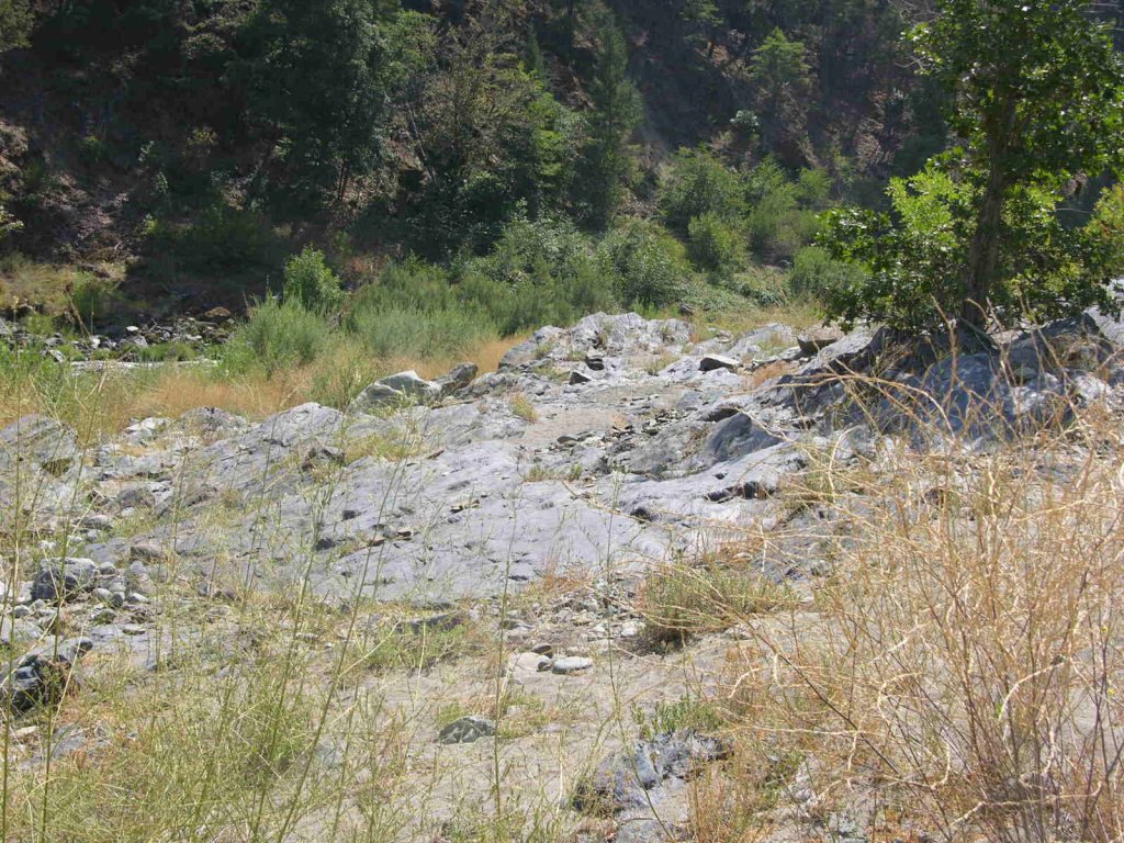
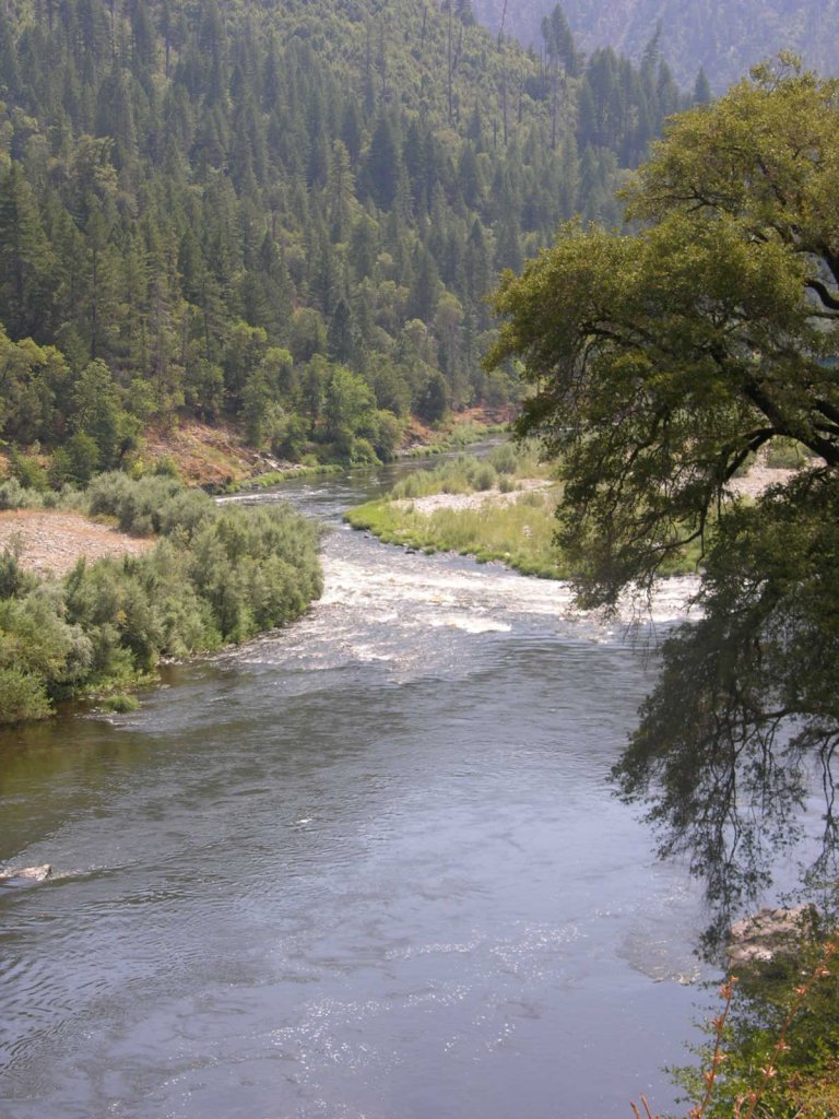
PROSPECTS: Members have found gold by dredging on the Highway-96 side of the river, toward the channel. Bedrock is shallow on this side of the river and has cracks and irregularities which contain flakes and nuggets. Only a small amount of work has been done. Best results have been obtained near where the exposed bedrock meets the gravel, out towards the river-channel. A few test holes have been dredged towards the far bank, with some recovery of fine gold. More testing needs to be done all over this claim. Several years ago, several members floated their dredges down behind the old logging mill and located a rich patch of beautiful nuggets, some which were quite large, on shallow bedrock in the river there.

Click on thumbnail for larger image.

Map Thumbnail

Topo

Upper Klamath :: Upper-mid Klamath :: Mid Klamath :: Lower Klamath
Elk Creek :: Indian Creek :: Scott River :: Thompson Creek
Salmon River Main Stem :: Salmon River North Fork
Master List of Mining Properties


Important note concerning Mining & Dredging Seasons on this Property

Google Earth Coordinates: 41 47’33.5″N 123 22’2.0″W

To view the content from the link above you will need to have Google Earth installed on your home computer. Download Google Earth


K-21 HAPPY CAMP CLAIMS – The upper boundary adjoins our K-20 property just upriver from the old water pumping station for the Stone Forest Mill. The lower boundary adjoins the Club’s Curly Jack Claim a short distance downstream from the confluence on Indian Creek. The lower-end of this claim is accessible from both sides of the river, with the exception of a few parcels of private property which are clearly visible. To access the far side of the river, cross the Klamath River bridge just below Happy Camp and turn left on China Grade road. There is an access road 4/10 of a mile up China Grade Road from the bridge. The access road (may require some brush-cutting) cuts off to the left, just beyond a house. There is a small campground at the end of the road. The claim is also accessible from the Happy Camp Community Park-down by the Lions Club. The upper portion of the claim, for the most part, is difficult to access, because the old mill property is a barrier between the river and Highway 96.

Here it is on Google Earth

PROSPECTS: Some dredgers recovered a large volume of gold on the upriver potion of the claim on the Highway-96 side of the river, in shallow gravel. They recovered lots of jewelry gold and large nuggets. A few members did some testing just below, during the early years of the Club. But they gave it up due to the difficult access. Several very rich pay-streaks have been previously discovered in the center of the river near the confluence of Indian Creek.

High-banking and Loving It. “Rip” Ripple’s story

Click on thumbnail for larger image.

Map Thumbnail

Topo

Map Thumbnail

3D Down

Map Thumbnail

3D Up

Map Thumbnail

Aerial

Map Thumbnail

Satellite

Upper Klamath :: Upper-mid Klamath :: Mid Klamath :: Lower Klamath
Elk Creek :: Indian Creek :: Scott River :: Thompson Creek
Salmon River Main Stem :: Salmon River North Fork
Master List of Mining Properties


Important note concerning Mining & Dredging Seasons on this Property

Google Earth Coordinates: 41 18’56.6″N 123 11’0.7″W

To view the content from the link above you will need to have Google Earth installed on your home computer. Download Google Earth


SAN-3A The lower-end of this claim is located 10.6 miles upriver from Forks of the Salmon. Look for a U.S. Forest Service sign that says “Garden Gulch Trail.” Club signs are posted on trees along the river-side of the Salmon River Road. There is an access road located around 1/10th of a mile down river from our lower boundary. Watch for the access sign on a tree. The access road leads to our claim and a nice camping area. The claim is about a ¼-mile long, and includes a lot of river diversity such as rapids and pools.

Click on thumbnail for larger image.

Map Thumbnail

Topo
 

Upper Klamath :: Upper-mid Klamath :: Mid Klamath :: Lower Klamath
Elk Creek :: Indian Creek :: Scott River :: Thompson Creek
Salmon River Main Stem :: Salmon River North Fork
Master List of Mining Properties


Important note concerning Mining & Dredging Seasons on this Property

Google Earth Coordinates: 41 19’5.8″N 123 10’17.5″W

To view the content from the link above you will need to have Google Earth installed on your home computer. Download Google Earth


SAN-4 – Big Flat is located around 12 miles up the North Fork from the Forks, just upstream from the Little North Fork of the Salmon River. Watch for a very nice (private) ranch property where the Little North Fork crosses the Salmon River road. You will see our lower boundary sign posted on a tree upriver a little ways. The upper boundary is posted near Kelly Gulch. There is room for some shaded camping up Kelly Gulch. Long-term camping is allowed at this location. Access is pretty good along a lot of this claim.

There is an old access road down to the gravel bar on the upper portion of the claim. But it has been blocked to prevent the spread of noxious weeds that apparently exist there. Please do not unblock the access.

Click on thumbnail for larger image.

Map Thumbnail

Topo


Important note concerning Mining & Dredging Seasons on this Property

Google Earth Coordinates: 41 44’42.4″N 123 24’5.1″W

To view the content from the link above you will need to have Google Earth installed on your home computer. Download Google Earth


K-22 CURLY JACK, CHAMBERS FLAT AND LOWER CANYON CLAIMS – are a very long stretch of claims, adjoining our K-21 property a short distance downstream of confluence of Indian Creek in lower Happy Camp (toilet and river access available here). Since there is private property between Highway 96 and the Klamath River in this area, most members access the upper portion of these claims from Elk Creek road and Curly Jack road on the far side of the river. There is a Forest Service Fee campground on Curly Jack road, and there is also a developed river access down at the confluence of Elk Creek. We ask members to not dredge within 100 feet of the beach at Curly Jack campground. The lower boundary (mile marker 35.95) is located five miles below town, well down into a deep canyon. The sign is posted on a tree alongside Highway 96, across from a short parking pull-off at Doolittle Creek. We have a substantial developed Club campground, with two access roads, located about 1-1/2 miles below Happy Camp on Highway 96. The campground is called “Chamber’s Flat”. Downriver from Chamber’s Flat campground, you will notice a few parcels of private property between Highway 96 and the river. The deep canyon begins just downriver from the private property. Some paths and trails have been created to gain access to the canyon areas. On the far side of the river, 4-1/2 miles below town, you will see an old hydraulic mining cut-which has been good for metal detecting.

Here it is on Google Earth

IMPORTANT NOTE: Between June 15 and October 15, there will be no dredging within 500 feet of the mouths of Little Grider or Elk Creeks, or within 500 feet upstream or 1,500 feet downstream of Indian Creek.

PROSPECTS: These claims have been proven to produce rich gold deposits from top to bottom, with members recovering many, many ounces during the past several years. A lot of dredging was done upriver from Curly Jack campground, in and around the rapids, several years ago. The area around the confluence of Elk Creek also received a great deal of attention. There has been some productive dredging activity in and around the upper end of the lower canyon. But for the most part, the remainder of this long stretch of claims has not been prospected or mined-and the prospects are exceptional.

Click on thumbnail for larger image.


Map Thumbnail

Topo

Upper Klamath :: Upper-mid Klamath :: Mid Klamath :: Lower Klamath
Elk Creek :: Indian Creek :: Scott River :: Thompson Creek
Salmon River Main Stem :: Salmon River North Fork
Master List of Mining Properties


Important note concerning Mining & Dredging Seasons on this Property

Google Earth Coordinates: 41°43’48.46″N, 123°26’2.94″W

To view the content from the link above you will need to have Google Earth installed on your home computer. Download Google Earth

 K-23AA


This ¾-mile property, about 9.3 miles downstream of Happy Camp, is not far upstream from our Wingate Property. Look for our upper boundary sign on a tree just upstream from the large pull-off on the side of Highway 96 — located 200 feet downstream from mileage marker 34.78. The lower boundary is directly across from U.S. Forest Service Road 15N32.

Here it is on Google Earth

Here it is in reference to K-23A on Google Earth.

This is another area we have had our eyes on for many years, mainly because of the extensive stretches of exposed bedrock and high-banking opportunity on the far side of the river – especially for crevice mining both above and below the water.

There is also a sizable pull-off area along the side of Highway 96 for parking and camping directly on the property.

If you are planning to work this property, we suggest bringing a small boat, perhaps with a small motor. The best gold deposits will likely be found on the far side of the river.

PROSPECTS: This is a rich mining property which has been held in private hands since before we arrived on the Klamath River in 1984. The owners did not allow anyone to mining on the property, save for one old-timer that has been camping in the roadside pull-off, paddling a canoe over the far side of the river, and digging the gold out of exposed bedrock cracks every summer since at least 1984.

Click on thumbnail for larger image.
Img_0117 Img_0118 Img_0127 Img_0128 Img_0130 Img_0131 Img_0133 Img_0136 Img_0137 Img_0138 Img_0142 Img_0144 Img_0145 Img_0147 Img_0149 Main image
Topo

Upper Klamath :: Upper-mid Klamath :: Mid Klamath :: Lower Klamath
Elk Creek :: Indian Creek :: Scott River :: Thompson Creek
Salmon River Main Stem :: Salmon River North Fork
Master List of Mining Properties


Google Earth Coordinates: 41 43’47.46″N 123 26’30.15″W

To view the content from the link above you will need to have Google Earth installed on your home computer. Download Google Earth


K-23 WINGATE METAL DETECTING CLAIM – is located 6.8 miles downriver from Happy Camp. There is a big pull-off parking area on the river-side of Highway 96, directly across from Forest Service Road 15N32. Hike or drive 1/5 of a mile up this road to find the trail head (very primitive) on the right side (just to the left of where the phone line stretches across the road). There is room for one or two vehicles to park directly across from the trail head. Follow the trail uphill to locate a large old hydraulic mining area on several different levels. Watch out for poison oak along the trail. The trail requires substantial physical exertion.

Here it is on Google Earth

PROSPECTS: Members have had great luck in finding gold nuggets all over the hydraulic area using modern metal detectors. Rumor has it that one member did well up there using a dry-washer, but this is unconfirmed. It is a very large area and it is reasonable to assume that it has not all been covered well with electronic detectors. Therefore, the prospects are good for finding more gold nuggets on this claim.

Click on thumbnail for larger image.

Map Thumbnail

Topo

Upper Klamath :: Upper-mid Klamath :: Mid Klamath :: Lower Klamath
Elk Creek :: Indian Creek :: Scott River :: Thompson Creek
Salmon River Main Stem :: Salmon River North Fork
Master List of Mining Properties


Tags