

Important note concerning Mining & Dredging Seasons on this Property
Google Earth Coordinates: 41 16’42.9″N 123 16’1.1″W
To view the content from the link above you will need to have Google Earth installed on your home computer. Download Google Earth
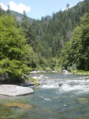
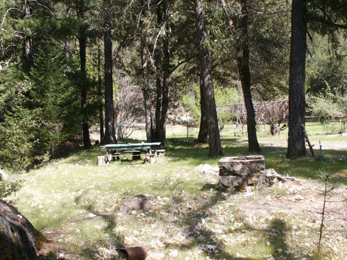
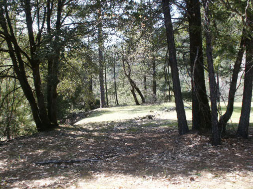
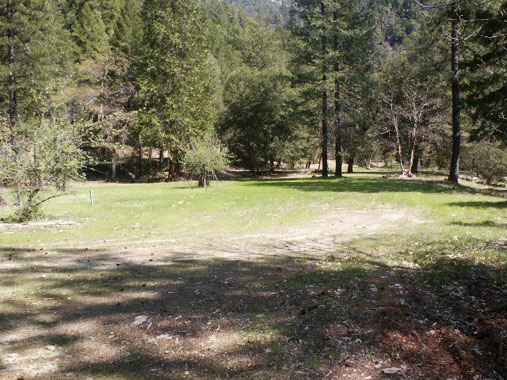
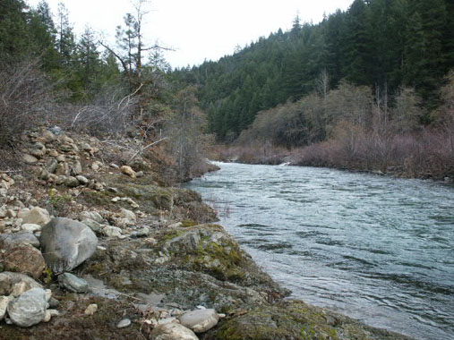
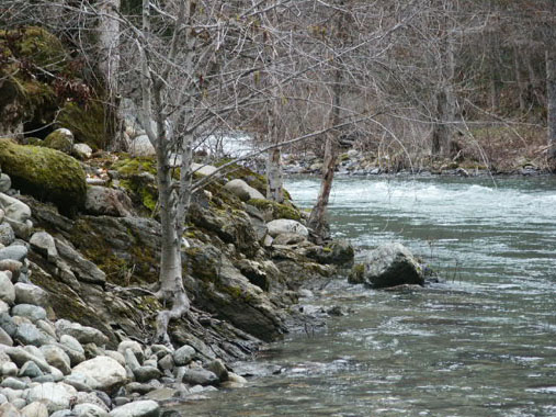
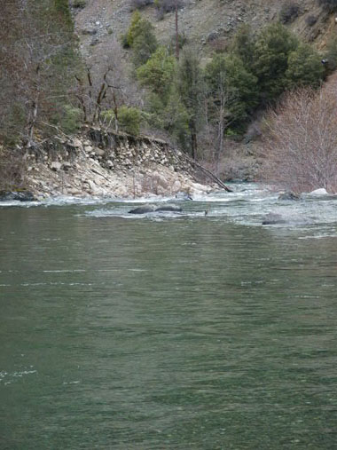
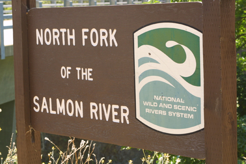
SAN-2 is located around 4 miles upstream on the North Fork from the Forks. Upper and lower boundaries are posted on trees alongside the Salmon River Road. There is a large flat area located along the lower end of the claim, which includes a good river access, and a lot of shaded area for camping. Long-term camping is allowed at this location. Look for the small sign that says: “Engine Fill site.”
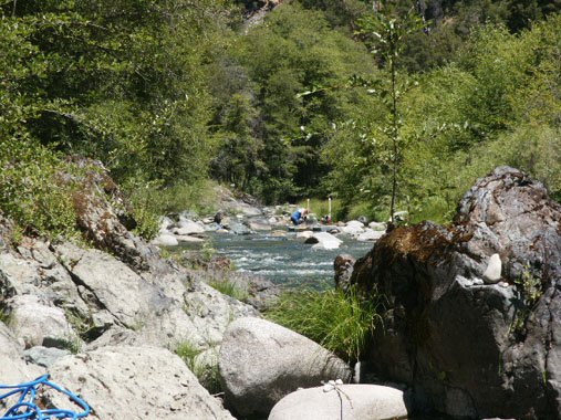
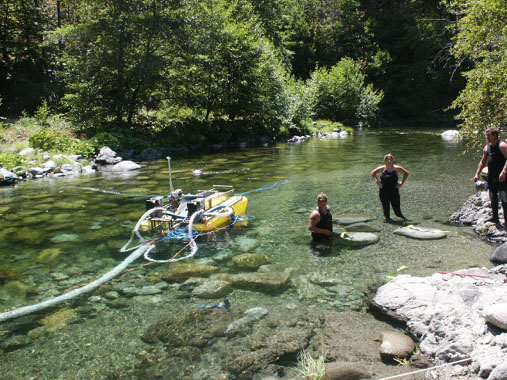
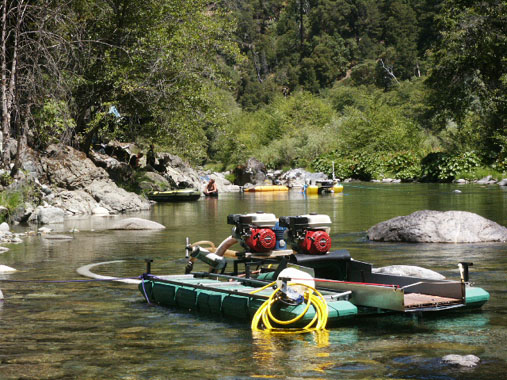
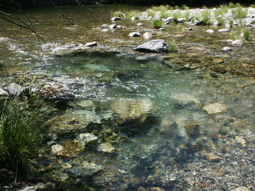
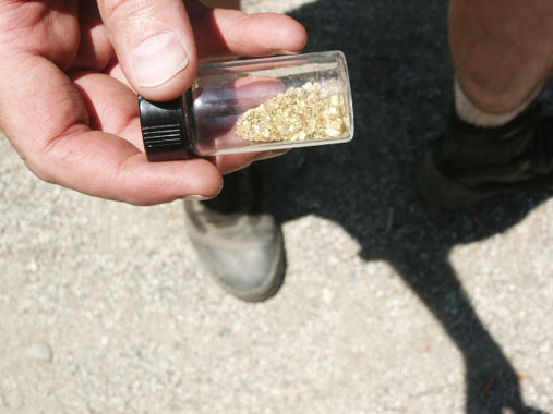
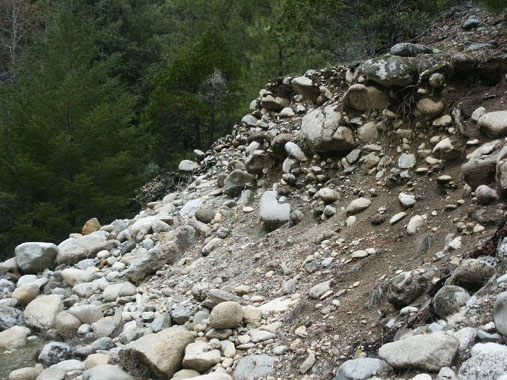
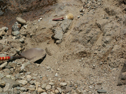
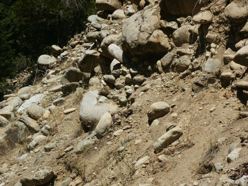
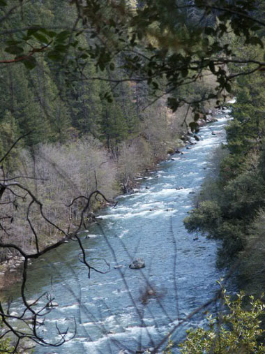
There is a lot of bedrock showing along the edge of the river. This area is great for panning. There is a lot of original streambed showing along-side the active waterway. The upper portion of the claim is less accessible, but there is a good trail extending down from the road. Look for one of our claim signs on a tree near the trail-head. One of the most interesting features about this claim is the appearance of original streambed material alongside the river for the entire length of the claim. As this is a proven very rich section of river, the natural streambed material is a good sign that rich values should be present. Several members have been dredging up there and finding pretty good gold. The water is generally shallow and clear. The streambed material usually is not very deep to bedrock.


