Important note concerning Mining & Dredging Seasons on this Property
Google Earth Coordinates: 41 43’56.0″N 123 0’30.9″W
To view the content from the link above you will need to have Google Earth installed on your home computer. Download Google Earth

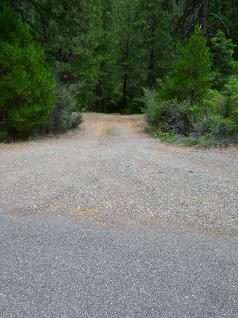
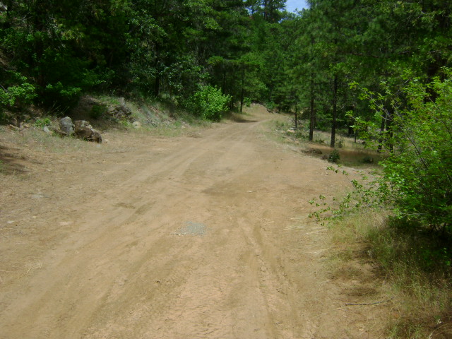
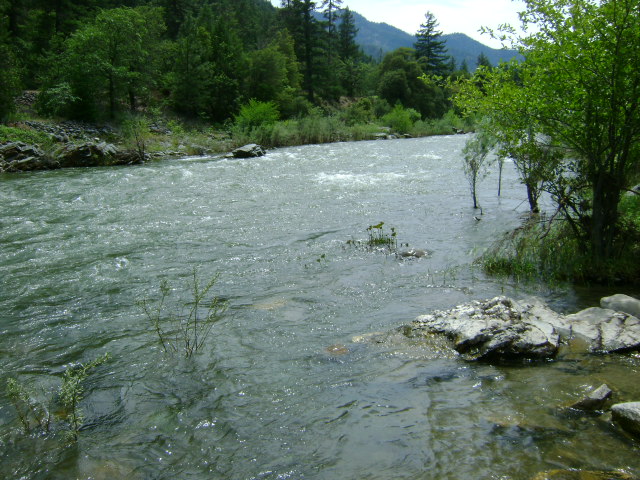
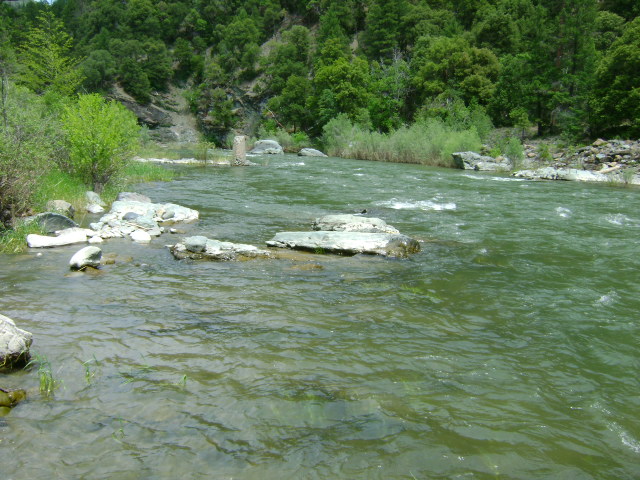
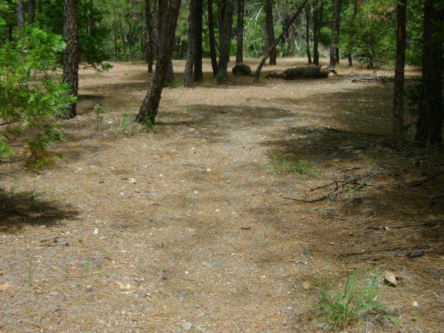
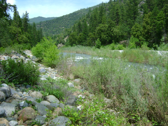
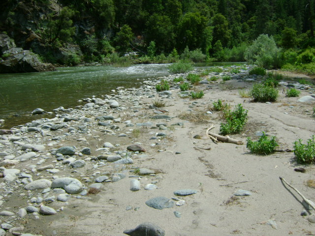
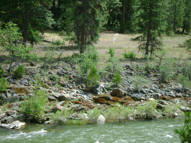
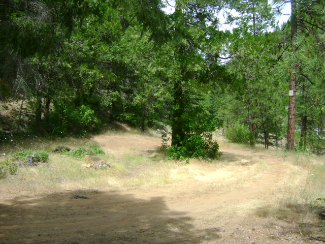
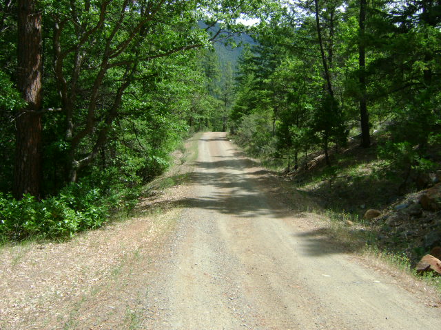
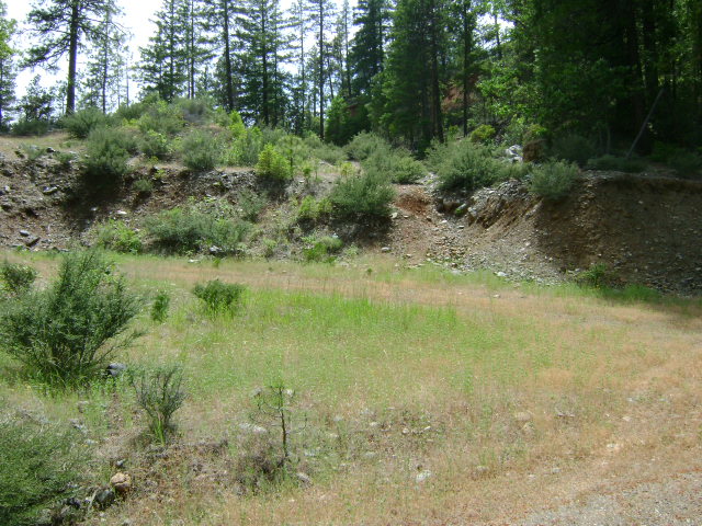
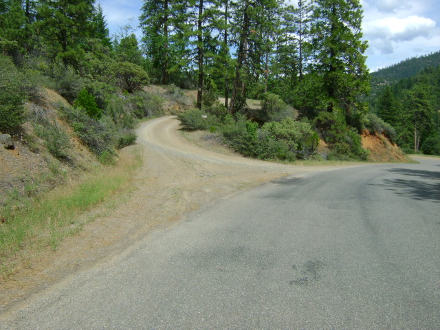
S-1 UPPER SCOTT RIVER CLAIM – The lower boundary of this property is located 3.4 miles up the Scott River Road from the junction with Highway 96. But private property prevents access from the road that far down the river. Watch for our claim sign on a tree along the left side of the Scott River Road 3.9 miles up the road. Just beyond the sign, there is a primitive access road that leads down to the river. The access road is narrow and bumpy. You might want to look before you drive in. Please leave room for others to turn around at the bottom of the road. The lower boundary adjoins private property along the river. Watch for the appropriate posted signs. The upper boundary sign is posted on a tree alongside the river, just downriver from another access road with a cabin near the river (left turn 4.1 miles up the Scott River Road). The sign is posted around 200 feet downstream from the parking area near the cabin. There is an upper access road (goes in the direction away from the river) not much more than a few hundred feet further up the road on the right side. Look for our sign on a post. This is Forest Service road #45N16. You will find a primitive path on the left side, about 1/10 of a mile up this road. The path leads to an old hydraulic dig, which is one of our more popular electronic detecting areas. Actually, a recent wildfire has opened this entire upper side to prospecting because the brush and most of the trees have been burned away. There is camping 2/10 of a mile further up this road. Our claim up in this area adjoins private property just a bit further up the road. Watch for the posted signs. Because the river is relatively narrow, members may claim dredging areas 60 feet long, extending all the way across the river. (Dredging claims on the Klamath River only extend out to the middle of the river.)
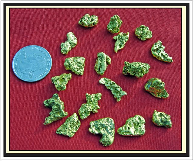
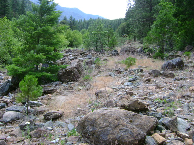
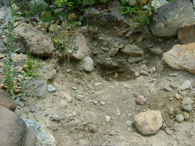
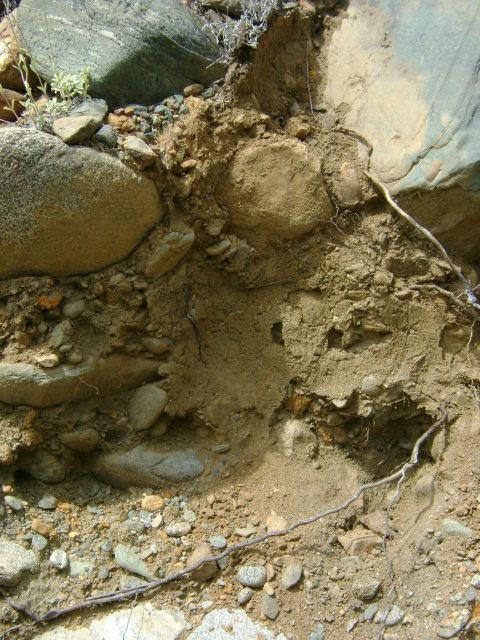
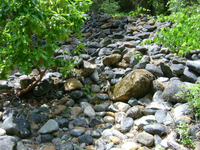
PROSPECTS: There has been just a little work on the lower end, along the river. Members have been finding gold nuggets and jewelry-gold in the river, alongside the bank, just at the bottom of the access road. There’s a path that leads directly to where they were dredging. They said the gold came out from around the boulders. Several other members had very good luck about a quarter-mile downriver, around the corner, at the base of a set of rapids. They were also finding nice-sized jewelry gold, up to half-ounce sized nuggets, in and around the boulders. They finally gave up for lack of having a mechanical winch to help move the boulders around. The prospects on this claim look very good. The upper claim area, up into the old hydraulic workings (and some of the gulches leading down to the river), has been producing gold nuggets for members using metal detectors.One member was metal detecting for gold on the upper area above the road; found some ancient streambed that the Old-timers missed; and returned with a zip lock bag full of beautiful gold nuggets. As hard as everyone tried, we could never get him to show the location of his secret hot spot.