

Important note concerning Mining & Dredging Seasons on this Property
Google Earth Coordinates: 41 49’51.5″N 122 57’25.9″W
To view the content from the link above you will need to have Google Earth installed on your home computer. Download Google Earth
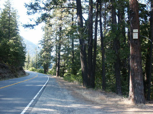
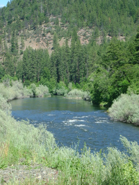
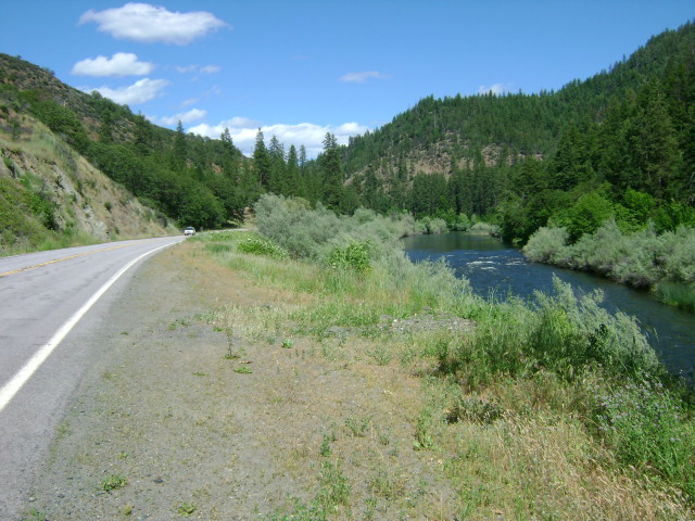
K-5 TEN SPOT CLAIM – The upper boundary is located at mile marker 79.00, and the lower boundary is located at mile marker 78.65. The boundary signs are well posted on trees alongside Highway 96. Access is reasonably easy.
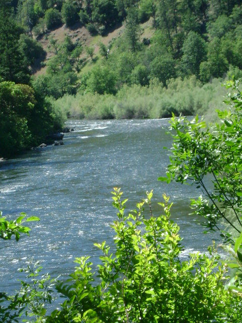
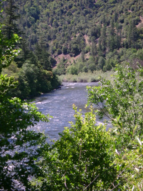
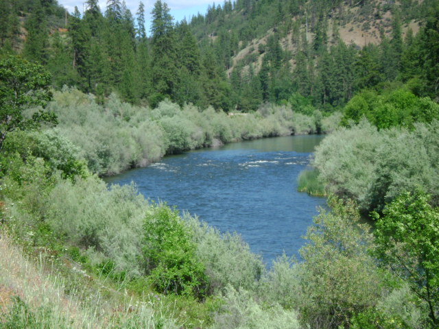
PROSPECTS: This claim is located just upriver from our Brown Bear claims (K-6) which are producing very well, so the prospects are promising.
Click on thumbnail for larger image.

Topo

3D Down

3D Up

Aerial

Satellite


