Important note concerning Mining & Dredging Seasons on this Property
Google Earth Coordinates: 41 48’22.9″N 123 1’0.8″W
To view the content from the link above you will need to have Google Earth installed on your home computer. Download Google Earth
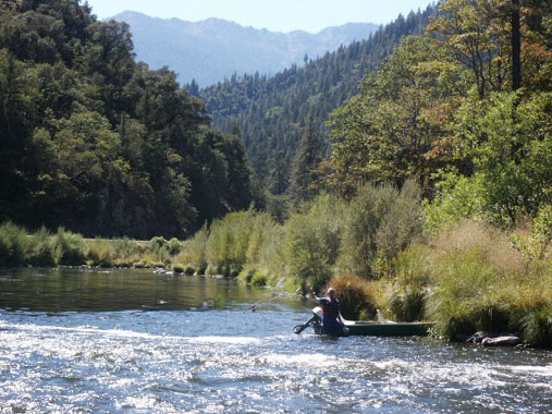
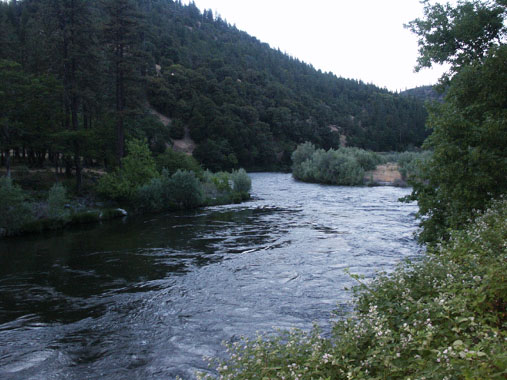
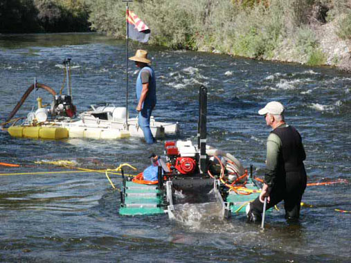
K-7 KINSMAN CREEK CLAIMS – are located at the confluence of Kinsman Creek, which is two miles up the Klamath from its confluence with the Scott River. Kinsman Creek is not marked with an official sign, but it is a visible creek which enters the Klamath from the Highway 96-side. The upper boundary (near mile marker 74.00) butts up to posted private property at the lower end of the first gravel bar upstream from Kinsman Creek. The lower boundary (near mile marker 73.60) is clearly posted on a tree alongside the highway. Access to the river is reasonably easy.
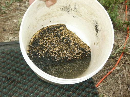
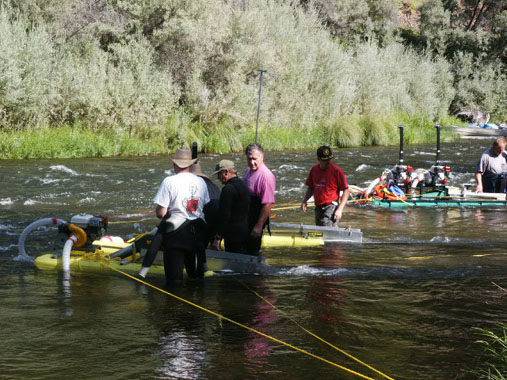
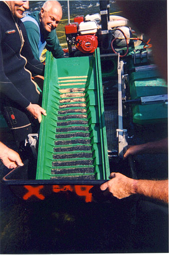
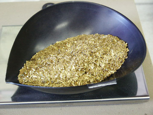
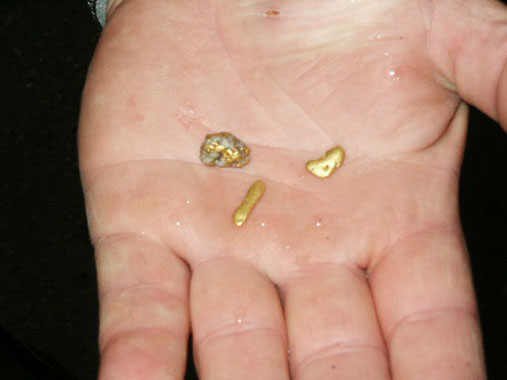
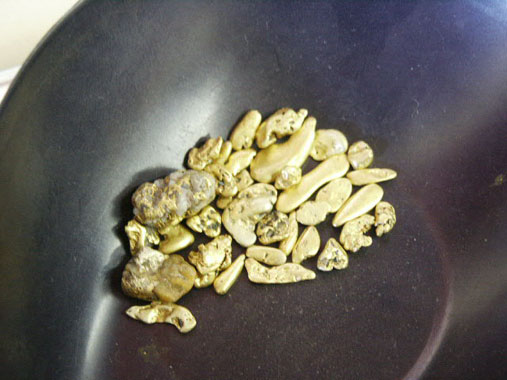
PROSPECTS: Members have been doing really well dredging on this claim at the top end, in and around the river bend, and at the lower end. So far, very little work has been done in-between. There is a lot of fine gold throughout all the streambed material on these claims. The highest-grade deposit we know of was recovered off the top of a cemented gravel layer near the bedrock towards the upper end of the claim. There are nuggets. The Club sponsored a Group Dredging Project on K-7, and recovered around 7 ounces of gold in around 5 days of work. You can read about the adventure Here.
Then we followed up with yet another great adventure, recovering another six ounces of beautiful gold. This exciting story with free video segments can be found Here