Important note concerning Mining & Dredging Seasons on this Property
Google Earth Coordinates: 41 39’30.1″N 123 19’5.2″W
To view the content from the link above you will need to have Google Earth installed on your home computer. Download Google Earth
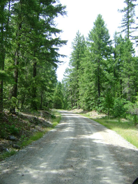
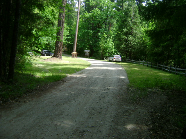
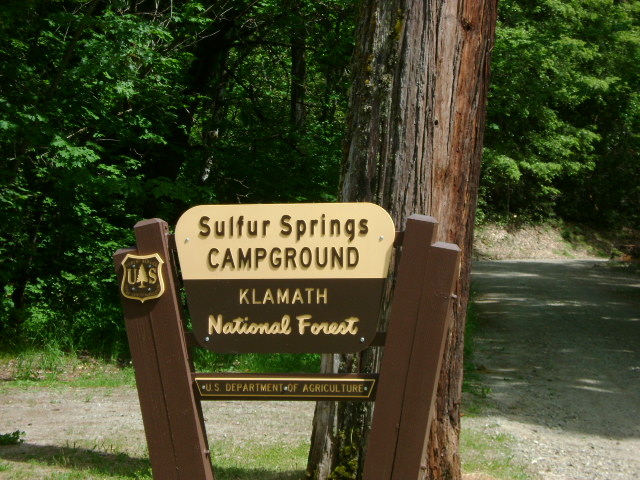
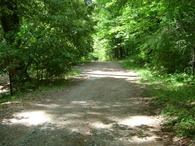
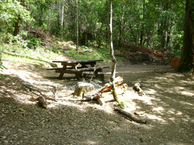
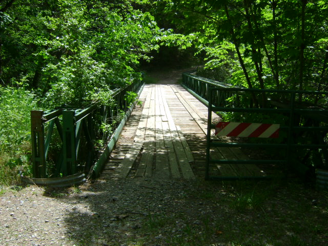
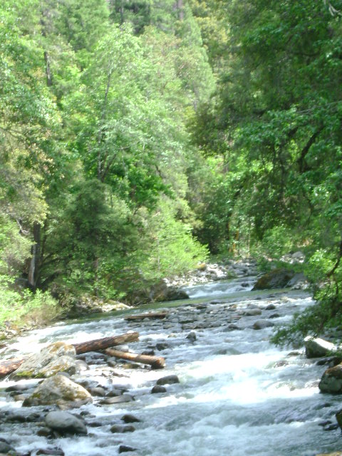
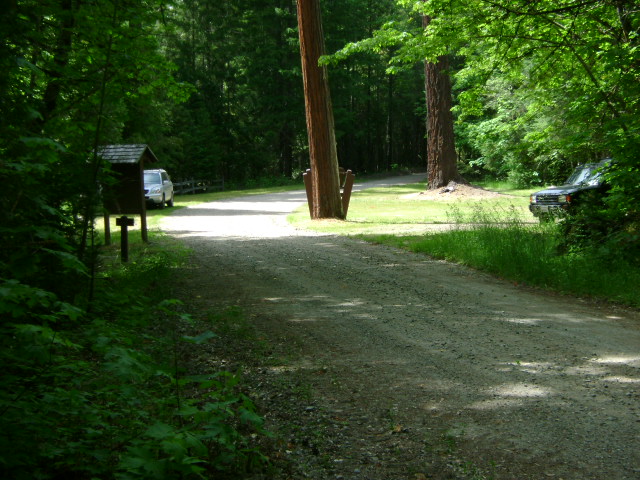
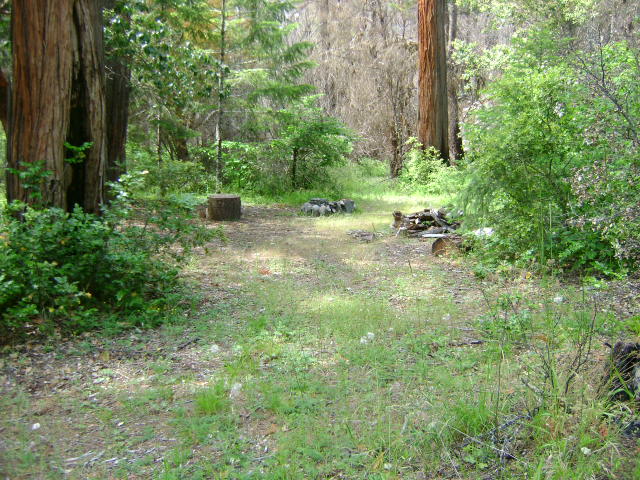
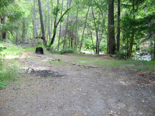
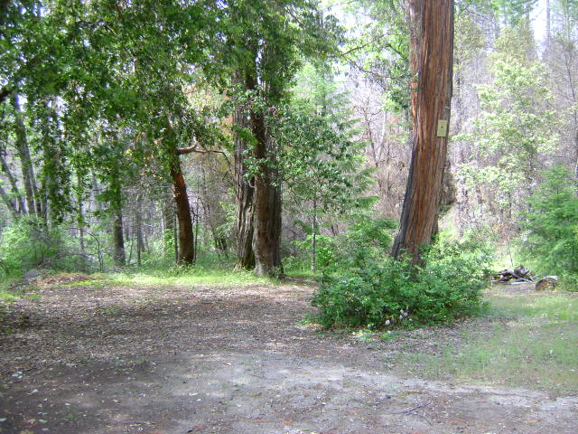
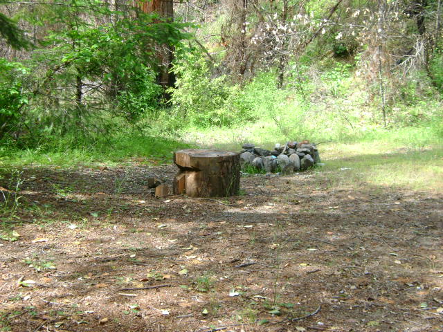
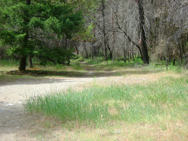
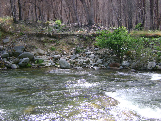
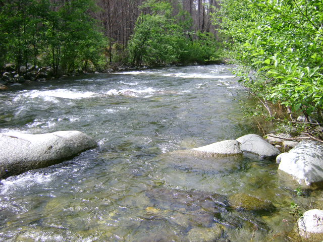
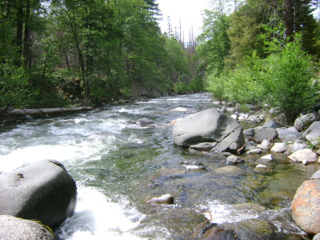
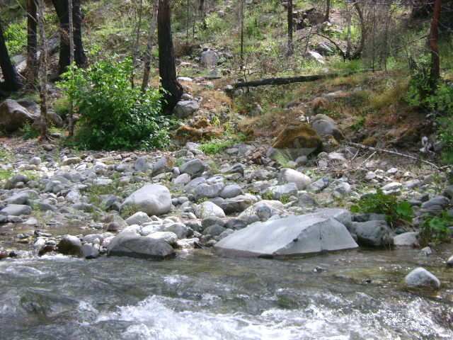
E-5 ELK CREEK CLAIMS AT SULPHUR SPRINGS – can be located by driving up Elk Creek Road three miles beyond the 10-mile bridge. Follow the signs leading to Sulphur Springs-which is located at the lower end of our claims. Because Sulphur Springs is a popular area for other outdoor recreation enthusiasts, we ask you to not camp or mine in the immediate special staging vicinity. There are several access roads and camping areas further upstream. The upstream boundary is posted one mile further up the road from Sulphur Springs. The lower boundary is posted on a tree near the staging area at Sulphur Springs. If the Forest Service gate is closed, blocking access to the upper portion of the claim, the combination to our lock on the gate is 4444. Please keep the gate locked after you pass through.
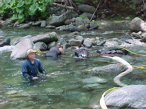
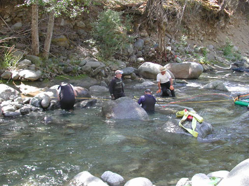
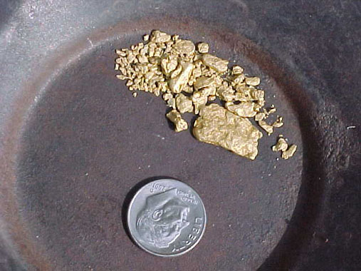
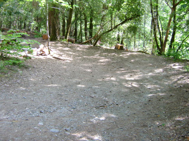
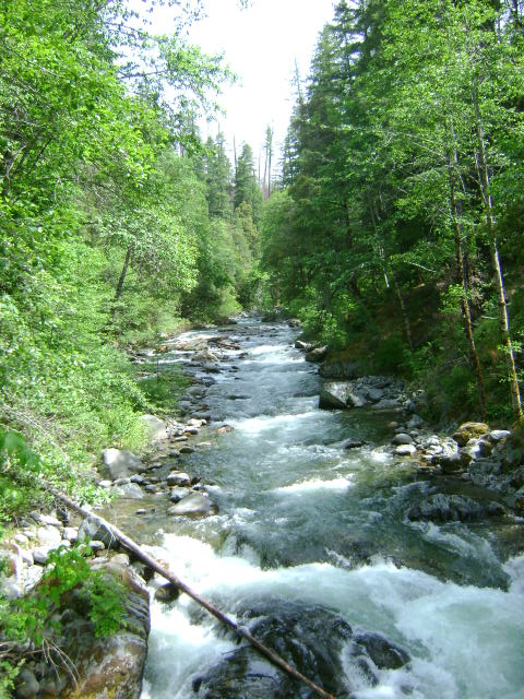
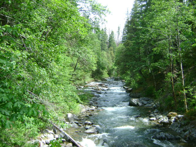
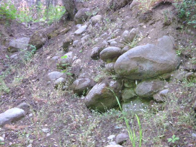
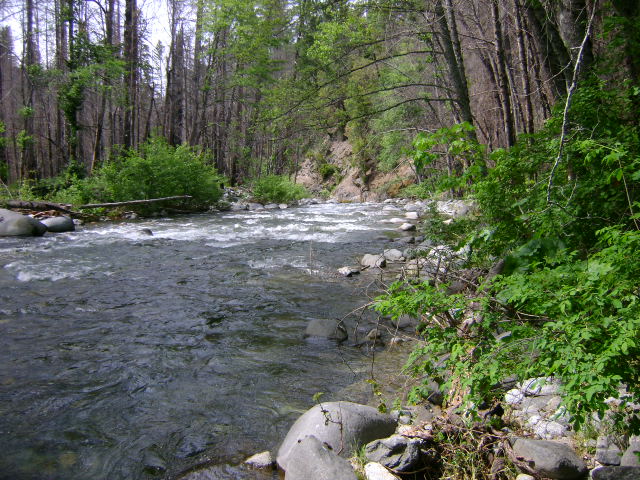
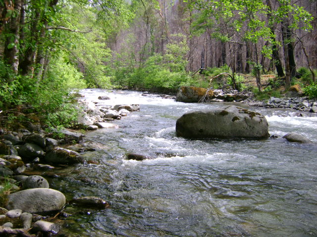
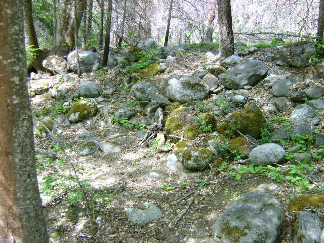
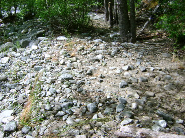
PROSPECTS: Several members have spent substantial time dredging on these claims and have been finding gold nuggets on the bedrock. The bedrock is shallow in places, and is accessible by rolling one layer of boulders back. You are looking for hard packed streambed in and around the boulders. Our first Group Dredging Project was done on this claim. You can read about it HERE.