State Land area open to suction dredging under a General Authorization by Department of State Lands and a Water Quality Permit issued by the Department of Environmental Quality
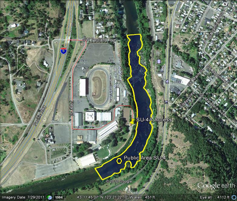
GOOGLE EARTH COORDINATES: To view the content from the location links below you will need to have Google Earth installed on your home computer. Download Google Earth
UPSTREAM: 43 11’32.23″N, 123 21’27.12″W
DOWNSTREAM: 43 11’56.59″N, 123 21’18.54″W
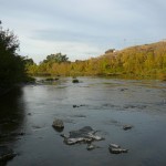
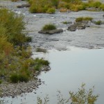
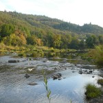
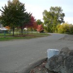
This location is in Douglas County proper, just outside of Roseburg city limits and is just over a half mile in length. The public area takes in from bank to bank, the entire width of the river. The location encompasses a large portion of the Douglas County Fairgrounds. There is ample parking, and a boat ramp at this location. There is also an RV park at this location that is run by the Fairgrounds. This is a day use area, and the gates do get locked. Check with the fairgrounds office @ 541 957-7010 for the open hours because they are subject to change. Here is their website.
This location shares a common downstream boundary with location SU-3 and a common upstream boundary with SU-5
Access Point SU-4-A
GOOGLE EARTH COORDINATES: 43 11’40.64″N, 123 21’18.87″W
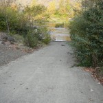
This access point is the paved boat ramp located on the Douglas County Fair Grounds. There is plenty of parking, but it is a day use area and the gates do get locked. There is lots of shallow and exposed bedrock in this area.
Upper Klamath :: Upper-mid Klamath :: Mid Klamath :: Lower Klamath
Elk Creek :: Indian Creek :: Scott River :: Thompson Creek
Salmon River Main Stem :: Salmon River North Fork
Master List of Mining Properties


