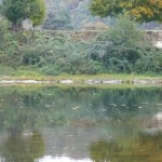
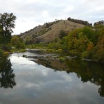
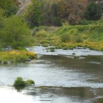
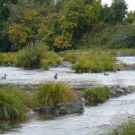
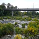
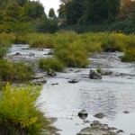
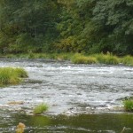
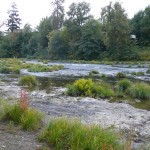
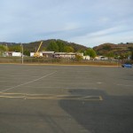
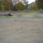
State Land area open to suction dredging under a General Authorization by Department of State Lands and a Water Quality Permit issued by the Department of Environmental Quality
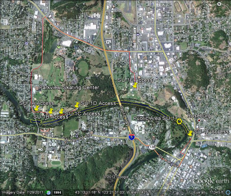
GOOGLE EARTH COORDINATES: To view the content from the location links below you will need to have Google Earth installed on your home computer. Download Google Earth
UPSTREAM: 43 12’51.72″N, 123 20’38.20″W
DOWNSTREAM: 43 12’58.04″N, 123 22’33.94″W
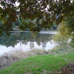
This public area is only the north-half of the river, from the north bank to the center of the river only. The location is in the City of Roseburg and takes in almost two miles of river front. The stretch of river encompasses the four city parks of Deer Creek Park, Gaddis Park, River Front Park & Stewart Park (see access points below).
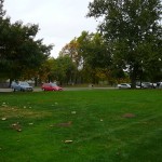
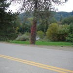
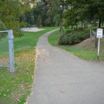
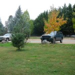
There is plenty of parking at Stewart Park and Gaddis Park with an access path along the entire river front length.
Important note: The city noise ordinance must be followed; mufflers required and operating hours are 7am-to-7pm Mon-Sat, No dredging allowed on Sundays and Holidays. Cigarette smoking and the consumption of alcohol are not allowed in Roseburg city parks and violators will be cited. It is important that you remain within the confines of the public property, because it is surrounded by private property.
Access Point SU-1-A
GOOGLE EARTH COORDINATES: 43 13’03.24″N, 123 22’29.38″W
This access is a paved parking area in Stewart Park, on Stewart Park Dr., a little over 400ft away from the river. All equipment and gear will have to be hand-packed across the park lawn to the river bank. There is an unbelievable amount of exposed bedrock visible at this location.
Access Point SU-1-B
GOOGLE EARTH COORDINATES: 43 13’01.72”N, 123 22’18.91W
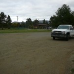
This access point is a gravel parking area in Stewart Park, on the north side of Stewart Park Dr., just under 300ft away from the river. All equipment and gear will have to be hand-packed to the river bank. There is also an unbelievable amount of bedrock visible at this location.
Access Point SU-1-C
GOOGLE EARTH COORDINATES: 43 13’01.65″N, 123 22’11.21″W
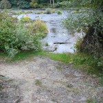
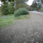
This access point is in Stewart Park and is a gravel shoulder on the south side of Stewart Park Dr., less than 90ft from the river bank. There are short paths leading right to the water. There is room for about fifteen vehicles. This is where the shallow bedrock at access points SU-1A & SU-1B begins.
Access Point SU-1-D
GOOGLE EARTH COORDINATES: 43 13’05.07″N, 123 21’59.76″W
This access point is a gravel parking area in Stewart Park and is located at the SW corner of Stewart Park Dr. & Centennial Dr., about 100ft from the water. The bank is steep.
Access Point SU-1-E
GOOGLE EARTH COORDINATES: 43 13’15.77″N, 123 21’17.02″W
This access point is a paved parking lot located at the baseball field in Gaddis Park. There is ample parking but it is 700-to-800ft to the water. There are two paved paths leading from the parking lot, one in the SW corner and one at the SE corner. There is an unbelievable amount of shallow bedrock just upstream from where the SE path meets the river.
Access Point SU-1-F
GOOGLE EARTH COORDINATES: 43 12’50.08″N, 123 20’36.45″W
This access point is a very limited parking area for Deer Creek Park and is located at the end of Pine St. The bank is almost 30feet straight down, making access here very challenging. This is also the beginning of the riverside trail which leads all the way to Stewart Park.
Upper Klamath :: Upper-mid Klamath :: Mid Klamath :: Lower Klamath
Elk Creek :: Indian Creek :: Scott River :: Thompson Creek
Salmon River Main Stem :: Salmon River North Fork
Master List of Mining Properties


