Important note concerning Mining & Dredging Seasons on this Property
Google Earth Coordinates: 41 45’10.7″N 123 0’35.0″W
To view the content from the link above you will need to have Google Earth installed on your home computer. Download Google Earth

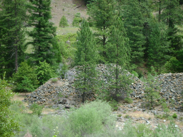
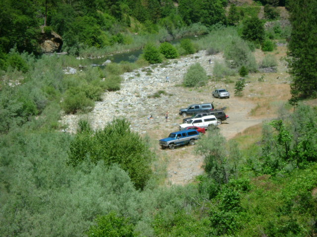
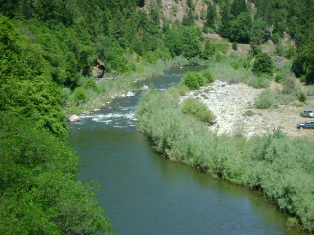
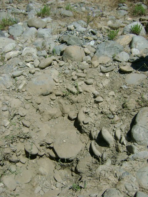
This property is located about one mile upriver from the mouth of the Scott River. There is an extensive high-banking area there, and there is also a fantastic natural riffle in the river that should provide very productive dredging opportunities. There are also some great camping spots.
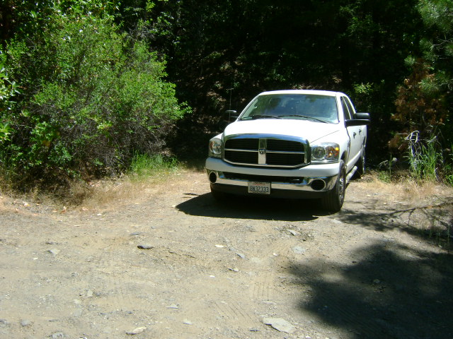
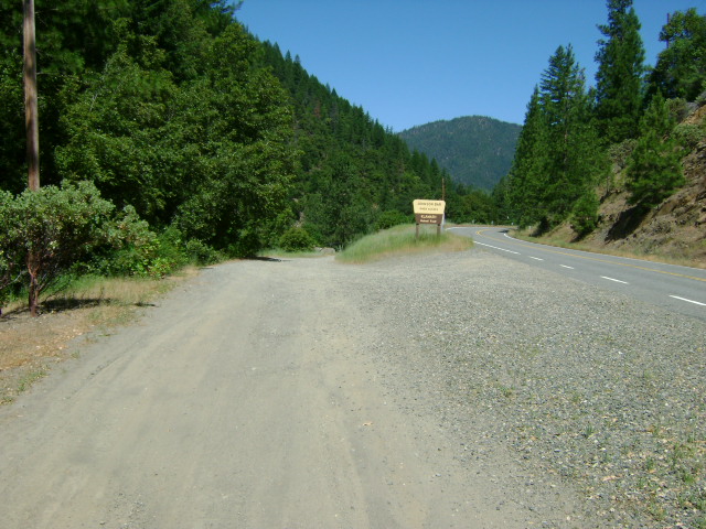
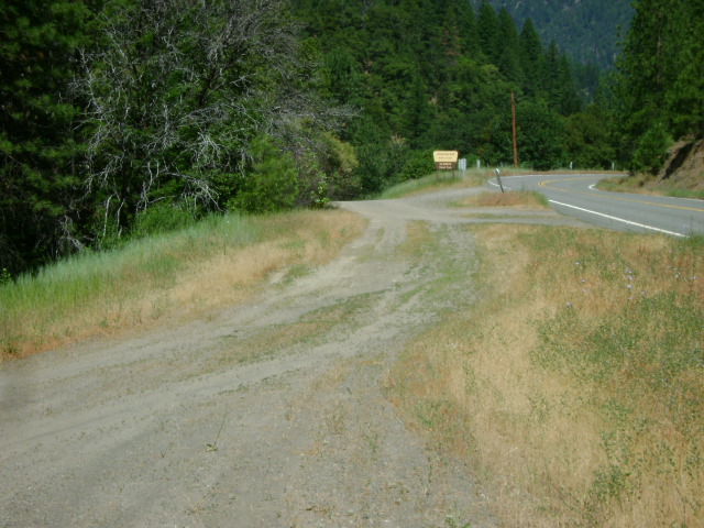
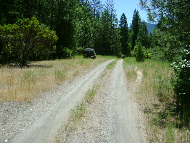
You get onto the claim by driving one mile up the Scott River Road from Highway 96. Look for the U.S. Forest Service sign which says “Johnson Bar River Access.” You can follow the access road right down onto the new claim. There is plenty of room for parking and turning around down on the bar.
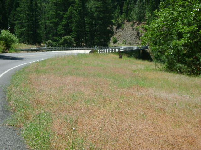
The downstream boundary sign is posted on a tree where the claim butts up to private property. Private property signs are also posted right there. Our upper boundary is located where the Scott River road crosses the river (bridge).
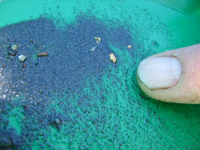
PROSPECTS: Dredging is going to be wonderful on this claim. When we first began visiting the Klamath River in 1983, there were some local miners dredging directly under the bridge on this same property, and they were recovering pounds and pounds of some of the most beautiful gold we have ever seen. It was big gold; much of it still attached to white quartz, likely from the famous mine just upstream at Scott Bar. To the best of our knowledge, those guys never dropped back to dredge the lower portion of the claim, especially around and beneath the natural riffle (rapids).
We are really lucky to have acquired this property!
There is also a very large bar present which is producing gold for surface miners. While we still have a lot to learn about this new property, initial test results are encouraging. The location is smack in the middle of one of California’s richest gold-producing areas!
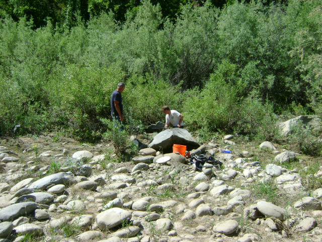
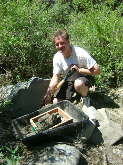
Here follows Richard Krimm’s explanation of how he located gold in one area of the new claim: