

Google Earth Coordinates: 42 25’ 12.9”N, 123 13’ 50.2W
To view the content from the link above you will need to have Google Earth installed on your home computer. Download Google Earth

Point of Interest – not an access point at this time, although there is parking off the side of the road.
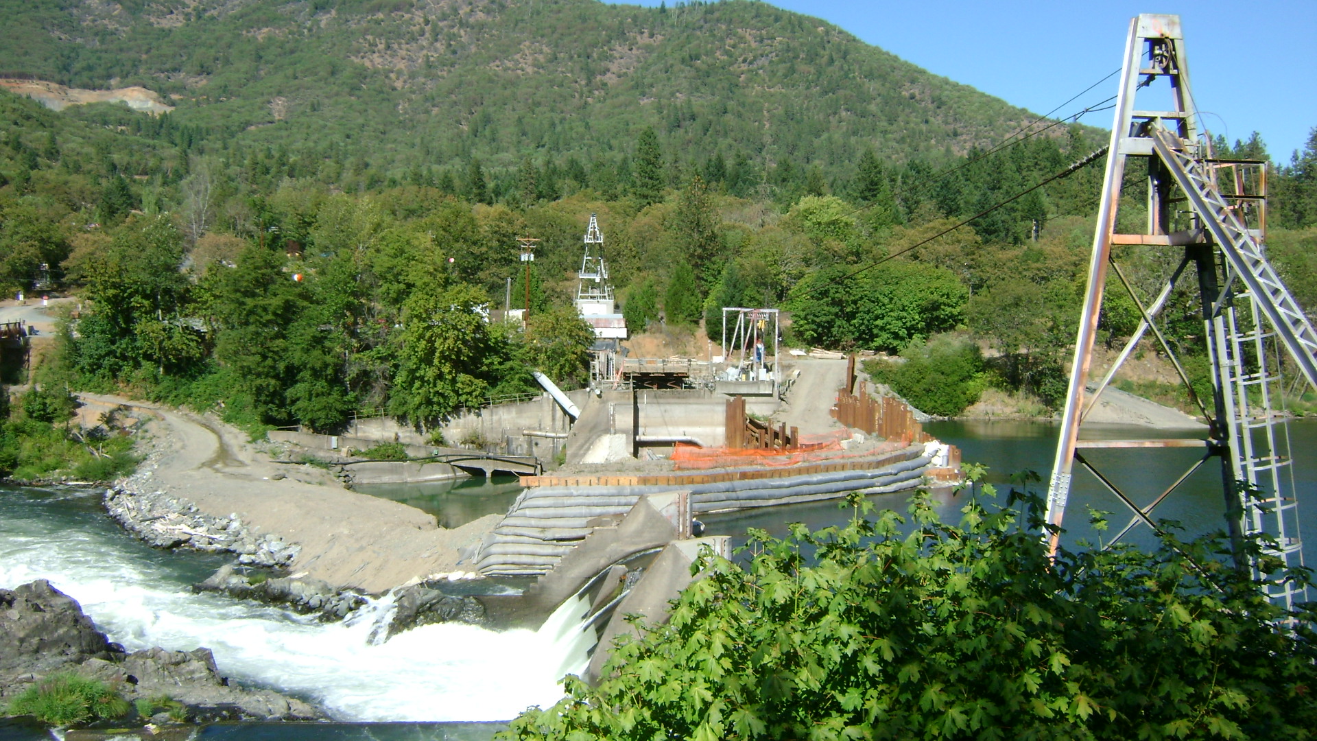
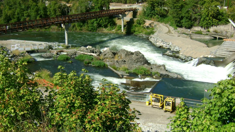
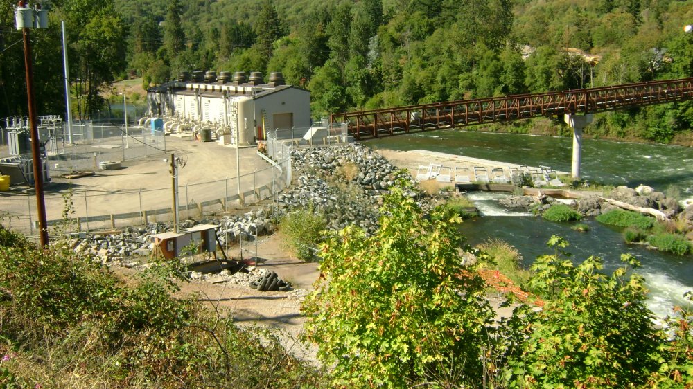
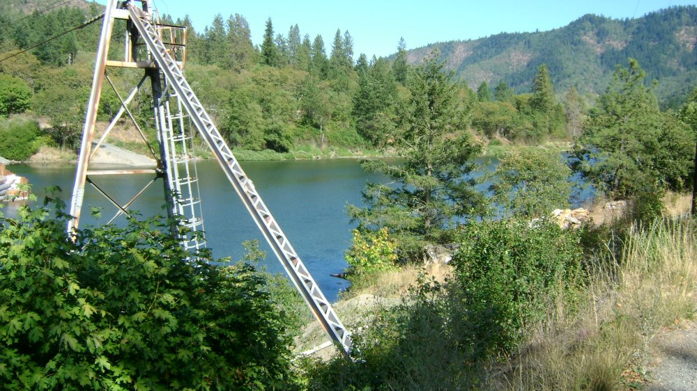
Here is where another dam has been removed from the river. But the power station is still visible from the road. Note: This was a very popular area for dredging and crevicing during the 2010 season!
Click on thumbnails to view images full size.
Upper Klamath :: Upper-mid Klamath :: Mid Klamath :: Lower Klamath
Elk Creek :: Indian Creek :: Scott River :: Thompson Creek
Salmon River Main Stem :: Salmon River North Fork
Master List of Mining Properties


