

Google Earth Coordinates: 42 26′ 09.83″N 122 59′ 02.43″W
To view the content from the link above you will need to have Google Earth installed on your home computer. Download Google Earth

This is not an access point; it is a point of interest and the starting point for our map.
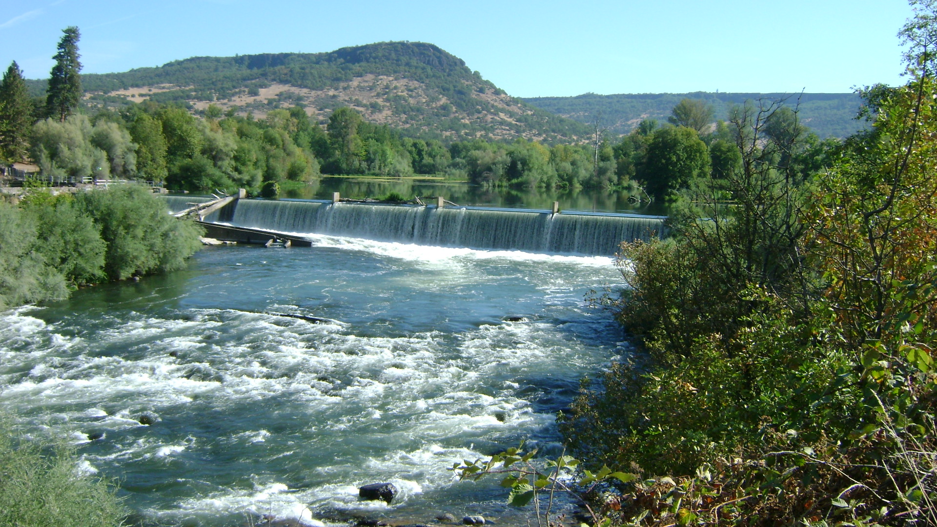
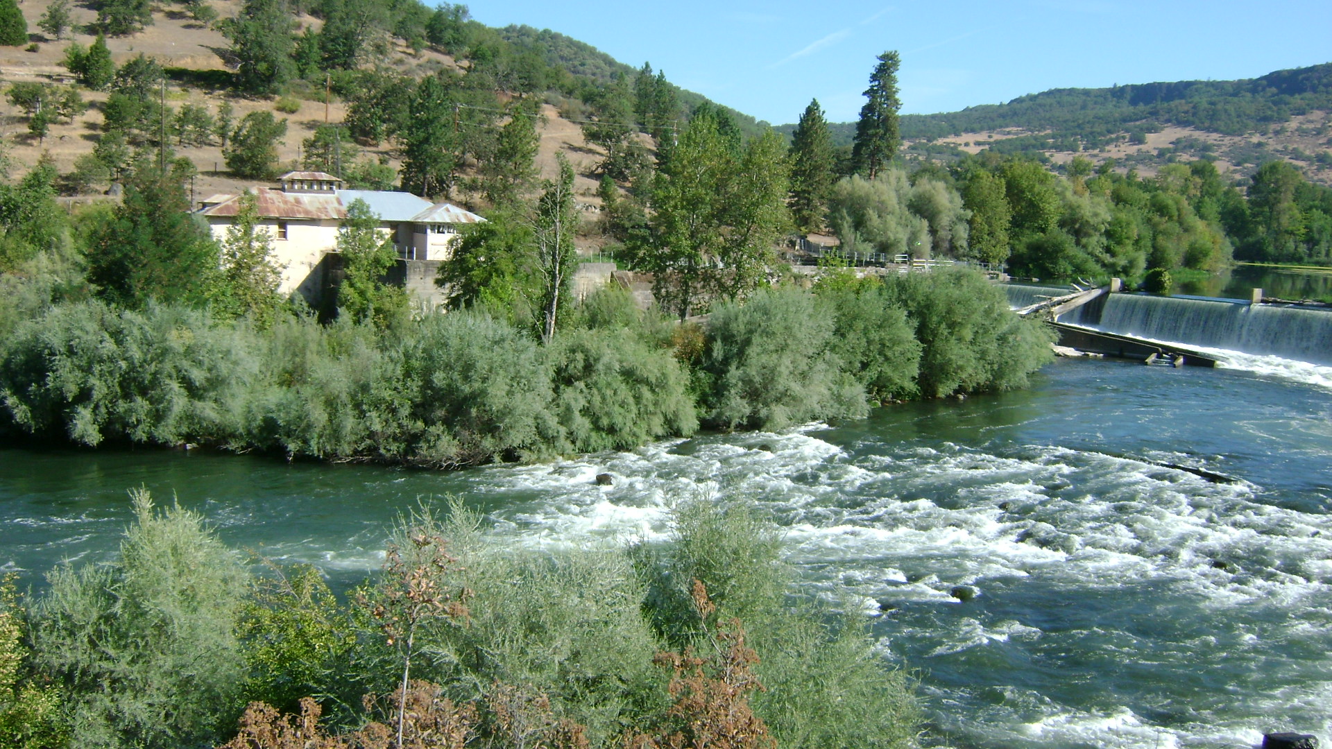
This dam was removed during the summer of 2010. It was originally built in 1905. There is plenty of information on the Internet about it. Locals have speculated that there will be rich gold deposits in the Rogue River below the confluence of Bear Creek now that the dam has been removed.


Upper Klamath :: Upper-mid Klamath :: Mid Klamath :: Lower Klamath
Elk Creek :: Indian Creek :: Scott River :: Thompson Creek
Salmon River Main Stem :: Salmon River North Fork
Master List of Mining Properties


