

Google Earth Coordinates: 42 25’ 43.8”N, 123 3’ 7.9W
To view the content from the link above you will need to have Google Earth installed on your home computer. Download Google Earth
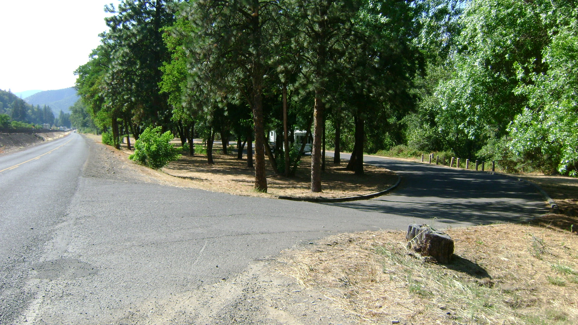
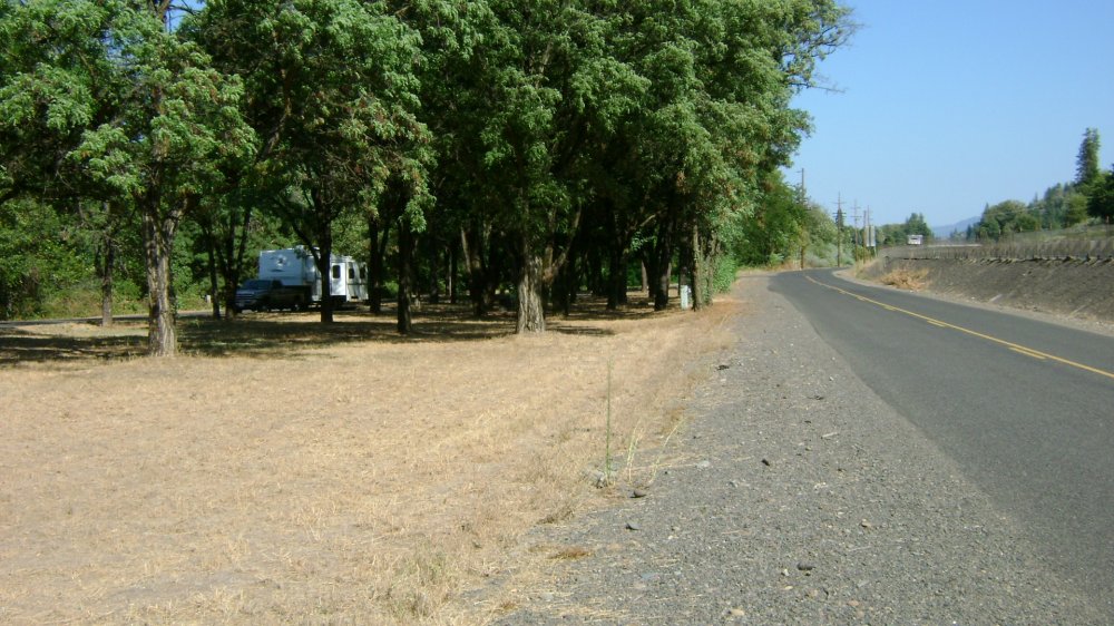
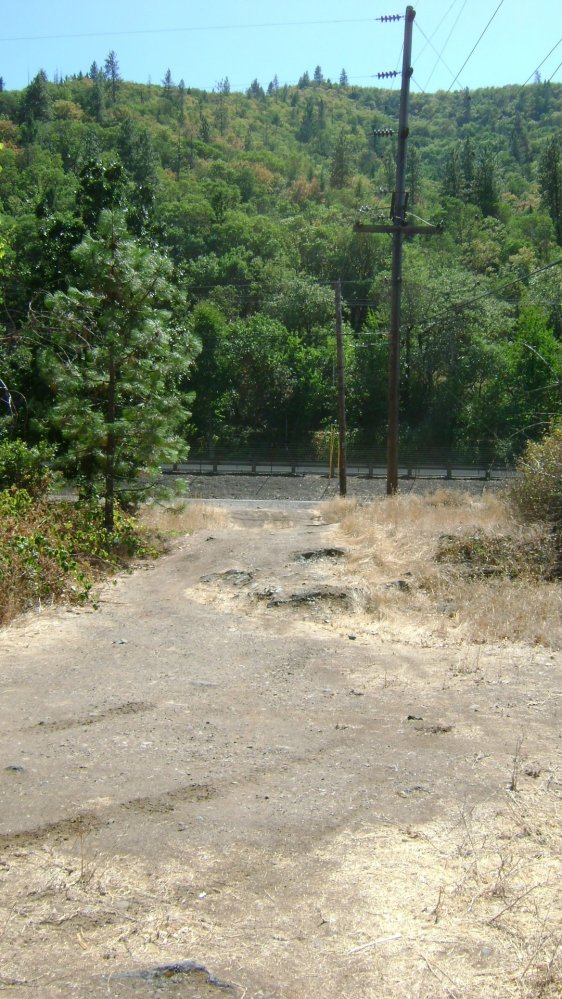
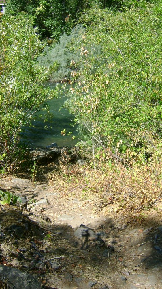
River Access, Parking, in a wayside pull-off just a short distance down the road
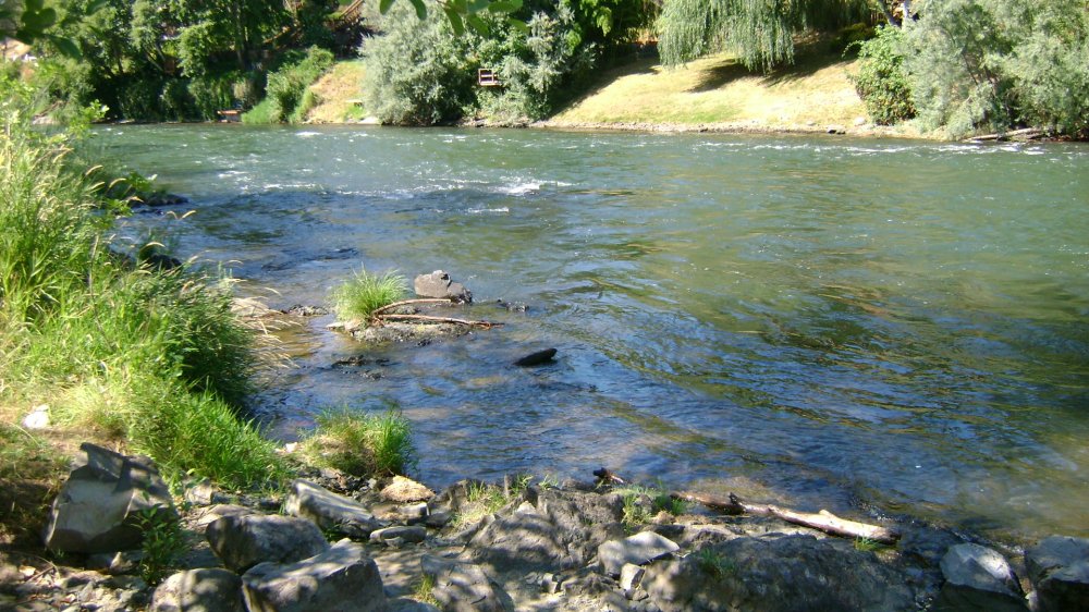
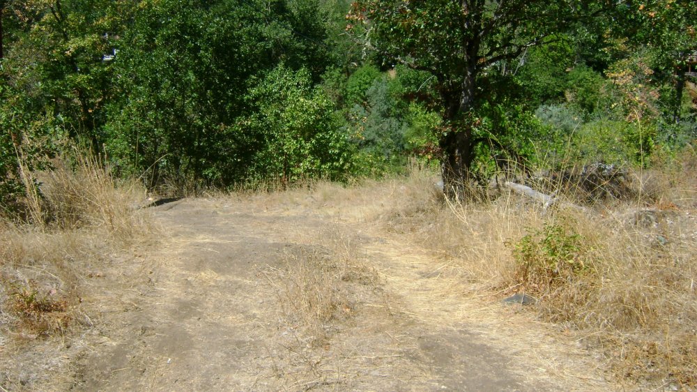
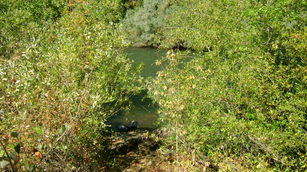
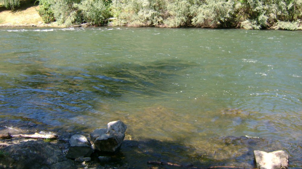
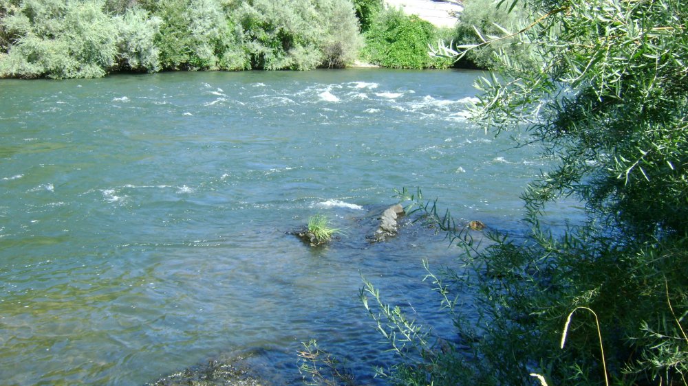
This is a steep river access, with a good place to park for the day. The grounds are brown but cut, with some shade trees. The access is steep and rocky. At the water, there is no beach and minimal landing – just enough to step off into the water.
The location is just downstream of the town of Gold Hill, on Lampman Road, which is between the river and Interstate 5 (exit 40). It is not hard to find. This is a day use area, only. Local officials are not allowing camping in this location.

Upper Klamath :: Upper-mid Klamath :: Mid Klamath :: Lower Klamath
Elk Creek :: Indian Creek :: Scott River :: Thompson Creek
Salmon River Main Stem :: Salmon River North Fork
Master List of Mining Properties


