

Google Earth Coordinates: 42 27’ 23.8”N, 123 1’ 37.2W
To view the content from the link above you will need to have Google Earth installed on your home computer. Download Google Earth

Starting at the end of the white fenced ranch, but before the RR tracks, you drive off the paved road onto a dirt road that runs parallel to the RR tracks.
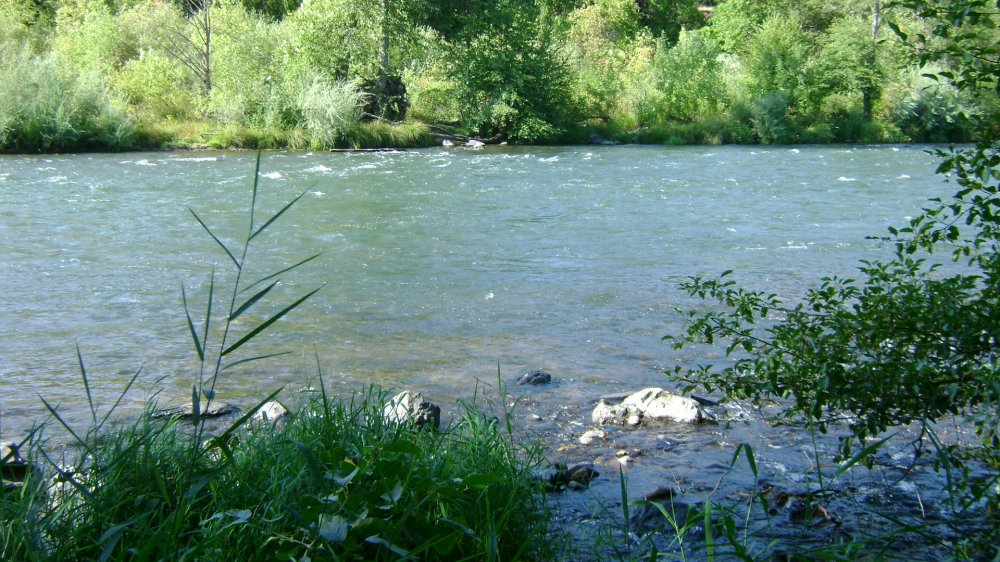
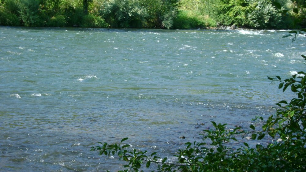
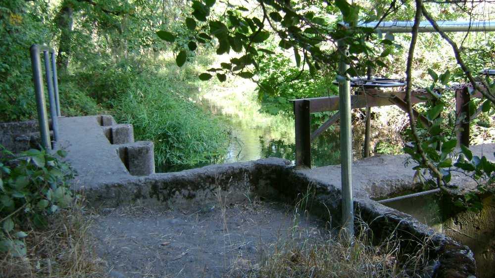
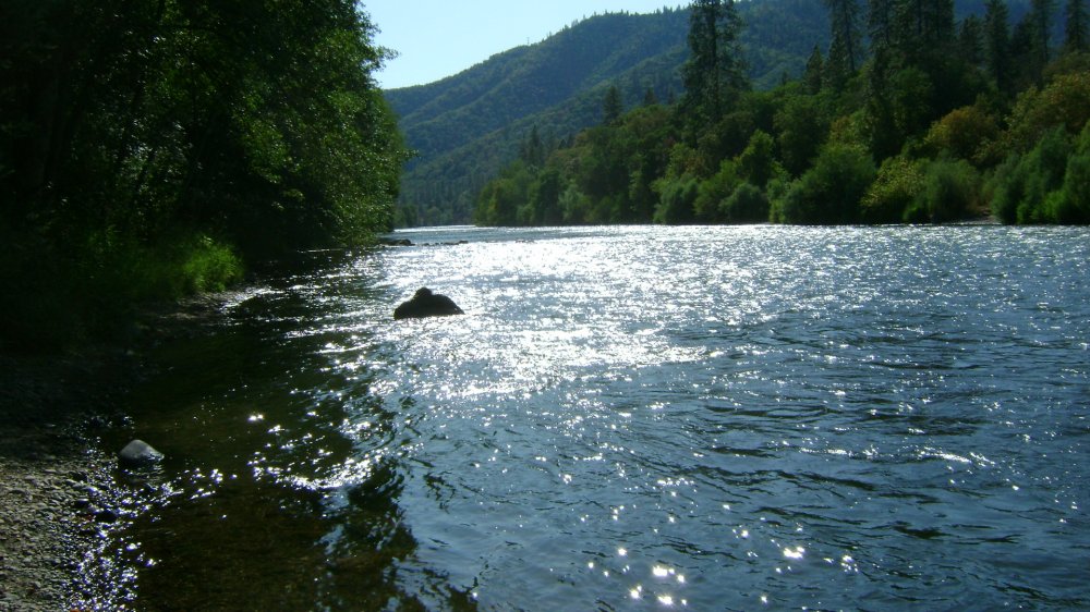
This is a wonderful and gorgeous place. The water is fierce, calm and fast, has bedrock and lots of beach rock jutting out and even has whitecaps – it’s everything all in one. There are remnants of old water diversion structures still in place in this area (see image). Terrain is bumpy to drive in, but only for a very short distance. Carrying in a dredge will involve some work through skinny walkways and trails. But once to the water, there is plenty of flat ground and beach to set up on. Gorgeous!


Upper Klamath :: Upper-mid Klamath :: Mid Klamath :: Lower Klamath
Elk Creek :: Indian Creek :: Scott River :: Thompson Creek
Salmon River Main Stem :: Salmon River North Fork
Master List of Mining Properties


