Important note concerning Mining & Dredging Seasons on this Property
Google Earth Coordinates: 41 48’7.1″N 123 5’45.2″W
To view the content from the link above you will need to have Google Earth installed on your home computer. Download Google Earth
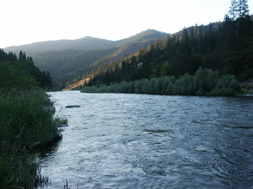
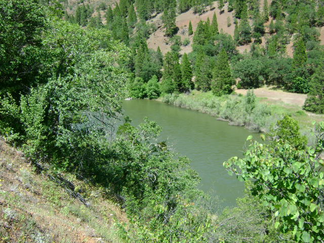
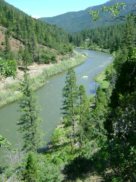
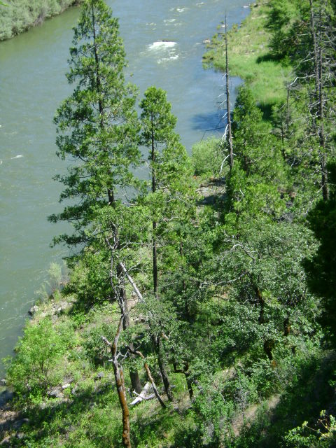
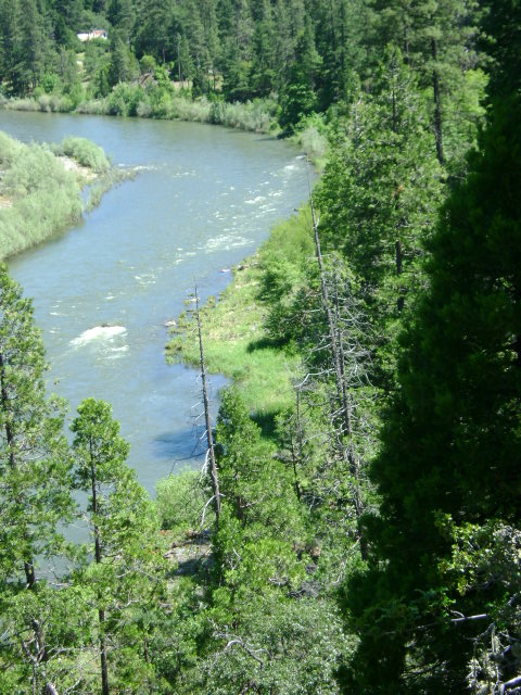
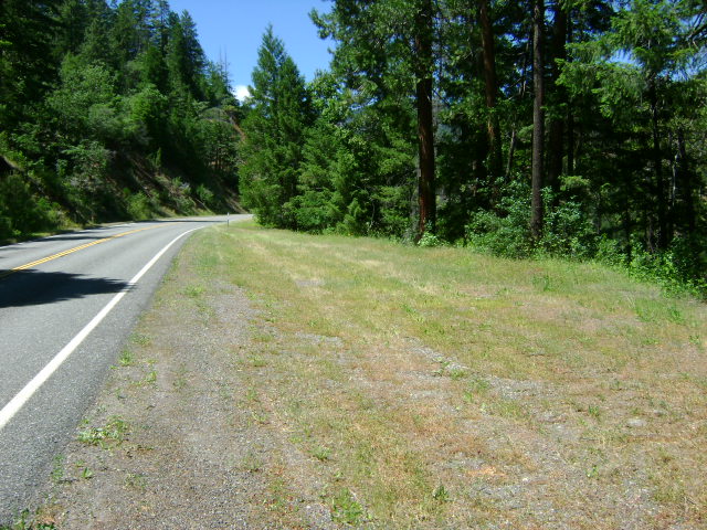
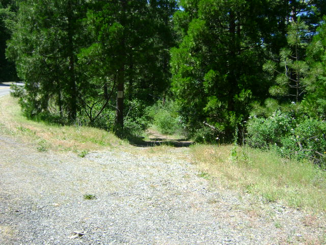
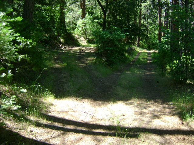
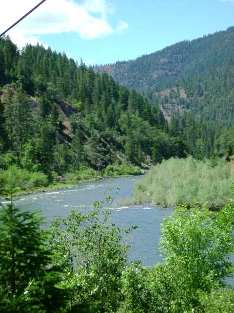
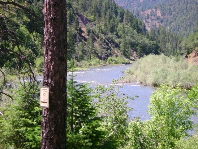
K-9 NEGRO CREEK CLAIMS – The upriver boundary (mile marker 67.28) is located 4 miles down the Klamath from its confluence with the Scott River, just downriver from the cable car which extends across the Klamath River. There is a small campground located just down river from the upper end of the claim on a short side-road between Highway 96 and the river. The access road to the camping may require a little brushing to make it passable. The lower boundary (mile marker 66.65) is located several hundred yards upriver from Negro Creek-which comes in from the far side of the river. There is private property between Highway 96 and Klamath, toward the downriver end of the claim, so access must be accomplished from further upstream.
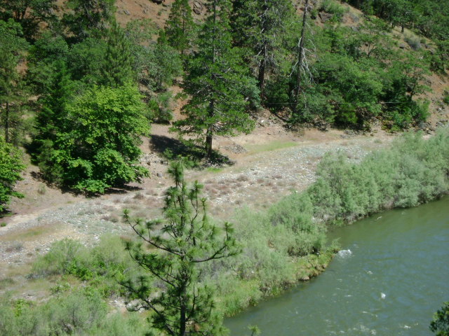
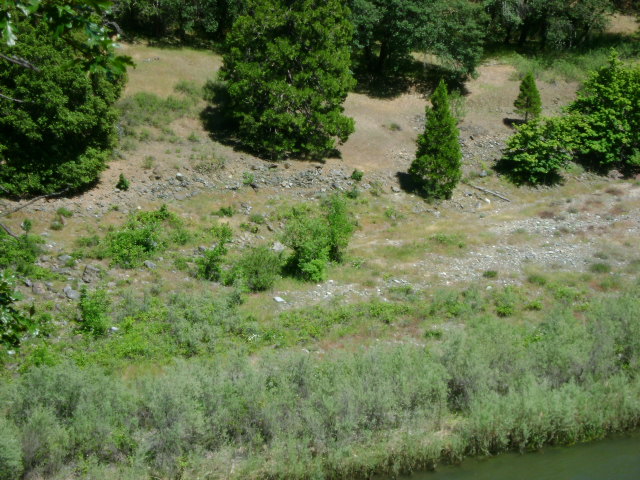
PROSPECTS: Several members have been dredging a good gold deposit on the far bank of the river toward the lower end of the claim. This section of river carried rich gold deposits during the earlier days of mining. There are substantial old mine workings on the far bank, and Negro Creek had a good history. Also, commercial dredgers have located a rich deposit in the river, on the private property located just downriver from this claim.