

Important note concerning Mining & Dredging Seasons on this Property
Google Earth Coordinates: 41 42’54.9″N 123 26’44.5″W
To view the content from the link above you will need to have Google Earth installed on your home computer. Download Google Earth
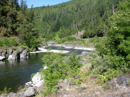
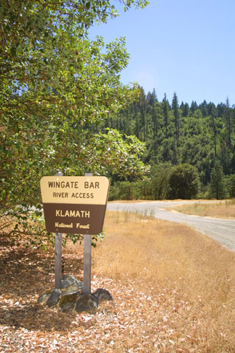
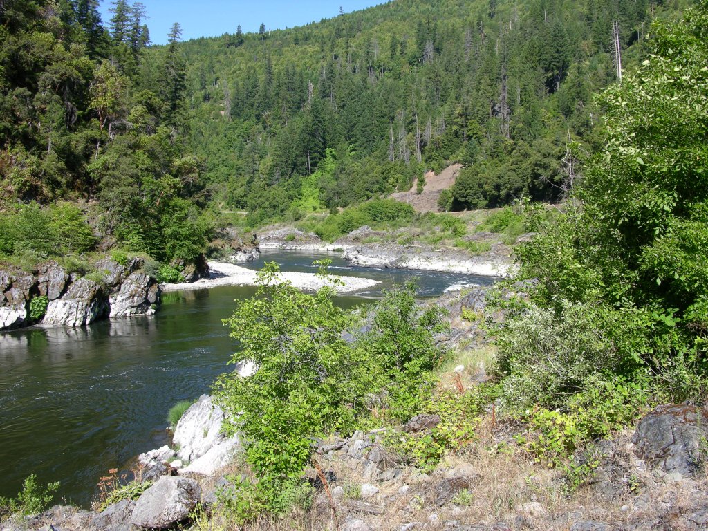
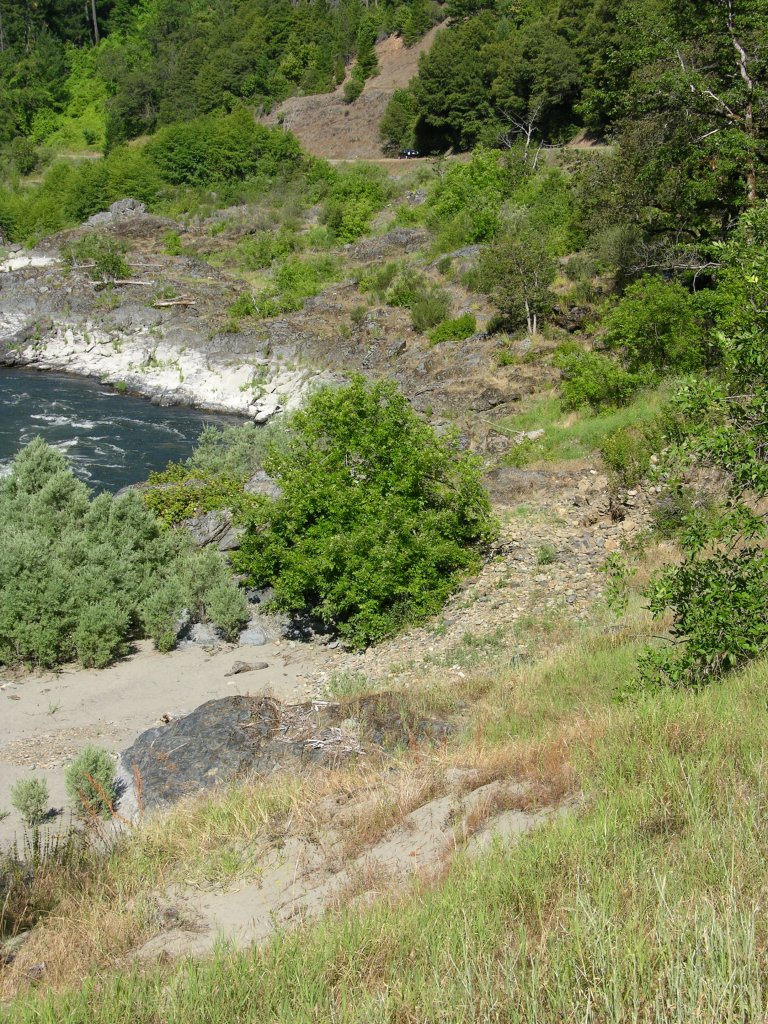
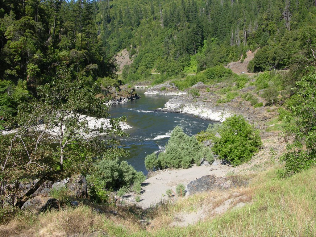
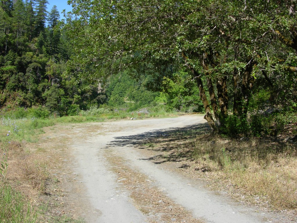
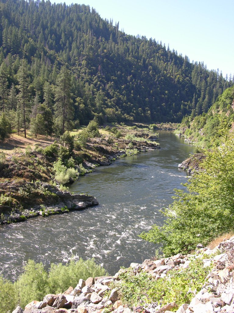
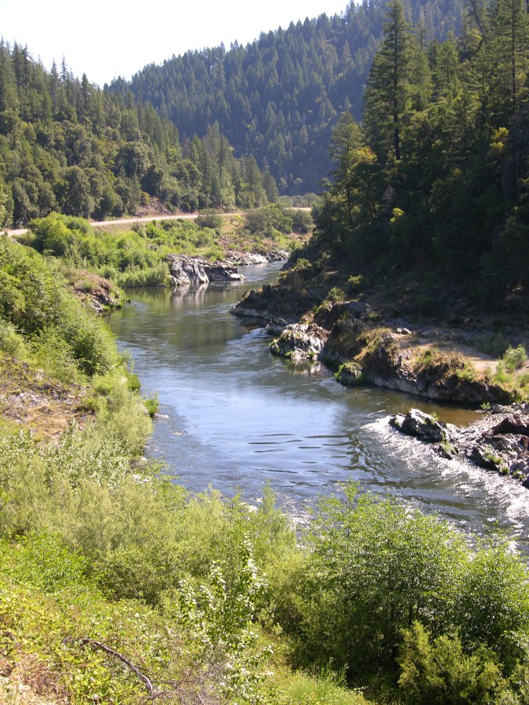
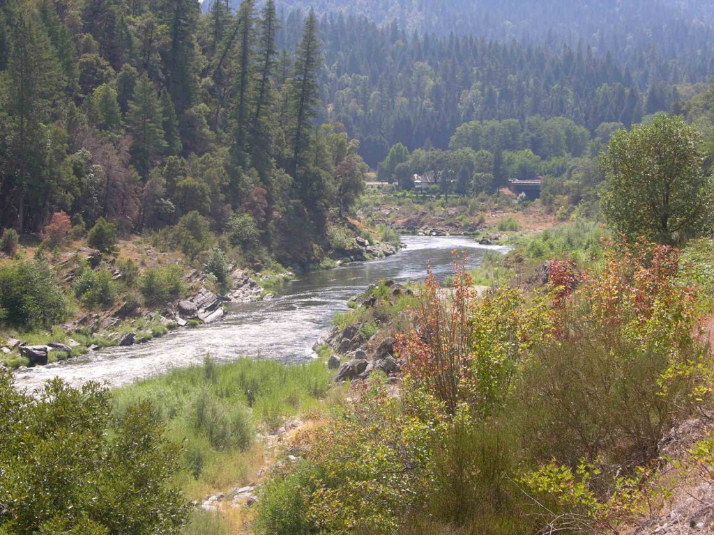
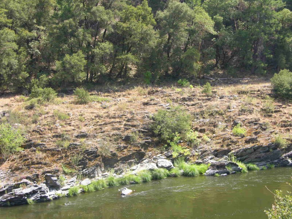
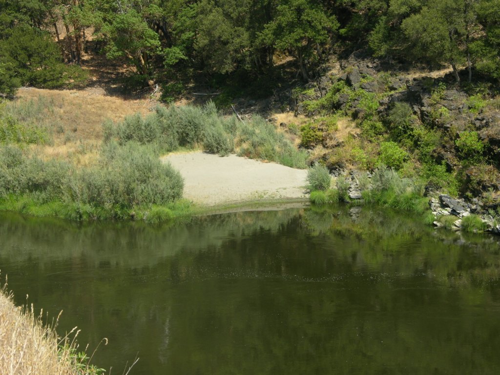
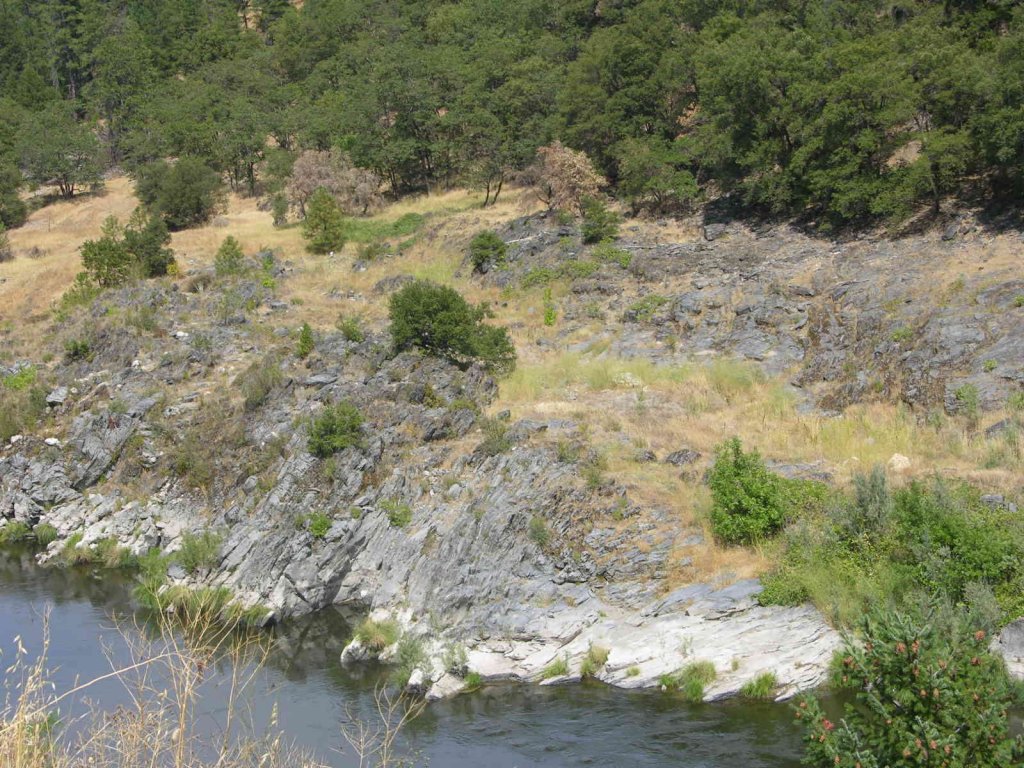
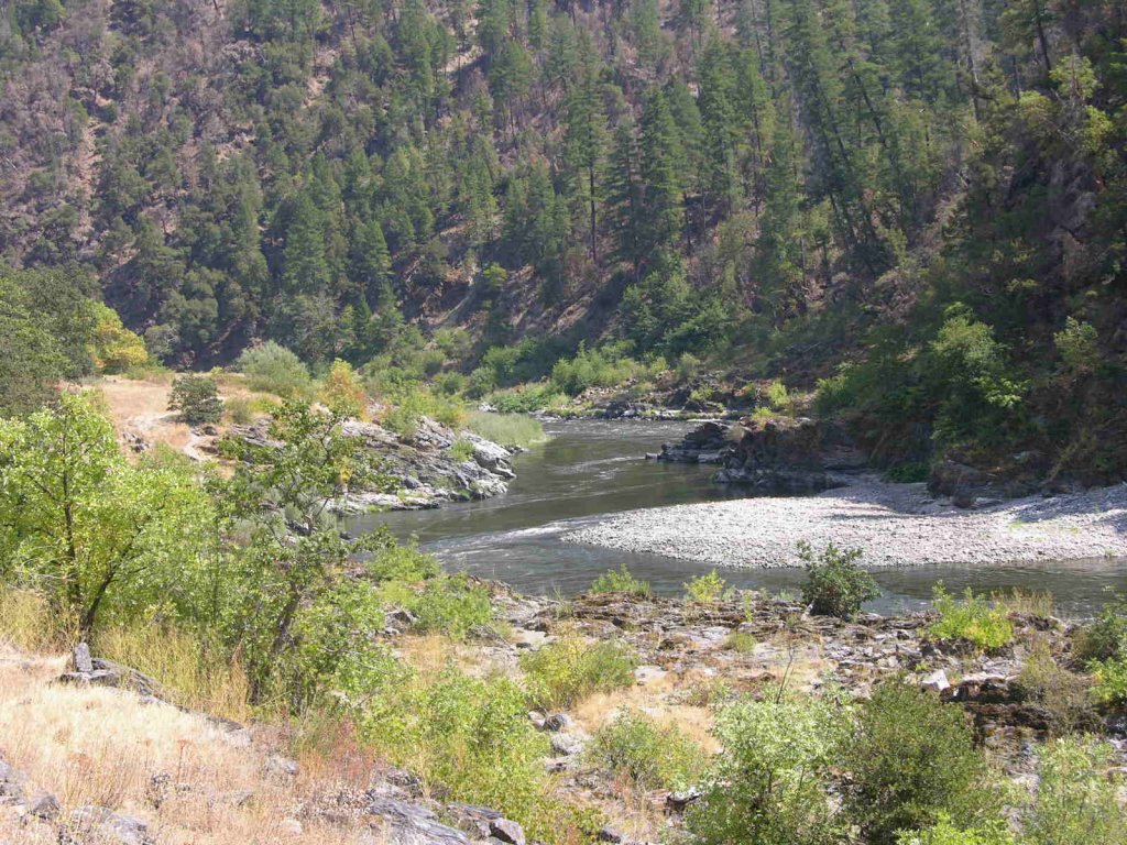
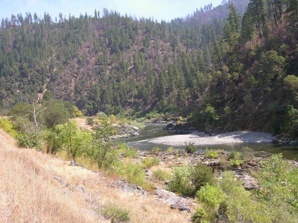
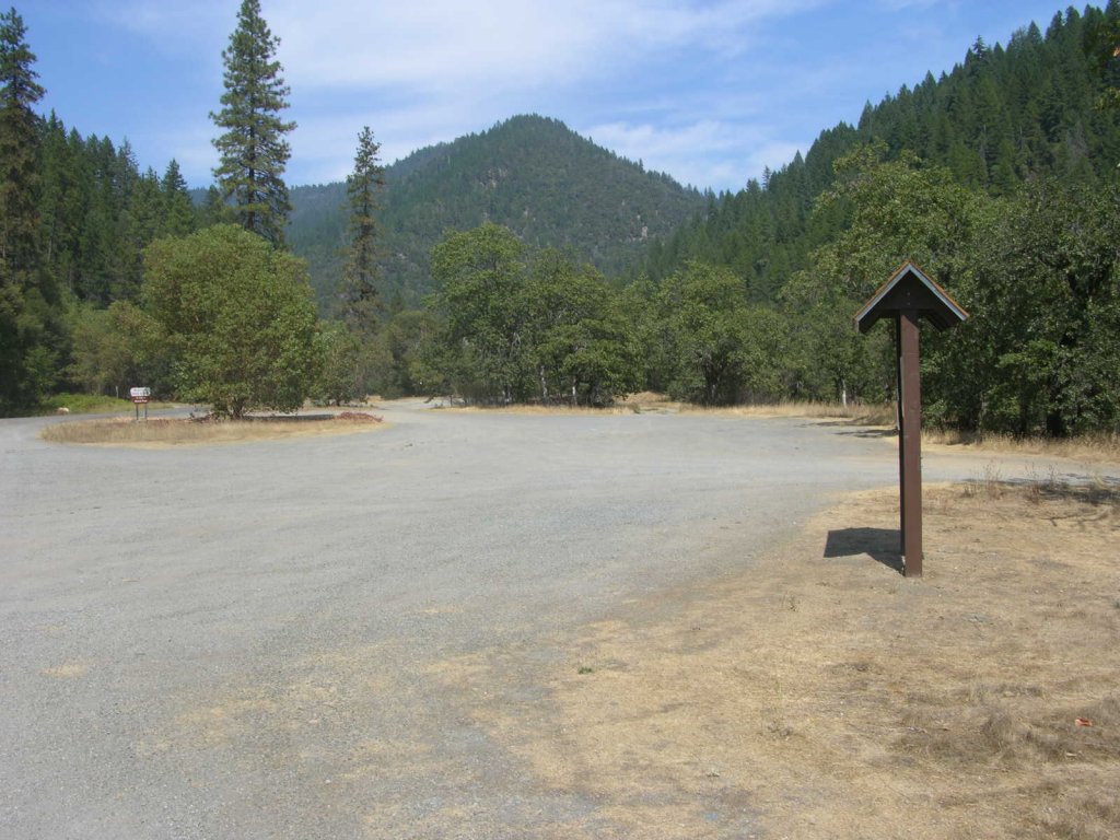
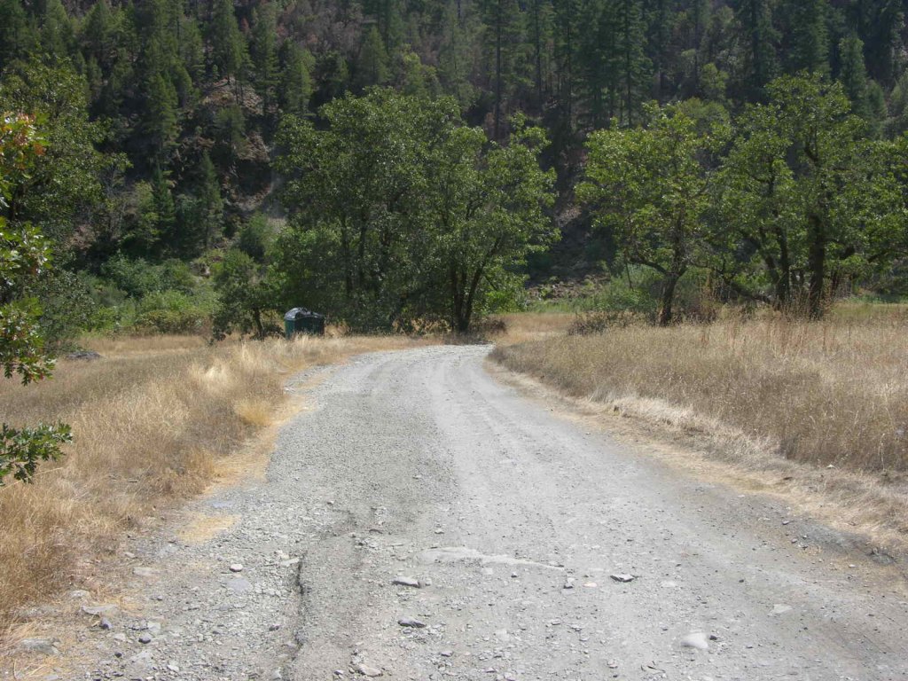
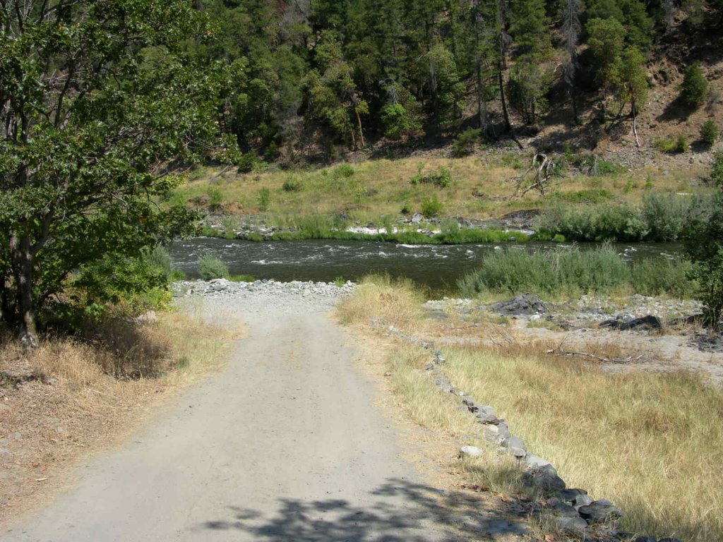
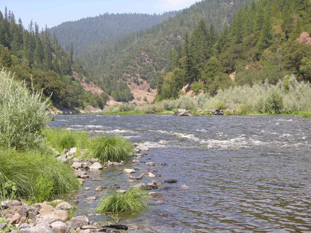
K-23a WINGATE RIVER CLAIM – is located on the Klamath River around and downstream from the USFS Wingate Creek River Access (toilet during summer months). The upper (mile marker 33.77) and lower (mile marker 32.83) boundaries are clearly marked with signs alongside Highway 96. Please, no camping at or around the USFS river access point, because of the heavy use of the river access by rafters and boaters. There is some camping up by Highway 96 in the large turnout, just upriver from the river access.
Here it is on Google Earth
Here it is in refrence to K-23AA on Google Earth
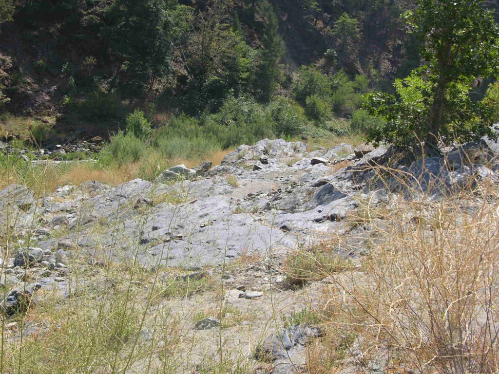
PROSPECTS: Members have found good gold deposits using small dredges and motorized sluices on the Highway-96 side of the river. Members have also found good gold deposits on the far-side of the river, where large surface-mining areas exist, with lots of bedrock showing.
The Club recently organized a Group Mining Project on this claim and did very well. The story for that can be located by clicking here.
Then, we followed up with another Mining Project where we did even better. This story, along with free video segments, can be found here.


Upper Klamath :: Upper-mid Klamath :: Mid Klamath :: Lower Klamath
Elk Creek :: Indian Creek :: Scott River :: Thompson Creek
Salmon River Main Stem :: Salmon River North Fork
Master List of Mining Properties


