

Important note concerning Mining & Dredging Seasons on this Property
Google Earth Coordinates: 41 44’42.4″N 123 24’5.1″W
To view the content from the link above you will need to have Google Earth installed on your home computer. Download Google Earth
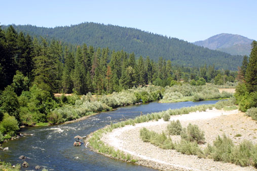
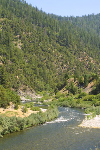
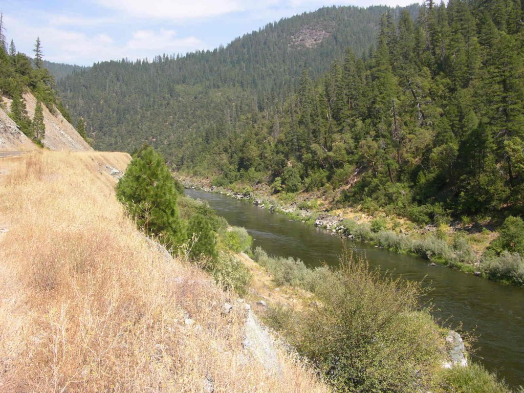
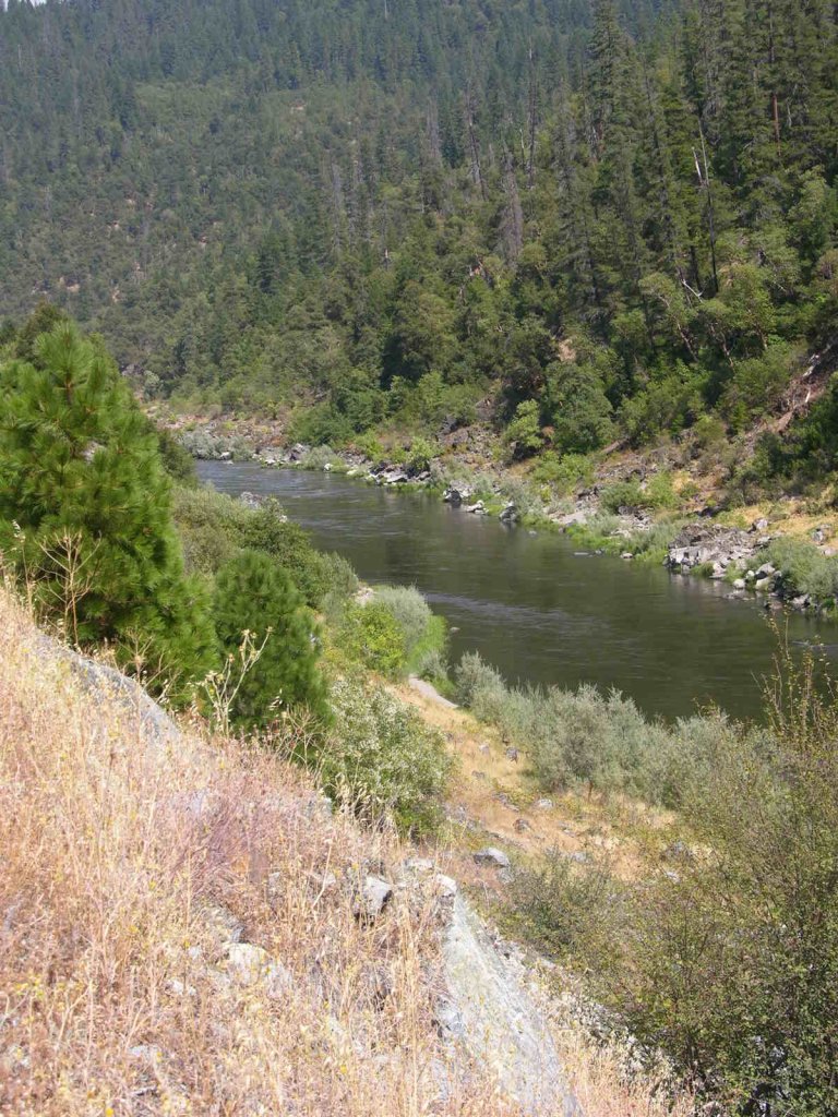
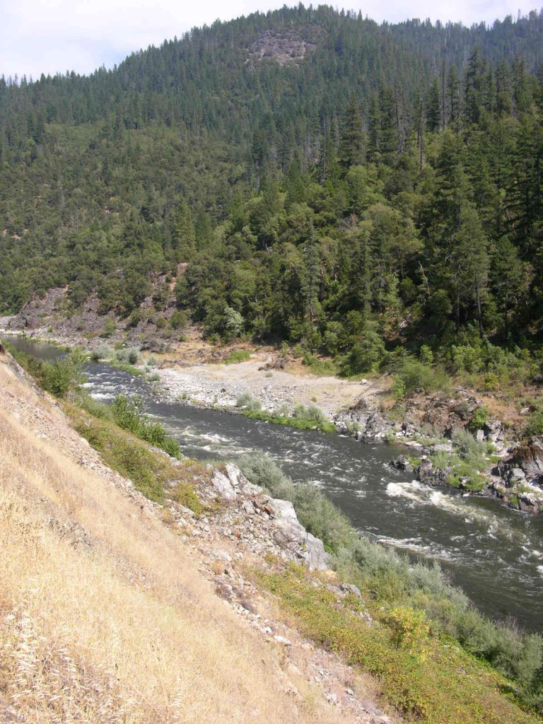
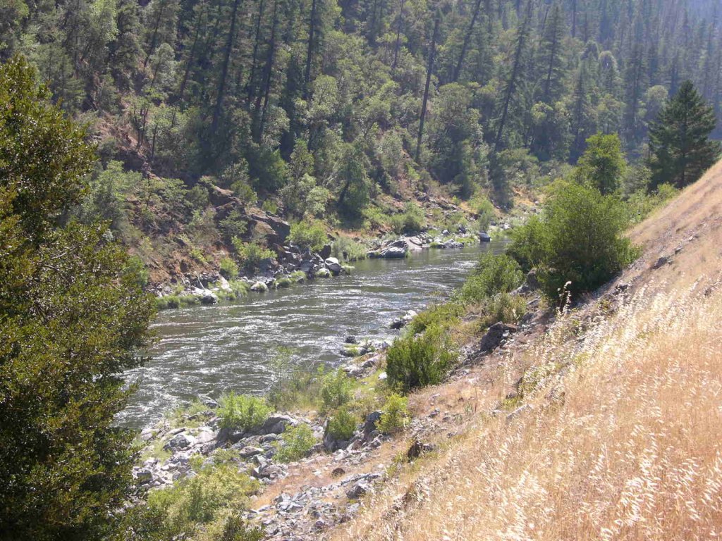
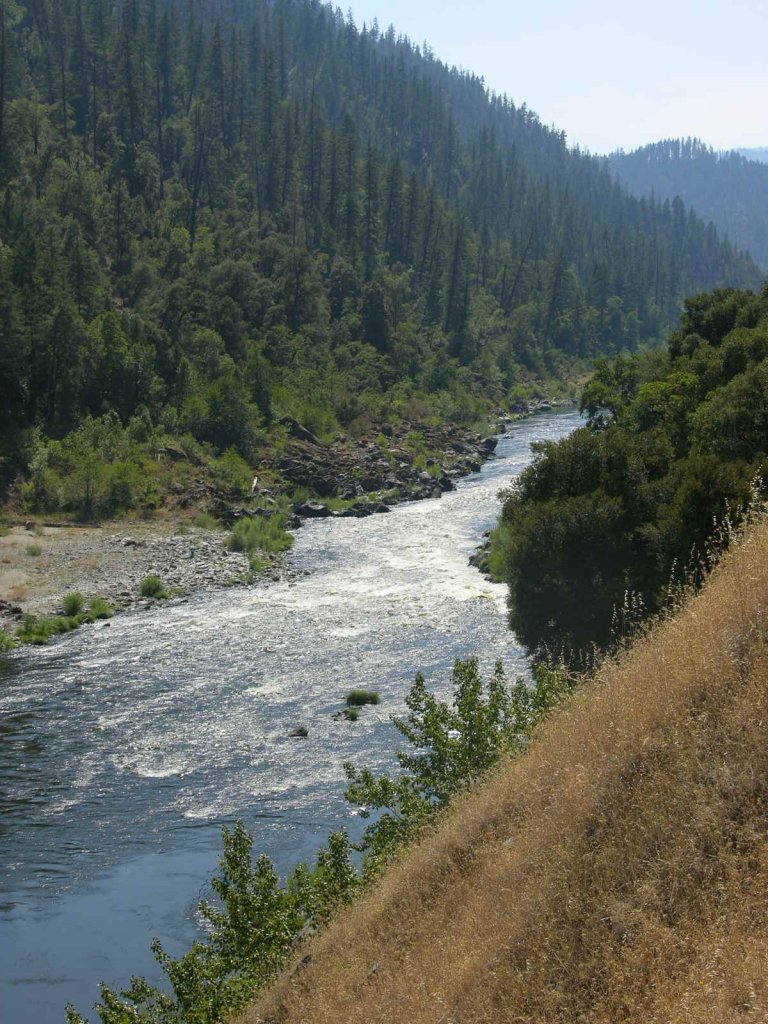
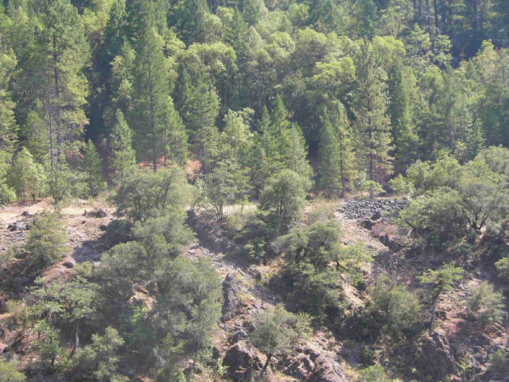
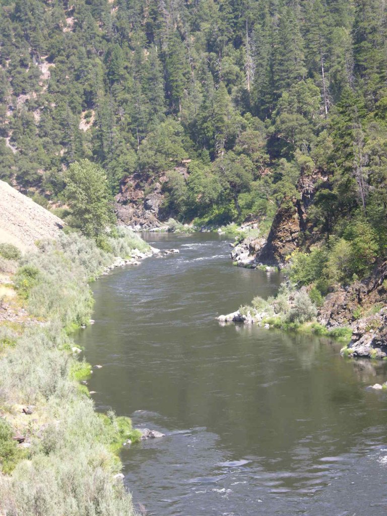
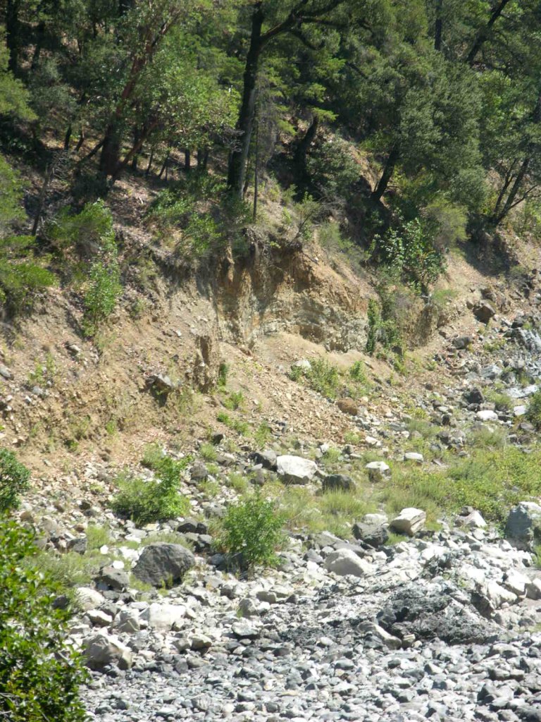
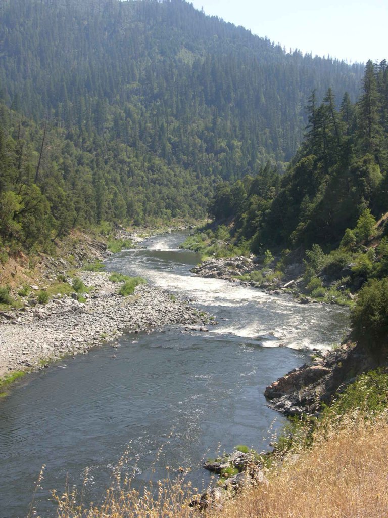
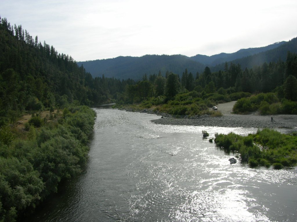
K-22 CURLY JACK, CHAMBERS FLAT AND LOWER CANYON CLAIMS – are a very long stretch of claims, adjoining our K-21 property a short distance downstream of confluence of Indian Creek in lower Happy Camp (toilet and river access available here). Since there is private property between Highway 96 and the Klamath River in this area, most members access the upper portion of these claims from Elk Creek road and Curly Jack road on the far side of the river. There is a Forest Service Fee campground on Curly Jack road, and there is also a developed river access down at the confluence of Elk Creek. We ask members to not dredge within 100 feet of the beach at Curly Jack campground. The lower boundary (mile marker 35.95) is located five miles below town, well down into a deep canyon. The sign is posted on a tree alongside Highway 96, across from a short parking pull-off at Doolittle Creek. We have a substantial developed Club campground, with two access roads, located about 1-1/2 miles below Happy Camp on Highway 96. The campground is called “Chamber’s Flat”. Downriver from Chamber’s Flat campground, you will notice a few parcels of private property between Highway 96 and the river. The deep canyon begins just downriver from the private property. Some paths and trails have been created to gain access to the canyon areas. On the far side of the river, 4-1/2 miles below town, you will see an old hydraulic mining cut-which has been good for metal detecting.
Here it is on Google Earth
IMPORTANT NOTE: Between June 15 and October 15, there will be no dredging within 500 feet of the mouths of Little Grider or Elk Creeks, or within 500 feet upstream or 1,500 feet downstream of Indian Creek.
PROSPECTS: These claims have been proven to produce rich gold deposits from top to bottom, with members recovering many, many ounces during the past several years. A lot of dredging was done upriver from Curly Jack campground, in and around the rapids, several years ago. The area around the confluence of Elk Creek also received a great deal of attention. There has been some productive dredging activity in and around the upper end of the lower canyon. But for the most part, the remainder of this long stretch of claims has not been prospected or mined-and the prospects are exceptional.


Upper Klamath :: Upper-mid Klamath :: Mid Klamath :: Lower Klamath
Elk Creek :: Indian Creek :: Scott River :: Thompson Creek
Salmon River Main Stem :: Salmon River North Fork
Master List of Mining Properties


