Important note concerning Mining & Dredging Seasons on this Property
Google Earth Coordinates: 41 48’36.0″N 123 6’56.3″W
To view the content from the link above you will need to have Google Earth installed on your home computer. Download Google Earth
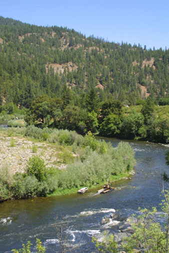
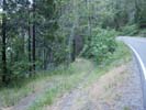
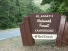
K-10 O’NEIL CREEK CLAIMS – are located at the confluence of O’Neil Creek, which is 8 miles upriver from where Seiad Creek is crossed by Highway 96. At mile marker 65.38, there is a Forest Service developed fee-campground (sometimes closed) a short distance up O’Neil Creek which allows a two-week stay. We have a river access road (mile marker 65.50) just upriver from O’Neil Creek. The road is narrow and bumpy and we recommend you look first, before driving down there. Our upriver boundary (mile marker 65.60) is located just upriver from the river access. Directly downriver from O’Neil Creek, there is a pull-off from Highway 96 which acts as a parking area. It is directly in front of an old road, closed off by a gate. Across Highway 96 (at mile marker 65.37) from this parking area, you will find a trail which leads down to the claim along the river. While following the trail, you will notice a sudden right turn-which detours the trail around a parcel of private property. The private property is well marked, with the owner particular about maintaining his privacy. The downriver boundary of the claim is marked by a large sign on a tree on the far side of the river.
IMPORTANT NOTE: Between June 15 and October 15, there will be no dredging within 500 feet of the mouth of O’Neil Creek at K-10, except that dredging is allowed below the major rapids that are downstream of the mouth.
PROSPECTS: This claim has proven very rich during the past several years. Gravel is generally shallow to bedrock or false bedrock (very hard-packed layer). The claim has produced well from top to bottom, for dredging and mining outside of the river. Both sides of the river, and the middle, pay well. There is a false bedrock layer, generally about 2 feet deep into the gravel, which consistently pays well. If it is not paying on this layer, it means someone else got there first. A good portion of the far bank, and most of the center of the river, has not yet been prospected or mined. Therefore, the prospects look very good.
Upper Klamath :: Upper-mid Klamath :: Mid Klamath :: Lower Klamath
Elk Creek :: Indian Creek :: Scott River :: Thompson Creek
Salmon River Main Stem :: Salmon River North Fork
Master List of Mining Properties


