

Important note concerning Mining & Dredging Seasons on this Property
Google Earth Coordinates: 41 52’43.0″N 122 33’18.0″W
To view the content from the link above you will need to have Google Earth installed on your home computer. Download Google Earth

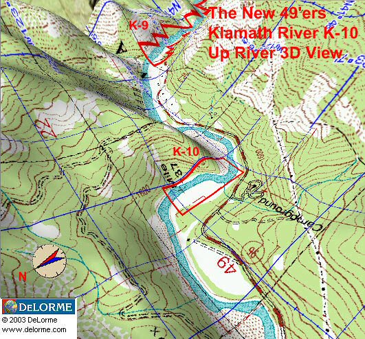
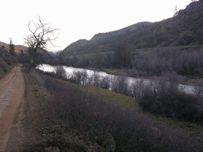
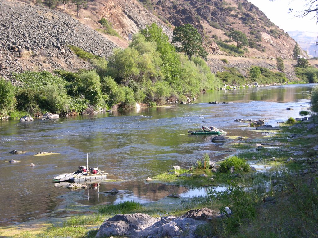
This property adjoins UK-3 at the lower-end. The upper boundary adjoins private property. Watch for our boundary sign on a tree next to Klamathon Road, near the fence which marks the private property (look for the sign which says “Tres Amigos”).
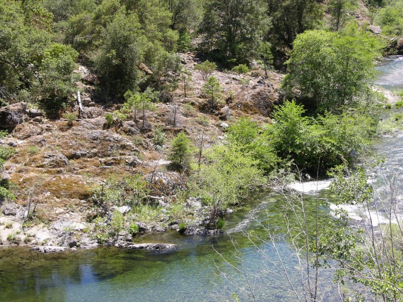
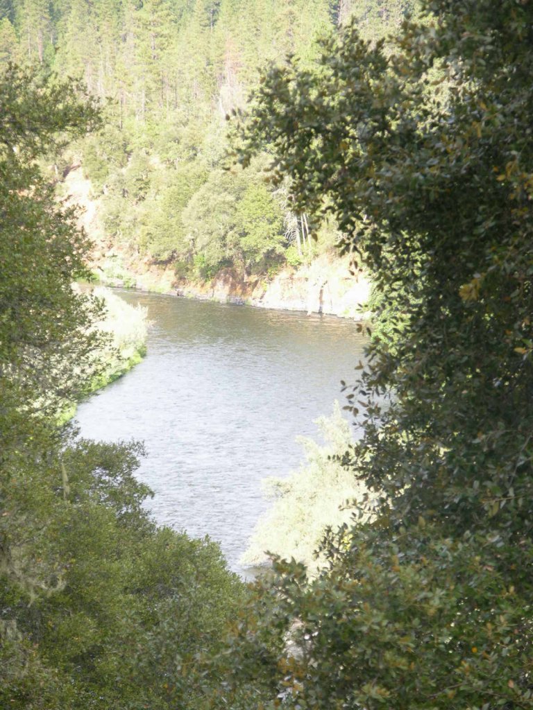
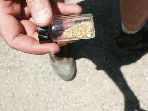
PROSPECTS: The prospects for high-grade gold deposits to be present on UK-3A are excellent. This is because all or most of the gold which Club members have been recovering from the other UK properties during the past 2 years has washed downriver directly across UK-3A. As high-grade gold deposits exist throughout the several-mile stretch of river just downstream, it is a near certainty that they will also exist on this new property.
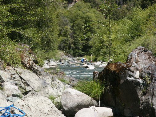
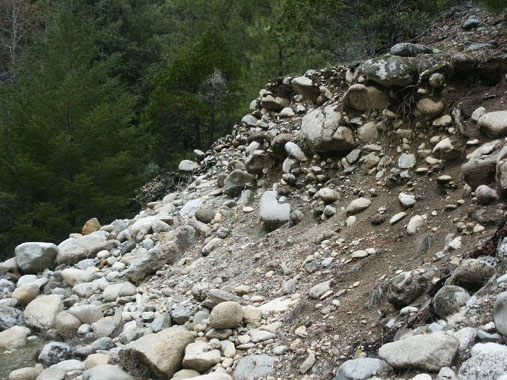
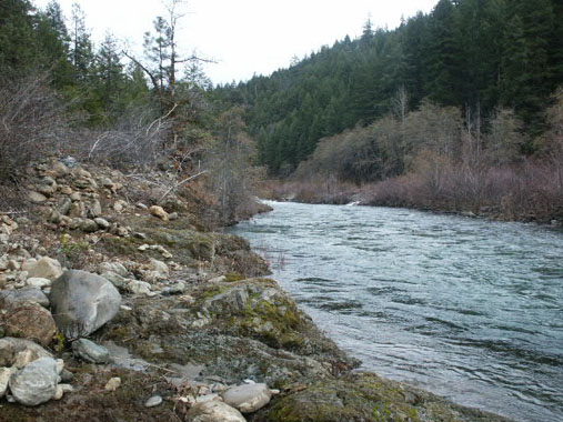
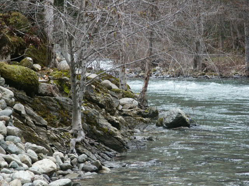
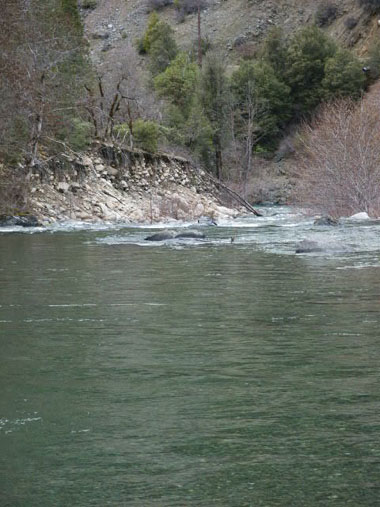
Recent large winter storms have made fresh cuts into original streambed along the edges of the river on this property. This indicates that the old-time miners overlooked the area, as they did along our other UK properties just downstream, where nearly the entire bottom of the river is virgin of earlier mining activity.
Aggressive sampling will be necessary to locate the rich gold deposits, because this stretch of river does not include any significant directional changes to help concentrate the main gold path along one side of the river or the other. There is a nice natural riffle (short section of faster water) at the top end of the property which should help create some pay-streaks.
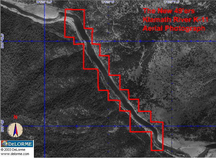
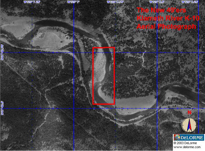
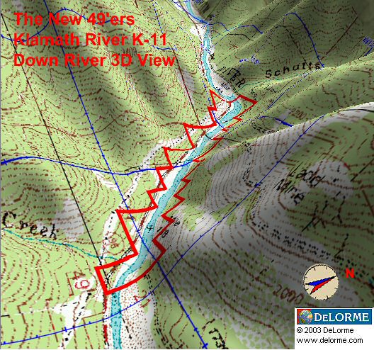
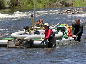
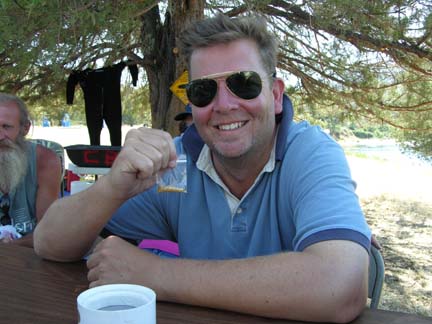
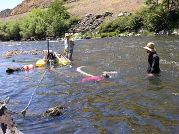
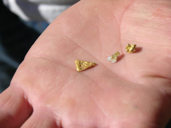
Click on Thumbnail for larger image.

Upper Klamath :: Upper-mid Klamath :: Mid Klamath :: Lower Klamath
Elk Creek :: Indian Creek :: Scott River :: Thompson Creek
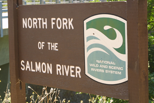
Salmon River Main Stem :: Salmon River North Fork
Master List of Mining Properties
Important note concerning Mining & Dredging Seasons on this Property
Google Earth Coordinates: 41 52’15.4″N 122 33’32.8″W
To view the content from the link above you will need to have Google Earth installed on your home computer. Download Google Earth
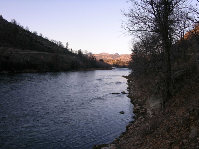
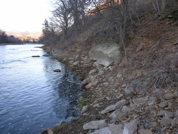
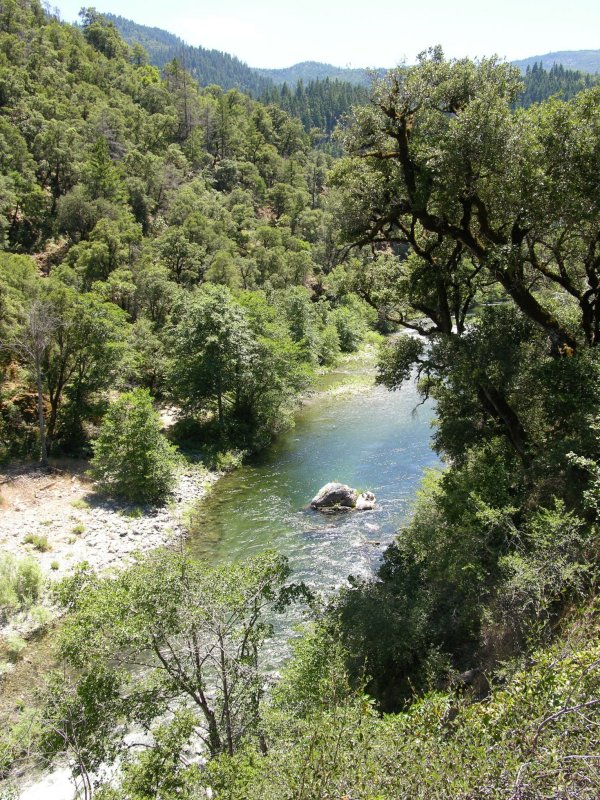
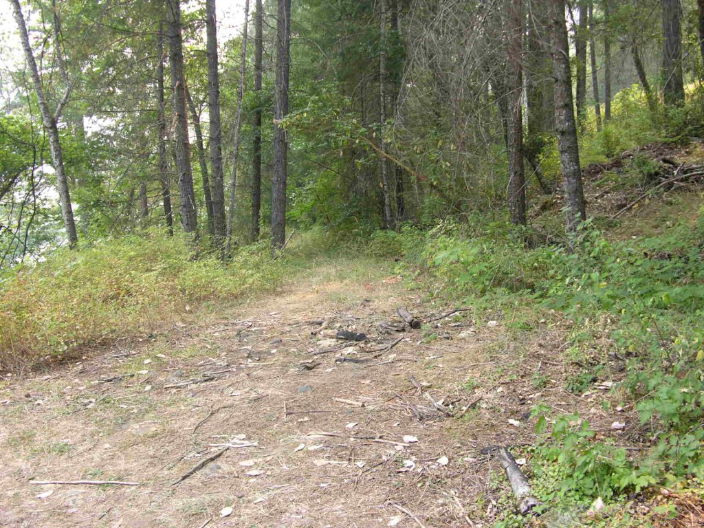
The lower boundary of this claim is located around 8/10ths of a mile up Klamathon Road. Look for our Club signs to begin several hundred feet upstream from the old miners cabin. The upper boundary is posted on a tree 1.5 miles up Klamathon Road, near telephone pole #48. There is a pretty good river access point, some parking, and a little camping near the two old houses just upriver. The houses and fenced-in property is posted as a “National Heritage Site” by the federal government, so please do not use any metal detectors (or even make them visible) in or around that area. Note; while the old houses have now been removed, the foundations remain in place.
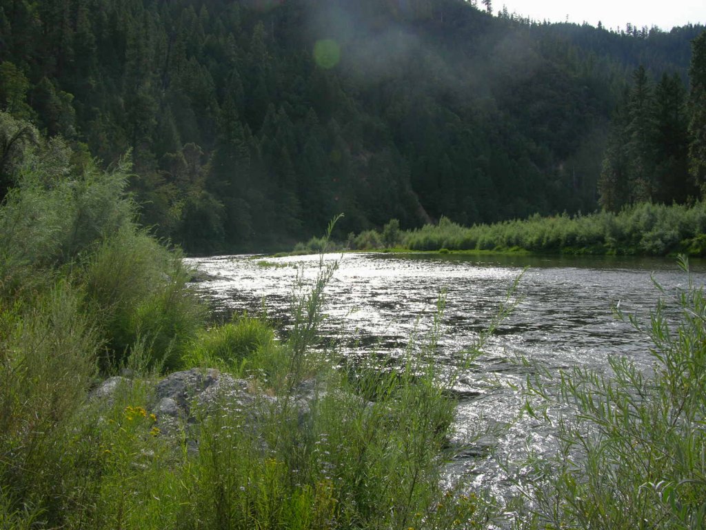
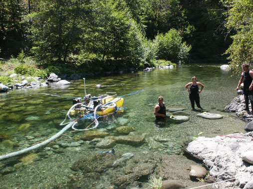
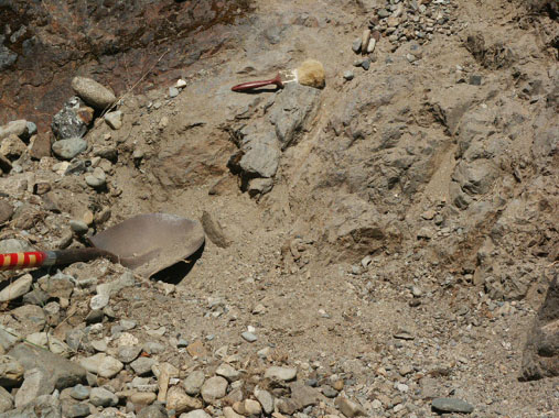
PROSPECTS: This section of the river has an exceptional amount of fine and flake gold in a shallow flood layer, on top of an older layer of cemented gravel. We recently did a Dredging Project near the upper boundary and recovered 4 ounces of gold in just several days of dredging. Several other members have been doing well dredging along the Klamathon Road side of the river and out towards the middle, with at least one member recovering as much as ¾-ounce of gold per day. This prompted us to follow up with yet another group mining project, and we easily found another rich pay-streak! Most of the claim has yet to be sampled. One sample hole on the Interstate 5 side of the river appears to show that the gold is also over there. Some small nuggets have been recovered. Look for the hard-packed gray layer either on bedrock or on top of a very hard layer of cemented gravel. It appears that the gold is some-what evenly disbursed through the hard-packed gray material and that the more of it you process, the more gold you recover.
Upper Klamath :: Upper-mid Klamath :: Mid Klamath :: Lower Klamath
Elk Creek :: Indian Creek :: Scott River :: Thompson Creek
Salmon River Main Stem :: Salmon River North Fork
Master List of Mining Properties
Important note concerning Mining & Dredging Seasons on this Property
Google Earth Coordinates: 41 15’37.1″N 123 19’10.4″W
To view the content from the link above you will need to have Google Earth installed on your home computer. Download Google Earth
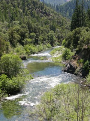
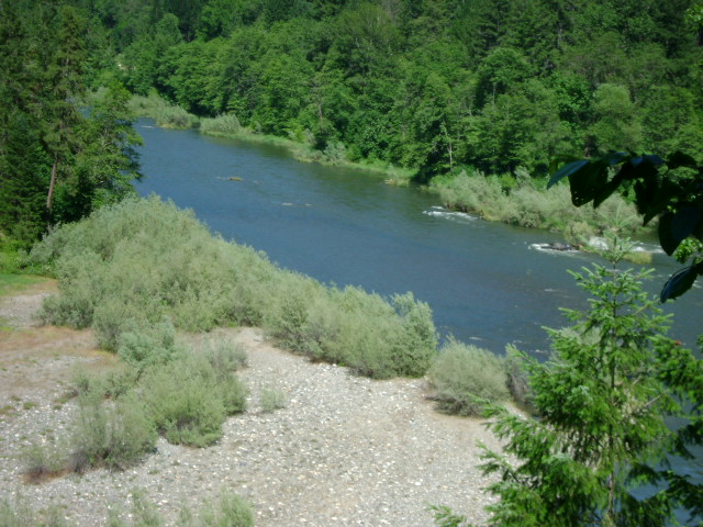
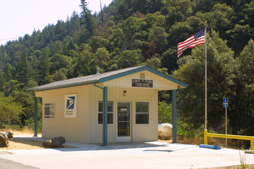
SAN-1 This claim is located just upriver from Forks of the Salmon. Look for our lower boundary sign on a tree just upriver from the post office. The upper boundary is located around 100 yards downstream from the first house on the left as you drive upriver from the Forks. Look for a gulch on the left, where a culvert passes under the road. That is the upper boundary. The claim is around 3/10ths of a mile long. Access is rather limited, but there are some areas where a person can get down to the river. There are some very nice pools and riffles along the claim, with lots of exposed bedrock, on the far side of the river. Please be careful not to park in any way that could obstruct traffic on the main road.
Upper Klamath :: Upper-mid Klamath :: Mid Klamath :: Lower Klamath
Elk Creek :: Indian Creek :: Scott River :: Thompson Creek
Salmon River Main Stem :: Salmon River North Fork
Master List of Mining Properties
ACCESSIBILITY: Most of the gold properties available to our members are near roads which parallel them, and are reasonably accessible. Under most conditions, 4-wheel drive vehicles are not needed. However, some people do like to get off by themselves, and we have plenty of property which will fulfill their needs for solitude and serenity.
Important note concerning Mining & Dredging Seasons on this Property
Google Earth Coordinates: 41 47’30.4″N 123 20’48.0W
To view the content from the link above you will need to have Google Earth installed on your home computer. Download Google Earth
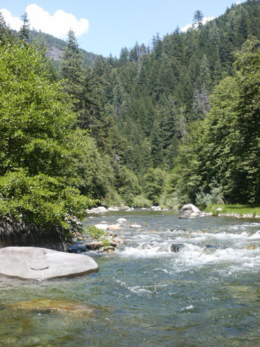
K-19A LOWER WOODS BAR CLAIM – This claim begins just upstream from the Richardson Bedrock Mine (just upstream from Happy Camp), and follows the river all the way and connects with our Morgan Point claim at K-19.
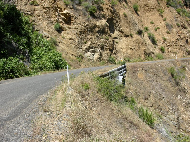
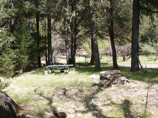
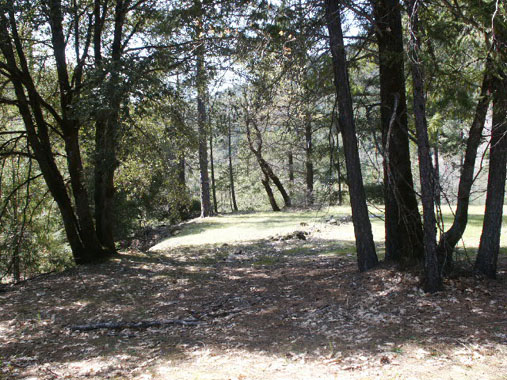
There is private property between Highway 96 and this claim; so access can either be with the use of a boat from Happy Camp, or from a primitive river road access near the bottom of the claim on China Grade Road (on the other side of the river). You get to China Grade Road by driving down through Happy Camp and crossing the Klamath on the bridge below town. China Grade Road is just on the other side of the river, going in an upstream direction. The primitive access road (look for our sign on a tree 2.4 miles up China Grade Road) extends down near the river towards the lower-end of the claim. There is some limited camping down on the old access road.
IMPORTANT: All of the property on both sides of the river is private property except for the lower-end of this claim on the far side of the river. However, with the exception of a few points of private property which might extend a short distance out into the river, nearly all of the river is U.S. Forest Service land, and is part of our mining claim. Therefore, unless you have prior approval from private property owners, the only access to the upper portions of this claim is with the use of a boat.
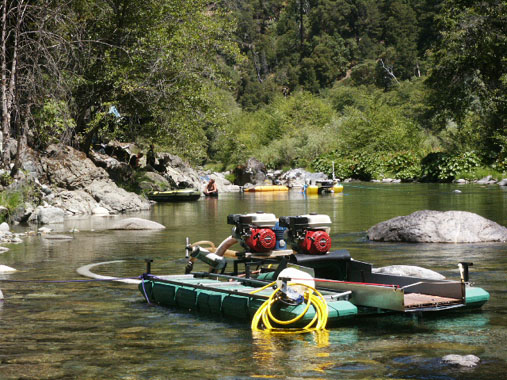
PROSPECTS: Bedrock is showing all over the claim, so should be found also very shallow in the gravels. Several members have been dredging near the lower-end of the claim. The gold deposits should be very good, since the famous Muck-A-Muck hydraulic mine was located all along the inside bend of this claim.
Upper Klamath :: Upper-mid Klamath :: Mid Klamath :: Lower Klamath
Elk Creek :: Indian Creek :: Scott River :: Thompson Creek
Salmon River Main Stem :: Salmon River North Fork
Master List of Mining Properties
Important note concerning Mining & Dredging Seasons on this Property
Google Earth Coordinates: 41 16’42.9″N 123 16’1.1″W
To view the content from the link above you will need to have Google Earth installed on your home computer. Download Google Earth
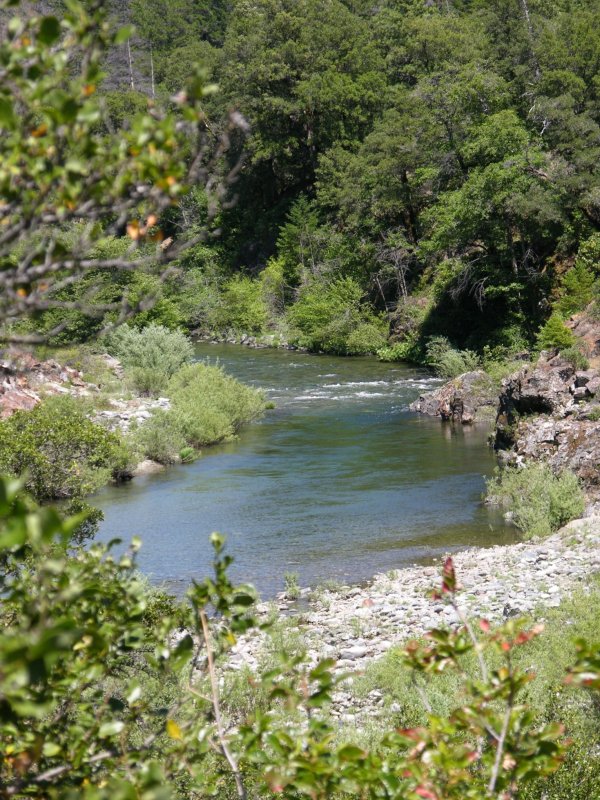
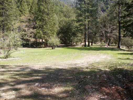
SAN-2 is located around 4 miles upstream on the North Fork from the Forks. Upper and lower boundaries are posted on trees alongside the Salmon River Road. There is a large flat area located along the lower end of the claim, which includes a good river access, and a lot of shaded area for camping. Long-term camping is allowed at this location. Look for the small sign that says: “Engine Fill site.”
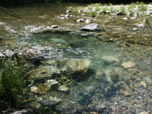
There is a lot of bedrock showing along the edge of the river. This area is great for panning. There is a lot of original streambed showing along-side the active waterway. The upper portion of the claim is less accessible, but there is a good trail extending down from the road. Look for one of our claim signs on a tree near the trail-head. One of the most interesting features about this claim is the appearance of original streambed material alongside the river for the entire length of the claim. As this is a proven very rich section of river, the natural streambed material is a good sign that rich values should be present. Several members have been dredging up there and finding pretty good gold. The water is generally shallow and clear. The streambed material usually is not very deep to bedrock.


