Important note concerning Mining & Dredging Seasons on this Property
Google Earth Coordinates: 41 46’10.3″N 123 20’18.2″W
To view the content from the link above you will need to have Google Earth installed on your home computer. Download Google Earth
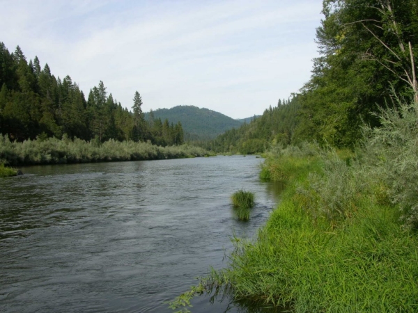
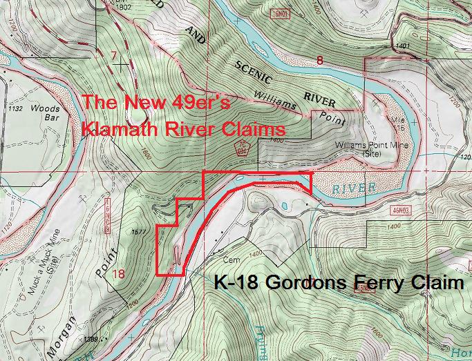
K-19 MORGAN POINT CLAIMS – Located 5 miles upriver on China Grade Road from the Klamath River bridge, just below Happy Camp. China Grade Road is on the opposite side of the Klamath River from Highway 96. You find it by crossing the Klamath River bridge, just upriver from the confluence of Indian Creek, and turning left. Our river access and small campground is located at around the 5.1-mile distance. The upriver claim boundary and access is 1/10 of a mile further upstream. The lower boundary marker is on a tree alongside the road near the 5.0 mile marker along-side the road. Private property is located on the far side of the river, so access is available only from China Grade Road.
PROSPECTS: Bedrock is showing all over the claim, so can be found also very shallow in the gravels. We have very little information about what members have done here. However, the claim just upriver provided excellent gold deposits to dredgers, with many ounces recovered.


Upper Klamath :: Upper-mid Klamath :: Mid Klamath :: Lower Klamath
Elk Creek :: Indian Creek :: Scott River :: Thompson Creek
Salmon River Main Stem :: Salmon River North Fork
Master List of Mining Properties