Click on claim numbers for details and maps of the claims.

Click on claim numbers for details and maps of the claims.
Important note concerning Mining & Dredging Seasons on this Property
Google Earth Coordinates: 41 51’31.3″N 122 45’1.5″W
To view the content from the link above you will need to have Google Earth installed on your home computer. Download Google Earth
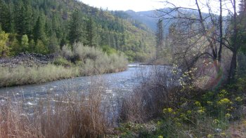
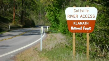
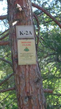
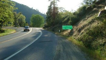
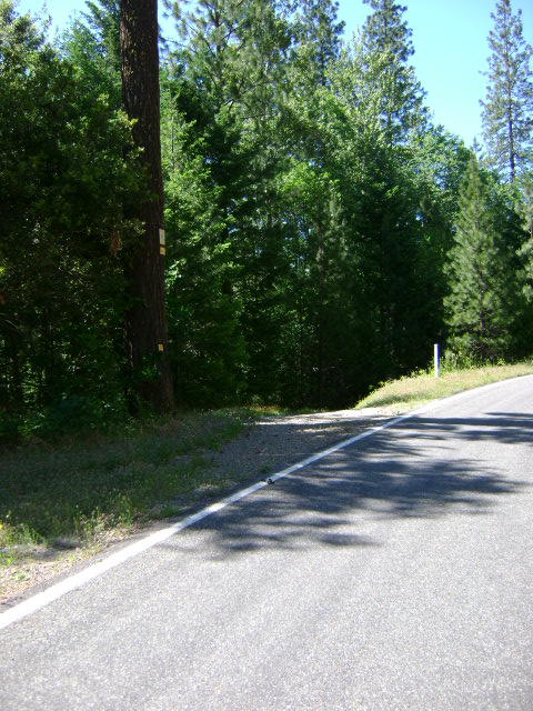
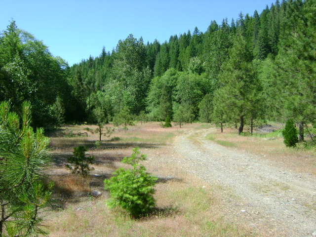
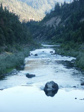
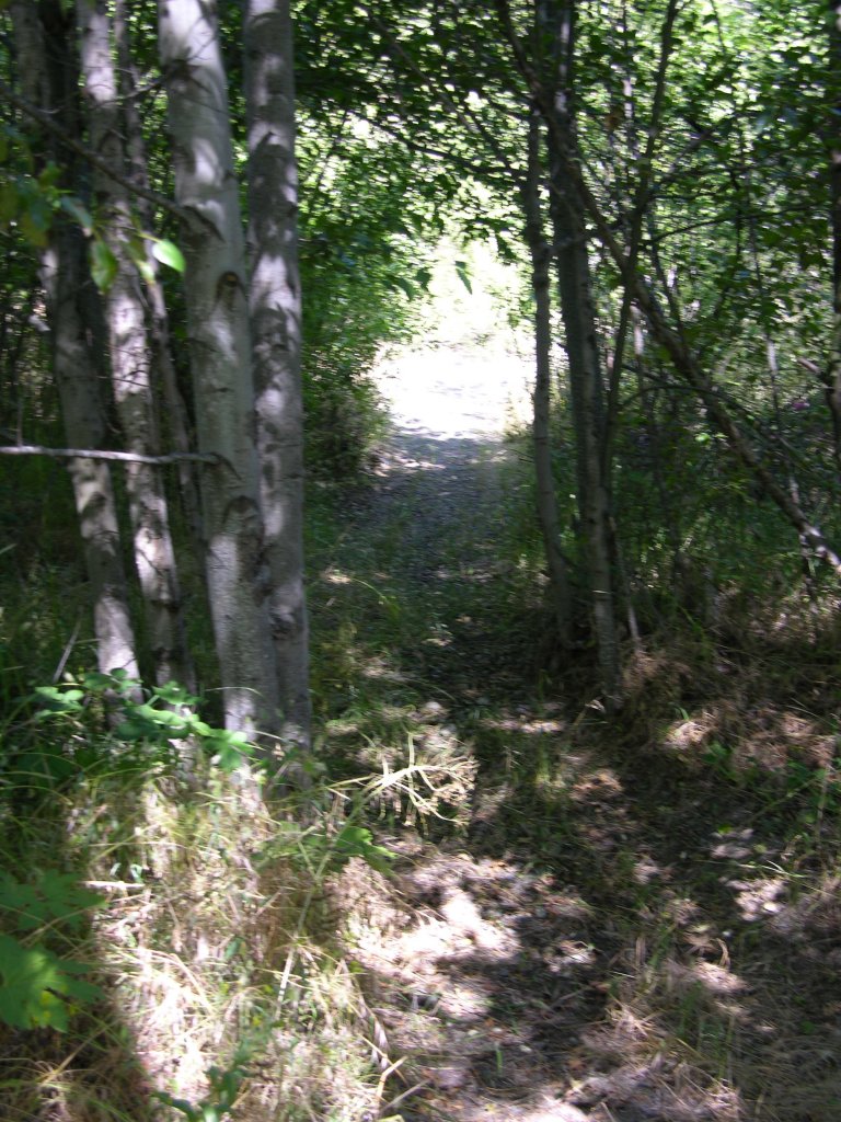
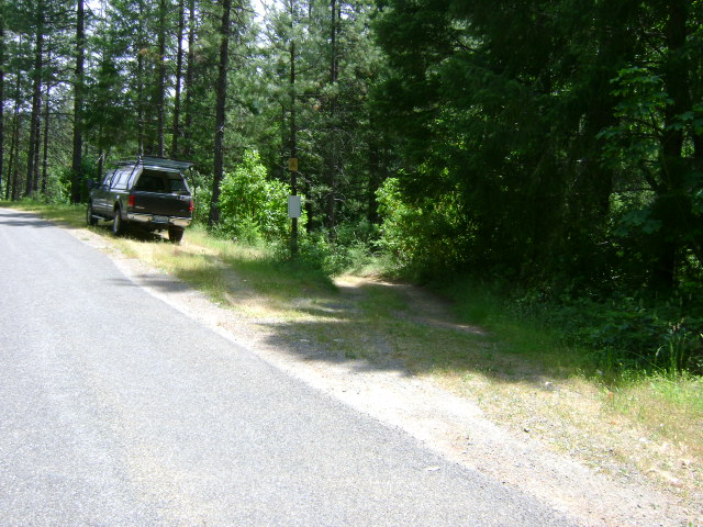
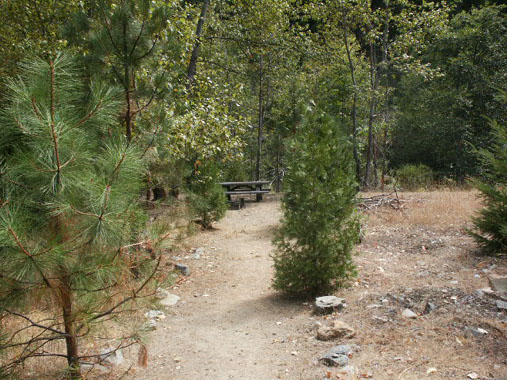
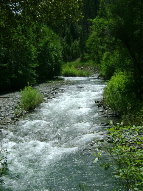
K-2A GOTTVILLE MINING CLAIM – Location: This property is located around 4 miles upstream from the community of Klamath River. The upper boundary sign is posted on a tree near mile marker 92:33. The lower boundary sign is posted on a tree near mile marker 91:83.
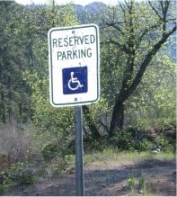
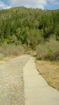
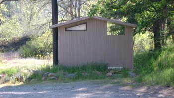
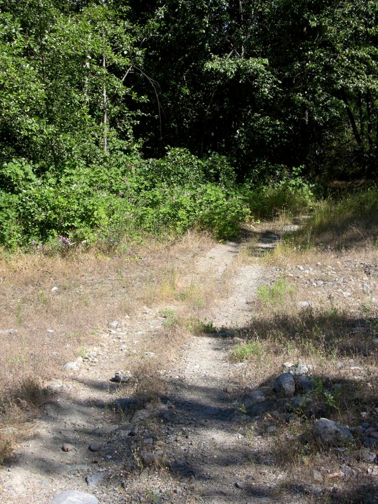
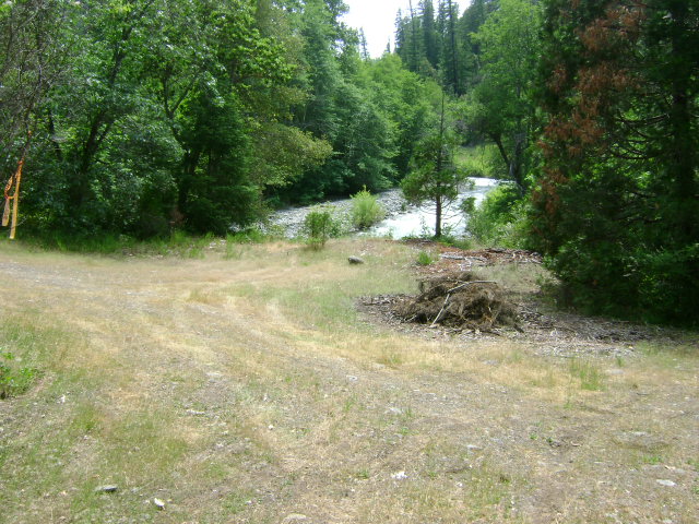
Access: There is a really nice developed USFS river access which can be found at mile marker 92:14. A high-quality, toilet facility exists there, along with a special disabled parking location. There is even a special sidewalk to allow disabled persons more-easy access to the river. As other river users make use of this developed access, we will please need to be very mindful to not block the access with our own activity. By this, we mean we will not be doing any camping down on the river access, and any parking must be accomplished in such a way as to not block access to others who will want to get in there with boat trailers and turn around.
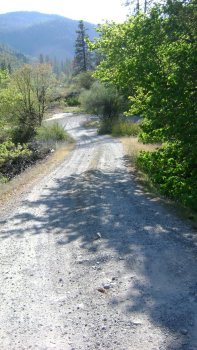
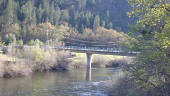
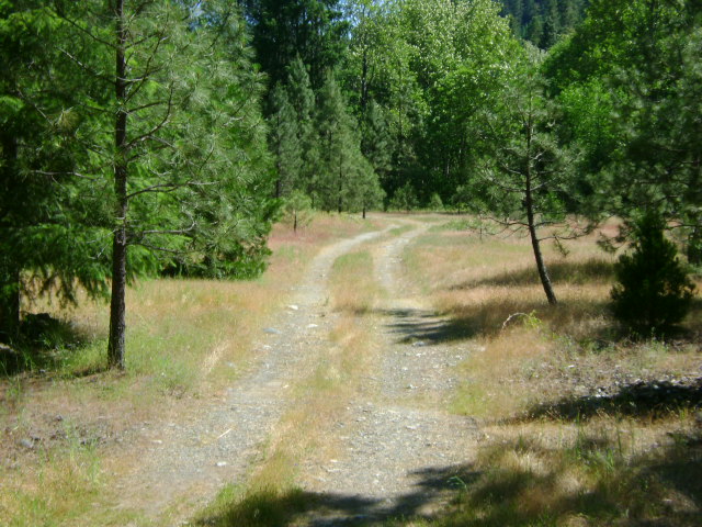
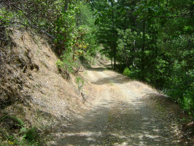
There is also some pretty good access on the far side of the river. The best way to get over there is to drive downriver on Highway-96 to the Walker Road Bridge (at mile marker 84:04), turn left, and drive about 7 miles upriver on a pretty good road which exists on the far side of the river. We have our claim boundaries posted over there, as well.
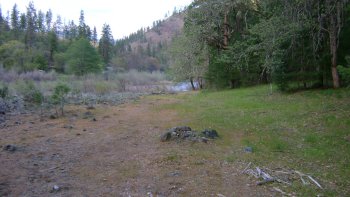
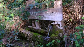
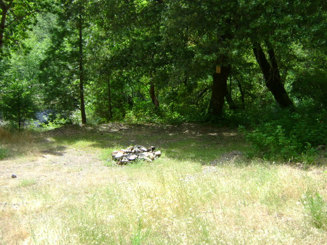
Camping: There is a limited-sized camping area on the Highway-96 side of the river towards the top-end of the claim. There is a larger camping area at the river access area on the other side of the river. It would be smart to look at either one of these before deciding to drive RV’s down into them (to make sure you can get back out of there!). By the way, there is developed fresh water on the claim flowing from a spring on the far side of the river.
Perhaps the best camping available is located on K-2 at Skeahan Bar, which is located just three miles upriver. Skeahan Bar provides an extensive camping area. It is also a really good place to mine!
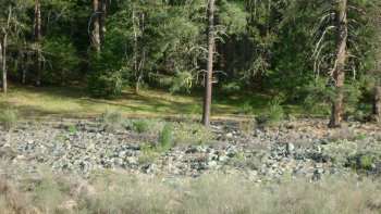
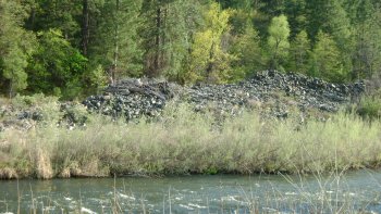
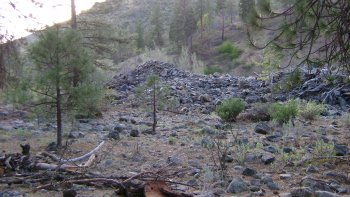
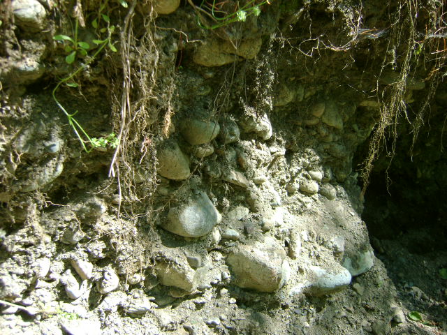
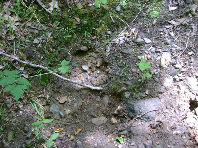
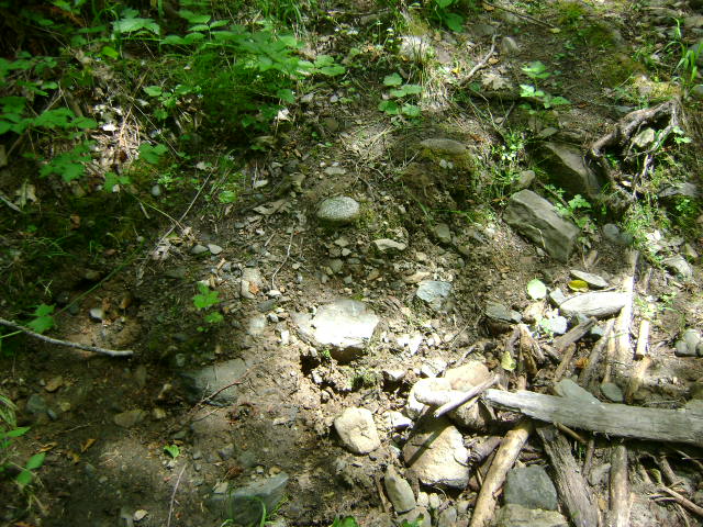
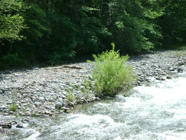
 PROSPECTS: This section of river has perhaps the most proven rich mining history of all our mining properties. It is well established that one of the best ways to establish rich gold deposits today is to go to the exact areas where the old-timers found them. To see where the old-timers struck it rich, just look for where they left the large rock piles behind. You will find more huge old rock piles in the Gottville Mining District, than anywhere else along the Klamath River. There are a bunch of them on this claim!
When looking at these single, stand-alone rock piles, it is important to understand what they are. Most of them were not formed off the backside of some massive gold recovery systems. In other words, they are not actually “tailings.” The huge single piles, as we see them on this new claim, were mostly associated with large, mechanized derricks. These were used to drag buckets of material and boulders out of large hand-excavations that were being dug out in the river – or sometimes in the bars alongside the river. To get a better understanding of this, please read Wing dams & Derrick Piles
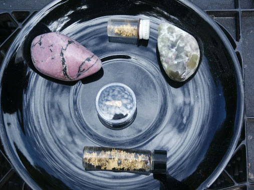
Here follows a Sampling Report which was authored by several experienced New 49’er Members who sampled the claim before the Club purchased it.
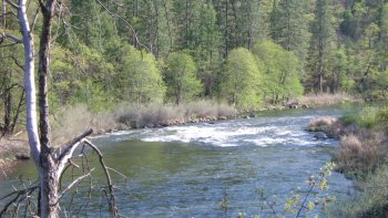
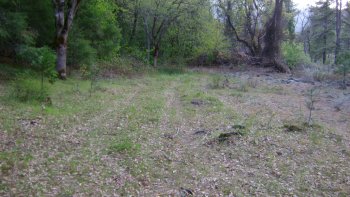
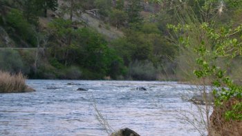
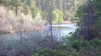
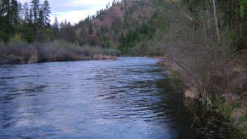
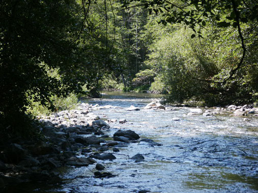
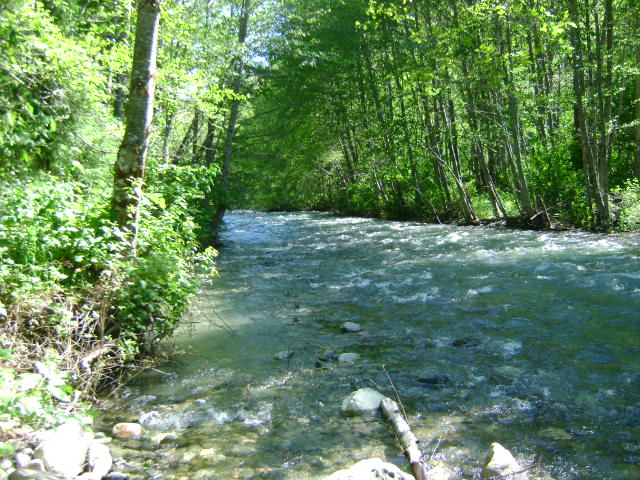
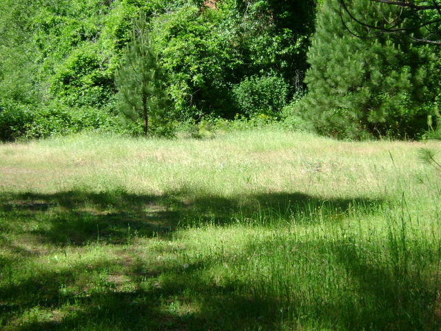
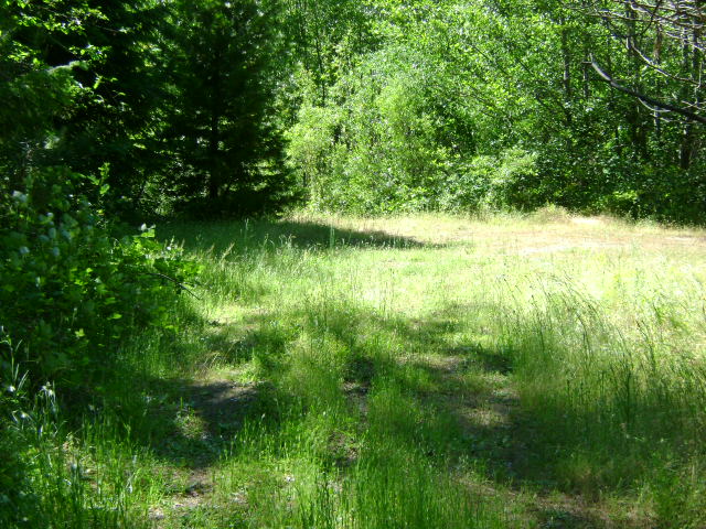
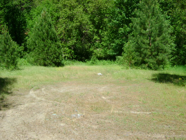
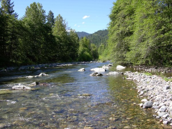
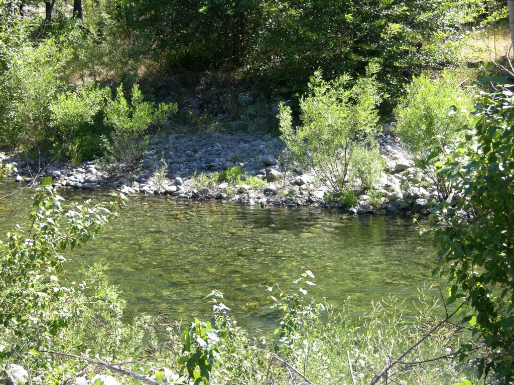
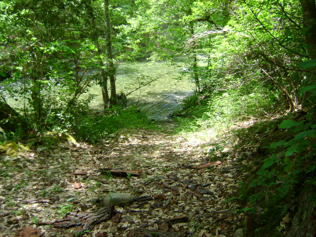
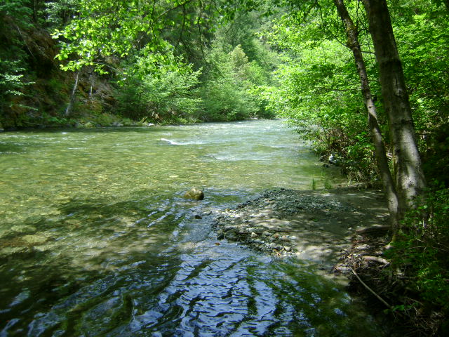
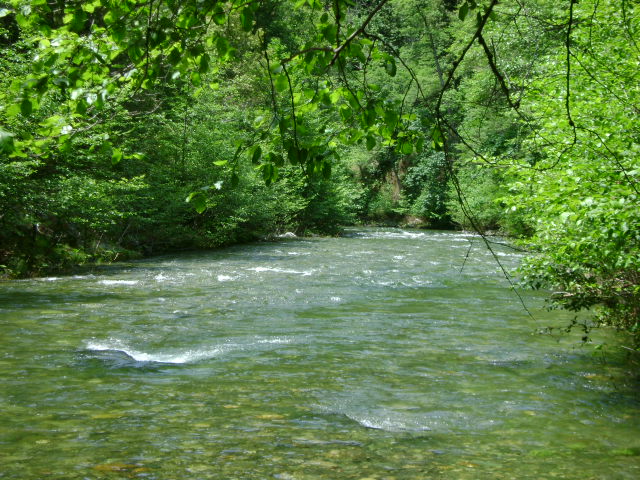
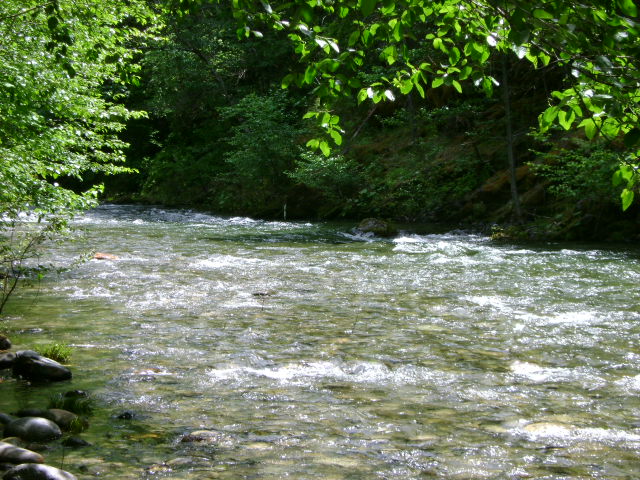
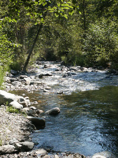
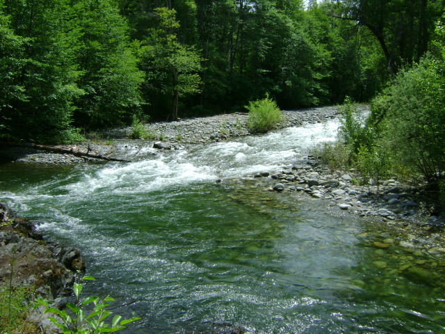
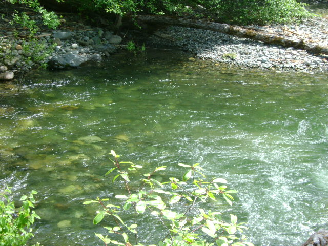
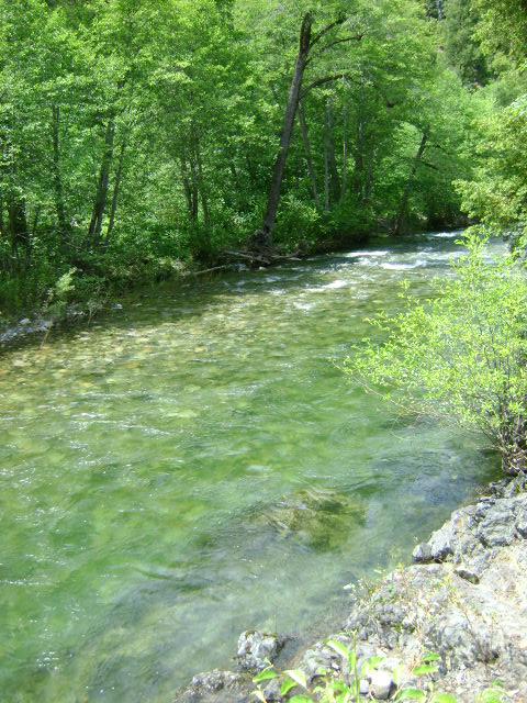
If you look at the images here, you will see that there is some fantastic river-diversity on this claim – nice river bends, some slow water areas and at least four natural riffles (rapids) which will have contributed nicely to forming well-developed gold paths and pay-streaks in the river and on the banks. While we have reports of nice gold coming out of the piles, there should be good potential in the dry streambeds alongside of the river, too.
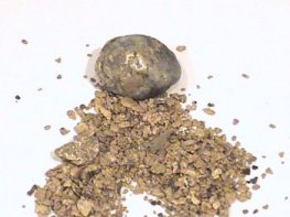
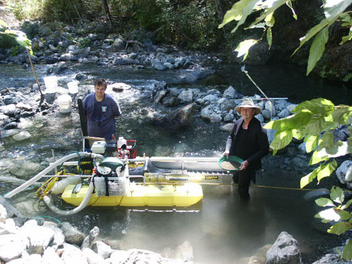
Based upon the sampling report authored by Sean, there should be some, for lack of an easier term, “recreational” excellent dredging opportunity within a re-deposited pay-layer that is close to the surface of the river-bottom. By “recreational,” we mean perhaps the pay-dirt can be reached with smaller-sized dredges or members who are not able to invest substantial time and/or physical effort (we all have our personal limitations).
There is going to be some very serious, commercial dredging opportunity for those members who possess the experience and resources to access the remaining original streambed at the bottom of the river. There will be some rich gold deposits on this claim!
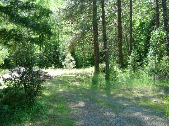
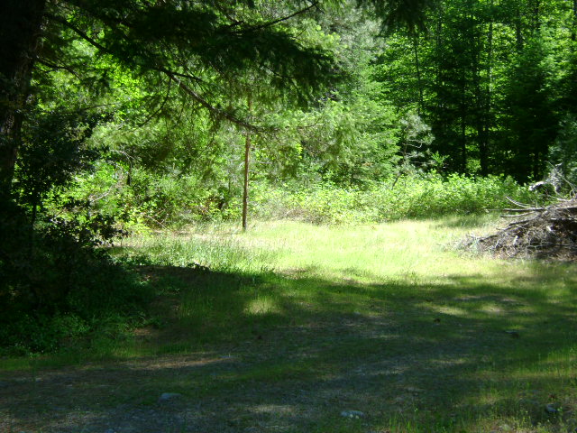
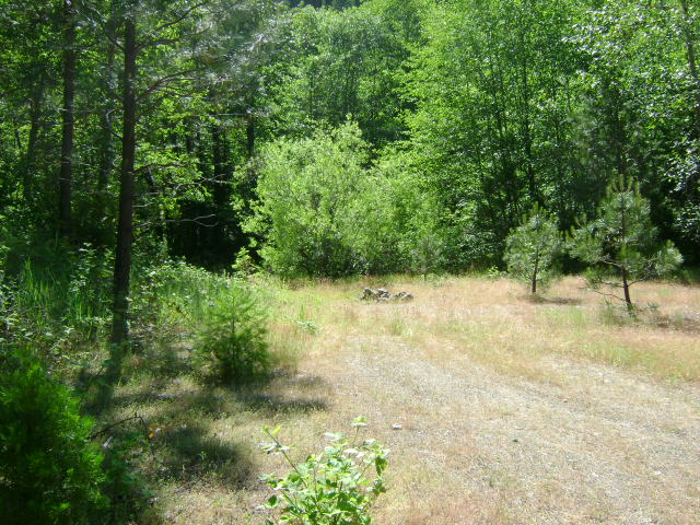
More images: Map of K-2A Signs Walker bridge Slow water areas


Upper Klamath :: Upper-mid Klamath :: Mid Klamath :: Lower Klamath
Elk Creek :: Indian Creek :: Scott River :: Thompson Creek
Salmon River Main Stem :: Salmon River North Fork
Master List of Mining Properties
Important note concerning Mining & Dredging Seasons on this Property
Google Earth Coordinates: 41 53’37.1″N 123 26’4.5″W
To view the content from the link above you will need to have Google Earth installed on your home computer. Download Google Earth
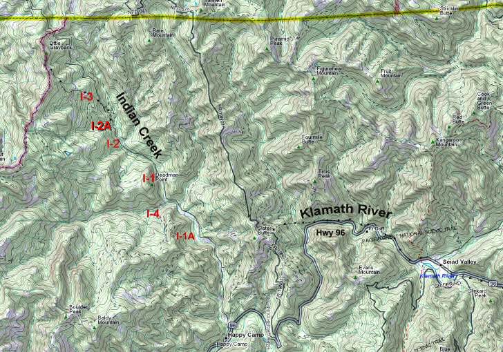
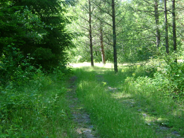
I-1 LOWER MAIN INDIAN CREEK CLAIM – is located about 8 miles up Indian Creek Road from Happy Camp. The lower boundary is located 1/2 mile upstream from the Indian Creek Bridge at South Fork. There is an access road and campground that leads off to the left, 8/10 of a mile up Indian Creek Road from the bridge at South Fork. The up-creek boundary of the claim is 1.8 miles up Indian Creek Road from the bridge at South Fork-or 2/10 of a mile up Indian Creek Road from the Forest Service #18N180 road. There are several paths which have been created to gain access to the creek.
PROSPECTS: Toward the upper end of these claims, several members were doing quite well recovering fine gold and flakes off a flood layer approximately 18 inches deep into the gravel. Bedrock could be much deeper in some locations. Indian creek has a very proven record of good gold deposits. It is not necessary to reach bedrock, because there is also a flood layer on these claims that is paying well in fine and flake gold.


Click on claim numbers for details and maps of the claims.

Important note concerning Mining & Dredging Seasons on this Property
Google Earth Coordinates: 41 51’47.9″N 123 24’10.0″W
To view the content from the link above you will need to have Google Earth installed on your home computer. Download Google Earth
I-1A INDIAN CREEK AT LUTHER GULCH — is located 5.3 miles up Indian Creek Road from the Club office in Happy Camp. Watch for our directional signs posted on trees (both sides of the road). There is a dirt road that extends down towards the creek from Indian Creek Road. Take the right-side split in the road, and you will see a gate. Please keep the gate closed. The combination on our lock is: 0212. There is little camping available on the creek-side of the gate. Please don’t block the access road. Watch for an ATV trail that follows alongside the creek bed. The claim’s upper and lower boundaries are posted on trees alongside the creek.


Important note concerning Mining & Dredging Seasons on this Property
Google Earth Coordinates: 41 46’26.2″N 123 22’39.1″W (at top of road access)
To view the content from the link above you will need to have Google Earth installed on your home computer. Download Google Earth

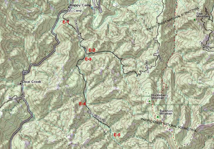
E-1 LOWER ELK CREEK CLAIMS
These claims have a primitive access road leading down near to them, which can be found 1.9 miles up Elk Creek Road, on the right-hand side. The access road is not difficult to find because it is the only one leading toward the creek within the vicinity. The access road is narrow and bumpy and extends 1/3 of a mile down to the creek. We suggest you look before driving in. There is no room to turn a trailer around at the bottom. Because there is so little room at the bottom, we ask that members do not camp down there. The parking area is actually located on the upstream adjoining claim. The upper creek boundary is posted on a tree several hundred yards downstream from the road access point. The lower boundary is also posted on a tree alongside the creek.
PROSPECTS: This section of Elk Creek is proven to carry rich gold deposits, so the prospects are excellent.

Important note concerning Mining & Dredging Seasons on this Property
Google Earth Coordinates: 41 54’37.5″N 123 26’59.6″W
To view the content from the link above you will need to have Google Earth installed on your home computer. Download Google Earth
I-2 UPPER MAIN INDIAN CREEK CLAIM – has its downstream boundary posted 2.8 miles up Indian Creek Road from the Indian Creek Bridge at South Fork. There are several access roads with camping along this claim. One is called “Coon Run” river access. This is located 3.1 miles up Indian Creek Road from the bridge at South Fork Road. The upper boundary is another 3/10 of a mile upstream-or is located 3/10 of a mile downstream from the next Indian Creek bridge.
PROSPECTS: This claim is located directly beneath the famous Classic Hill and County Mine hydraulic areas. The tailings from the old mines washed down during the 1964 flood, and deposited a fairly rich layer of flood gold from 18-inches to 2-feet into the streambed material. Members have been dredging and shoveling (out of the water), and have been doing well on top of a shallow streambed layer. This section of Indian Creek has a very rich history, and the prospects are excellent.
Important note concerning Mining & Dredging Seasons on this Property
Google Earth Coordinates: 41 44’31.4″N 123 21’3.2″W
To view the content from the link above you will need to have Google Earth installed on your home computer. Download Google Earth
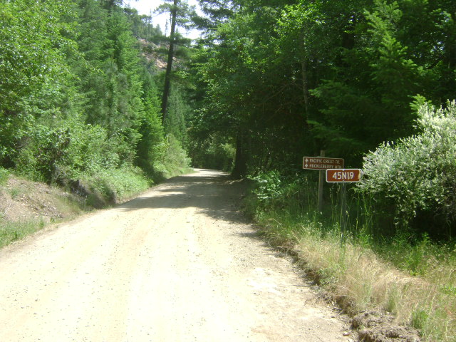
E-2 EAST FORK OF ELK CREEK CLAIMS – can be located by turning left on Forest Service road #45N19, just before the 5-mile bridge on Elk Creek. The first creek access and camping area is located about 1/10th of a mile up the road. Watch for the turn-off. The road actually leads to a very nice camping spot along the main fork of Elk Creek. As there is very limited room to turn things around in there, we suggest you look before driving in. The second access and camping area is located 3/4 of a mile up the same Forest Service road #45N19. There is a New 49’er directional sign pointing the way. The access road is primitive and narrow, and we recommend you look before driving into this area. There is very little room at the bottom to turn a trailer around. There is no lower boundary posted, because these claims connect to the E-3 Elk Creek claims at the confluence of the main stem of Elk Creek. The upper creek boundary is posted alongside the road 3/10 of a mile beyond a green gate. There is also an access point and small campground at this location. The remainder of the creek is reasonably accessible from the main road. Watch out for poison oak.
PROSPECTS: This is an excellent place to learn how to dredge, because the creek is shallow, boulders are generally not a big problem, the gravel is generally shallow to bedrock-and there are gold nuggets! The nuggets are associated with hard-packed streambed and lie along the bedrock in the cracks and traps. The claim is quite long, and for the most part has not been sampled or mined. The gold tends to be a bit spotty, so you have to have some patience. When you find it, it tends to be in small pockets along the bedrock. The prospects for gold recovery on these claims are good!


Click on claim numbers for details and maps of the claims.

| © 2013 | The New 49'ers Inc. P.O. Box 47 :: Happy Camp, CA 96039 :: (530) 493-2012 The New 49ers, all rights reserved. We appreciate your comments. Privacy Policy |
Information About the Club |
Learning Through Experience |
Camping & Lodging
Mining Properties | Events & Schedule | About the Area | What’s New Shopping | More About Gold | How to Find Gold | Gold Mining Adventures Message Forums | Legal & Political Affairs | Join | Contact | Links | Video Log-in Gold Mining Sampling and Consulting Services | California Gold Claims For Sale | Big Gold Nugget |
 |