Important note concerning Mining & Dredging Seasons on this Property

Google Earth Coordinates: 41 49’51.5″N 122 57’25.9″W

To view the content from the link above you will need to have Google Earth installed on your home computer. Download Google Earth


K-5 TEN SPOT CLAIM – The upper boundary is located at mile marker 79.00, and the lower boundary is located at mile marker 78.65. The boundary signs are well posted on trees alongside Highway 96. Access is reasonably easy.

PROSPECTS: This claim is located just upriver from our Brown Bear claims (K-6) which are producing very well, so the prospects are promising.

Click on thumbnail for larger image.

Map Thumbnail

Topo

Map Thumbnail

3D Down

Map Thumbnail

3D Up

Map Thumbnail

Aerial

Map Thumbnail

Satellite


Important note concerning Mining & Dredging Seasons on this Property

Google Earth Coordinates: 41 51’49.1″N 123 16’6.1″W

To view the content from the link above you will need to have Google Earth installed on your home computer. Download Google Earth


K-15A MEGA HOLE – The Mega Hole claims are quite long, the upriver boundary being located on a tree between the river and Hwy 96 near mile marker 55.62, about a ¼-mile below Fort Goff Creek – which is located about four miles upriver from Thompson Creek. The downriver boundary butts up against the Upper Glory Hole claims (K-15 at lower-Savage Rapids). Fort Goff Creek is easy to find, because there is a developed rest area at that location. There are also a few parcels of private property between Highway 96 and the river, toward the lower end of the Mega Hole claim. These parcels are posted. Otherwise, there is good access to most of the Mega Hole. The lowest parcel of private property, just above the Glory Hole, is a developed garden with a fence around it. That parcel extends 20 feet out into the river. Otherwise, most of the river is included along our mining claim. Longer-term camping areas for members are located on both sides of the highway, near Savage Rapids (mile marker 55.13), including on the large highway pull-off.

PROSPECTS: The Mega Hole has been one of the Club’s richest mining properties, with members recovering (estimated) hundreds of ounces of gold during recent years. Much of the lower portion of the Mega Hole has been dredged, although there are areas that were missed. The surface gold (out of the water) is excellent on both sides of the river, with nugget-sized gold being recovered off the Highway-96 side. Bedrock can be shallow to deep, depending on where you go. The upriver end of the claim still shows excellent potential for dredging since it has not yet been adequately tested.

The Club sponsored a Group Dredging Project on this claim during a recent season. We did so well, that we followed up with another dredging project and struck high-grade at the upper-end of the claim.

Dredging Gold with 24 people at K-14 & K-15A!

The Club then sponsored a Surface Mining Project on this claim. The high-banking was so good, that we followed up with another surface mining project and struck a high-banking production record at the top-end.

Click on thumbnail for larger image.


Map Thumbnail

Topo

Map Thumbnail

3D Down

Map Thumbnail

3D Up

Map Thumbnail

Aerial

Map Thumbnail

Satellite
 

Upper Klamath :: Upper-mid Klamath :: Mid Klamath :: Lower Klamath
Elk Creek :: Indian Creek :: Scott River :: Thompson Creek
Salmon River Main Stem :: Salmon River North Fork
Master List of Mining Properties


Important note concerning Mining & Dredging Seasons on this Property

Google Earth Coordinates: 41 49’24″N 122 57’47.3″W

To view the content from the link above you will need to have Google Earth installed on your home computer. Download Google Earth


K-6 BROWN BEAR CLAIMS – are located six miles up the Klamath from its confluence with the Scott River. The claim is located 1/2 mile upriver from the Walker Creek Bridge-which is where Highway 96 crosses the Klamath River. This bridge is about a mile upriver from Horse Creek. The upriver claim boundary is marked on a tree down the hillside from Highway 96 at mile marker 78.50. The downriver boundary (mile marker 77.86) is also well posted on a tree along Highway 96, across from the Klamath River Elementary School-which is visible from the highway. There is a developed river access (mile marker 77.97) and campground toward the upper end of the claim. Look for the USFS access sign along the road. The far side of the river can also be accessed by driving along Walker Creek Road, which is located just downriver from the Walker Creek Bridge. There is some private property on the far side of the river between Walker Creek Road and the river-watch for signs. Access is relatively easy from the Highway 96-side. The Forest Service restricts Club camping in this campground to a 2-week limit.

PROSPECTS: This claim has been producing good gold deposits for suction dredgers in relatively shallow gravel, on both sides of the river and the center. Most of the activity so far has been in and around the rapids located just down from the campground. For the most part, the claim has not yet been sampled and mined. The Club sponsored a Group Dredging Project on K-6, and recovered around several ounces of gold in around 5 days of work. You can read about the adventure at Two Gold Strikes At Brown Bear (K-6).

Click on thumbnail for larger image

Map Thumbnail

Topo


Important note concerning Mining & Dredging Seasons on this Property

Google Earth Coordinates: 41 51’36.6″N 123 18’33.3″W

To view the content from the link above you will need to have Google Earth installed on your home computer. Download Google Earth


K-16 ANDERSON CAMPGROUND CLAIMS – Located approximately 11 miles upriver from Happy Camp on Highway 96. The upriver boundary (mile marker 52.50) is located just downriver from the confluence of Thompson Creek. Look for the large piece of bedrock jutting up out in the river on the Hwy 96-side of the river. There is a “Private Property” sign hanging in some brush there alongside of the river. The downriver boundary (mile marker 51.85) is posted on a tree alongside the road, just downriver from the lower access to our campground. The campground (long-term) is located between Highway 96 and the Klamath River, 1/4 mile downriver from Thompson Creek near mile marker 52.28. Look for a “No Hunting” sign at the beginning of the road that leads into the campground off Hwy 96 towards the river. This is a popular camping area. There are several parcels of private property located between Highway 96 and the river, between Thompson Creek and our campground-but most of the private property does not come near the Klamath River. There is one small piece of private property that extends out about to the center of the river, directly at the confluence of Thompson Creek. The primary access to this claim is from the campground river access points.

PROSPECTS:This is a very rich section of the Klamath River, with hundreds of ounces of gold having been recovered by members during the past several years-mostly by dredging. There are nice nuggets being recovered from the road-side of the river downstream from Thompson Creek. Water and gravel depth ranges from shallow to deep, depending on where you go. Gravel tends to be shallow on both banks on the upper half of the claim, while deep in the middle. Only about 1/3 of the claim has been mined by members, if that, and good potential is present for new, rich strikes to be made. There is excellent panning and high-banking opportunity on the Highway-96 side of the river, from the bottom to the top-end of the claim. If you look towards the upper-end of the property, you will see that there are at least 3 separate levels of streambed up out of the water that deserve testing.

Click on thumbnail for larger image.

Map Thumbnail

Topo
 

Upper Klamath :: Upper-mid Klamath :: Mid Klamath :: Lower Klamath
Elk Creek :: Indian Creek :: Scott River :: Thompson Creek
Salmon River Main Stem :: Salmon River North Fork
Master List of Mining Properties


Important note concerning Mining & Dredging Seasons on this Property

Google Earth Coordinates: 41 49’16.3″N 123 0’35.9″W

To view the content from the link above you will need to have Google Earth installed on your home computer. Download Google Earth


K-6A HORSECREEK CLAIM – is located approximately 1 1/2 miles downstream from the suspension bridge at Horse Creek. Both the upper and lower boundary signs are posted near trees along Highway 96 (lower is approximately 200 feet upstream from mile marker 75.00) . There are some trails which provide access to the river.
PROSPECTS: Horse Creek had a rich history. The claim is located in a very proven section of the Klamath River.


Map Thumbnail

Topo


Important note concerning Mining & Dredging Seasons on this Property

Google Earth Coordinates: 41 48’22.9″N 123 1’0.8″W

To view the content from the link above you will need to have Google Earth installed on your home computer. Download Google Earth


K-7 KINSMAN CREEK CLAIMS – are located at the confluence of Kinsman Creek, which is two miles up the Klamath from its confluence with the Scott River. Kinsman Creek is not marked with an official sign, but it is a visible creek which enters the Klamath from the Highway 96-side. The upper boundary (near mile marker 74.00) butts up to posted private property at the lower end of the first gravel bar upstream from Kinsman Creek. The lower boundary (near mile marker 73.60) is clearly posted on a tree alongside the highway. Access to the river is reasonably easy.

PROSPECTS: Members have been doing really well dredging on this claim at the top end, in and around the river bend, and at the lower end. So far, very little work has been done in-between. There is a lot of fine gold throughout all the streambed material on these claims. The highest-grade deposit we know of was recovered off the top of a cemented gravel layer near the bedrock towards the upper end of the claim. There are nuggets. The Club sponsored a Group Dredging Project on K-7, and recovered around 7 ounces of gold in around 5 days of work. You can read about the adventure Here.

Then we followed up with yet another great adventure, recovering another six ounces of beautiful gold. This exciting story with free video segments can be found Here

Click on thumbnail for larger image.

Map Thumbnail

Topo

Map Thumbnail

3D Down

Map Thumbnail

3D Up

Map Thumbnail

Aerial

Map Thumbnail

Satellite


Important note concerning Mining & Dredging Seasons on this Property

Google Earth Coordinates: 41 49’14.6″N 123 18’8.1″W

To view the content from the link above you will need to have Google Earth installed on your home computer. Download Google Earth


K-17 SEATTLE CREEK CANYON CLAIM – The downriver boundary (mile marker 49.12) is located 7.3 miles upriver on Highway 96 from Davis Road in Happy Camp. A sign is posted on a tree alongside the road. The upper boundary (mile marker 51.00) is located 2 miles further upriver, near the confluence of Seattle Creek. There is a developed river access (mile marker 51.00) at Seattle Creek, where we have a small campground. The Forest Service asks that we do not block the river access in any way, since it is a popular put-in and take-out location for other river users.

PROSPECTS: This is a very proven gold-rich section of the Klamath River, with hundreds of ounces of gold having been recovered by Club members during the past several years. Much of this section of the river has yet to be tested. Some of it is pretty deep, both in water and gravel. There is excellent gold panning, mossing and surface mining on both banks of the river. The far bank has barely been touched by modern mining activity because access requires a boat. Trails and paths have been made from Highway-96 to the river in multiple locations along the 2-mile stretch of claims. Some members have transitioned from prospecting to commercial status as a result of the gold they recovered from these claims. Prospects for new discoveries are very good.

Click on thumbnail for larger image.

Map Thumbnail

Topo

Map Thumbnail

Lower 3D Down

Map Thumbnail

Lower 3D Up

Map Thumbnail

Upper 3D Down

Map Thumbnail

Upper 3D Up

Map Thumbnail

Aerial Lower

Map Thumbnail

Aerial Upper

Map Thumbnail

Satellite

Upper Klamath :: Upper-mid Klamath :: Mid Klamath :: Lower Klamath
Elk Creek :: Indian Creek :: Scott River :: Thompson Creek
Salmon River Main Stem :: Salmon River North Fork
Master List of Mining Properties


Important note concerning Mining & Dredging Seasons on this Property

Google Earth Coordinates: 41 46’52.0″N 123 19’44.2″W

Google earth view of the entire claim, the location of private property, and our Gordon’s Ferry location downstream.

To view the content from the link above you will need to have Google Earth installed on your home computer. Download Google Earth


Klamath River Claim K-18


K-18 GORDON FERRY CLAIM – Located by driving upriver from Happy Camp on Highway 96 a distance of 2.3 miles to Gordon’s Ferry Road (mile marker 44.25) from Davis Road. Follow Gordon’s Ferry road, watching for signs that will direct you to the river access on our claim. The road turns to gravel and branches off to driveways for different private properties. Stay on the main road. Eventually, the road splits, with Club claim signs pointing in both directions. The right-hand road is not maintained and does not go to the river. But there is some limited camping there. It is suggested you walk in and look before driving in there. The left-hand road leads to a USFS developed river access. We have a campground at this location, which may require some brushing. The upriver claim boundary is located approximately 300 yards upriver from the developed river access. The downriver boundary is located approximately half a mile downriver and has a boundary sign posted on a tree. Private property is located on the far bank, but there is some limited access from that side.

PROSPECTS: This is a very proven, rich section of the Klamath River, with gold mining history going back to the very early days. A large amount of gold has been recovered by members all over this claim on both sides of the river and in the middle. Members have recently been working a significant underwater dredge deposit on the far bank across from the developed river access, upstream from the first set of rapids. The lower-end of the claim has not been adequately tested, but should contain rich deposits, since rich deposits have also been located on the adjoining claim just down river. Bedrock can be shallow or deep, depending upon where you go on the claim. There is potential good high-banking ground towards the lower-end of the property near the river, and there is an extensive old hydraulic mining area where electronic prospecting might be productive.

Upper Klamath :: Upper-mid Klamath :: Mid Klamath :: Lower Klamath
Elk Creek :: Indian Creek :: Scott River :: Thompson Creek
Salmon River Main Stem :: Salmon River North Fork
Master List of Mining Properties


TYPES OF MINING PROPERTY: We have access to miles of beautiful creek property on the forks of Elk Creek, Indian Creek, Thompson Creek, the Scott River and the Main Stem & North Fork of the Salmon Rivers –all proven in their gold production. Depending upon the property location, water depth can be inches deep to five feet deep or more. Streambed material depth can be the same. There are some areas with a great deal of gold-catching bedrock showing. Gold deposits in creeks and small rivers tend to be more spotty and inconsistent than deposits along the Klamath River. Also, creeks and some areas of small rivers tend to yield more gold in the boulders. Creek prospectors should come prepared with boulder-moving equipment.

Along the miles upon miles of Klamath River properties, water depth can be from inches deep to 15 feet or more in some locations. Streambed material depth can be the same. We have an enormous amount of property available on the Klamath for all different types and sizes of operations.

While the Klamath is a fair-sized waterway, members and guests have found an abundance of mining areas suited for panning, mossing, sluicing (with and without motorized pumps), dry-washing, electronic prospecting and other types gold prospecting activity.

MINING & DREDGING SEASONS IN CALIFORNIA: The State of California recently passed a law which has placed a statewide moratorium on suction dredging in California until the Department of Fish & Game (DFG) completes an updated Environmental Impact Report (EIR). This EIR process has already begun. Under the present schedule, public hearings will begin in November of 2009. DFG is projecting to complete the process by the fall of 2011. Click here for more information.

Just in case you didn’t know, this new law only stops suction dredging within California’s active waterways. It does not have anything to do with the other types of prospecting or mining that we do in California. Unaffected prospecting activities include panning, sniping & Vack-mining, sluicing & high-banking, booming, electronic prospecting and other types of prospecting that do not use a suction nozzle within an active stream, river or creek. It also does not affect our group weekend projects.

There are no seasons imposed upon these other types of mining activity. In other words, you can do them at any time of the year.

Please be advised that these other types of mining activity along New 49’er properties are subject to a strict set of Surface Mining Operational Guidelines.

As the suction dredging seasons in California have been suspended, we have identified some fantastic suction dredging opportunities for our members in Southern Oregon.


By Troy (Hank) Donovan


Book graphic
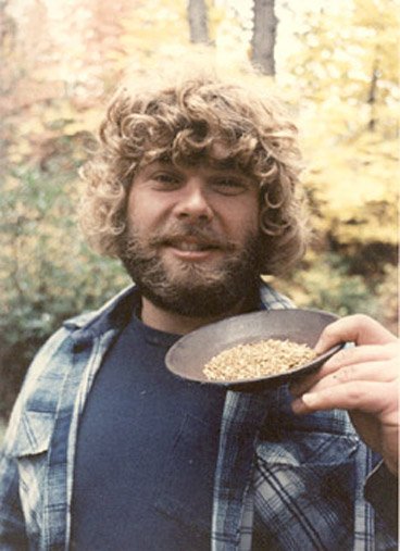
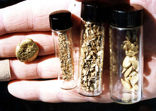
To become a successful gold prospector, research must top your list of things to do. Research will provide you with a never-ending source of future prospects. Experiencing the joy of being in the field, while enjoying these exciting and rewarding activities, should be a major priority for everyone. Furthermore, repeated trips going into the field, being successful, attaining your goals, and coming home with golden treasures is what puts the icing on the cake. The main ingredient to help ensure success in gold prospecting is taking the time to do truly adequate research and planning.

Research is the “all-important” first step that needs to be accomplished. Learn everything you can about the activity. Read appropriate books and magazines, and speak to other people with the same interests. The Internet provides many vital connections. E-mail other enthusiasts. This will prove to be very useful in the future, and can help you now! There are many web sites worth examining. Thousands of Internet sites are just bursting with useful, valuable information which can help you.

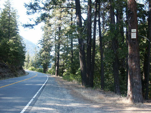
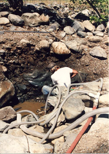
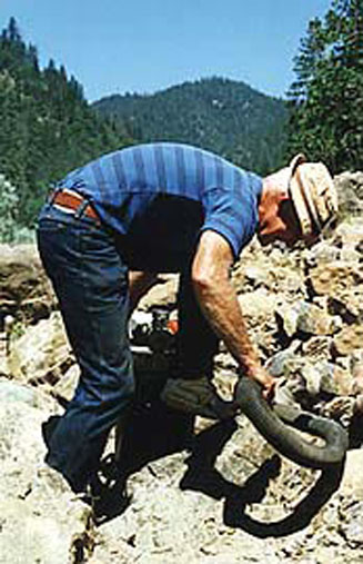
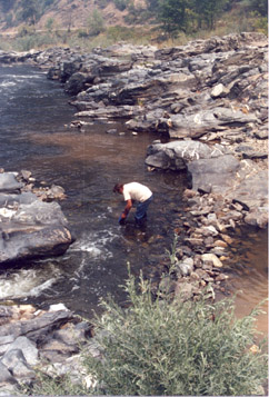
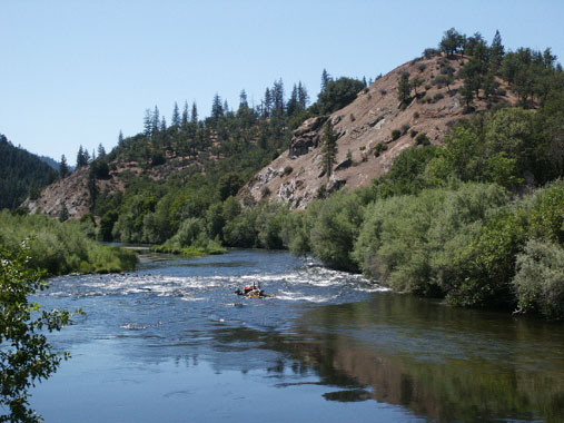
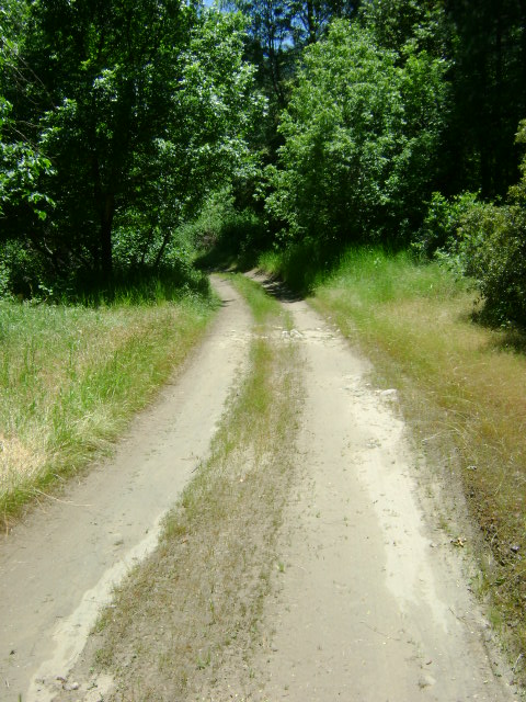
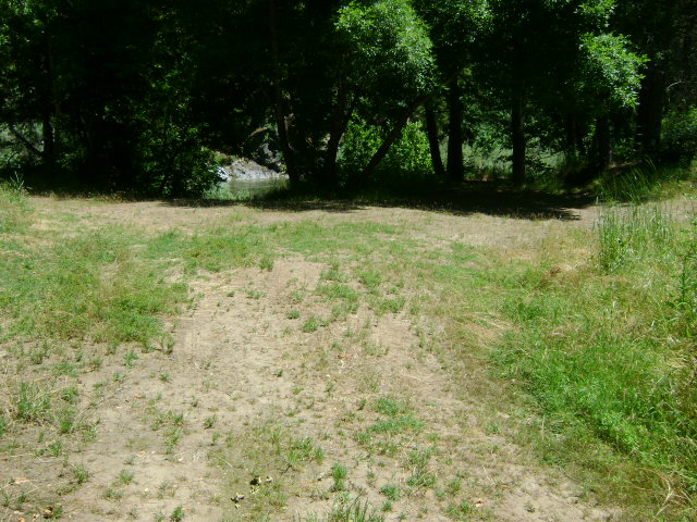
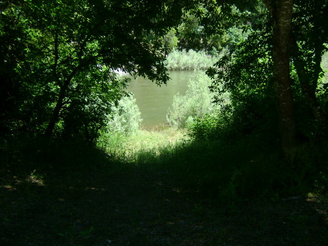
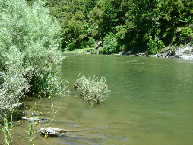
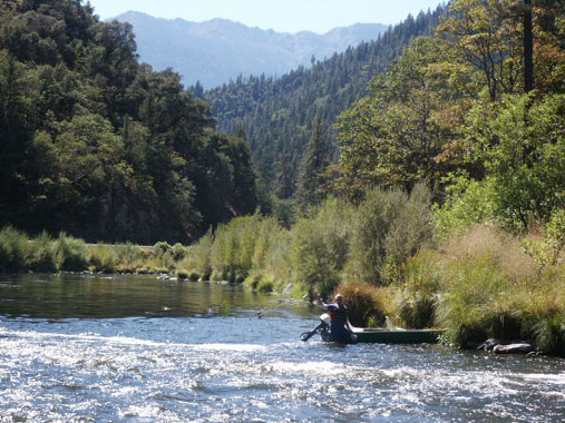
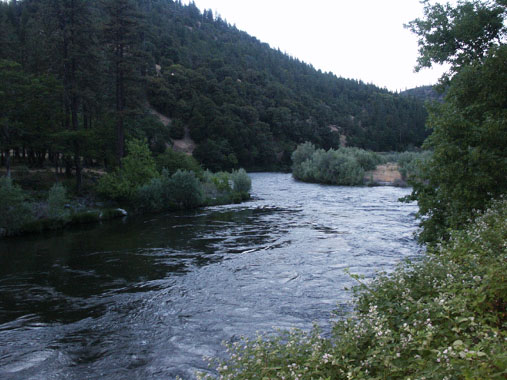
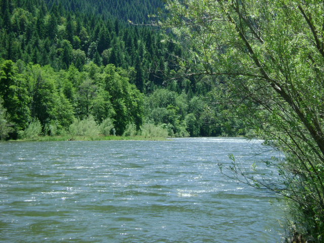
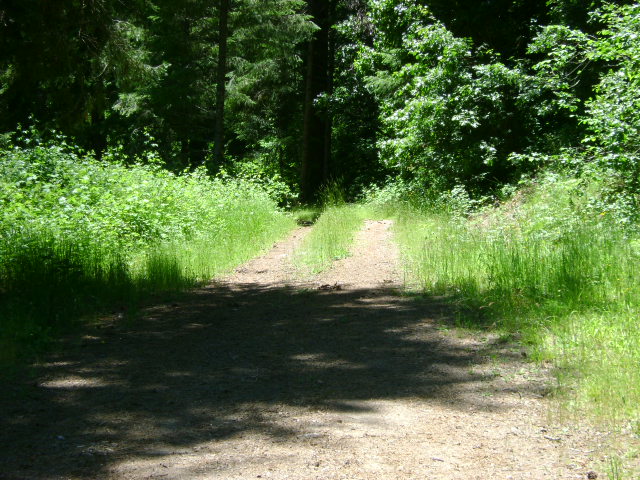
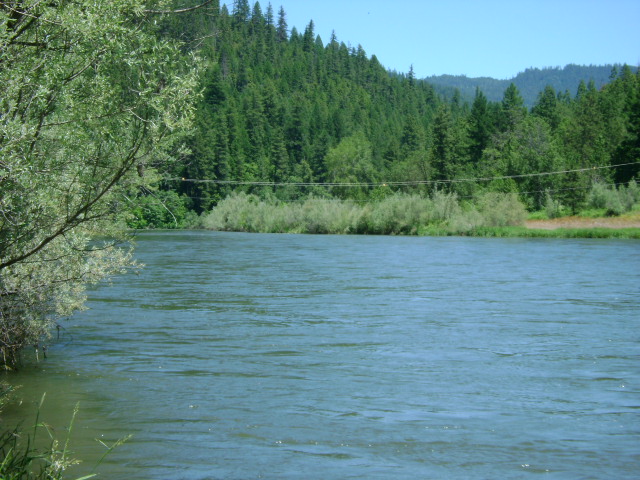
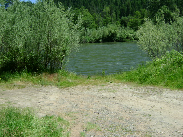
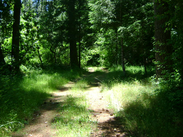
Another very important component of research is putting lots of time in the field. The time you spend in the field provides you “hands-on” familiarity with your equipment and the areas where you are prospecting.

These hints are just the tip of the ice-berg of research. Become familiar with your equipment. Start to develop an intimate “feel” for what you are doing, and what you are looking for. Make some good connections through various prospecting clubs and associations and Internet sites. Then, it is time to begin the arduous, but rewarding, task of developing some of your own “hot spots.”

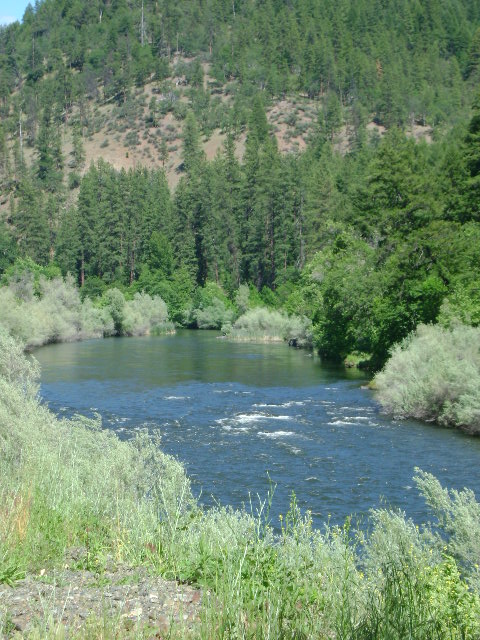
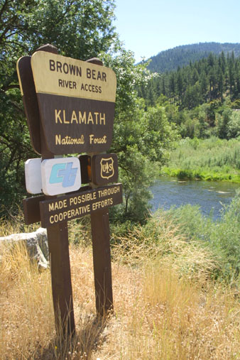
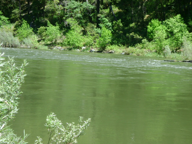
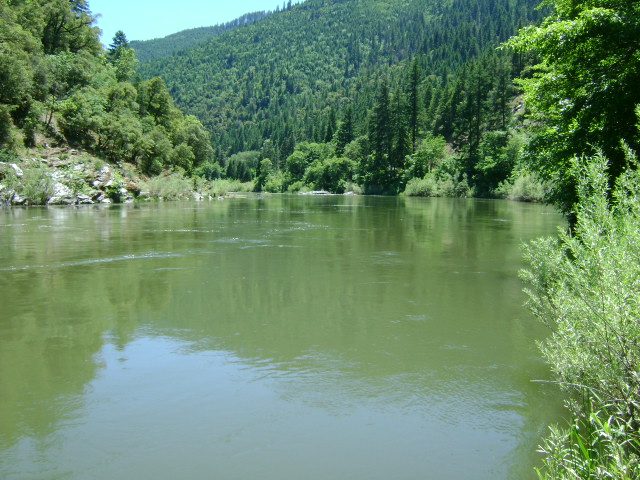
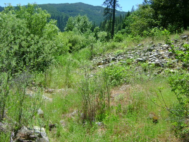
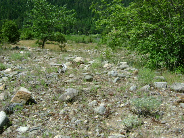
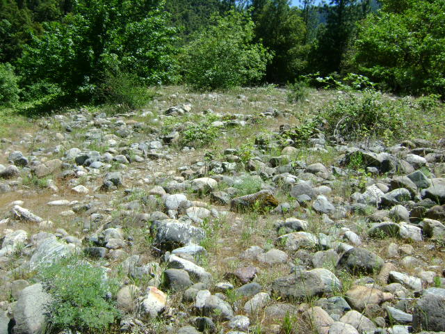
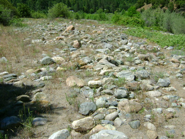
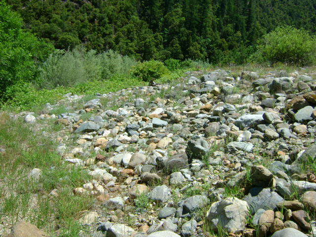
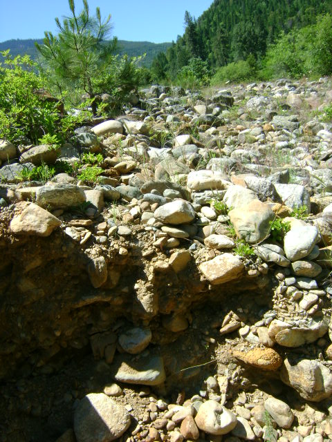
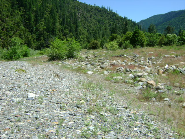
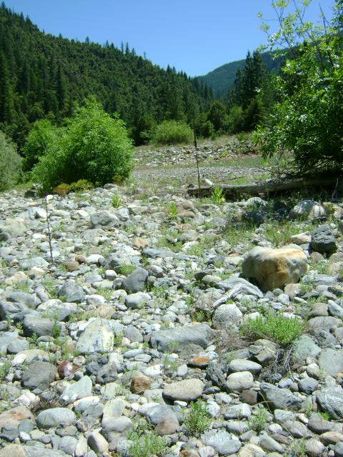
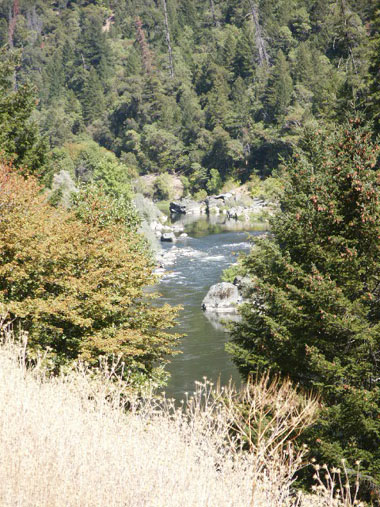
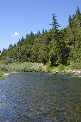
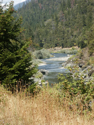
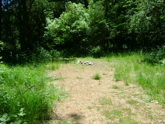
“Hot Spots” are places waiting to be discovered—by you! These places are located all over the west. Often they are referred as “virgin sites,” No one with a metal detector or a gold pan has ever been there (except for you!) “Hot Spots” can also be forgotten sites; places that very few people know about, today. These may have been explored by earlier generations of prospectors; but with today’s technology, they are worth checking out again!

To discover these sites, begin searching at your local library. Doing your research in the library can be a very mundane process. Spending hour upon hour sorting through maps and old newspapers, while not being entirely certain what you are looking for, can be very frustrating. More importantly, it can be time-wasting. To avoid this waste, go to the library with purpose, and be focused on your task. Are you hunting for old placer mines? Abandoned lode mines or their tailings dumps? Old hydraulic mining areas? Decide what you are searching for. Then narrow your search-effort, allowing yourself to use your time more efficiently.

Historical newspapers from the area of your interest can be a resource tool. I bounce back and forth, scanning microfilm, alternately searching through old books and maps. By acting like a metal detector with discrimination, I scan for key words, and ignore irrelevant information.

Maps, as you can imagine, may be a gold mine! To find these old maps, ask the librarian if they have a room dedicated to your State and/or County. Most libraries have rooms, or at least special sections, that are packed with local history! Many times, these areas are pretty disorganized. But such disorganization might actually be to your advantage. Maps and books which are buried in old boxes might be exactly what you are looking for! For a nominal price, some mail-order catalogs will also provide you with maps that can be helpful.

Sometimes, modern maps can produce clues from yesteryear, while providing you with leads from which to do further research. Often, browsing through a map, you will notice gulches, creeks, mountains, and roads that have interesting names. For example, on one of my gold prospecting research sessions, I came across a small creek called “Sluice-Box Creek.” Doing further research, I discovered there was a large population of Chinese miners working the area during the 1890’s. Little prospecting had been done since that time! Here is a prospect that might be worth checking out this next season!

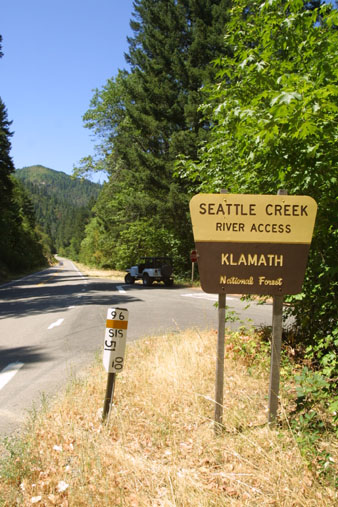
Old maps often actually show the exact location of old mines, sometimes even including the names. Then searching for the names can sometimes give you valuable information about the mines. Modern GPS electronics can then help you locate those old mines in the field!

There is nothing really difficult about all this. It takes time; and it all requires a proper state of mind. The best things in life don’t always come easy. So you have to allow yourself some time.

It is very important to keep all of your information and leads well-organized. I suggest that any photocopies that you make from books and micro film should have a notation of the author, title, and date of the publication from which it came. This might be important in the future. When you discover at some later time that you need more information from the source, you will more-easily know where to find it again! Many times while doing research, you will find both useful and useless information. Keep all information you find! I cannot count how many times I have gone through my papers, finding a new piece of information that I had not noticed before, or information that was not important previously, but is now!

It is also a good idea to keep a journal. This can be a very useful tool while out in the field. Many times, you may come across something interesting while out prospecting. Mark the location using your GPS. You might want to do some related research at a later date. By pinpointing interesting prospects on your map, and writing some useful notes, you will be prepared to go the library and possibly locate some historical information on the particular site.

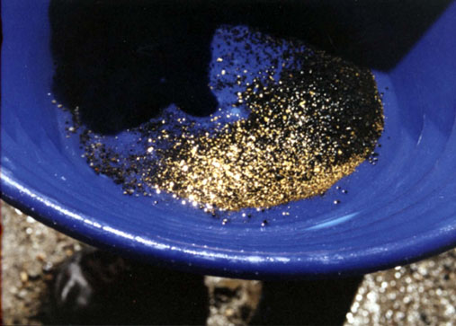
Remember, research is your best possible tool to help develop potential new prospects. The more time spent on research, the more you will be rewarded with productive sites to discover new “golden treasure.”

Tags