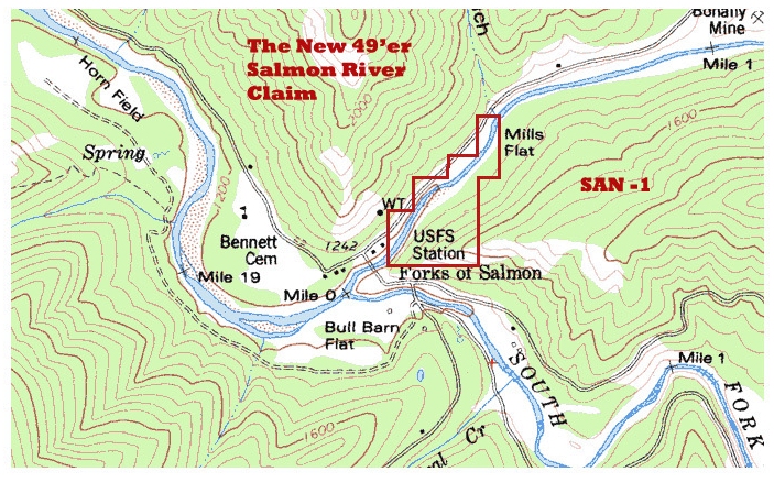

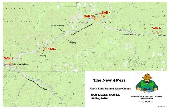
“Here follow the mining properties available to our members on the North Fork of the Salmon River.”
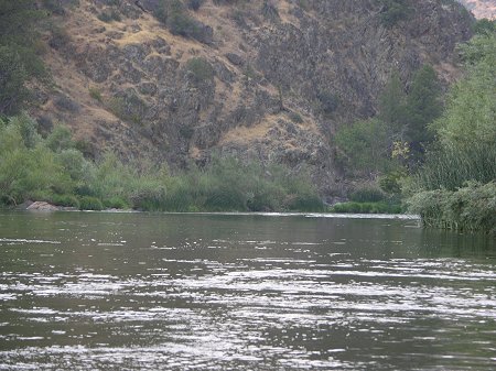
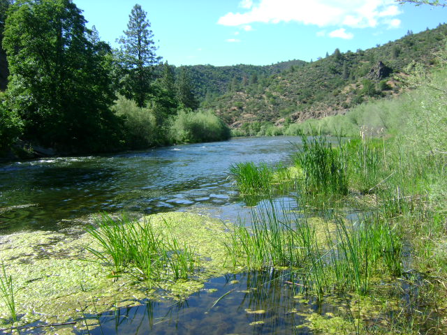
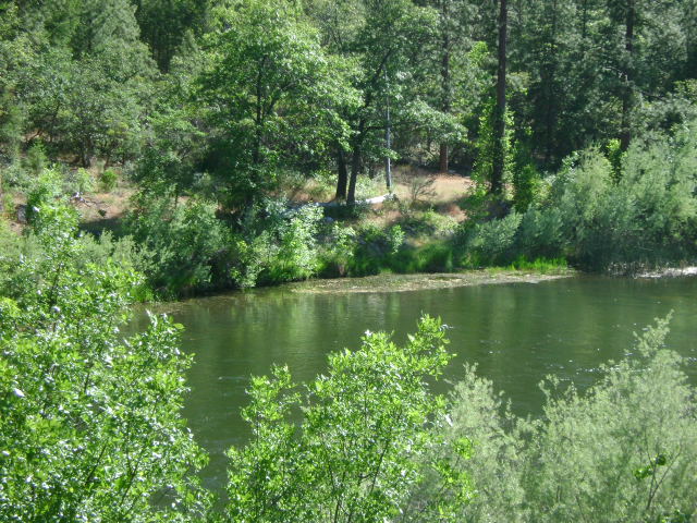
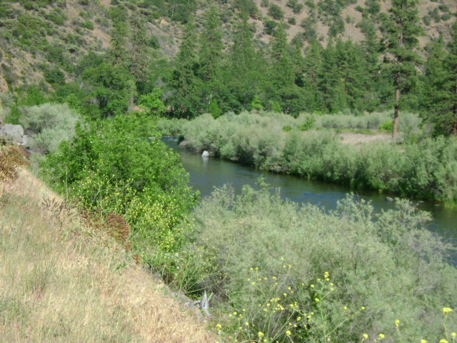
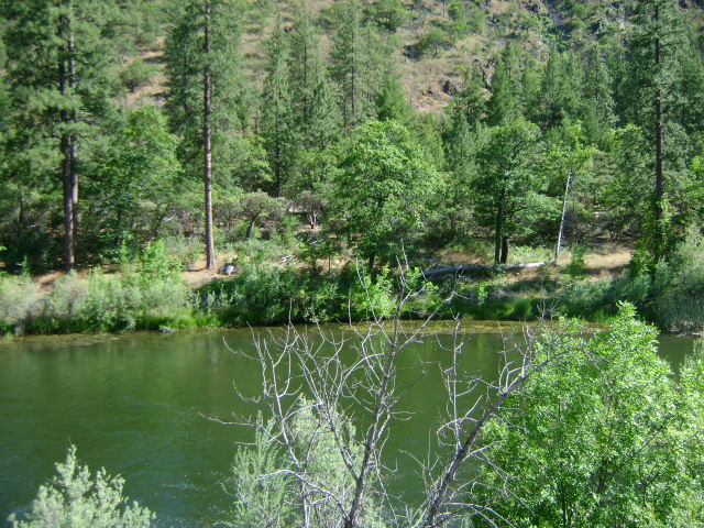
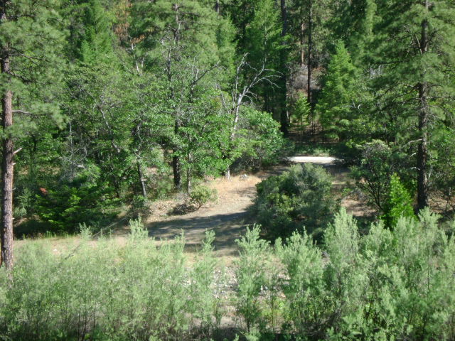
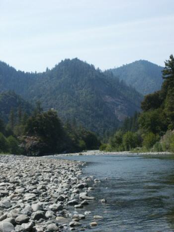 For those members who think the Main Stem of the Salmon River is beautiful, just wait until you see how nice it is up the North Fork! The area is like something right out of a story book. The views coming in from the upper road out of Etna (from Yreka) are outstanding!By the way, the road in from Yreka (through Etna) is generally better than the lower road in from Somes Bar at the mouth of the Salmon. Although it is steeper in places, it is generally wider and a better road. If you are traveling from Interstate 5, you can probably save a few hours by going to the North Fork through Etna. Please look at the enclosed full-color map to get a better look at this.
Forks of the Salmon (“Forks”) is a small community that is located around 19 miles up the Main Stem from the mouth of the Salmon. It is where the Main Stem meets both the North and South Forks. There is a post office there, a small store and a place that sells fuel and propane. We will use the Forks as a reference point to describe where our claims are along the North Fork:
Important note concerning Mining & Dredging Seasons on this Property
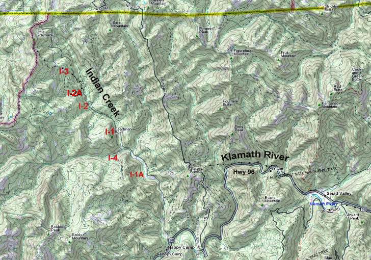
Click on claim numbers for details and maps of the claims.
Important note concerning Mining & Dredging Seasons on this Property
Google Earth Coordinates: 41 49’45.0″N 122 36’16.5″W
To view the content from the link above you will need to have Google Earth installed on your home computer. Download Google Earth
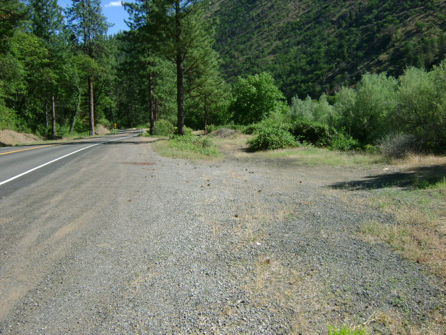
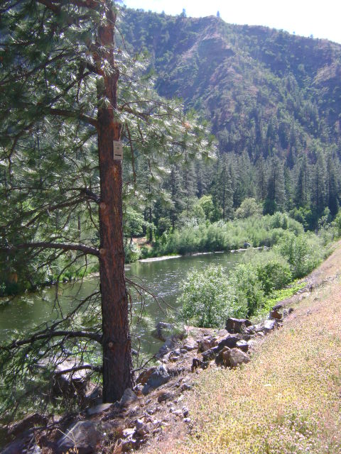
The lower boundary of this claim is located at mile marker 102.5 on Highway 96. Route 263 is the road which follows the Shasta River to Yreka. The upper boundary of UK-4 is located a half-mile downstream from where Route 263 meets Highway 96. Watch for the Club’s boundary signs posted on trees alongside Highway 96. There is a river access area towards the lower end of the claim.
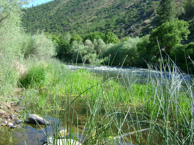
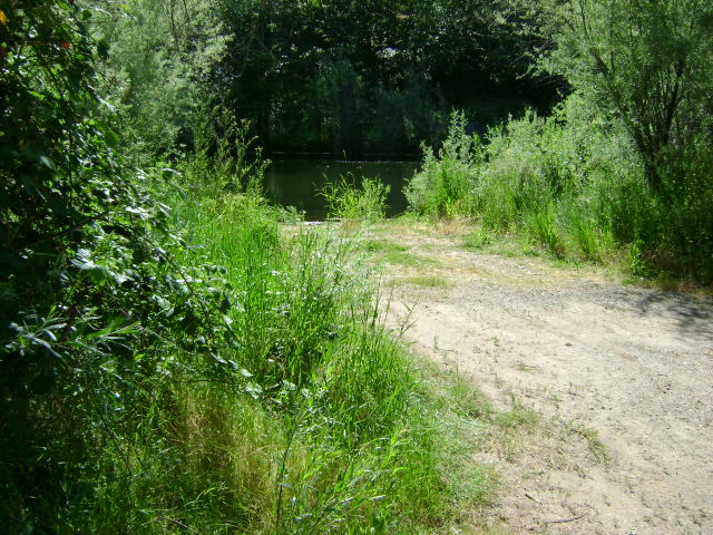
While there is some room for some camping at the river access area, the Bureau of Land Management (BLM) enforces a two week camping limit at this location. Please be very careful to not block or inhibit the use by others of this river access. It is a popular rafting launch and fishing area for local residents.
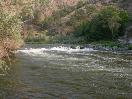
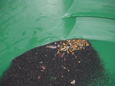
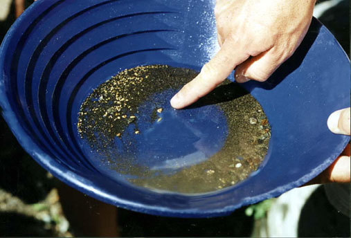
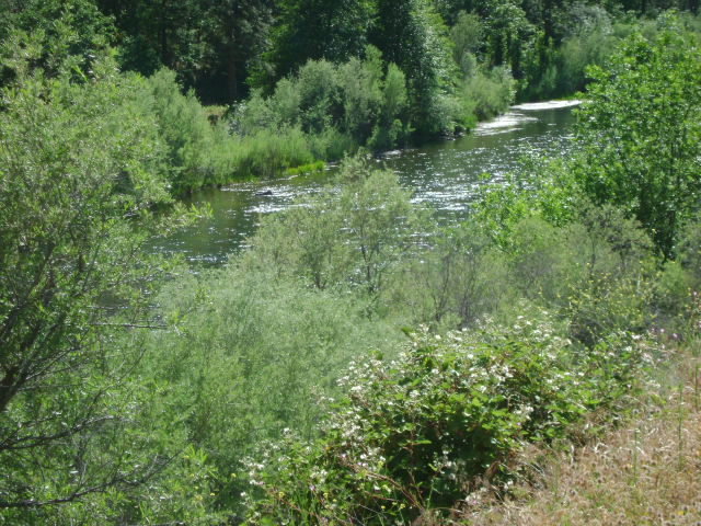
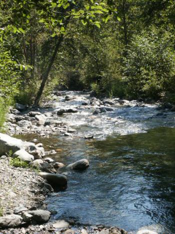
PROSPECTS: This is historically one of the richest sections of the Klamath River. Pan-tests along the high water mark are showing consistent color. There is some incredible-looking bedrock out in the river!
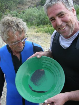
Just so you know, this new claim is only about a mile upstream from where Dave McCracken dredged up a 15.5 ounce gold nugget and recovered 24 ounces of gold on a single day! We have been watching this claim for many years. Now we have it!
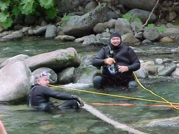
Several members have begun dredge-testing on the claim and have been turning up fines, flakes and small nuggets out of a hard-packed natural streambed which is on bedrock, and sometimes on a cemented layer of older streambed (false bedrock). There is excellent potential on this claim!

Upper Klamath :: Upper-mid Klamath :: Mid Klamath :: Lower Klamath
Elk Creek :: Indian Creek :: Scott River :: Thompson Creek
Salmon River Main Stem :: Salmon River North Fork
Master List of Mining Properties
Important note concerning Mining & Dredging Seasons on this Property
Google Earth Coordinates: 41 50’44.1″N 122 40’59.6″W
To view the content from the link above you will need to have Google Earth installed on your home computer. Download Google Earth
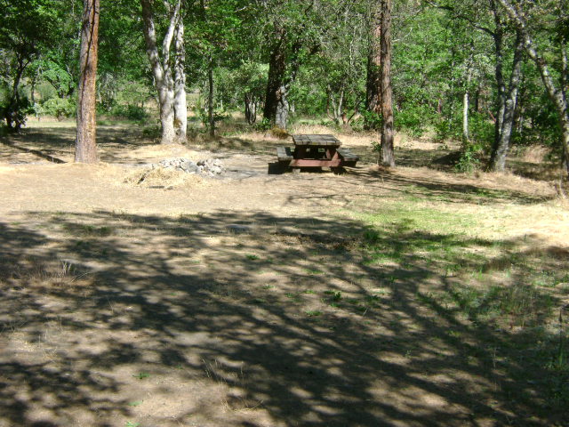
K-1 HUMBUG TAILING CLAIM– The Humbug Tailing Claim is located approximately 2 miles downriver from the Forest Service Tree of Heaven campground, which is located directly across from the Klamath River’s confluence with Humbug Creek. This is a short claim with both boundaries clearly posted on trees. The upper-claim boundary (mile marker 97.27) butts up against the downriver boundary of the LDMA patented mining claim. There is camping at this location–which is limited to two weeks.
PROSPECTS: This section of the river has an exceptional mining history. Members have been dredging off the road-side of the river using 4-inch dredges and having substantial success in fine and flake gold – and even nuggets. You can see the cobble piles where some dredging has taken place out in the river. Not much has been done out towards the middle of the river, yet. Some surface prospecting has been done out of the water, and members say they did pretty good. The Club sponsored a Group Dredging Project along K-1 and found some pretty good gold. Look for the gold along the bottom of a hard-packed flood layer near the surface, which is sitting on top of loose old bucket-line dredge tailings. Some flakes and nuggets have also been found along the far side off the bedrock.

“Here follow the mining properties available to our members on the Scott River.”
Important note concerning Mining & Dredging Seasons on this Property
Google Earth Coordinates: 41 51’23.0″N 122 42’8.4″W
To view the content from the link above you will need to have Google Earth installed on your home computer. Download Google Earth
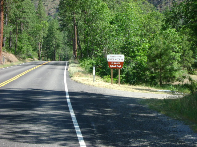
K-2 SKEAHAN BAR CLAIMS – are located three miles downriver from the Forest Service Tree of Heaven campground. Boundaries are clearly marked on trees alongside the highway (upper boundary at mile marker 96.00, and lower boundary at mile marker 95.49). Skeahan Bar is also a Forest Service developed river access (mile marker 95.59) location. Camping is available at this location–limited to two weeks.
PROSPECTS: This section of river has a proven rich mining history.


“Here follows the mining property available to our members on Indian Creek.”
“Here follows the mining property available to our members on Elk Creek.”
Click on claim numbers for details and maps of the claims.