Important note concerning Mining & Dredging Seasons on this Property
Google Earth Coordinates: 41 45’10.7″N 123 0’35.0″W
To view the content from the link above you will need to have Google Earth installed on your home computer. Download Google Earth
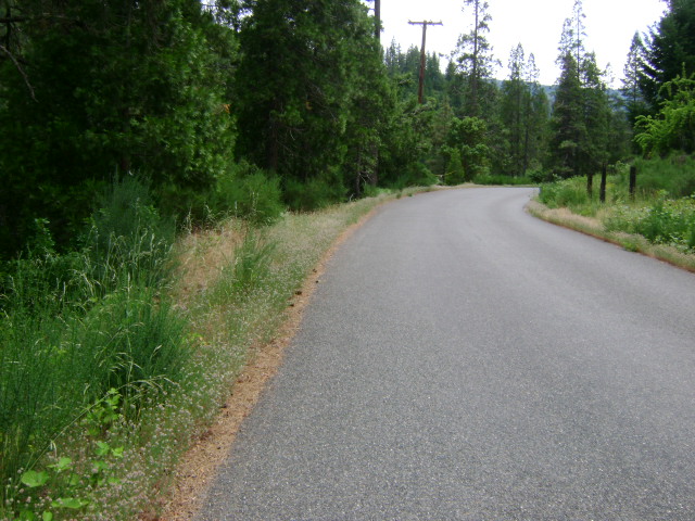
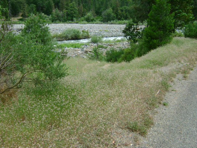
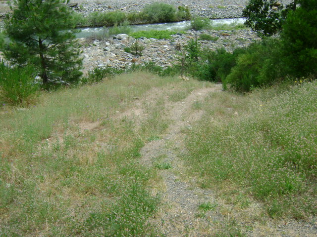
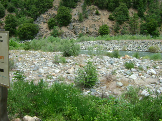
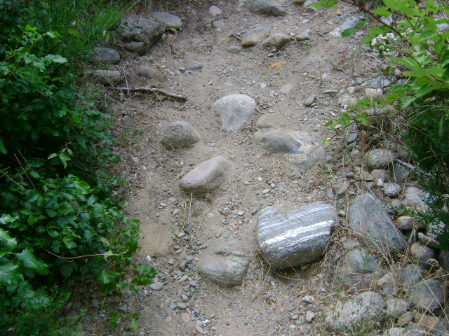
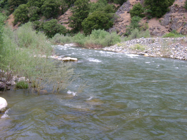
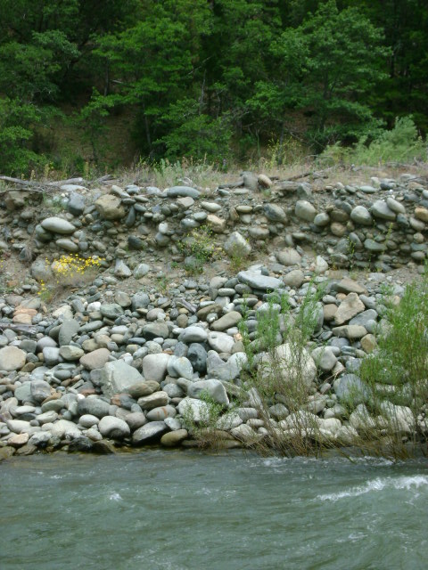
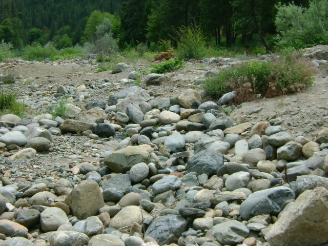
S-3 MIDDLE SCOTT RIVER CLAIM – The bottom of this claim (downriver end) is posted on a tree alongside the Scott River Road approximately 1.9 miles from the junction of Highway 96 and Scott River Road. The upper boundary is posted on a stake on the gravel bar alongside the river. This is a pretty short claim. Long-term camping is not available on this claim. There is camping on the S-1 claim several miles upriver.
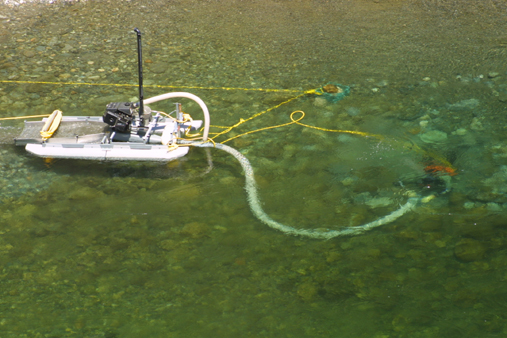
PROSPECTS: Members have been rewarded very nicely while working on this claim. Lots of good gold pockets–nice nuggets. It is one of our most popular claims in the Club. This claim has supported members in panning, sluicing and dredging.