

Important note concerning Mining & Dredging Seasons on this Property
Google Earth Coordinates: 41 50’9.7″N 122 56’35.4″W
To view the content from the link above you will need to have Google Earth installed on your home computer. Download Google Earth
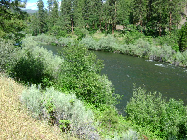
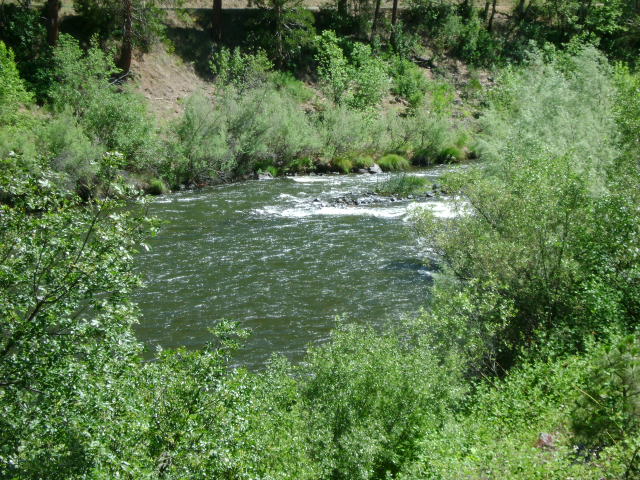
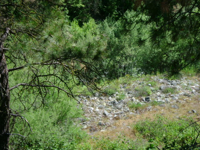
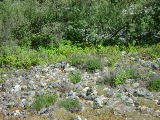
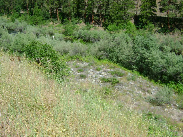
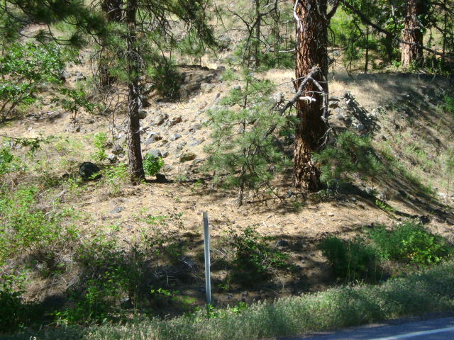
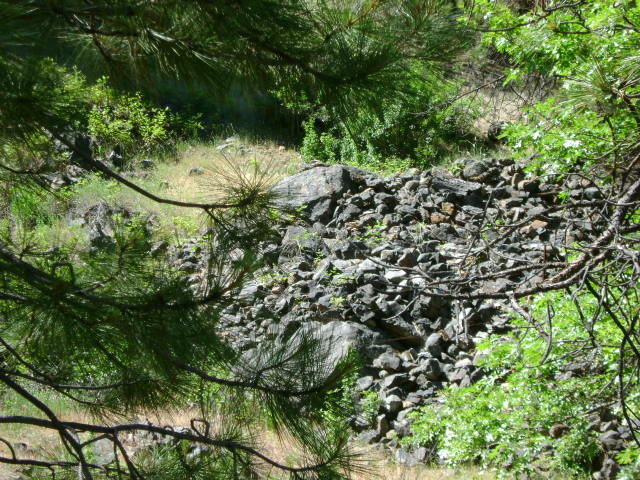
K-4 OAK BAR CLAIMS – are located three miles downriver from the old Oak Knoll Ranger Station. The upper boundary is located at mile marker 79.61, and the lower boundary is located at mile marker 79.33. Boundary signs are well posted on trees, not far down river from Kohl Creek. The claim is approximately a half-mile long. Access is reasonably easy.
PROSPECTS: The upper boundary butts up to the Oak Bar private property-which has a very rich history of placer gold mining.
Click on thumbnail for larger image.


Topo

3D Down

3D Up

Aerial

Satellite


