Important note concerning Mining & Dredging Seasons on this Property
Google Earth Coordinates: 41 51’50.8″N 122 47’22.2″W
To view the content from the link above you will need to have Google Earth installed on your home computer. Download Google Earth
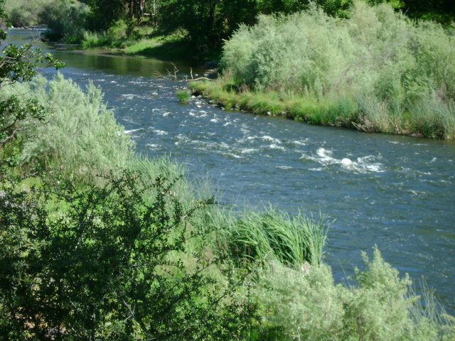
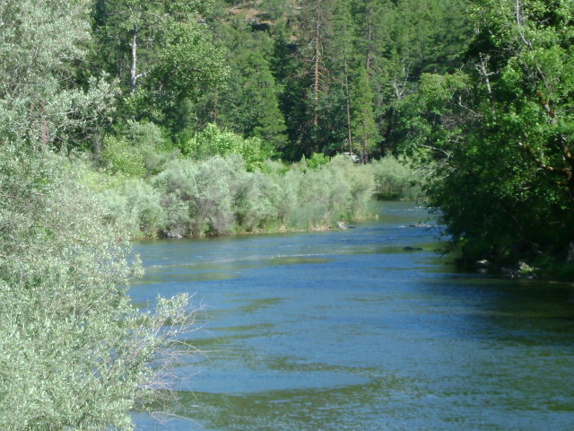
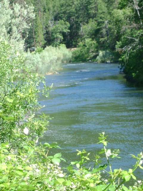
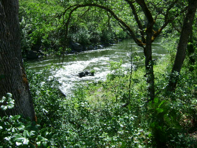
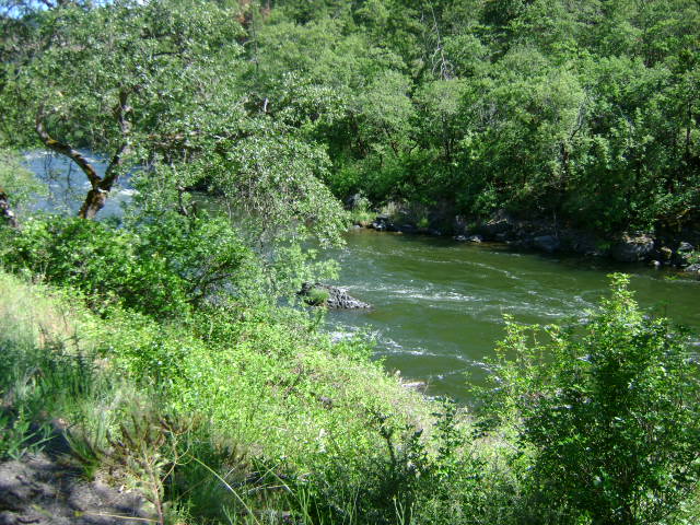
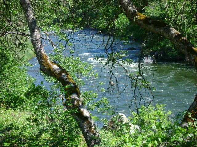
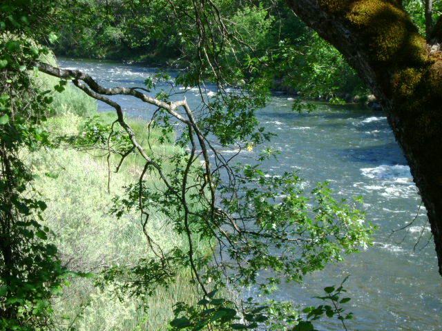
K-3 GOTTVILLE CLAIMS – are located 2 miles upriver from the town of Klamath River. The claims can be accessed from either side of the river. To reach the far side, cross the Walker Creek bridge, which is located 3-1/2 miles downriver from the town of Klamath River, and turn left on Walker Creek Road (which is gravel, but maintained). The downriver boundary (mile marker 89.68) of the claim is posted on a tree alongside the road. The upriver boundary of the claim is posted on a tree alongside Highway 96 near mile marker 90.51. There is some private property, with one house, between the river and Highway 96 about midway along the claim. Please allow the owners some space and privacy. The claim is about a mile long. Camping is available on the far side of the river–limited to two weeks.
PROSPECTS: This claim is located in the Gottville Mining District, which was historically one of the richest sections of the Klamath River.