Important note concerning Mining & Dredging Seasons on this Property
Google Earth Coordinates: 41 50’44.1″N 122 40’59.6″W
To view the content from the link above you will need to have Google Earth installed on your home computer. Download Google Earth
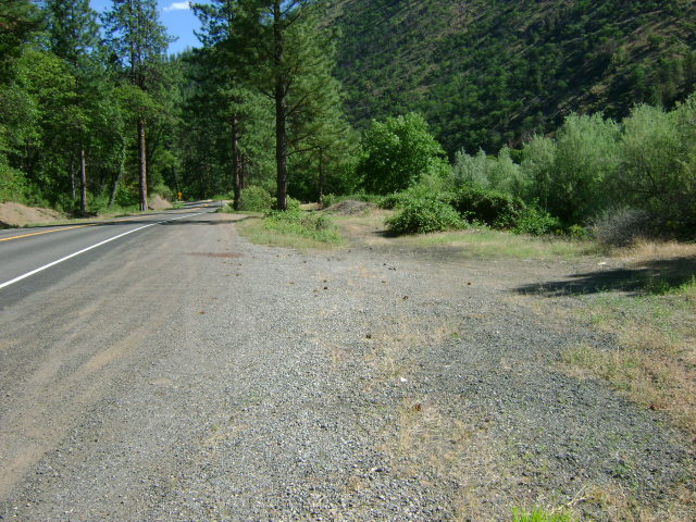
K-1 HUMBUG TAILING CLAIM– The Humbug Tailing Claim is located approximately 2 miles downriver from the Forest Service Tree of Heaven campground, which is located directly across from the Klamath River’s confluence with Humbug Creek. This is a short claim with both boundaries clearly posted on trees. The upper-claim boundary (mile marker 97.27) butts up against the downriver boundary of the LDMA patented mining claim. There is camping at this location–which is limited to two weeks.
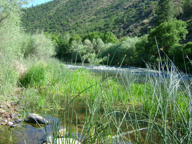
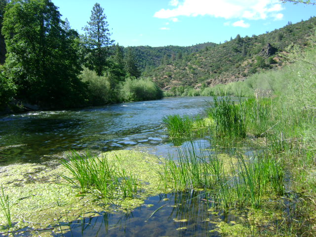
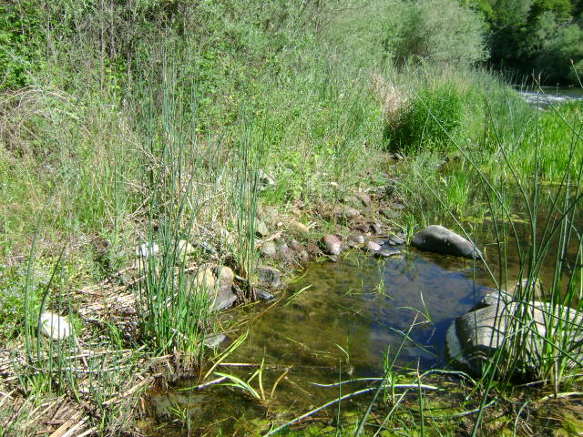
PROSPECTS: This section of the river has an exceptional mining history. Members have been dredging off the road-side of the river using 4-inch dredges and having substantial success in fine and flake gold – and even nuggets. You can see the cobble piles where some dredging has taken place out in the river. Not much has been done out towards the middle of the river, yet. Some surface prospecting has been done out of the water, and members say they did pretty good. The Club sponsored a Group Dredging Project along K-1 and found some pretty good gold. Look for the gold along the bottom of a hard-packed flood layer near the surface, which is sitting on top of loose old bucket-line dredge tailings. Some flakes and nuggets have also been found along the far side off the bedrock.