

Important note concerning Mining & Dredging Seasons on this Property
Google Earth Coordinates: 41 39’45.1″N 123 27’0.2″W
To view the content from the link above you will need to have Google Earth installed on your home computer. Download Google Earth
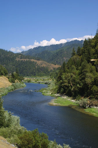
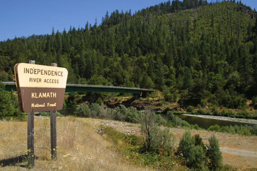
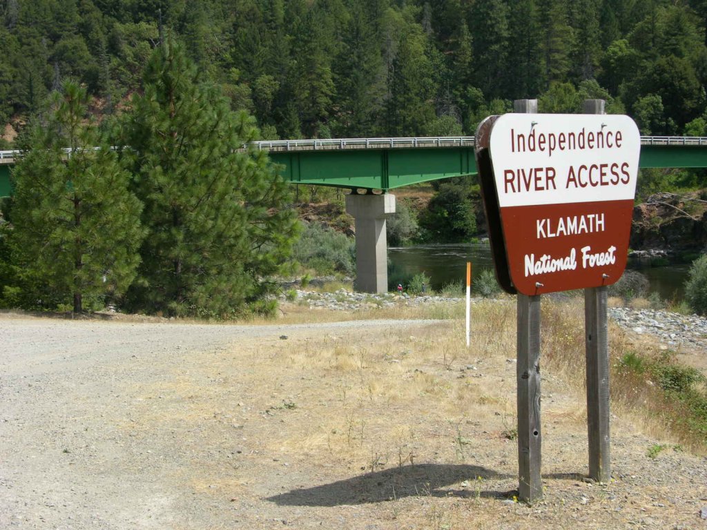
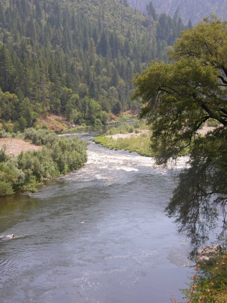
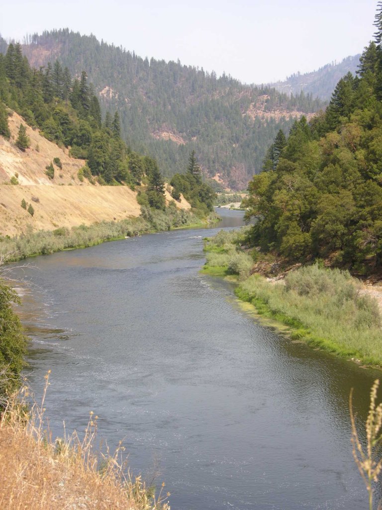
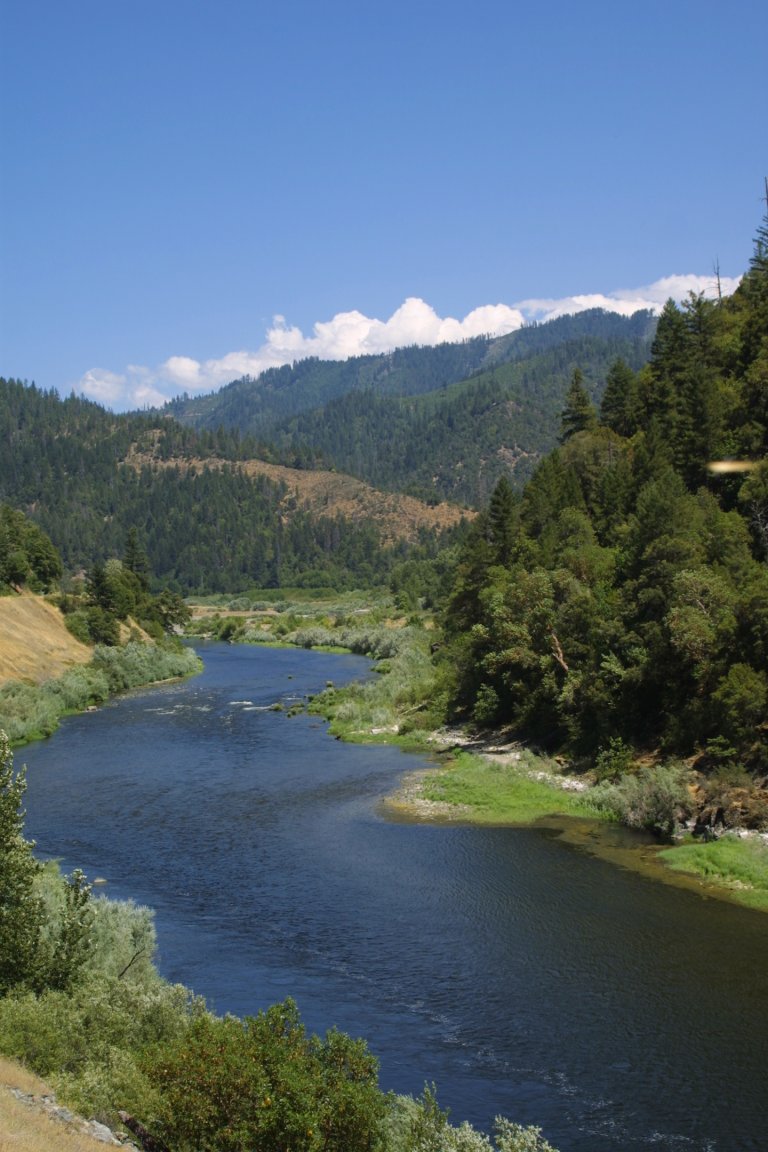
K-24 UPPER INDEPENDENCE CLAIM – is located 11 miles downriver from Happy Camp on Highway 96. The upriver claim boundary (mile marker 29.24) is posted on a tree alongside Highway 96. This is located about a quarter of a mile below the Forest Service developed river access Ferry Point. One downriver claim boundary (mile marker 28.20) is located about 60 yards upriver from the Independence Bridge on a tree on the far side of the river. You can usually see the boundary marker from the bridge. There is also a corner of the claim that extends out into the river down below the bridge (mile marker 28.20). Camping is available at the river access near the bridge. There is a toilet facility at a small rest stop along Highway 96 just upriver from the Independence Bridge. There is a trail that leads onto the far side of the river just over the bridge on the left side.
Check it out on Google Earth
IMPORTANT: The gravel bar (not the river) on the Hwy 96-side of the river, upstream from the bridge, is all private property (upper boundary of the private property can be found on a red post along side of the road). The owner does not want people crossing the bar without permission. The girls in our office can help you make contact with the owner.
PROSPECTS: This claim location is another of the richest gold areas we have along the Klamath River. We purchased the claim from a local commercial dredger who spent several seasons working a rich gold deposit toward the upper end of the claim. The deposit was in around 8 feet of gravel in the channel of the river, toward the highway side. Several members have dredge-sampled the far side of the river, and a short distance out into the river, towards the upper end of the claim, with mixed results. Most of the river channel has yet to be tested. Some members have had real good results surface prospecting (out of the water) on the gravel bars located on the far side of the river. This claim has excellent potential, with (estimate) hundreds of ounces of gold being recovered with dredges off the claim just below during recent years.


Upper Klamath :: Upper-mid Klamath :: Mid Klamath :: Lower Klamath
Elk Creek :: Indian Creek :: Scott River :: Thompson Creek
Salmon River Main Stem :: Salmon River North Fork
Master List of Mining Properties


